Mt Rainier Webcam Guide: Watch the Mountain Live from Tatoosh Range
Watch Mt Rainier live on webcam from the Tatoosh Range — weather, wildflowers, snow conditions, and stunning mountain views streaming 24/7.
Mt Rainier does not need an introduction. At 14,411 feet, it is the most prominent peak in the contiguous United States, an active stratovolcano capped with more glacial ice than any other mountain in the lower 48, and visible from over a hundred miles away on a clear day. People in Seattle, Tacoma, and across the Puget Sound region glance at it every morning to check whether “the mountain is out.” That phrase — the mountain is out — tells you everything about Rainier’s relationship with the people who live near it. It is not always visible. When it is, it commands attention.
A Mt Rainier webcam gives you that same check from anywhere in the world. Whether you are planning a summit attempt, timing a wildflower hike to Paradise, or just want to see what the most massive volcano in the Cascades looks like right now, live webcams deliver real conditions that no forecast or trip report from last week can match.
The Tatoosh Range Webcam
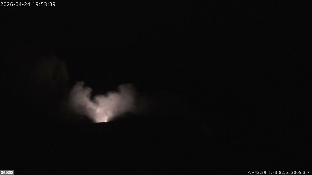
The Tatoosh Range webcam captures Mt Rainier from one of the most dramatic vantage points in the park. The Tatoosh Range is a rugged subrange that runs along the southern edge of Mt Rainier National Park, and the camera frames the massive north face of Rainier rising above the foreground ridgeline. From this angle, you get a clear sense of the mountain’s scale — the glaciers draped across its flanks, the summit crater, and the massive snowfields that feed rivers in every direction.
What to watch for: This camera gives you an unobstructed view of the upper mountain, which makes it one of the best tools for reading current conditions on Rainier. You can see cloud formations wrapping around the summit, track storms as they move in from the Pacific, and judge snow coverage from the tree line to the crater rim. On clear mornings, the mountain catches the first light well before sunrise reaches the valleys below, creating alpenglow — that deep pink-orange glow on the glaciers that lasts only a few minutes and is one of the most striking things you will ever see on a webcam.
The Tatoosh vantage also gives you a read on conditions at Paradise, the most visited area of the park, which sits on the mountain’s south side roughly between the camera and the summit. If the Tatoosh Range is socked in with clouds, Paradise is almost certainly dealing with the same weather.
What Makes Rainier Fascinating on Camera
Most mountain webcams show you a peak and some sky. Rainier gives you a show. The mountain is so massive that it creates its own weather, and that weather is endlessly watchable.
Lenticular Clouds
Rainier is famous for its lenticular cloud formations — smooth, lens-shaped clouds that form when moist air flows over the summit and gets forced upward. These clouds stack on top of each other in layers, sometimes making Rainier look like it is wearing a hat, sometimes making it look like a UFO is hovering over the peak. Lenticular clouds form quickly, reshape constantly, and can appear even on otherwise clear days. They are one of the most photographed weather phenomena in the Pacific Northwest, and a Rainier webcam is one of the best ways to catch them in real time.
Rapid Weather Shifts
Rainier sits in the path of every Pacific weather system that makes landfall in Washington. Storms roll in fast. A mountain that was crystal clear at 8 AM can be completely invisible by 10 AM and back again by noon. Watching the webcam over the course of a day gives you a feel for how volatile Cascade weather really is — and why experienced climbers and hikers never trust a morning sky as a guarantee of afternoon conditions.
Alpenglow and Light
Because Rainier rises so far above everything around it, it catches light at angles that lower terrain misses. Sunrise paints the glaciers pink and orange. Sunset turns the entire western face gold. On winter days with low sun angles, the shadows carving across the glacial crevasses create depth and texture you can see even through a webcam stream. The mountain looks different every hour.
The Banner Cloud
When high winds blow across the summit, Rainier often develops a banner cloud — a long plume of condensation streaming off the peak like a flag. This is a strong indicator of extreme winds at high elevation, and climbers watch for it as a sign that conditions above Camp Muir are dangerous. You can spot banner clouds easily on the Tatoosh webcam.
Seasonal Viewing Guide
Rainier puts on a different show every season, and the webcam captures all of it.
Winter (December - March)
Winter turns Rainier into a fortress. The summit carries its full glacial armor, and the slopes below it are buried under some of the heaviest snowfall in the world. Paradise regularly records over 50 feet of snow in a season — in 1971-72, it set the world record with 93 feet. The webcam shows the mountain at its most imposing: everything above the valley floors is white, storms cycle through constantly, and clear days between systems reveal the mountain in stark, cold detail against dark winter skies.
What to check: Summit visibility, incoming storm systems, and snowpack depth on the lower slopes. If you are planning a winter snowshoe trip to Paradise, the webcam tells you whether the road is dealing with active snowfall or if you are looking at a clear window.
Spring (April - June)
Spring on Rainier is a slow transition. Snow still dominates through April and May at elevation, but the lower valleys start to green up and waterfalls fed by snowmelt begin to roar. The webcam shows this progression clearly — the snowline retreats upward week by week, and you can track how the melt is progressing compared to previous years. Late spring is when climbing season ramps up, and the webcam gives you a sense of snow conditions on the routes visible from the Tatoosh side.
What to check: Snowline elevation, weather windows between spring storms, and whether the road to Paradise is likely open. The road typically opens for the season in late May or early June, weather permitting.
Summer (July - September)
This is peak season, and for good reason. The snowfields retreat enough to expose Rainier’s famous subalpine meadows, which explode with wildflowers in July and August. Paradise earns its name during these weeks — fields of lupine, paintbrush, avalanche lilies, and dozens of other species carpet the slopes below the glaciers. The webcam may not show individual flowers, but you can see the green transformation of slopes that were buried under snow just weeks earlier, and the contrast between the meadows and the ice above them is stunning.
Summer also brings the clearest views. Stable high-pressure systems can park over the Pacific Northwest for days, giving you unobstructed views of the mountain from sunrise to sunset. These are the days when you can see every crevasse on the Nisqually Glacier, every ridge on the Disappointment Cleaver route, and the full sweep of the summit crater.
What to check: Visibility for planning hikes, smoke from regional wildfires (August and September can bring haze), and afternoon cloud buildup that signals thunderstorm potential.
Fall (October - November)
Fall is underrated on Rainier. The crowds thin out dramatically, the first dustings of fresh snow appear on the upper mountain while the valleys still hold autumn color, and the light gets lower and more dramatic. The webcam captures the transition as Rainier shifts from summer mode back to winter mode — fresh snow lines creeping down the mountain, storms returning with more frequency, and the last clear days of the year producing some of the most dramatic views.
What to check: First snow events, storm frequency, and whether Paradise is still accessible before the road closes for winter, usually in November.
Weather Scouting for Hikers and Climbers
If you are planning to hike or climb on Rainier, the Tatoosh webcam is one of the most practical tools available to you. Here is what experienced Rainier visitors use webcams for:
- Summit visibility — If you cannot see the summit on the webcam, conditions above 10,000 feet are almost certainly poor. Climbers use this as a quick gut check before committing to a summit day.
- Storm tracking — Weather systems approach Rainier from the west and southwest. The webcam lets you watch them roll in and estimate how much time you have before conditions deteriorate.
- Cloud ceiling — You can estimate the elevation where clouds begin, which tells you whether a hike to Camp Muir (10,080 feet) will be above or below the clouds.
- Wind indicators — Banner clouds, blowing snow on the summit ridge, and the behavior of lenticular formations all give you information about wind speed at elevation.
- Snow conditions — Visible snow coverage on the routes helps you decide what gear to bring and whether trails are likely clear.
For climbing teams attempting the Disappointment Cleaver route or the Emmons Glacier route, checking the webcam in the days leading up to a climb builds a weather picture that supplements forecasts. Forecasts tell you what is predicted. The webcam shows you what is actually happening.
Paradise and Sunrise: Planning Your Visit
Mt Rainier National Park has two primary visitor areas, and webcams can help you choose between them.
Paradise sits at 5,400 feet on the south side of the mountain and is the most popular destination in the park. It is the trailhead for the Skyline Trail, the starting point for summit climbs via the standard route, and home to the historic Paradise Inn. The Tatoosh webcam gives you a general sense of conditions on this side of the mountain. If the Tatoosh Range is clear and the mountain is visible, Paradise is likely having a good day.
Sunrise, at 6,400 feet on the northeast side, is the highest point accessible by vehicle in the park. It offers a completely different perspective on Rainier and is generally drier than Paradise since it sits in a partial rain shadow. The Sunrise area opens later in the season (usually July) and closes earlier.
Road conditions matter. Both access roads are mountain roads that close in winter and can close temporarily for snow, rockfall, or flooding at any time of year. Before making the drive — especially if you are coming from Seattle or Portland — check the webcams to confirm the mountain is actually visible. There is nothing worse than a three-hour drive to Paradise only to sit in a parking lot surrounded by fog.
Rainier’s Dominance on the Horizon
One thing the webcam captures that photographs often miss is just how enormous Rainier is. This is not a peak among peers. Rainier rises nearly 8,000 feet above the surrounding ridgelines, a lone volcanic cone covered in 35 square miles of glacial ice. From the Tatoosh Range, there is no other mountain competing for your attention. Rainier fills the frame the way it fills the horizon for everyone who lives within sight of it.
On the clearest days, Rainier is visible from downtown Seattle, 60 miles to the northwest. From the summit of nearby peaks in the Cascades, it looks less like a mountain and more like a wall of ice rising out of the forest. That scale translates on webcam — even on a small screen, the mountain’s bulk and the texture of its glaciers are unmistakable.
It is also, worth remembering, an active volcano. The last major eruption was about 1,000 years ago, and the USGS monitors it continuously. The glaciers that make it so photogenic are the same glaciers that would generate catastrophic lahars — volcanic mudflows — in an eruption. The webcam is not a monitoring tool in any official sense, but it does give you a live view of the most dangerous volcano in the Cascades, which adds a certain edge to the watching.
Watch Mt Rainier Live
The Tatoosh Range webcam is streaming now. Head to our Mt Rainier camera page to watch the mountain live, or browse our full collection of over 14,383 webcam feeds from national parks, coastlines, volcanoes, and cities worldwide on our cameras page.
Rainier rewards patient watching. Check it at dawn for alpenglow. Check it midday for lenticular clouds. Check it during a storm to see the mountain disappear and reappear. And check it on those rare, perfect days when the air is clear from valley floor to summit and the mountain looks close enough to touch. Those days are why people in the Pacific Northwest never stop looking south.