Live Ca Webcams
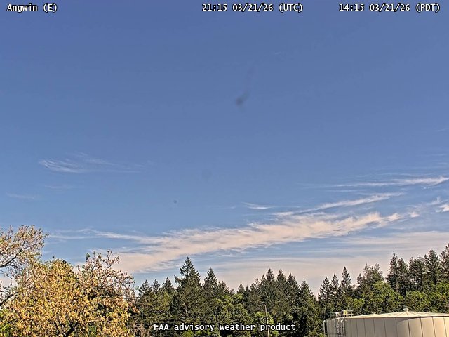
FAA weather camera at Angwin (2O3). View: East.
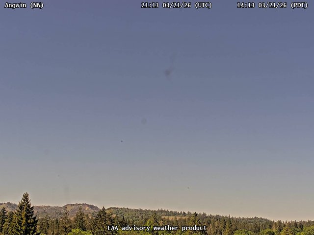
FAA weather camera at Angwin (2O3). View: NorthWest.
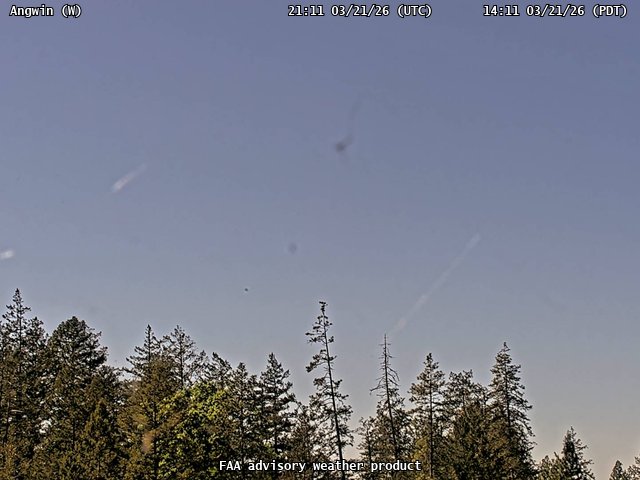
FAA weather camera at Angwin (2O3). View: West.
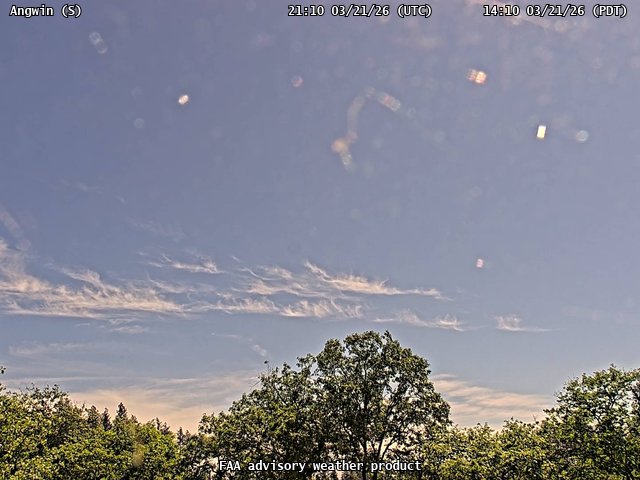
FAA weather camera at Angwin (2O3). View: South.
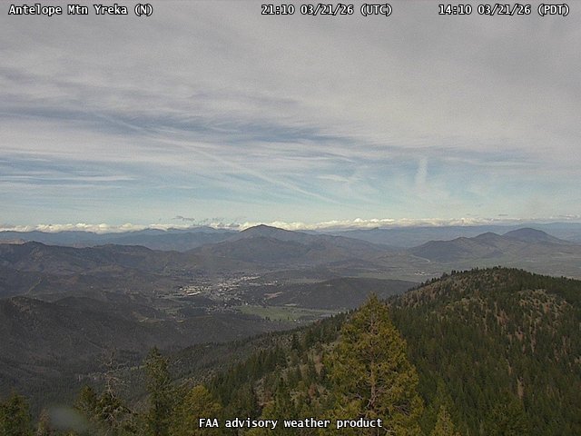
FAA weather camera at Antelope Mtn Yreka (N/A). View: North.
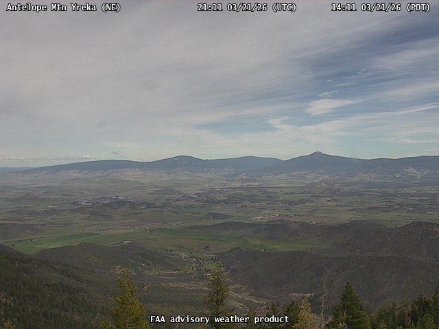
FAA weather camera at Antelope Mtn Yreka (N/A). View: NorthEast.
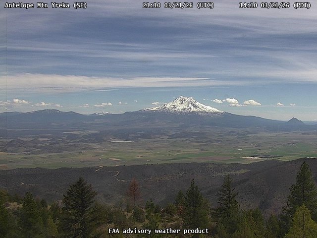
FAA weather camera at Antelope Mtn Yreka (N/A). View: SouthEast.
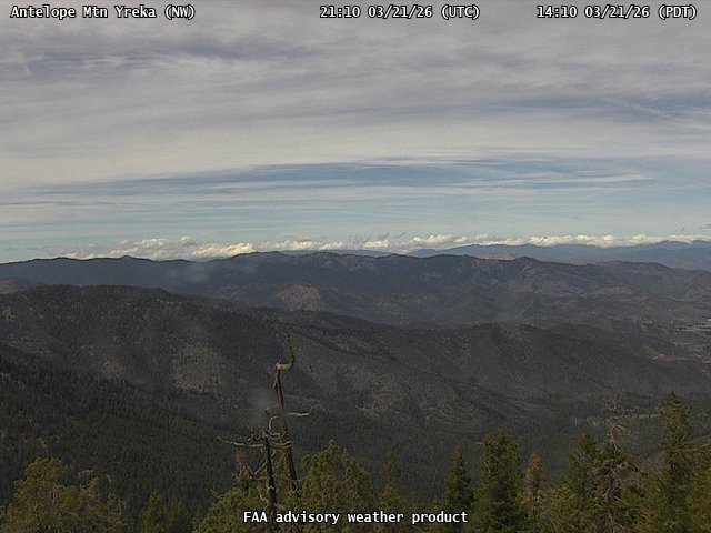
FAA weather camera at Antelope Mtn Yreka (N/A). View: NorthWest.
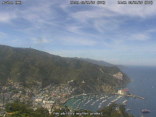
FAA weather camera at Avalon (N/A). View: NorthWest.
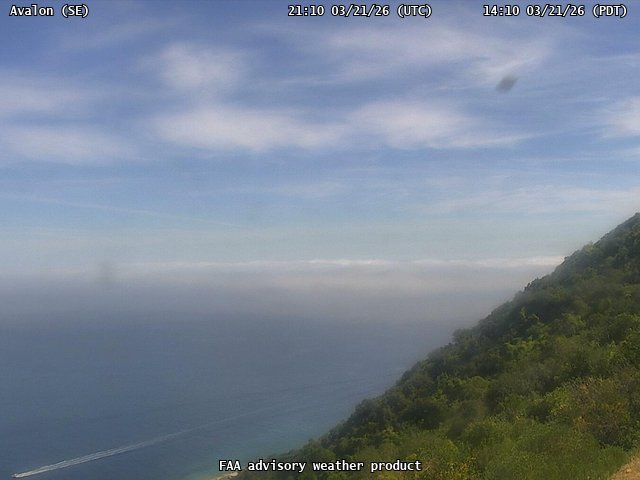
FAA weather camera at Avalon (N/A). View: SouthEast.
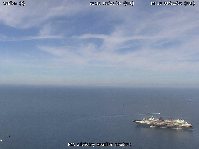
FAA weather camera at Avalon (N/A). View: North.
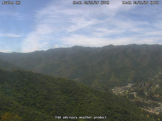
FAA weather camera at Avalon (N/A). View: West.
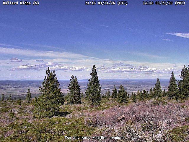
FAA weather camera at Ballard Ridge (N/A). View: North.
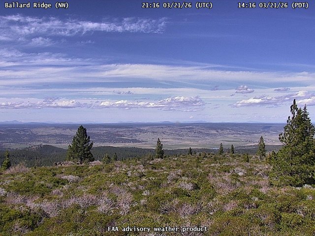
FAA weather camera at Ballard Ridge (N/A). View: NorthWest.
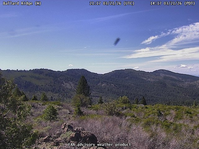
FAA weather camera at Ballard Ridge (N/A). View: West.
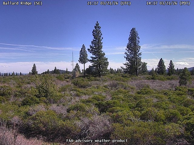
FAA weather camera at Ballard Ridge (N/A). View: SouthEast.

FAA weather camera at Barham (N/A). View: North.
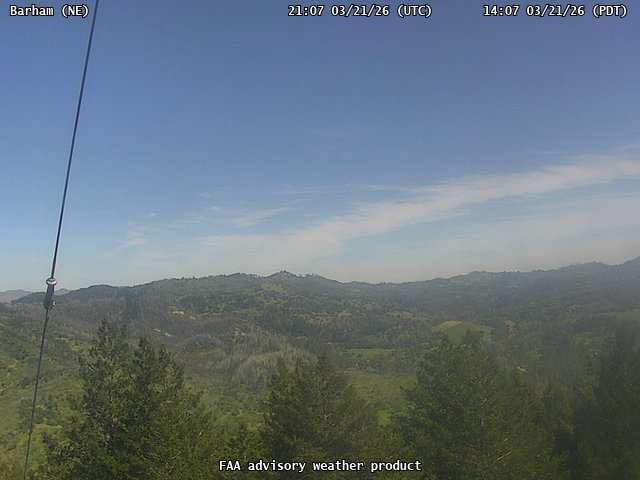
FAA weather camera at Barham (N/A). View: NorthEast.
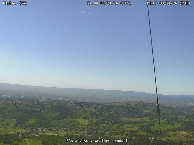
FAA weather camera at Barham (N/A). View: SouthWest.
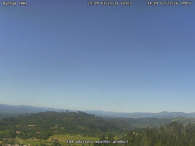
FAA weather camera at Barham (N/A). View: NorthWest.
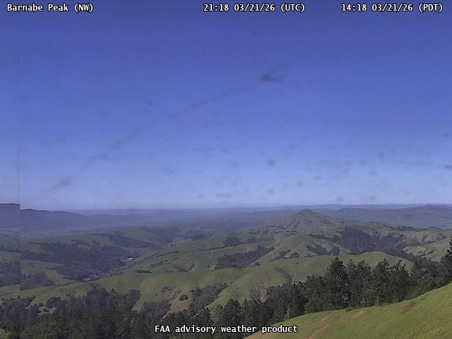
FAA weather camera at Barnabe Peak (N/A). View: NorthWest.
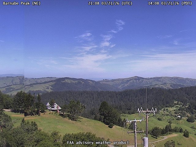
FAA weather camera at Barnabe Peak (N/A). View: NorthEast.
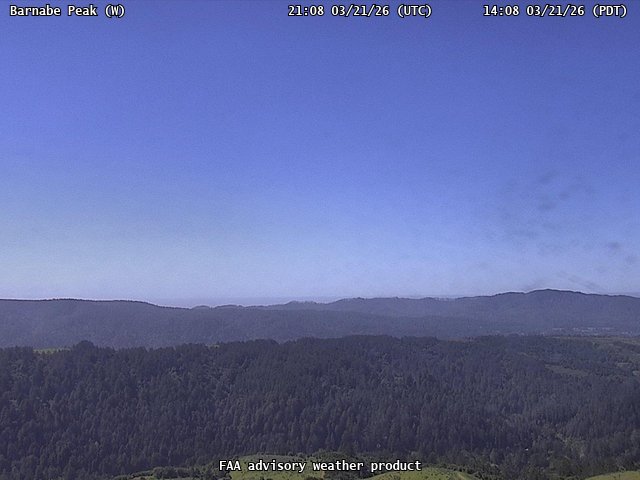
FAA weather camera at Barnabe Peak (N/A). View: West.
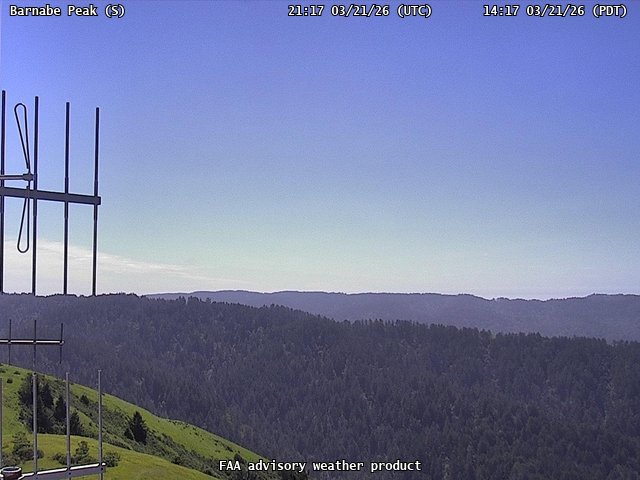
FAA weather camera at Barnabe Peak (N/A). View: South.
FAA weather camera at Barry Ridge Kneeland (N/A). View: North.
FAA weather camera at Barry Ridge Kneeland (N/A). View: NorthEast.
FAA weather camera at Barry Ridge Kneeland (N/A). View: NorthWest.
FAA weather camera at Barry Ridge Kneeland (N/A). View: SouthEast.
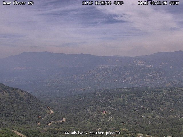
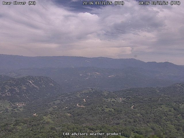
FAA weather camera at Bear Clover (N/A). View: North.
FAA weather camera at Bear Clover (N/A). View: NorthEast.
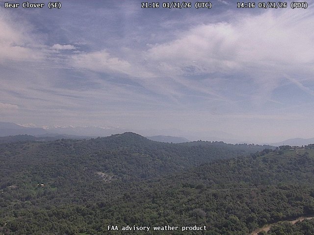
FAA weather camera at Bear Clover (N/A). View: SouthEast.
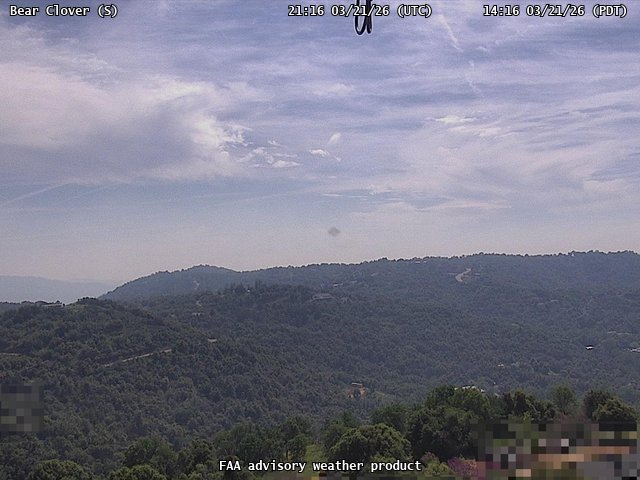
FAA weather camera at Bear Clover (N/A). View: South.
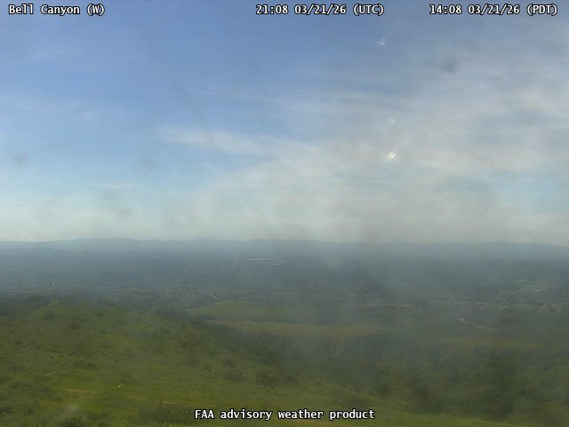
FAA weather camera at Bell Canyon (N/A). View: West.
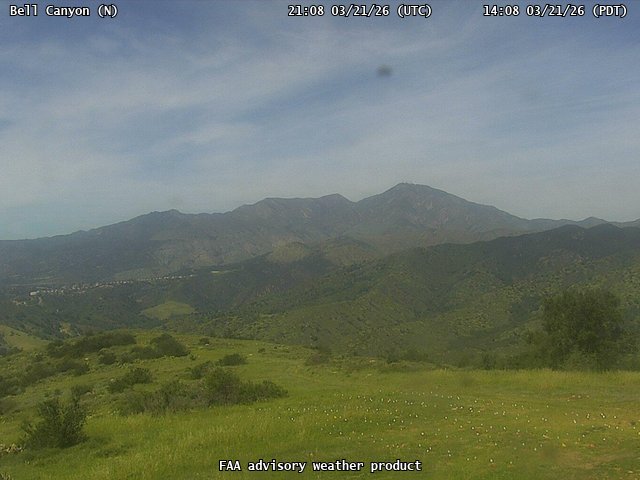
FAA weather camera at Bell Canyon (N/A). View: North.
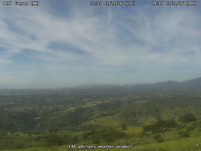
FAA weather camera at Bell Canyon (N/A). View: NorthWest.
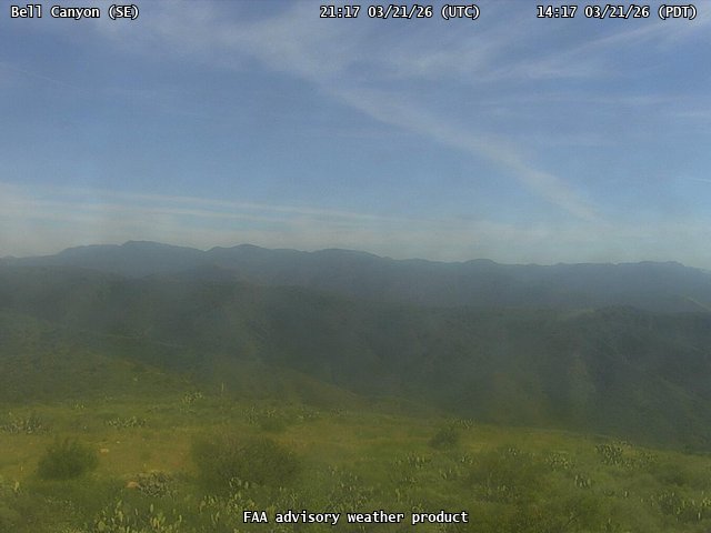
FAA weather camera at Bell Canyon (N/A). View: SouthEast.
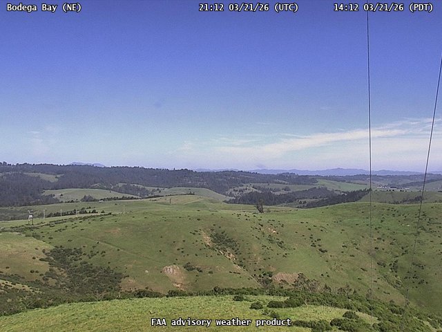
FAA weather camera at Bodega Bay (N/A). View: NorthEast.
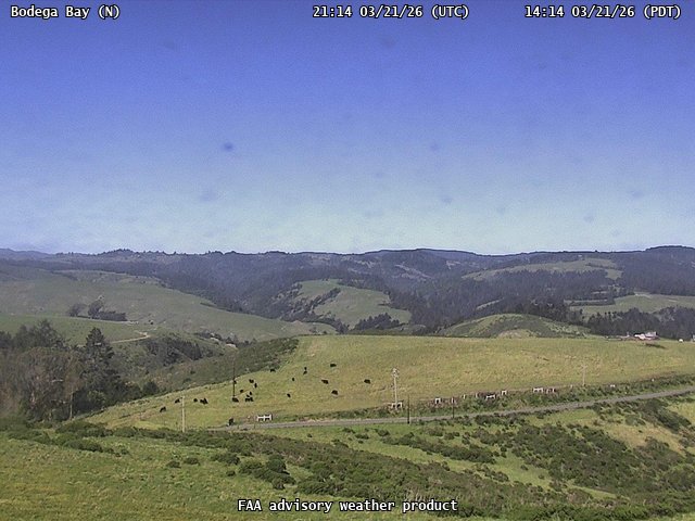
FAA weather camera at Bodega Bay (N/A). View: North.
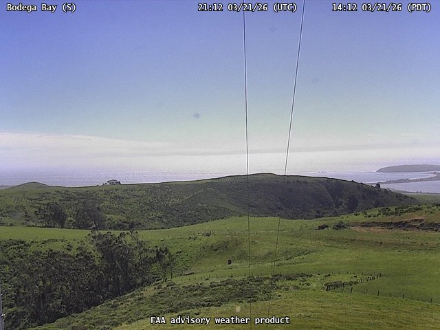
FAA weather camera at Bodega Bay (N/A). View: South.

FAA weather camera at Bodega Bay (N/A). View: SouthEast.

FAA weather camera at Buckingham Peak (N/A). View: West.
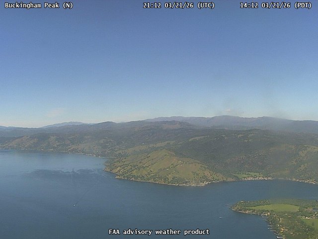
FAA weather camera at Buckingham Peak (N/A). View: North.
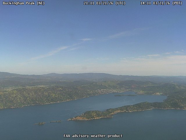
FAA weather camera at Buckingham Peak (N/A). View: NorthEast.
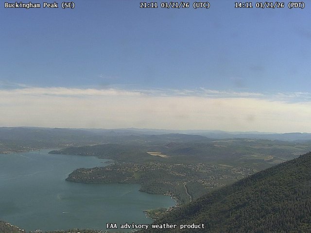
FAA weather camera at Buckingham Peak (N/A). View: SouthEast.
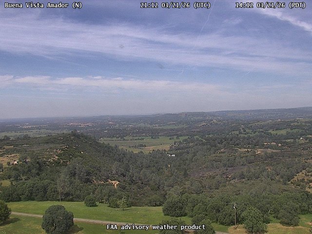
FAA weather camera at Buena Vista Amador (N/A). View: North.
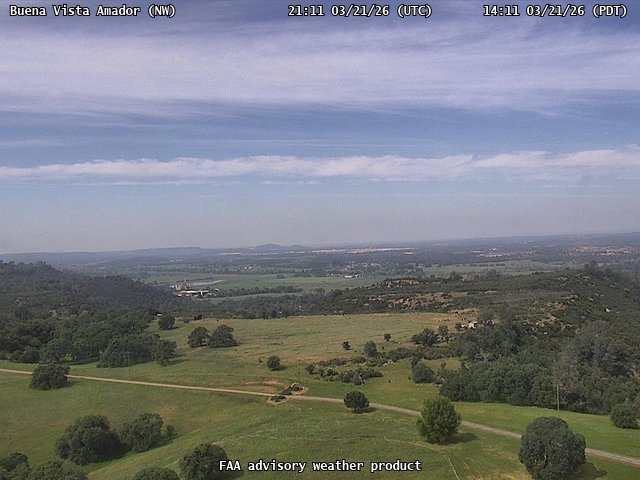
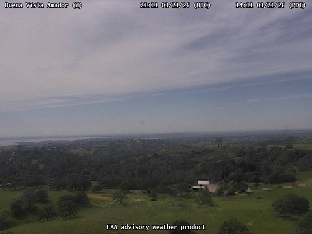
FAA weather camera at Buena Vista Amador (N/A). View: NorthWest.
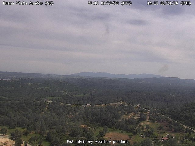
FAA weather camera at Buena Vista Amador (N/A). View: SouthEast.
FAA weather camera at Buena Vista Amador (N/A). View: West.
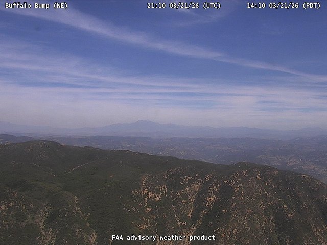
FAA weather camera at Buffalo Bump (N/A). View: NorthEast.
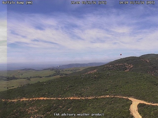
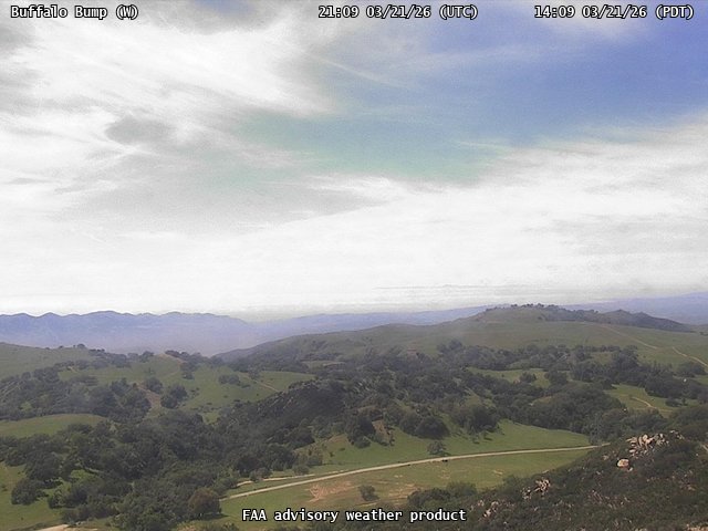
FAA weather camera at Buffalo Bump (N/A). View: NorthWest.
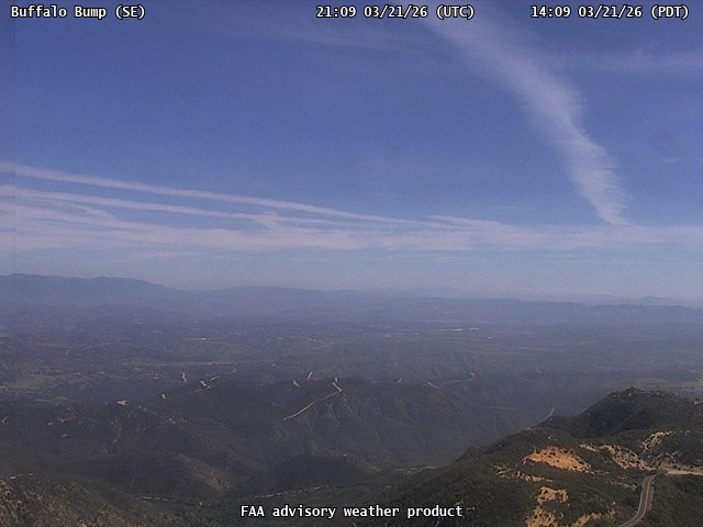
FAA weather camera at Buffalo Bump (N/A). View: SouthEast.
FAA weather camera at Buffalo Bump (N/A). View: West.
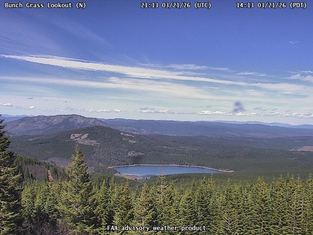
FAA weather camera at Bunch Grass Lookout (N/A). View: North.
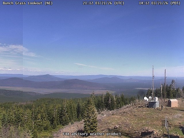
FAA weather camera at Bunch Grass Lookout (N/A). View: NorthEast.
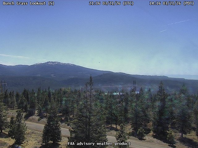
FAA weather camera at Bunch Grass Lookout (N/A). View: South.
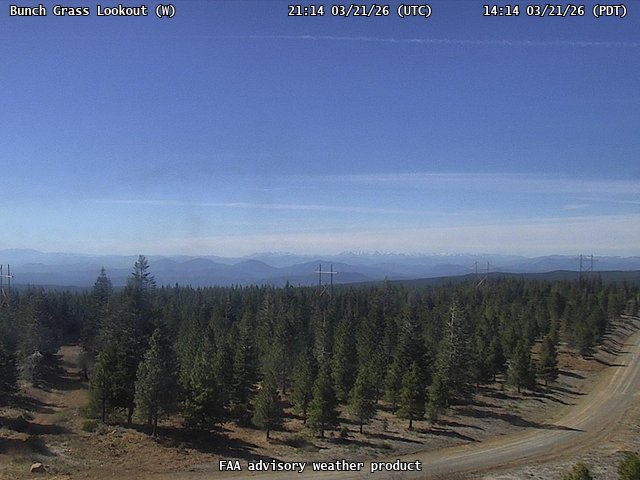
FAA weather camera at Bunch Grass Lookout (N/A). View: West.
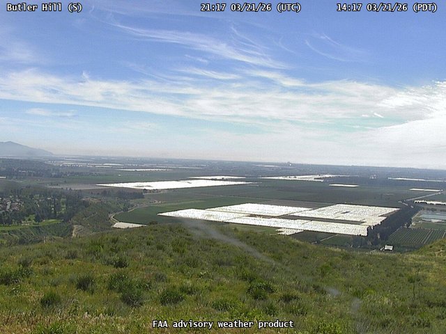
FAA weather camera at Butler Hill (N/A). View: South.
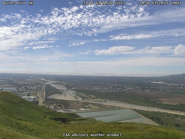
FAA weather camera at Butler Hill (N/A). View: West.

FAA weather camera at Cameron (N/A). View: NorthWest.
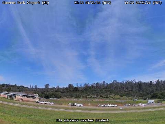
FAA weather camera at Cameron Park Airport (O61). View: NorthEast.
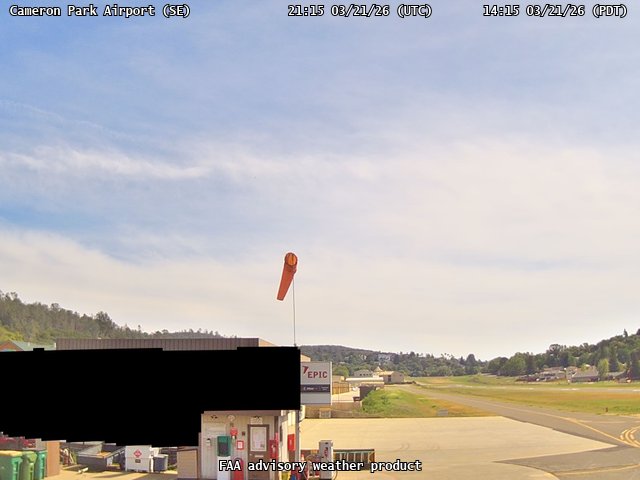
FAA weather camera at Cameron Park Airport (O61). View: SouthEast.

FAA weather camera at Cameron Park Airport (O61). View: West.
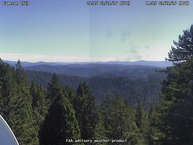
FAA weather camera at Cameron (N/A). View: SouthEast.
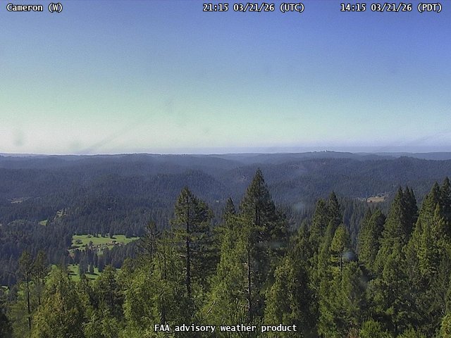
FAA weather camera at Cameron (N/A). View: West.
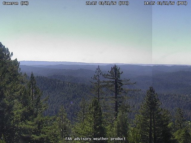
FAA weather camera at Cameron (N/A). View: SouthWest.
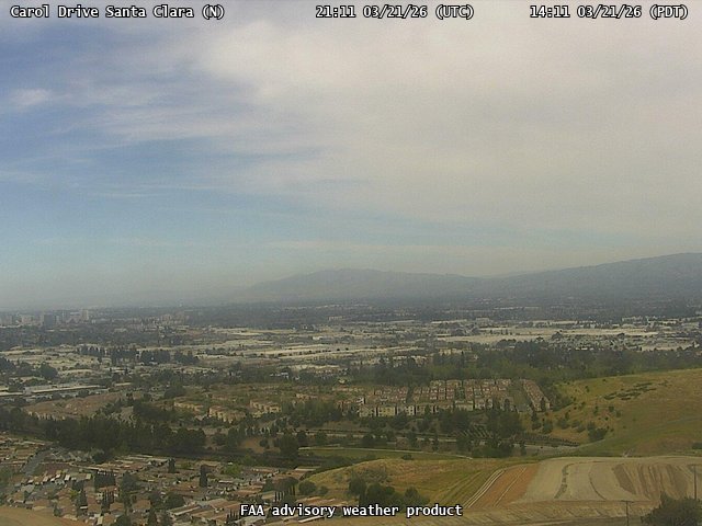
FAA weather camera at Carol Drive Santa Clara (N/A). View: North.
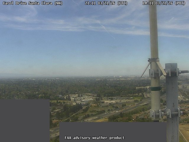
FAA weather camera at Carol Drive Santa Clara (N/A). View: NorthWest.
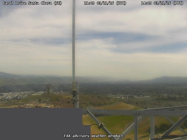
FAA weather camera at Carol Drive Santa Clara (N/A). View: SouthEast.
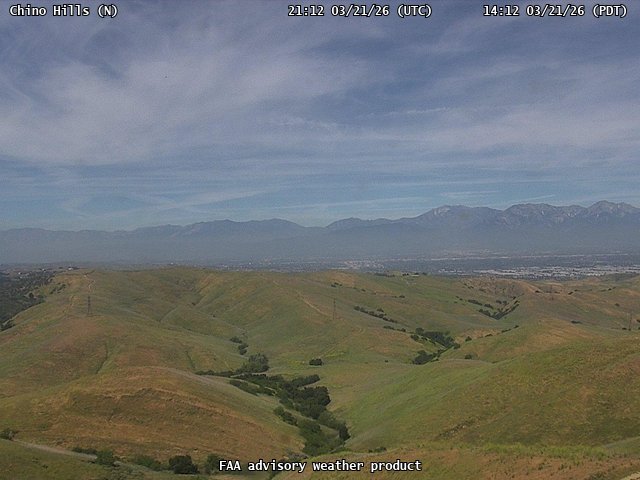
FAA weather camera at Chino Hills (N/A). View: North.
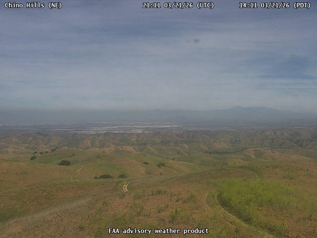
FAA weather camera at Chino Hills (N/A). View: NorthEast.
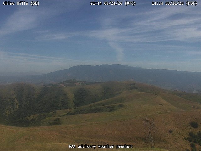
FAA weather camera at Chino Hills (N/A). View: SouthEast.
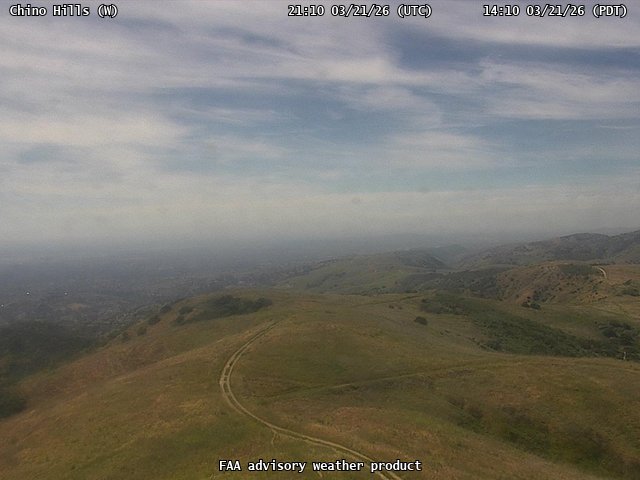
FAA weather camera at Chino Hills (N/A). View: West.
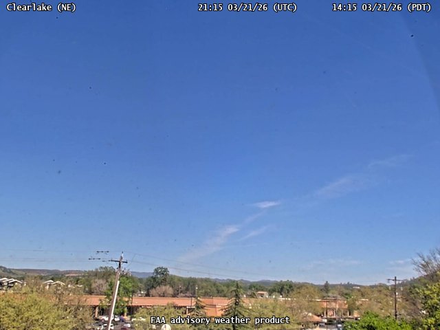
FAA weather camera at Clearlake (N/A). View: NorthEast.
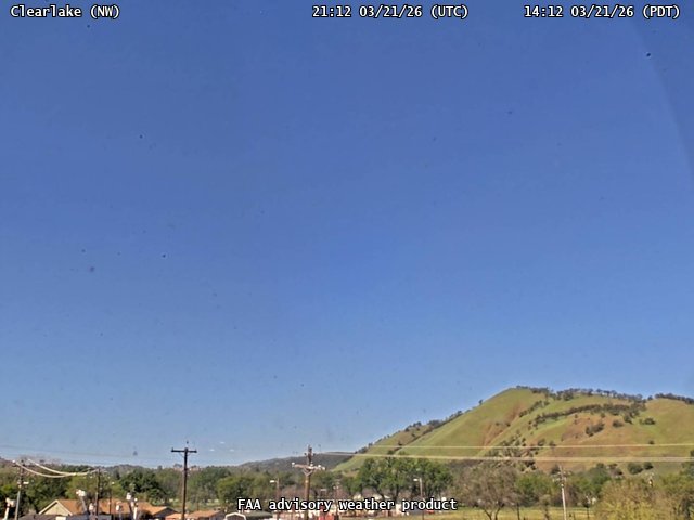
FAA weather camera at Clearlake (N/A). View: NorthWest.
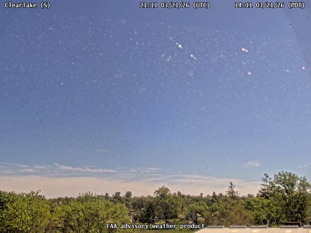
FAA weather camera at Clearlake (N/A). View: South.
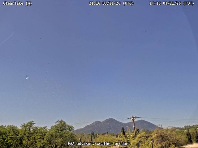
FAA weather camera at Clearlake (N/A). View: West.
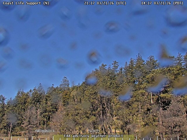
FAA weather camera at Coast Life Support (N/A). View: North.
FAA weather camera at Coast Life Support (N/A). View: South.
FAA weather camera at Coast Life Support (N/A). View: West.
FAA weather camera at Concow Mtn (N/A). View: North.
FAA weather camera at Concow Mtn (N/A). View: South.
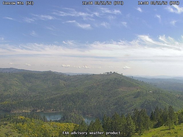
FAA weather camera at Concow Mtn (N/A). View: SouthEast.
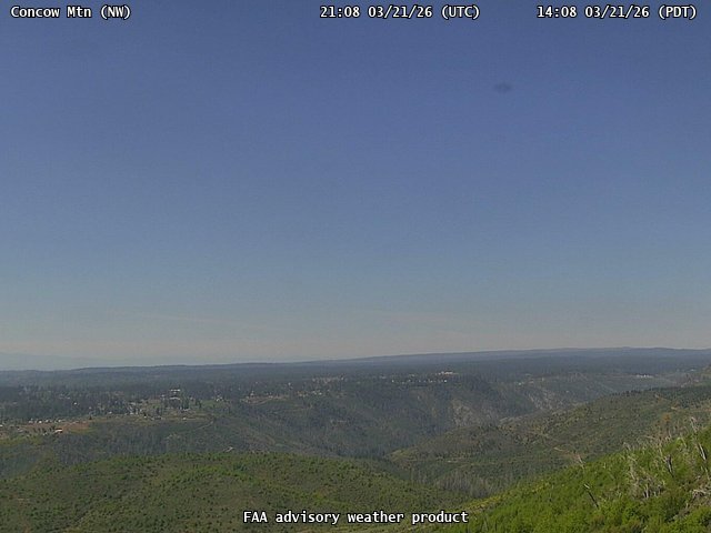
FAA weather camera at Concow Mtn (N/A). View: NothWest.
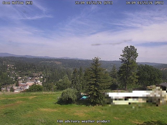
FAA weather camera at Coon Hollow (N/A). View: NorthEast.
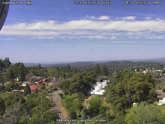
FAA weather camera at Coon Hollow (N/A). View: NorthWest.
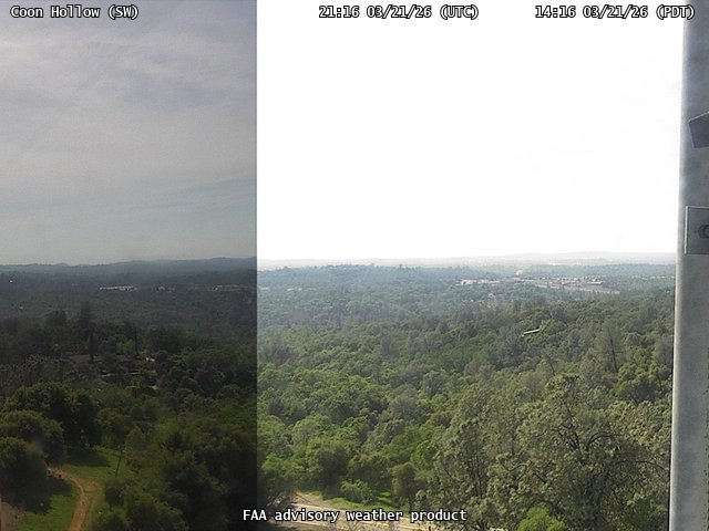
FAA weather camera at Coon Hollow (N/A). View: SouthWest.
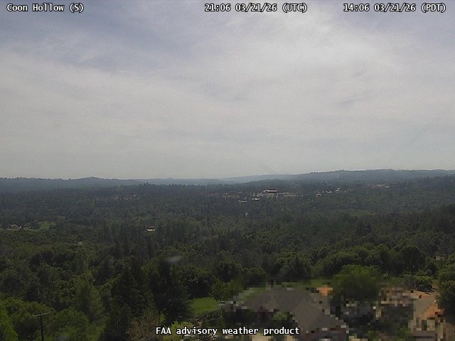
FAA weather camera at Coon Hollow (N/A). View: South.
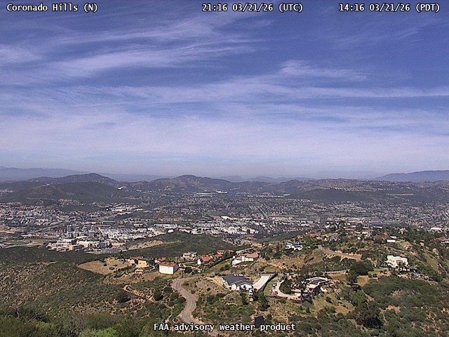
FAA weather camera at Coronado Hills (N/A). View: North.
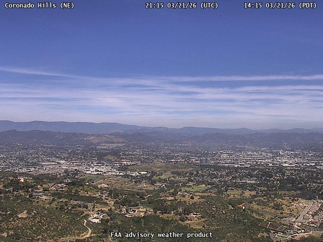
FAA weather camera at Coronado Hills (N/A). View: NorthEast.
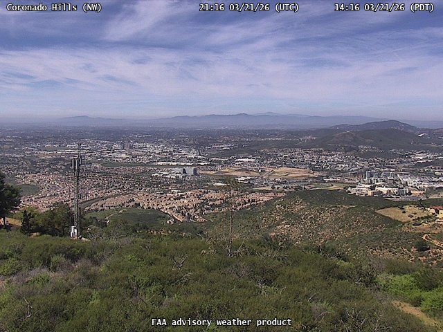
FAA weather camera at Coronado Hills (N/A). View: NorthWest.
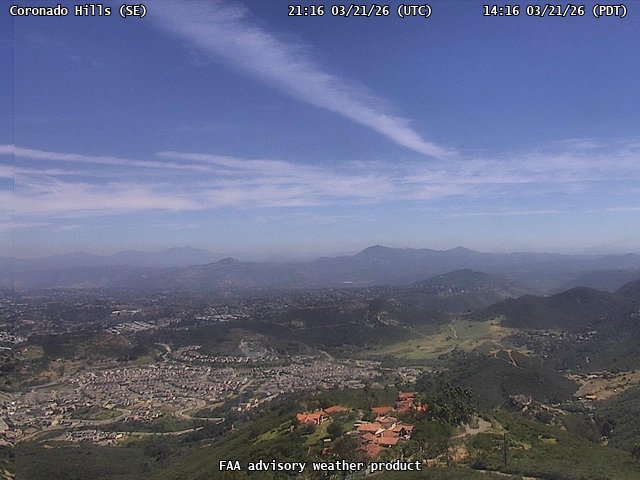
FAA weather camera at Coronado Hills (N/A). View: SouthEast.

FAA weather camera at Covelo (N/A). View: East.
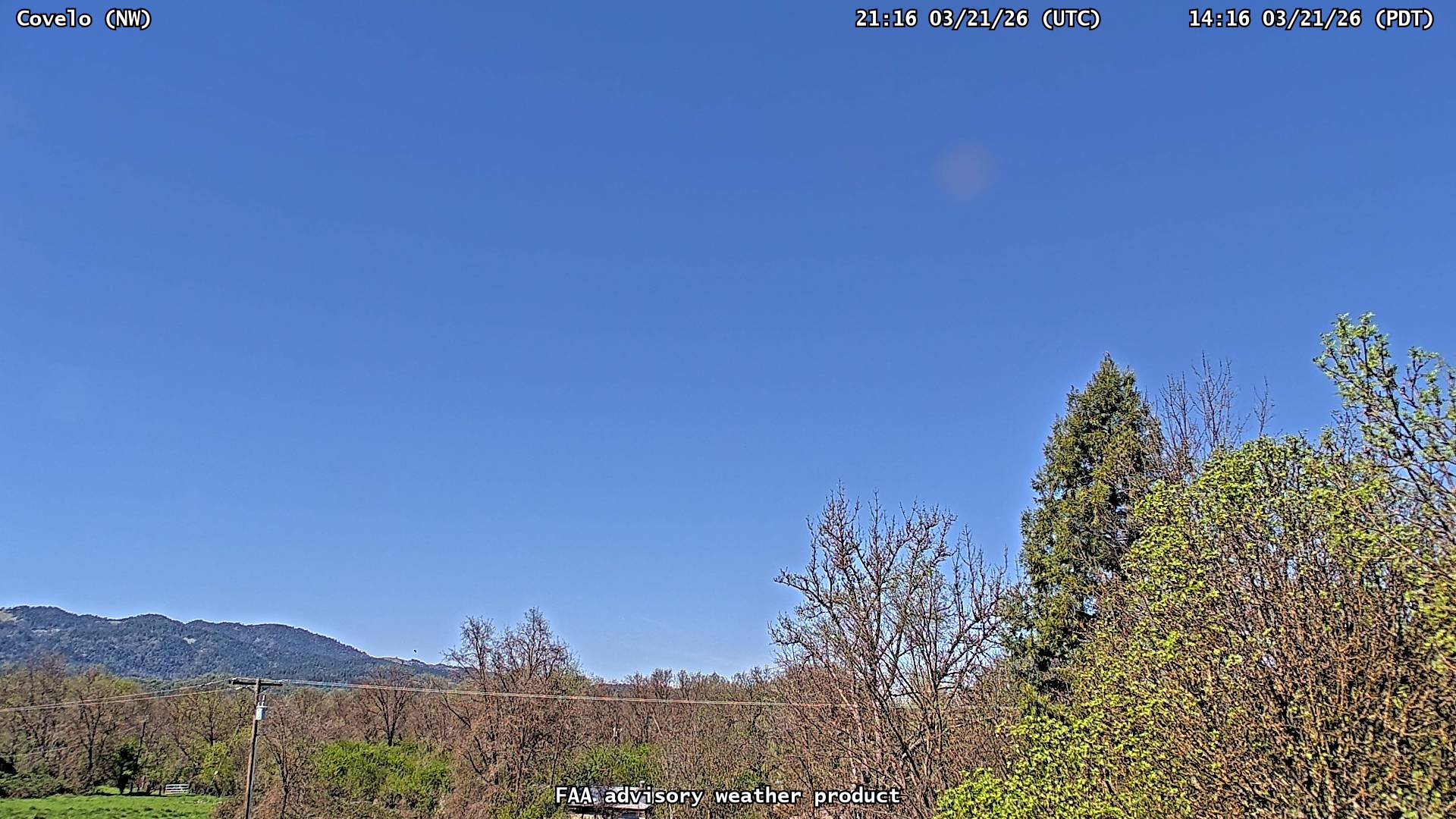
FAA weather camera at Covelo (N/A). View: NorthWest.
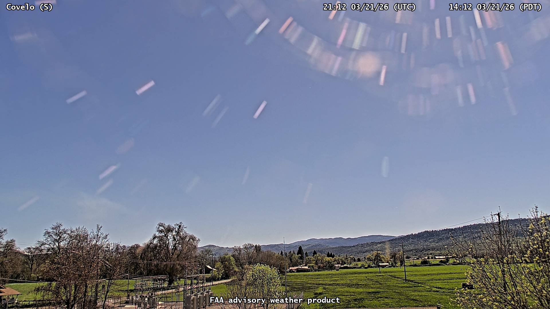
FAA weather camera at Covelo (N/A). View: South.

FAA weather camera at Covelo (N/A). View: West.
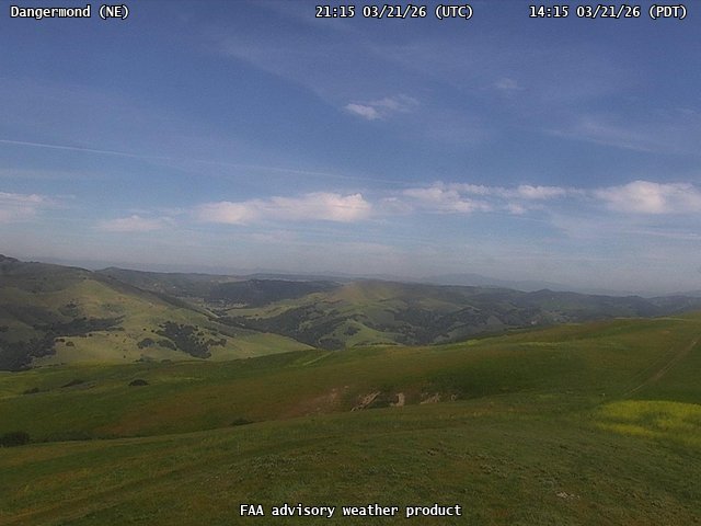
FAA weather camera at Dangermond (N/A). View: NorthEast.

FAA weather camera at Dangermond (N/A). View: NorthWest.

FAA weather camera at Dangermond (N/A). View: SouthEast.

FAA weather camera at Dangermond (N/A). View: West.
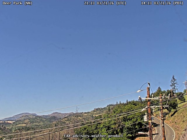
FAA weather camera at Deer Park (N/A). View: NorthWest.
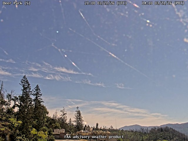
FAA weather camera at Deer Park (N/A). View: South.
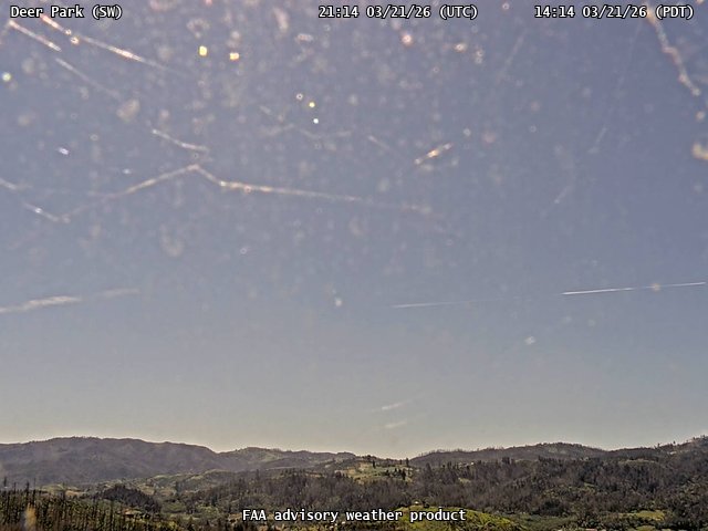
FAA weather camera at Deer Park (N/A). View: SouthWest.
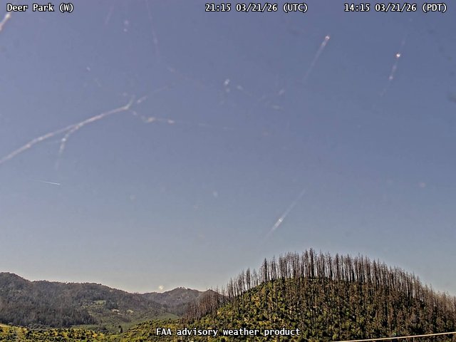
FAA weather camera at Deer Park (N/A). View: West.
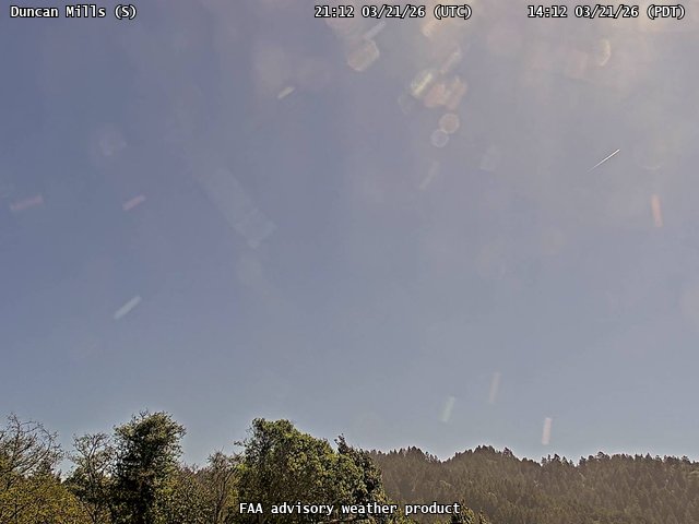
FAA weather camera at Duncan Mills (N/A). View: South.
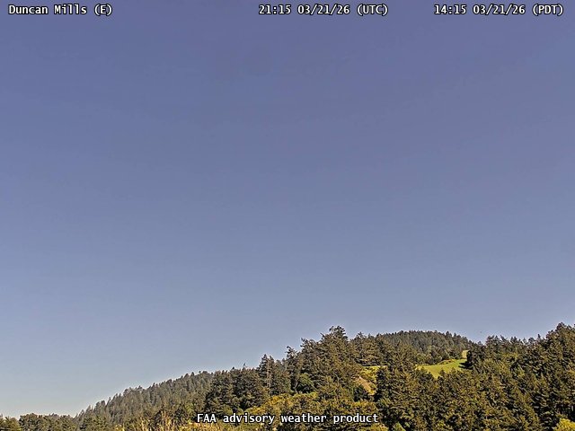
FAA weather camera at Duncan Mills (N/A). View: East.

FAA weather camera at Duncan Mills (N/A). View: SouthWest.
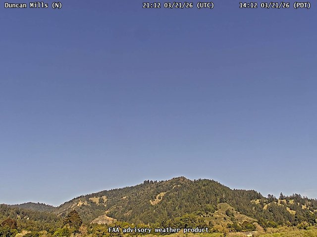
FAA weather camera at Duncan Mills (N/A). View: North.
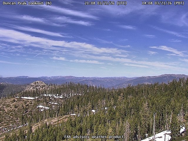
FAA weather camera at Duncan Peak Lookout (N/A). View: North.
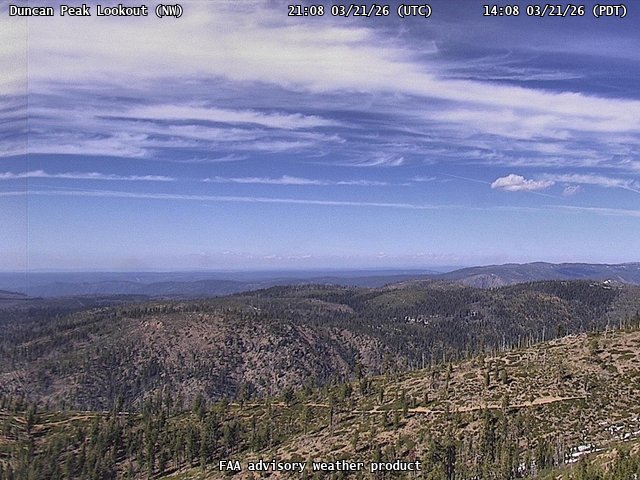
FAA weather camera at Duncan Peak Lookout (N/A). View: NorthWest.
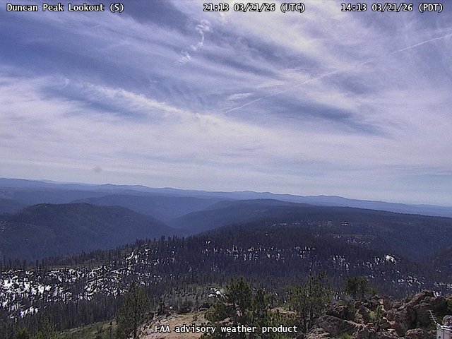
FAA weather camera at Duncan Peak Lookout (N/A). View: South.
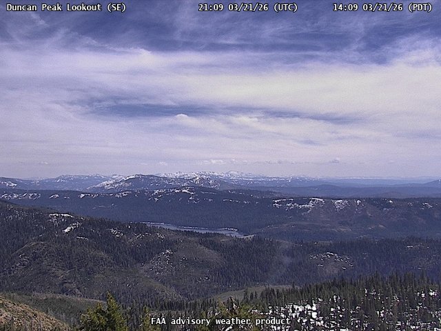
FAA weather camera at Duncan Peak Lookout (N/A). View: SouthEast.
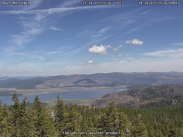
FAA weather camera at Dyer Mtn (N/A). View: NorthEast.
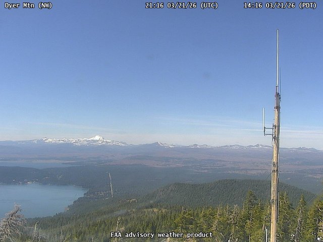
FAA weather camera at Dyer Mtn (N/A). View: NorthWest.
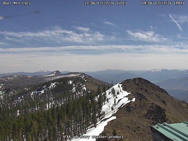
FAA weather camera at Dyer Mtn (N/A). View: SouthEast.
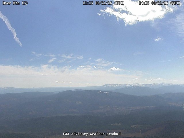
FAA weather camera at Dyer Mtn (N/A). View: South.
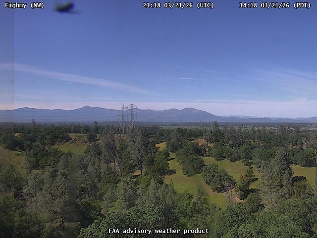
FAA weather camera at Eighmy (N/A). View: NorthWest.
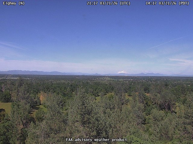
FAA weather camera at Eighmy (N/A). View: North.
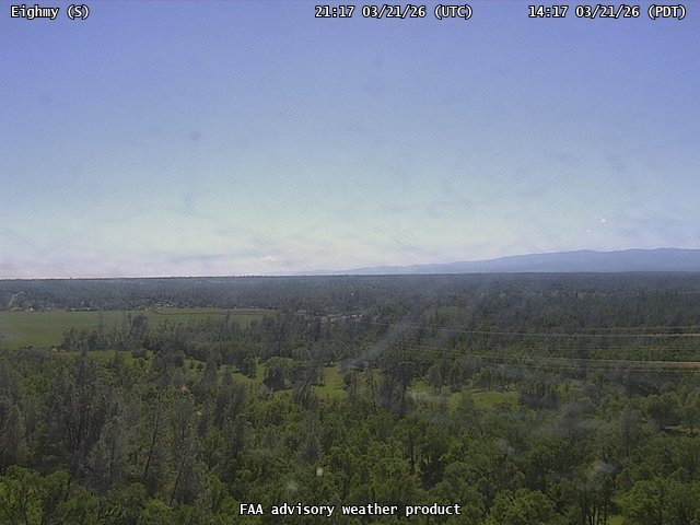
FAA weather camera at Eighmy (N/A). View: South.
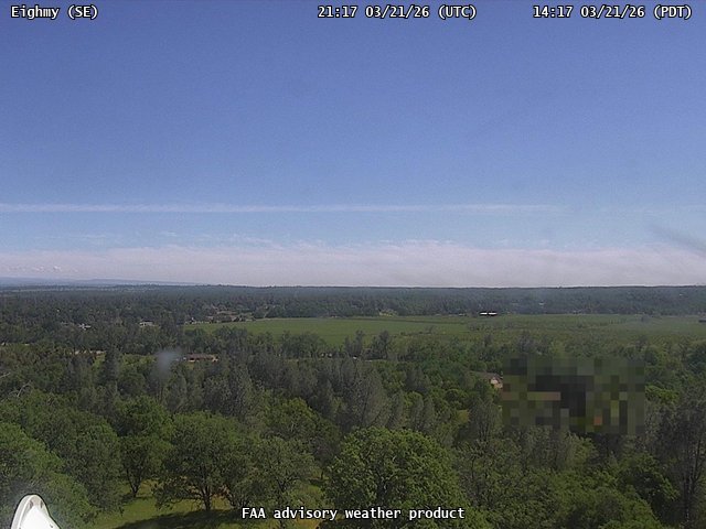
FAA weather camera at Eighmy (N/A). View: SouthEast.
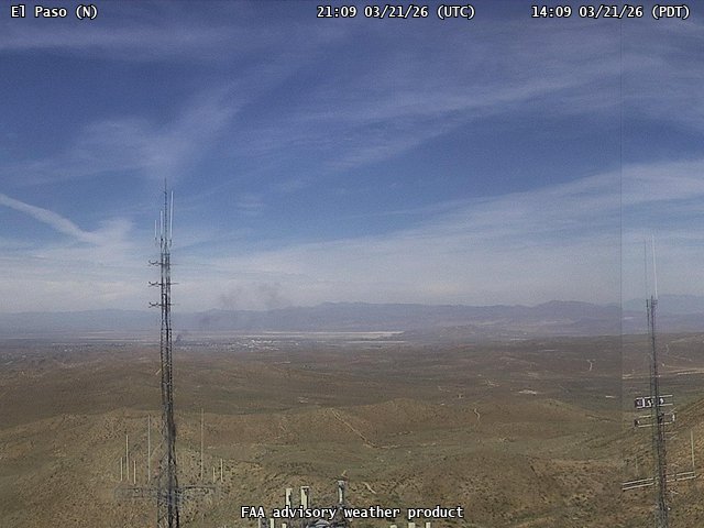
FAA weather camera at El Paso (N/A). View: North.
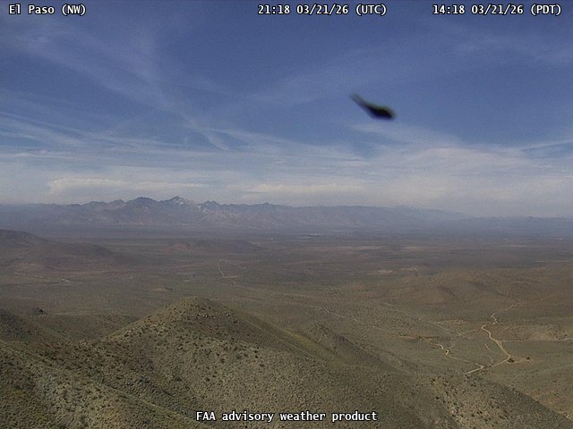
FAA weather camera at El Paso (N/A). View: NorthWest.
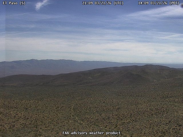
FAA weather camera at El Paso (N/A). View: South.
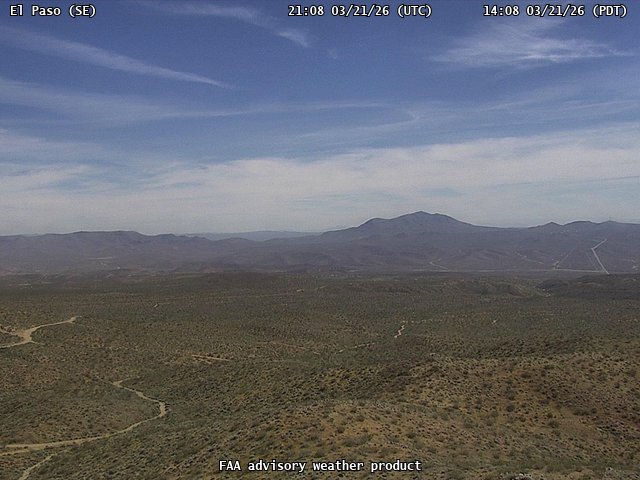
FAA weather camera at El Paso (N/A). View: SouthEast.
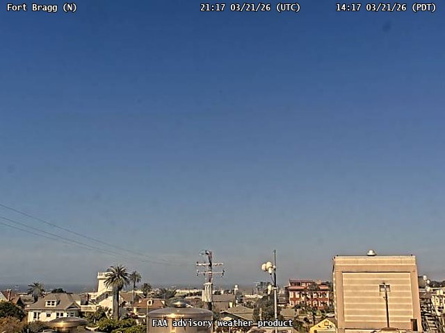
FAA weather camera at Fort Bragg (N/A). View: North.
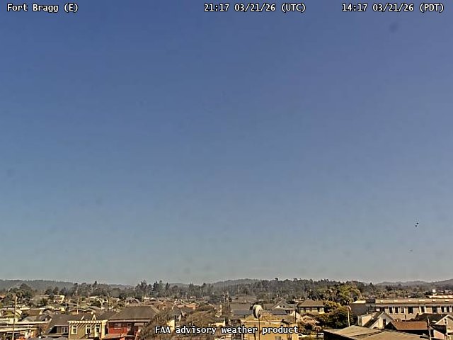
FAA weather camera at Fort Bragg (N/A). View: East.
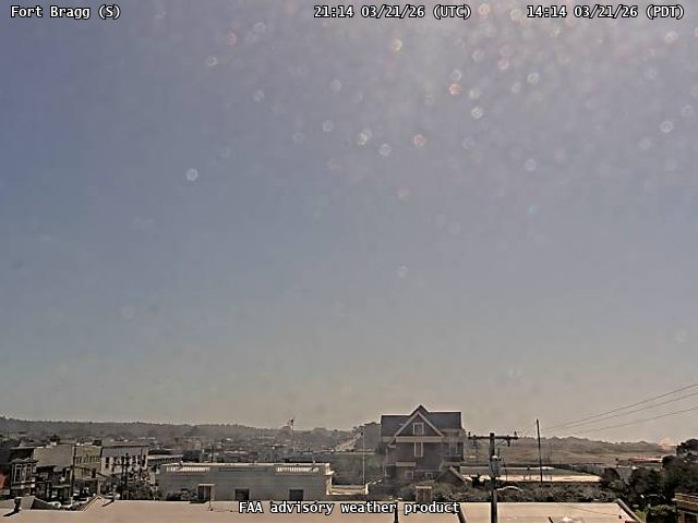
FAA weather camera at Fort Bragg (N/A). View: South.
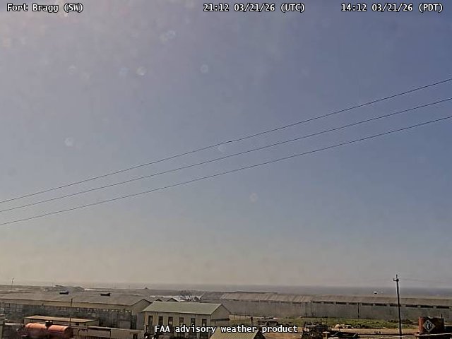
FAA weather camera at Fort Bragg (N/A). View: SouthWest.
FAA weather camera at Fort Jones (N/A). View: NorthEast.
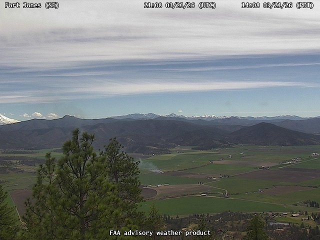
FAA weather camera at Fort Jones (N/A). View: SouthEast.
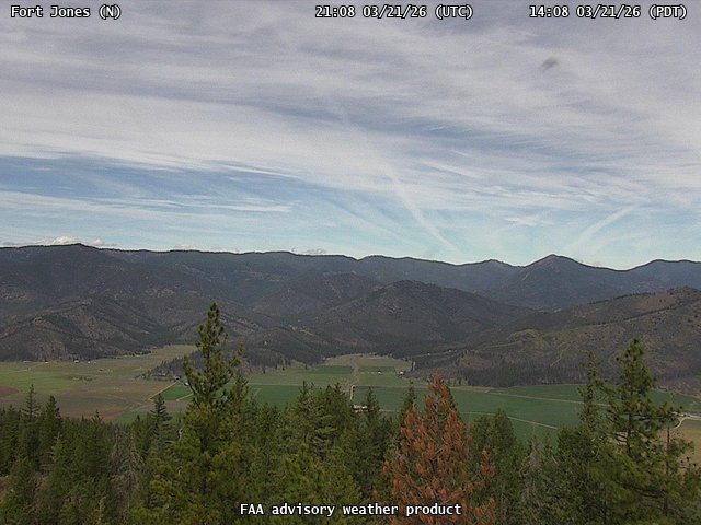
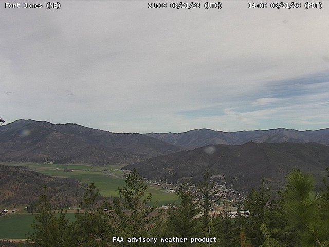
FAA weather camera at Fort Jones (N/A). View: North.
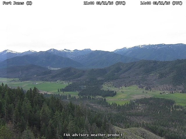
FAA weather camera at Fort Jones (N/A). View: West.

FAA weather camera at Garberville Airport (N/A). View: South.
FAA weather camera at Garberville Airport (N/A). View: North.
FAA weather camera at Garberville Airport (N/A). View: SouthEast.
FAA weather camera at Garberville Airport (N/A). View: West.
FAA weather camera at Gillespie Field (N/A). View: East.
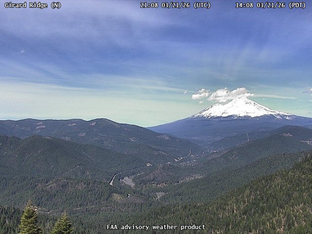
FAA weather camera at Girard Ridge (N/A). View: North.
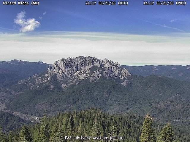
FAA weather camera at Girard Ridge (N/A). View: NorthWest.
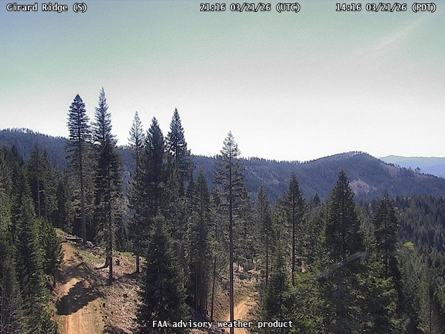
FAA weather camera at Girard Ridge (N/A). View: South.
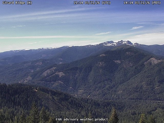
FAA weather camera at Girard Ridge (N/A). View: West.

FAA weather camera at Halls Ridge (N/A). View: North.
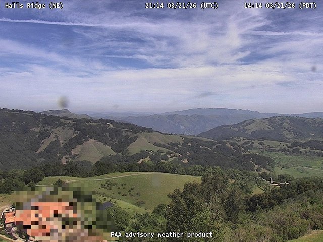
FAA weather camera at Halls Ridge (N/A). View: NorthEast.
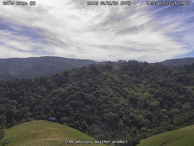
FAA weather camera at Halls Ridge (N/A). View: South.

FAA weather camera at Halls Ridge (N/A). View: SouthEast.
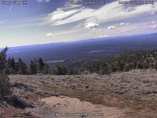
FAA weather camera at Happy Camp (N/A). View: West.
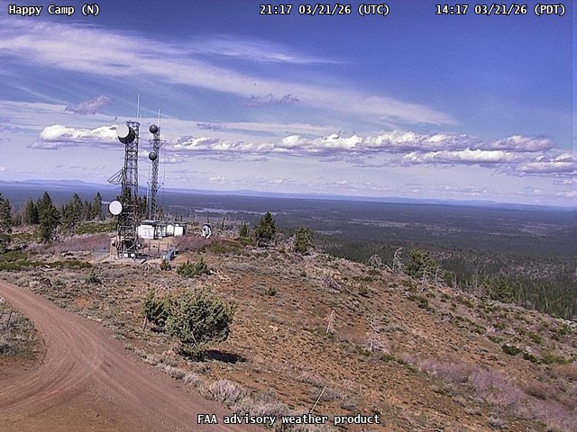
FAA weather camera at Happy Camp (N/A). View: North.
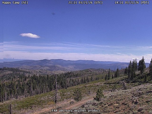
FAA weather camera at Happy Camp (N/A). View: SouthEast.
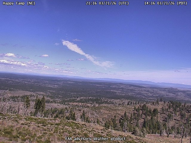
FAA weather camera at Happy Camp (N/A). View: NorthEast.
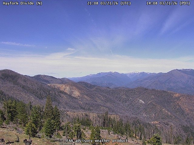
FAA weather camera at Hayfork Divide (N/A). View: North.
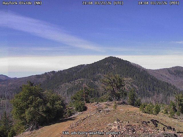
FAA weather camera at Hayfork Divide (N/A). View: NorthWest.
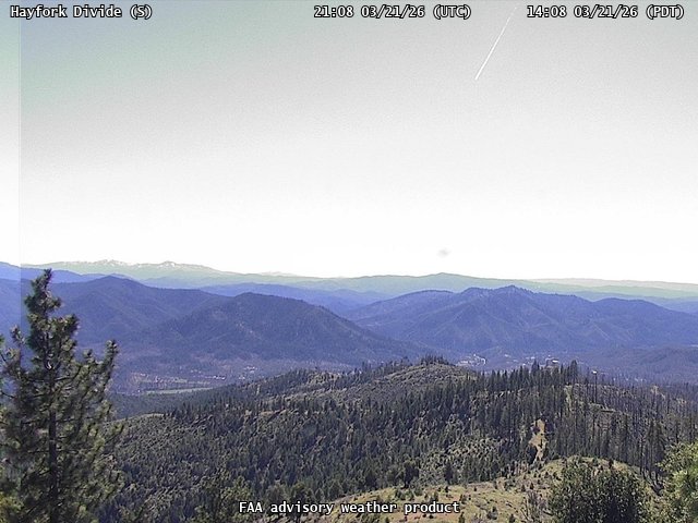
FAA weather camera at Hayfork Divide (N/A). View: South.
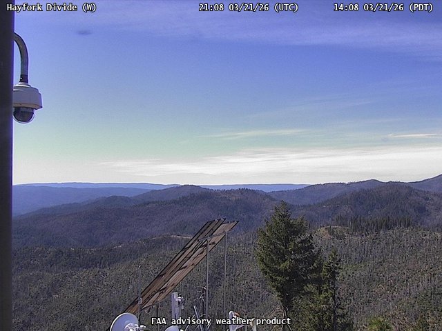
FAA weather camera at Hayfork Divide (N/A). View: West.
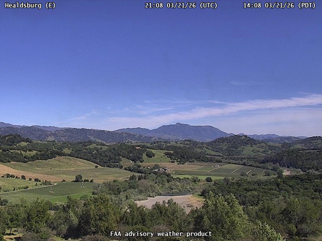
FAA weather camera at Healdsburg (N/A). View: East.
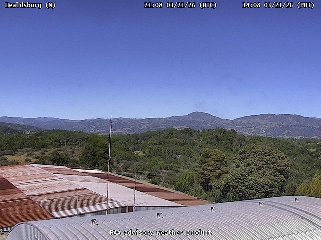
FAA weather camera at Healdsburg (N/A). View: North.
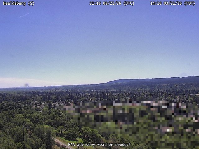
FAA weather camera at Healdsburg (N/A). View: South.
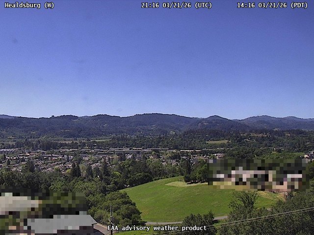
FAA weather camera at Healdsburg (N/A). View: West.
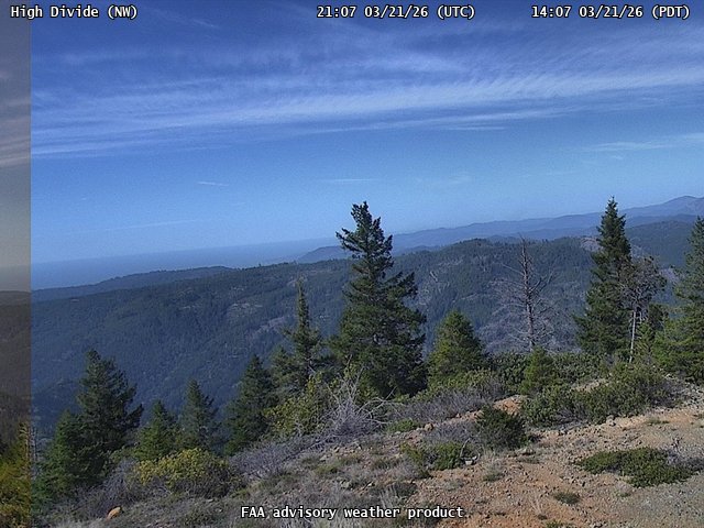
FAA weather camera at High Divide (N/A). View: NorthWest.
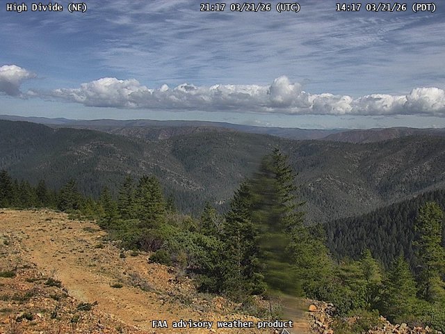
FAA weather camera at High Divide (N/A). View: NorthEast.
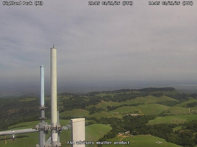
FAA weather camera at Highland Peak (N/A). View: NorthEast.
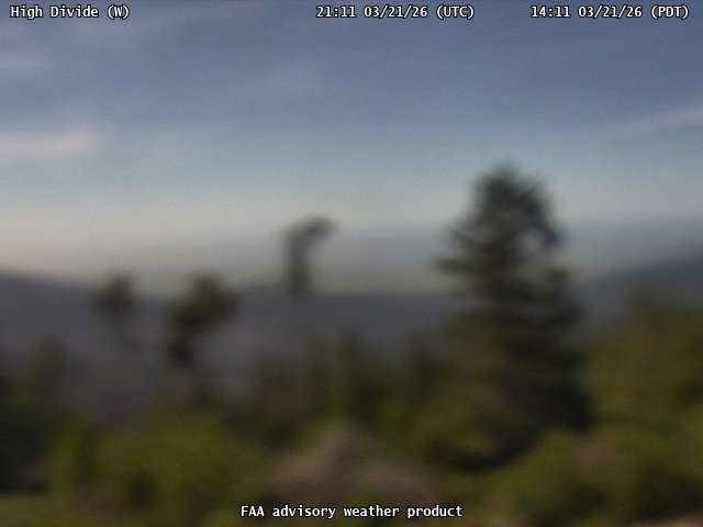
FAA weather camera at High Divide (N/A). View: West.
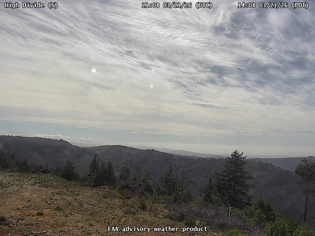
FAA weather camera at High Divide (N/A). View: South.
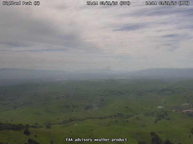
FAA weather camera at Highland Peak (N/A). View: South.
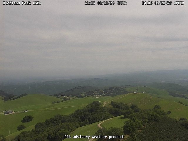
FAA weather camera at Highland Peak (N/A). View: SouthEast.
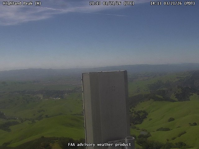
FAA weather camera at Highland Peak (N/A). View: West.
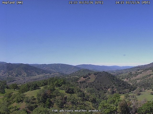
FAA weather camera at Hopland (N/A). View: NorthWest.
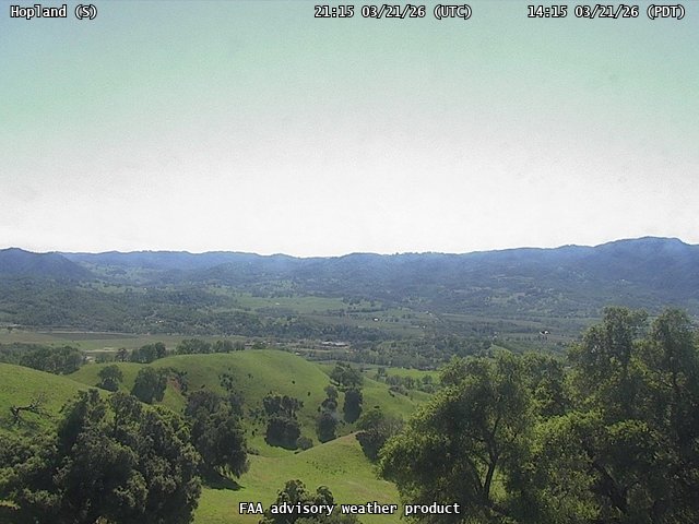
FAA weather camera at Hopland (N/A). View: South.
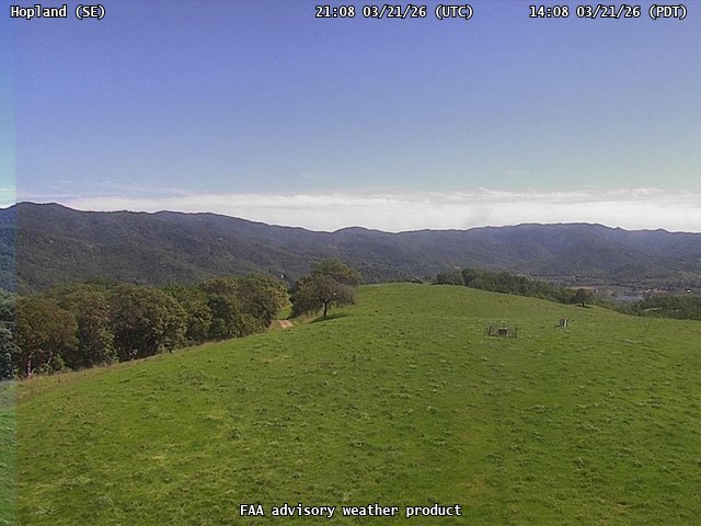
FAA weather camera at Hopland (N/A). View: SouthEast.
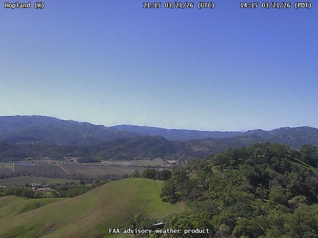
FAA weather camera at Hopland (N/A). View: West.
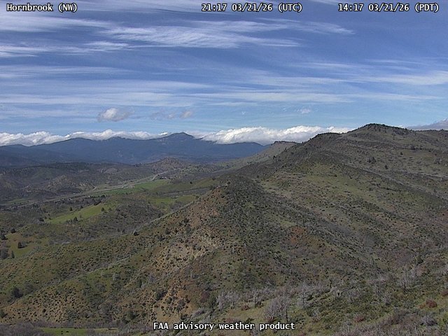
FAA weather camera at Hornbrook (N/A). View: NorthWest.
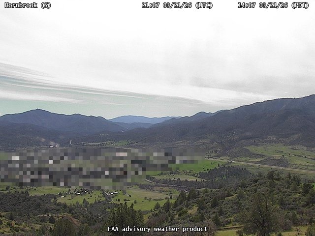
FAA weather camera at Hornbrook (N/A). View: South.
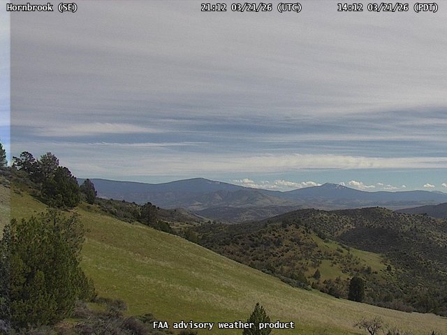
FAA weather camera at Hornbrook (N/A). View: SouthEast.
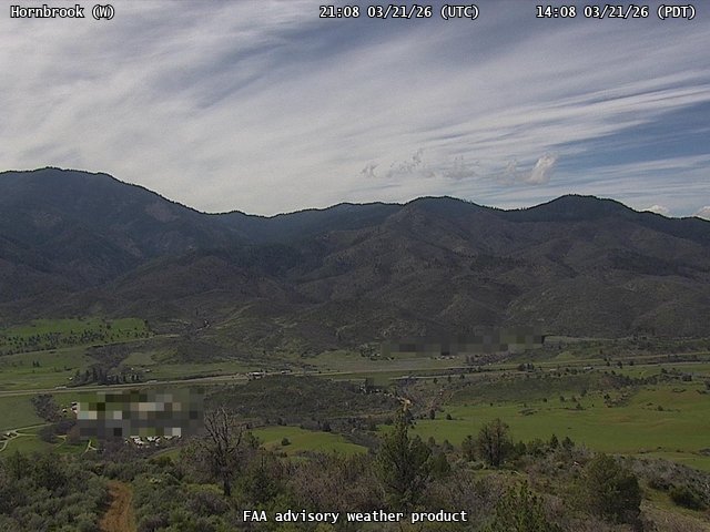
FAA weather camera at Hornbrook (N/A). View: West.
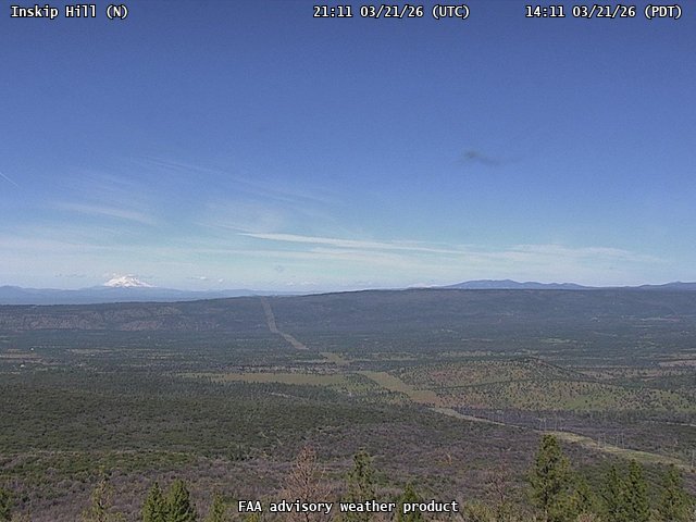
FAA weather camera at Inskip Hill (N/A). View: North.
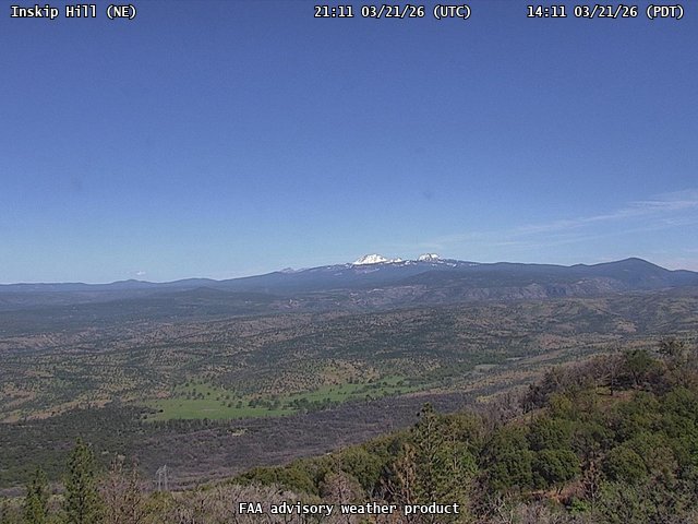
FAA weather camera at Inskip Hill (N/A). View: NorthEast.
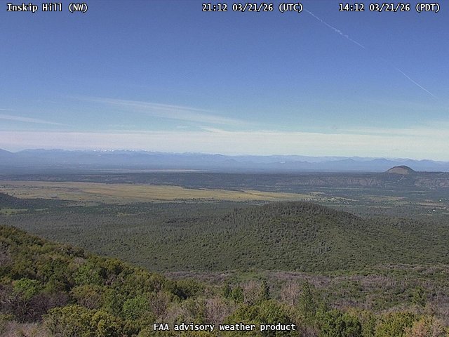
FAA weather camera at Inskip Hill (N/A). View: NorthWest.
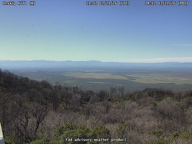
FAA weather camera at Inskip Hill (N/A). View: West.

FAA weather camera at Laguna Peak (N/A). View: NorthEast.
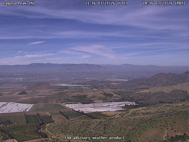
FAA weather camera at Laguna Peak (N/A). View: North.
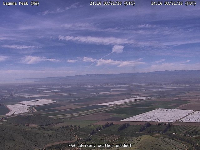
FAA weather camera at Laguna Peak (N/A). View: NorthWest.
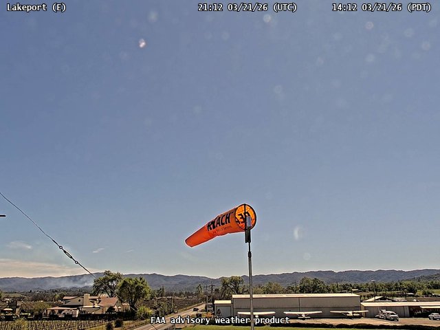
FAA weather camera at Lakeport (102). View: East.
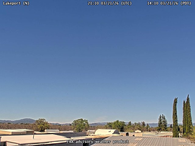
FAA weather camera at Lakeport (102). View: North.
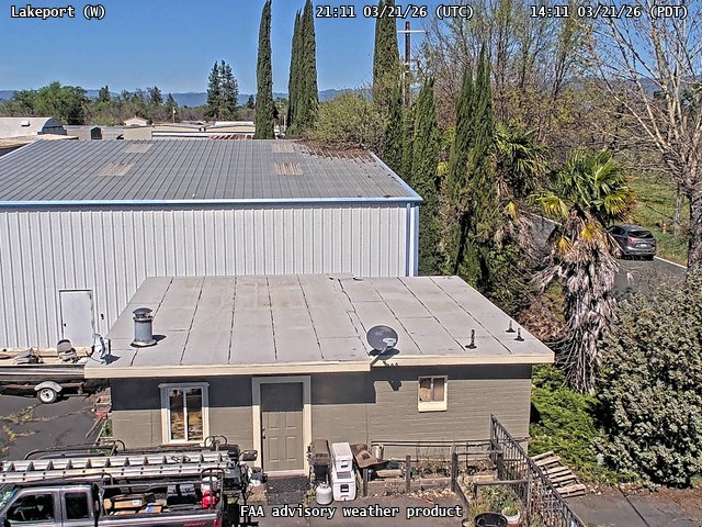
FAA weather camera at Lakeport (102). View: West.
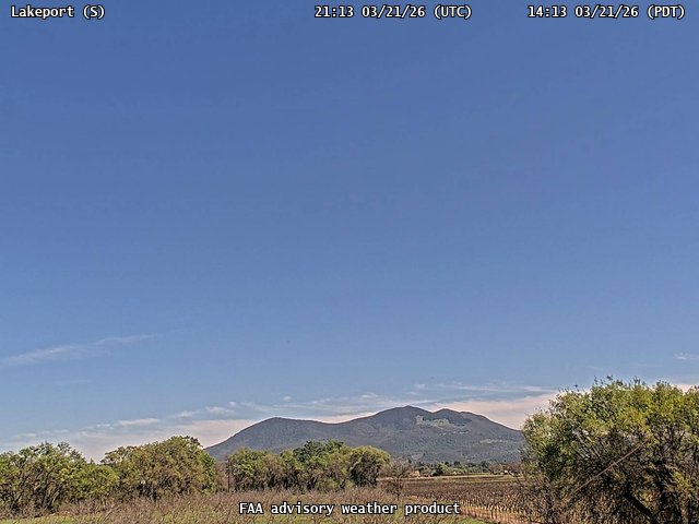
FAA weather camera at Lakeport (102). View: South.
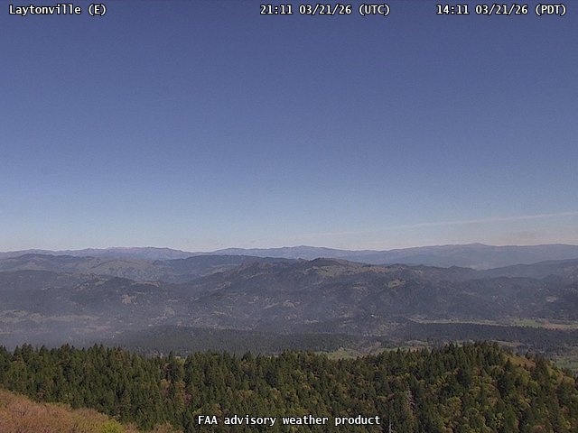
FAA weather camera at Laytonville (N/A). View: East.
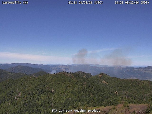
FAA weather camera at Laytonville (N/A). View: North.
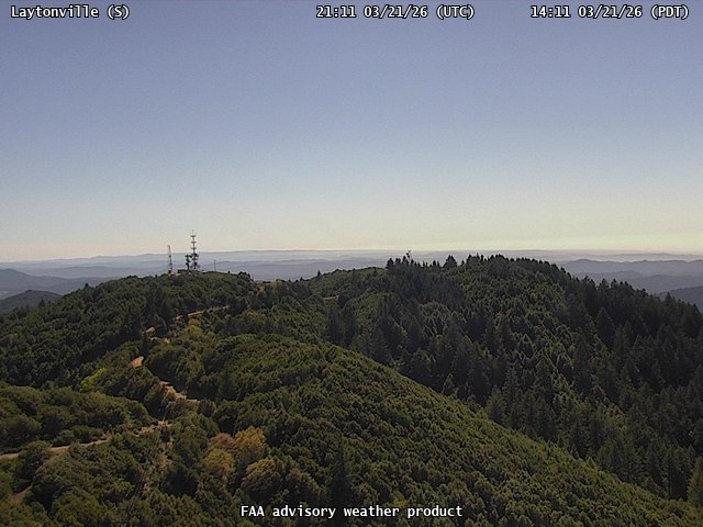
FAA weather camera at Laytonville (N/A). View: South.
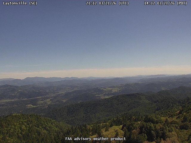
FAA weather camera at Laytonville (N/A). View: SouthEast.
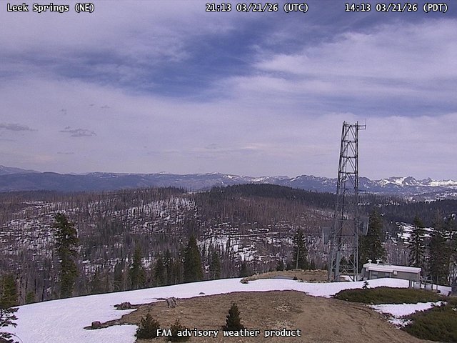
FAA weather camera at Leek Springs (N/A). View: NorthEast.
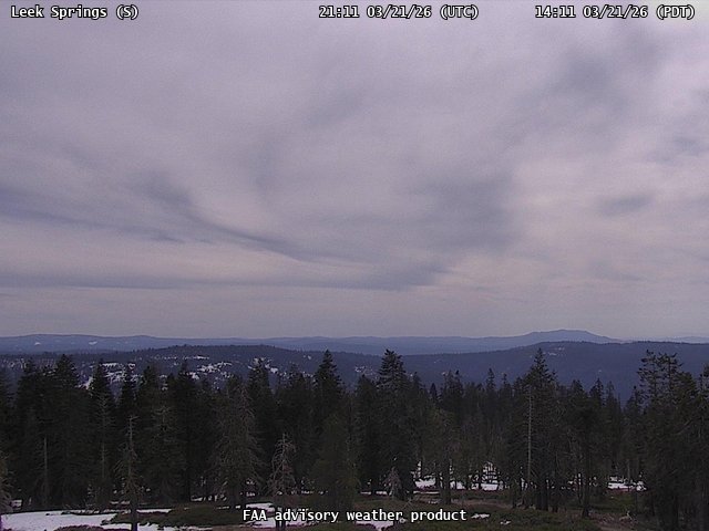
FAA weather camera at Leek Springs (N/A). View: South.
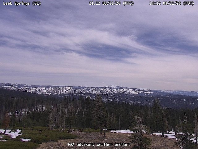
FAA weather camera at Leek Springs (N/A). View: SouthEast.
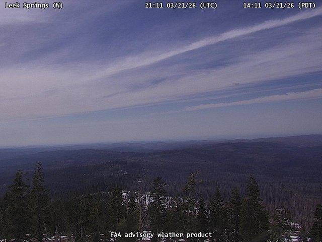
FAA weather camera at Leek Springs (N/A). View: West.
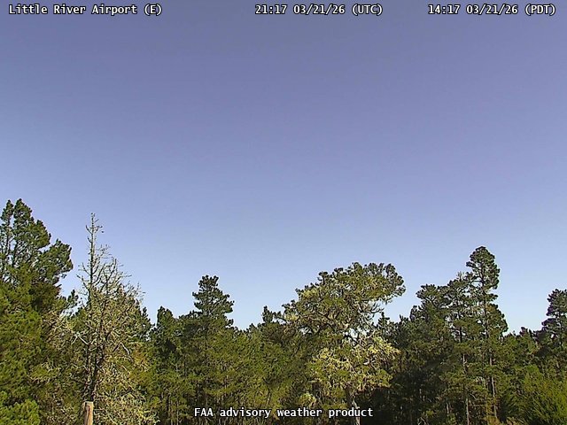
FAA weather camera at Little River Airport (N/A). View: East.
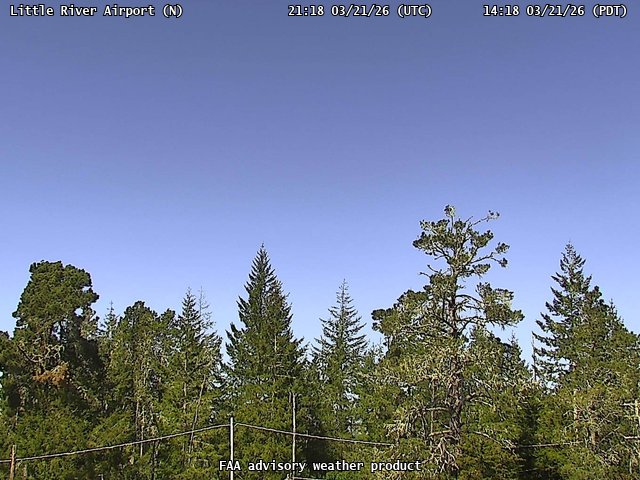
FAA weather camera at Little River Airport (N/A). View: North.
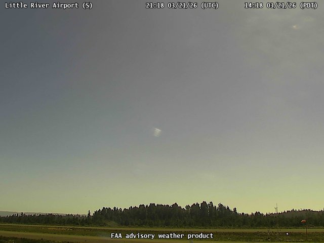
FAA weather camera at Little River Airport (N/A). View: South.
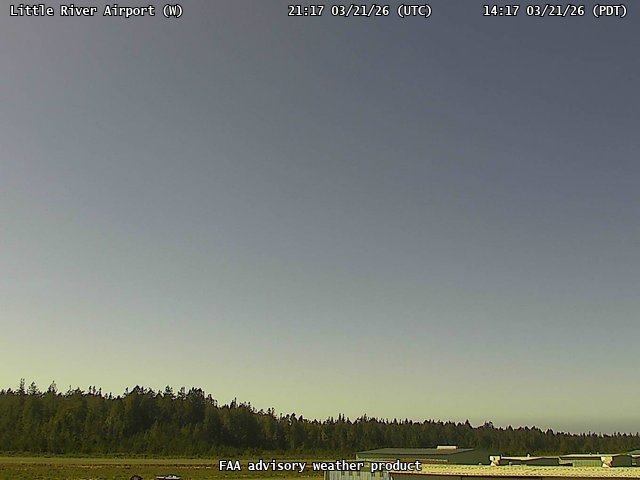
FAA weather camera at Little River Airport (N/A). View: West.
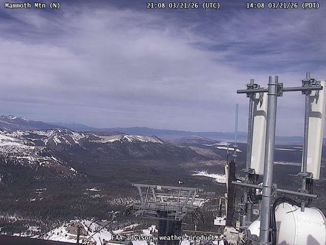
FAA weather camera at Mammoth Mtn (N/A). View: North.
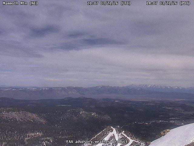
FAA weather camera at Mammoth Mtn (N/A). View: NorthEast.
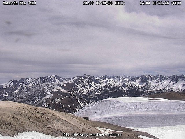
FAA weather camera at Mammoth Mtn (N/A). View: SouthEast.
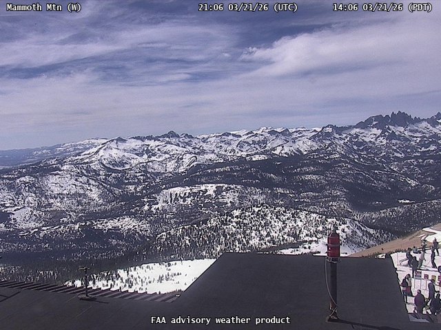
FAA weather camera at Mammoth Mtn (N/A). View: West.

FAA weather camera at Marzano Peak (N/A). View: NorthEast.
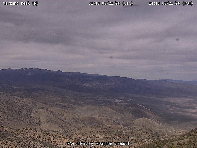
FAA weather camera at Marzano Peak (N/A). View: North.
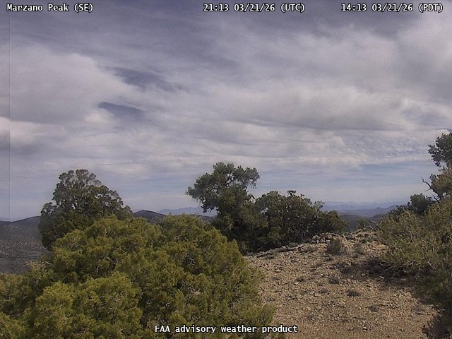
FAA weather camera at Marzano Peak (N/A). View: SouthEast.
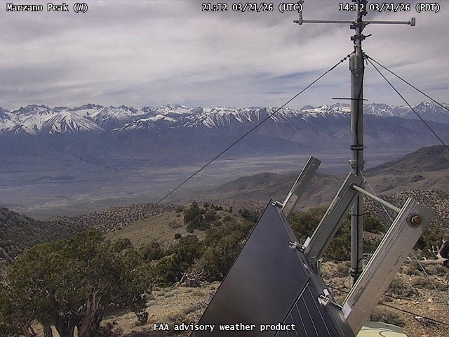
FAA weather camera at Marzano Peak (N/A). View: West.
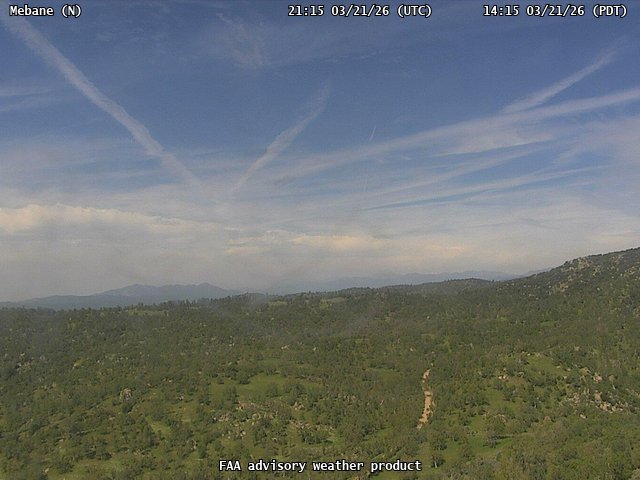
FAA weather camera at Mebane (N/A). View: North.
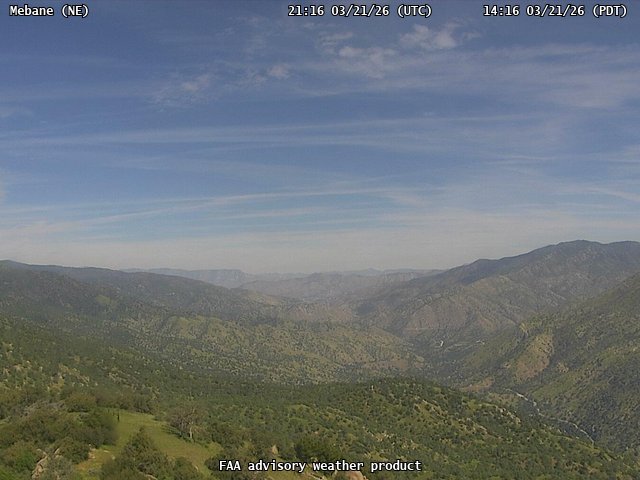
FAA weather camera at Mebane (N/A). View: NorthEast.
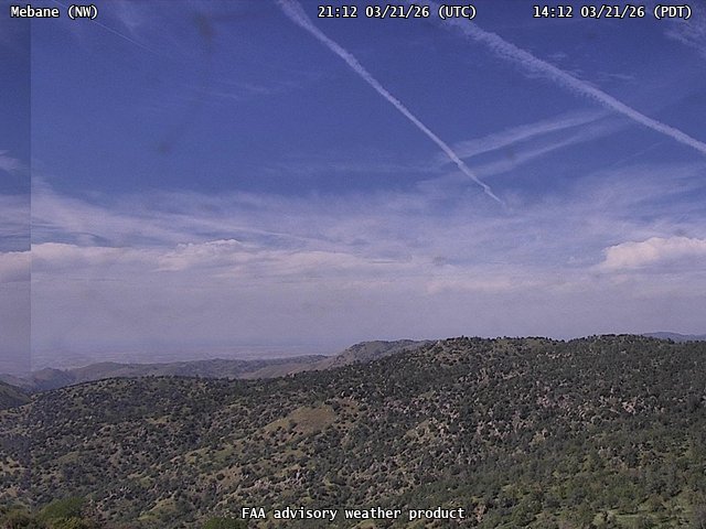
FAA weather camera at Mebane (N/A). View: NorthWest.
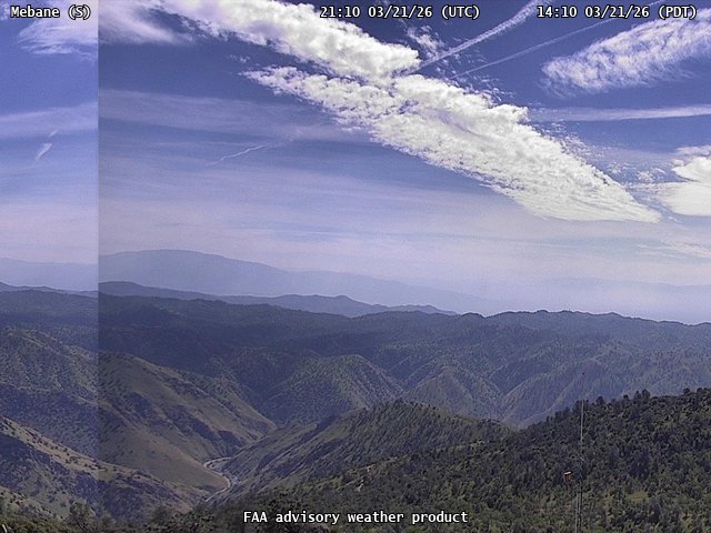
FAA weather camera at Mebane (N/A). View: South.

FAA weather camera at Merrell Rd (N/A). View: North.

FAA weather camera at Merrell Rd (N/A). View: NorthEast.

FAA weather camera at Merrell Rd (N/A). View: NorthWest.

FAA weather camera at Merrell Rd (N/A). View: SouthWest.
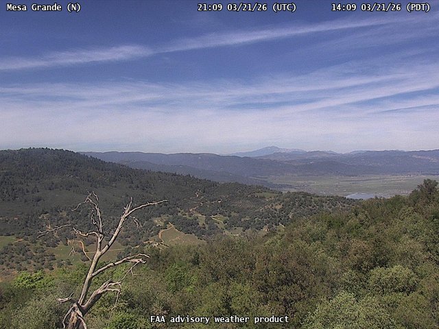
FAA weather camera at Mesa Grande (N/A). View: North.
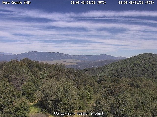
FAA weather camera at Mesa Grande (N/A). View: NorthEast.
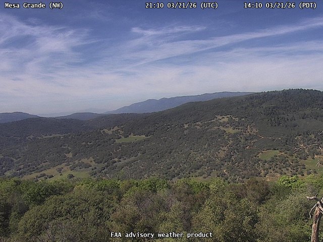
FAA weather camera at Mesa Grande (N/A). View: NorthWest.
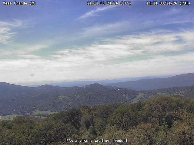
FAA weather camera at Mesa Grande (N/A). View: West.
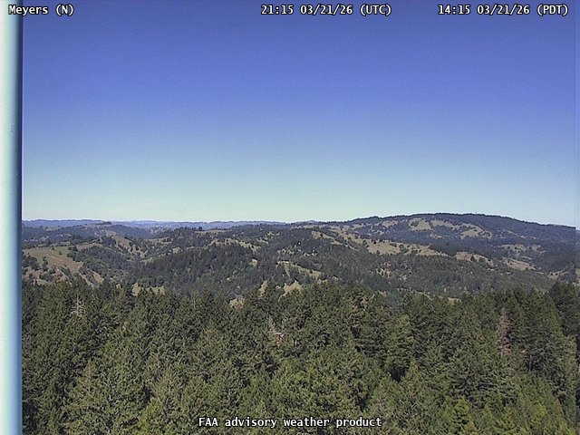
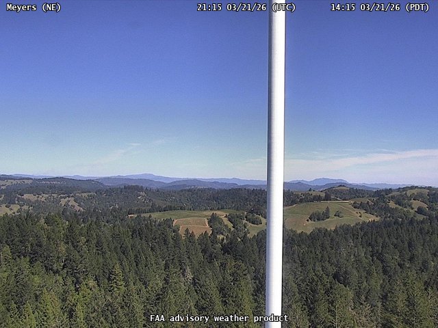
FAA weather camera at Meyers (N/A). View: North.
FAA weather camera at Meyers (N/A). View: NorthEast.
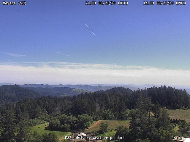
FAA weather camera at Meyers (N/A). View: SouthEast.
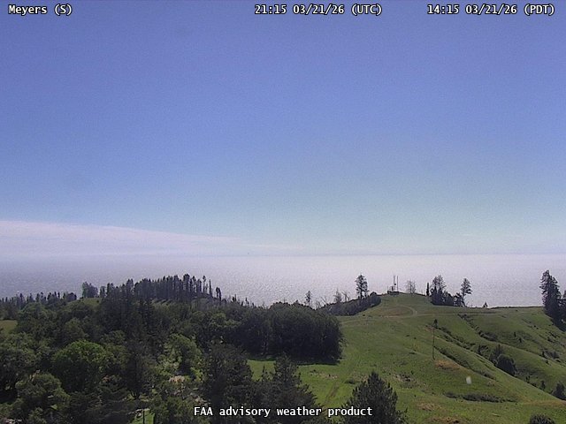
FAA weather camera at Meyers (N/A). View: South.
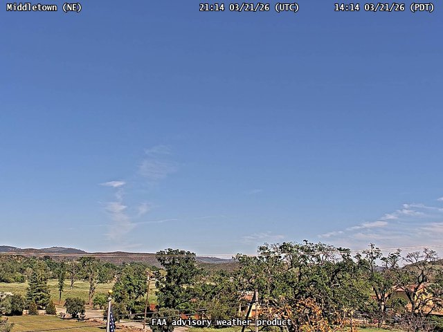
FAA weather camera at Middletown (N/A). View: NorthEast.
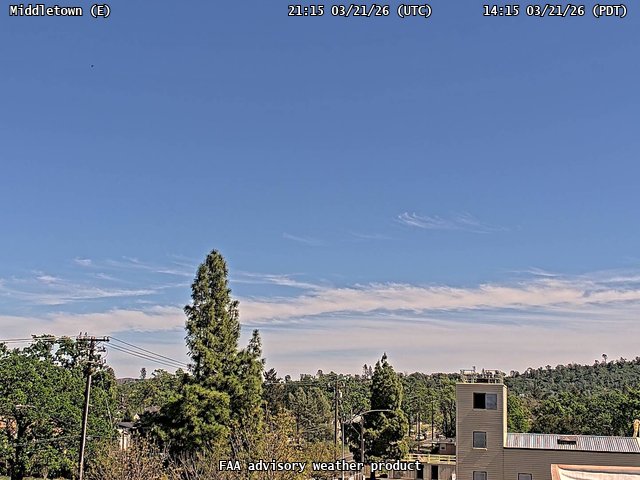
FAA weather camera at Middletown (N/A). View: East.
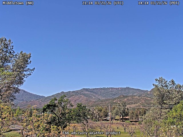
FAA weather camera at Middletown (N/A). View: NorthWest.
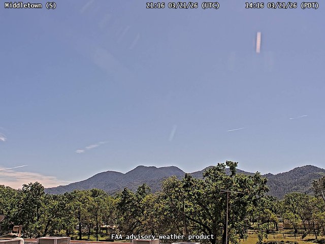
FAA weather camera at Middletown (N/A). View: South.
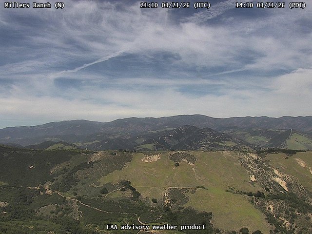
FAA weather camera at Millers Ranch (N/A). View: North.

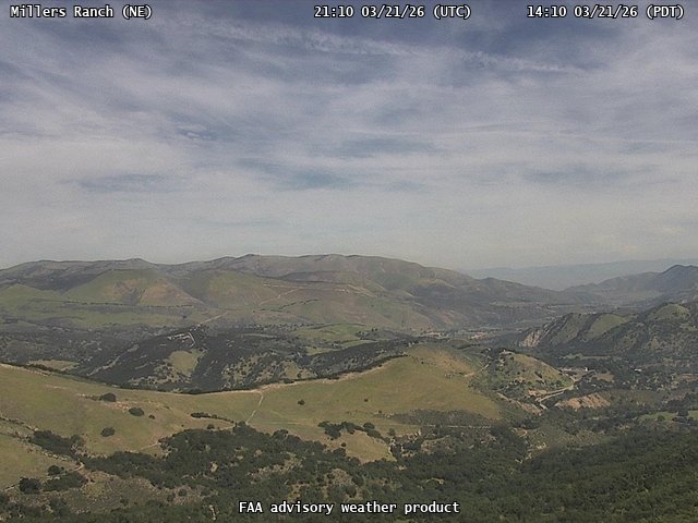
FAA weather camera at Millers Ranch (N/A). View: NorthWest.
FAA weather camera at Millers Ranch (N/A). View: NorthEast.
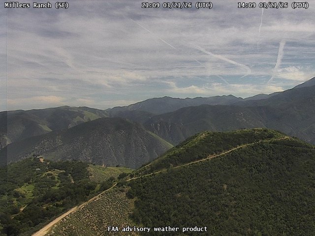
FAA weather camera at Millers Ranch (N/A). View: SouthEast.
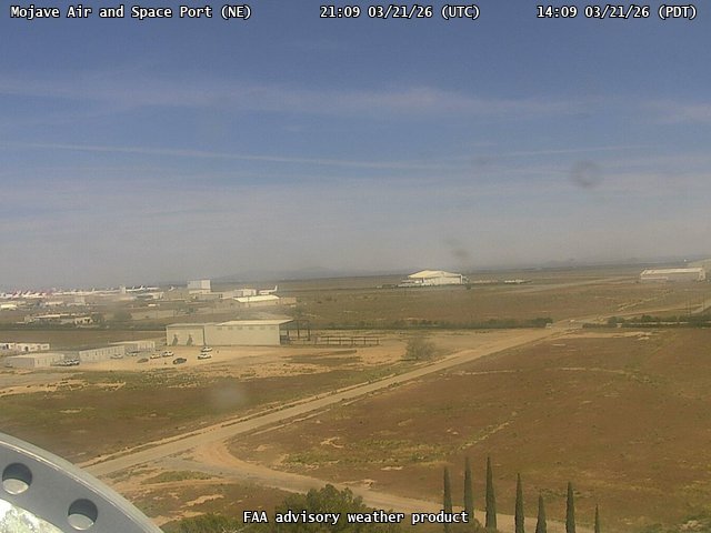
FAA weather camera at Mojave Air and Space Port (N/A). View: NorthEast.
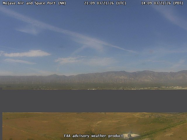
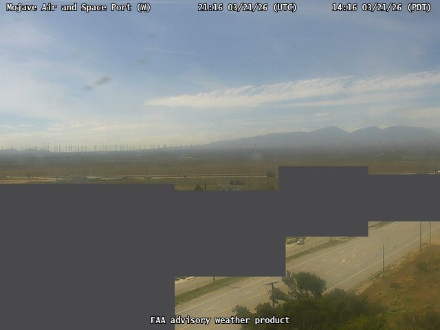
FAA weather camera at Mojave Air and Space Port (N/A). View: NorthWest.
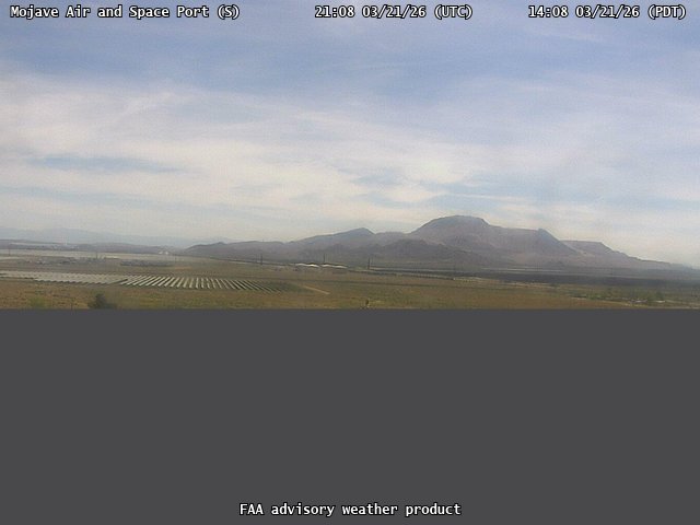
FAA weather camera at Mojave Air and Space Port (N/A). View: South.
FAA weather camera at Mojave Air and Space Port (N/A). View: West.
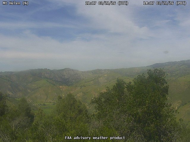
FAA weather camera at Mt Helen (N/A). View: North.
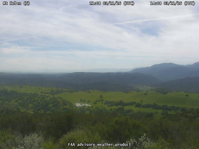
FAA weather camera at Mt Helen (N/A). View: South.
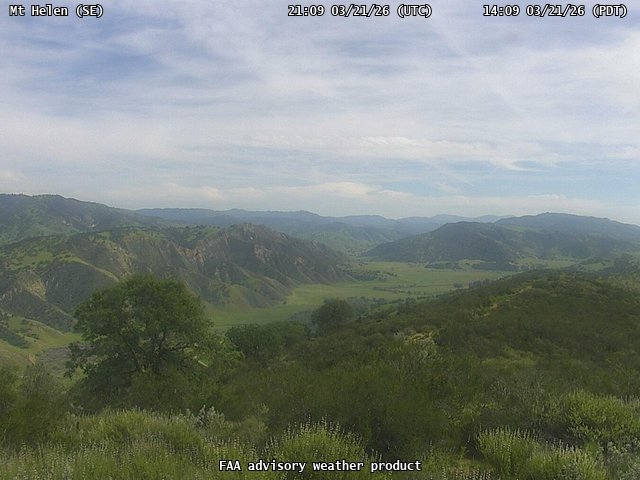
FAA weather camera at Mt Helen (N/A). View: SouthEast.
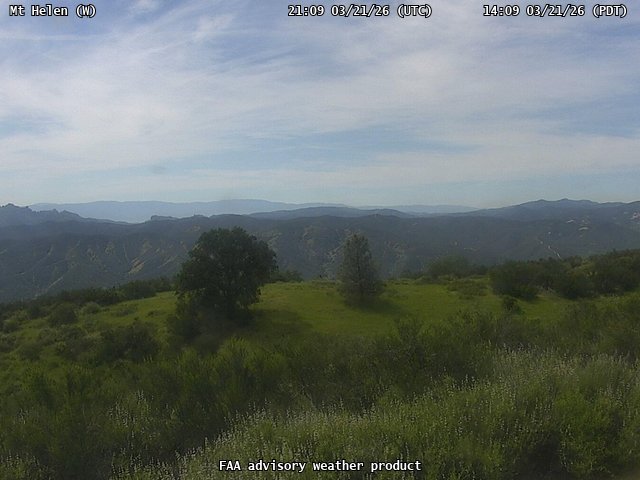
FAA weather camera at Mt Helen (N/A). View: West.
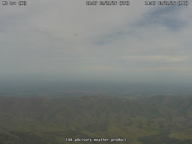
FAA weather camera at Mt Oso (N/A). View: NorthEast.
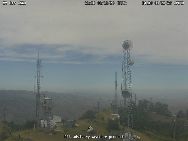
FAA weather camera at Mt Oso (N/A). View: NorthWest.
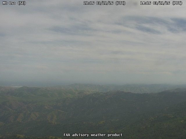
FAA weather camera at Mt Oso (N/A). View: SouthEast.
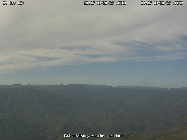
FAA weather camera at Mt Oso (N/A). View: West.
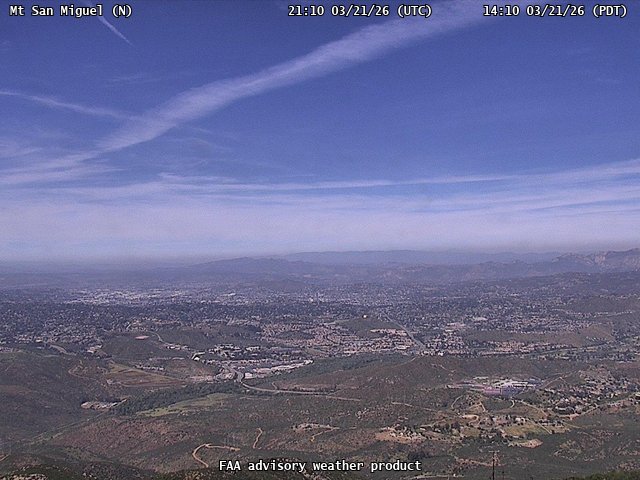
FAA weather camera at Mt San Miguel (N/A). View: North.
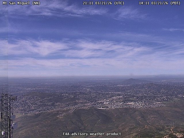
FAA weather camera at Mt San Miguel (N/A). View: NorthWest.
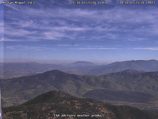
FAA weather camera at Mt San Miguel (N/A). View: SouthEast.
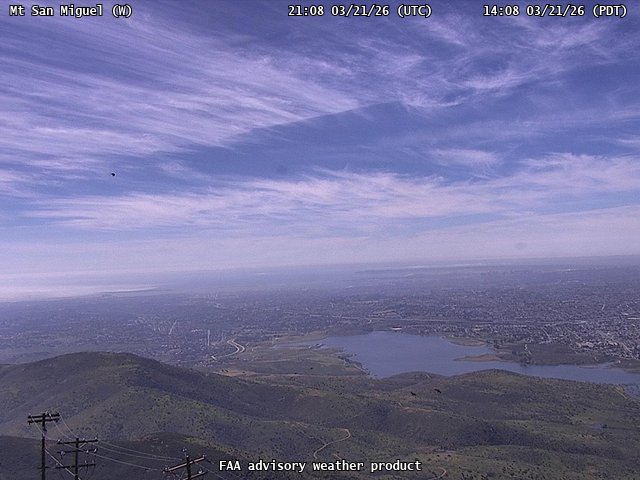
FAA weather camera at Mt San Miguel (N/A). View: West.
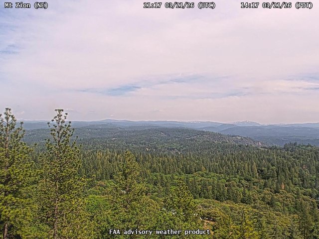
FAA weather camera at Mt Zion (N/A). View: NorthEast.
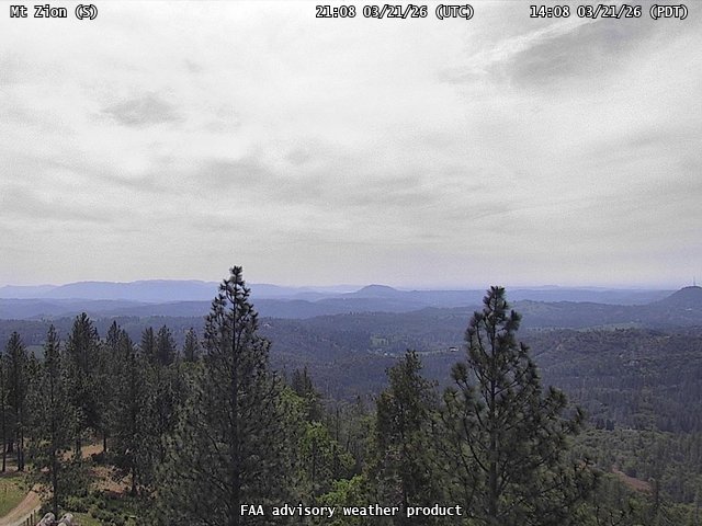
FAA weather camera at Mt Zion (N/A). View: South.
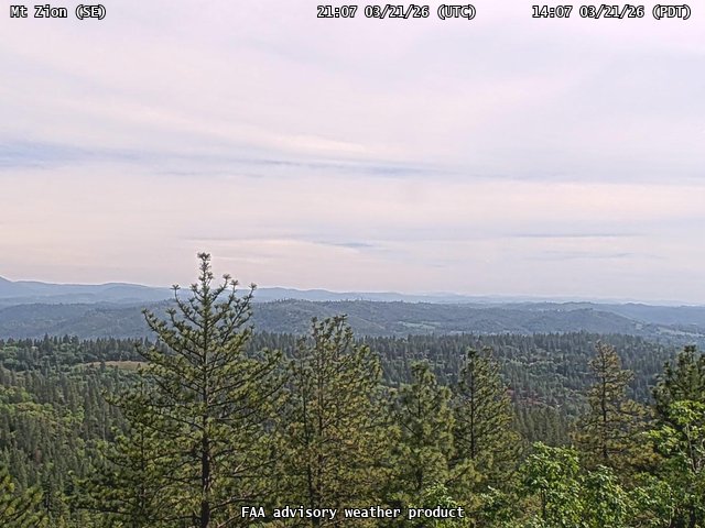
FAA weather camera at Mt Zion (N/A). View: SouthEast.
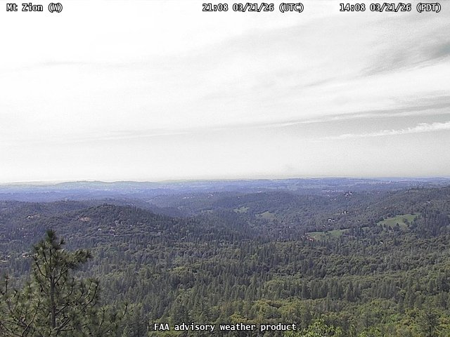
FAA weather camera at Mt Zion (N/A). View: West.
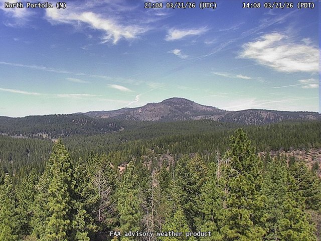
FAA weather camera at North Portola (N/A). View: North.
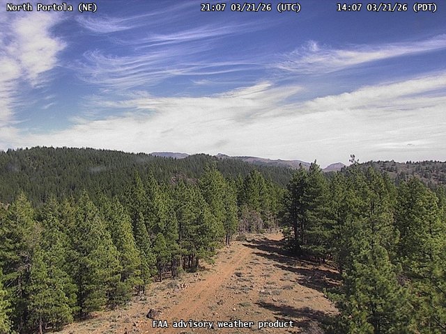
FAA weather camera at North Portola (N/A). View: NorthEast.
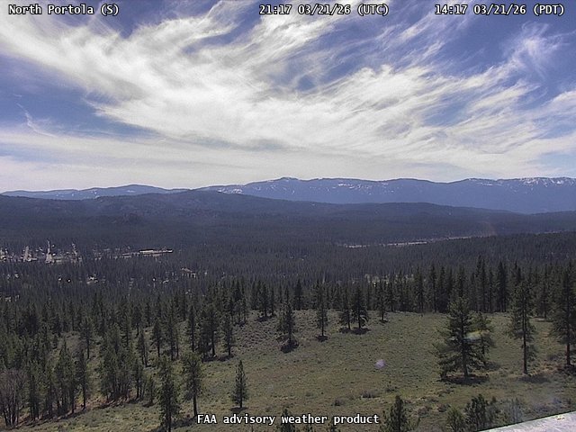
FAA weather camera at North Portola (N/A). View: South.
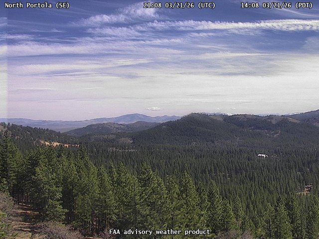
FAA weather camera at North Portola (N/A). View: SouthEast.
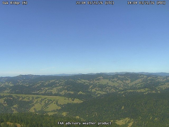
FAA weather camera at Oak Ridge (N/A). View: North.
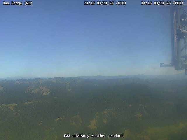
FAA weather camera at Oak Ridge (N/A). View: NorthEast.
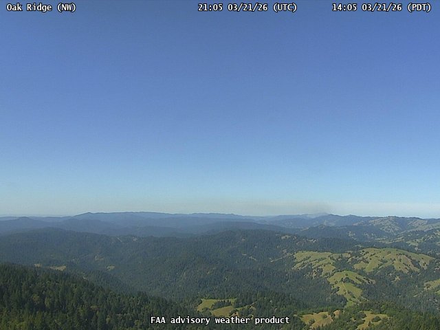
FAA weather camera at Oak Ridge (N/A). View: NorthWest.
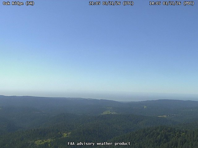
FAA weather camera at Oak Ridge (N/A). View: SouthWest.
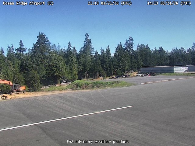
FAA weather camera at Ocean Ridge Airport (E55). View: East.
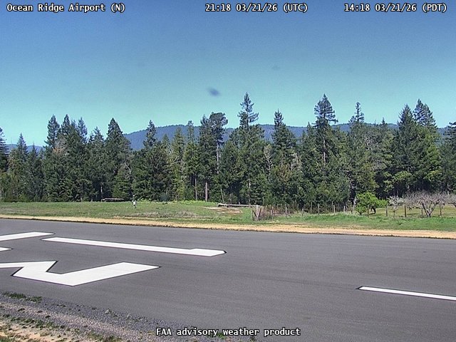
FAA weather camera at Ocean Ridge Airport (E55). View: North.
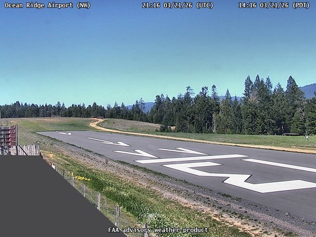
FAA weather camera at Ocean Ridge Airport (E55). View: NorthWest.
FAA weather camera at Ocean Ridge Airport (E55). View: SouthEast.
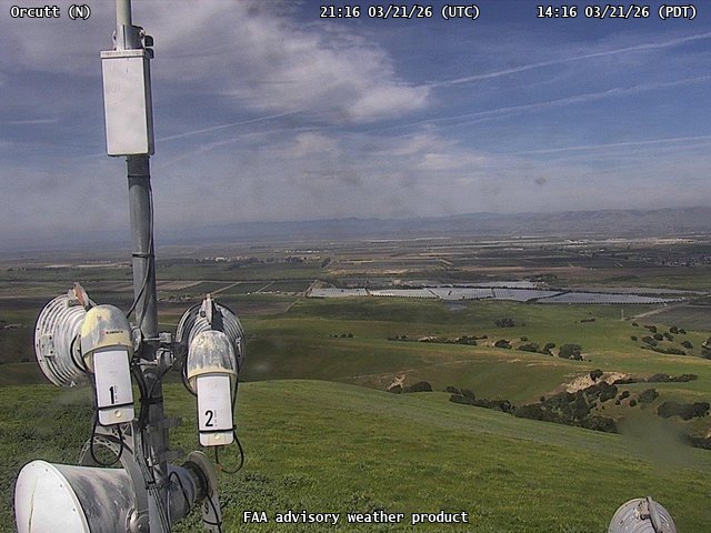
FAA weather camera at Orcutt (N/A). View: North.
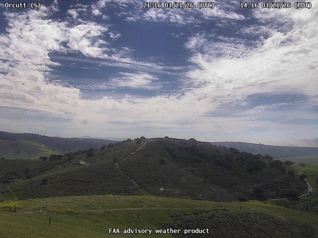
FAA weather camera at Orcutt (N/A). View: South.
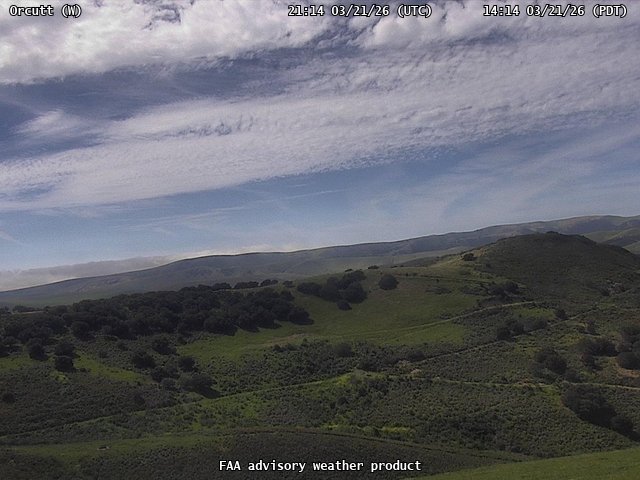
FAA weather camera at Orcutt (N/A). View: West.
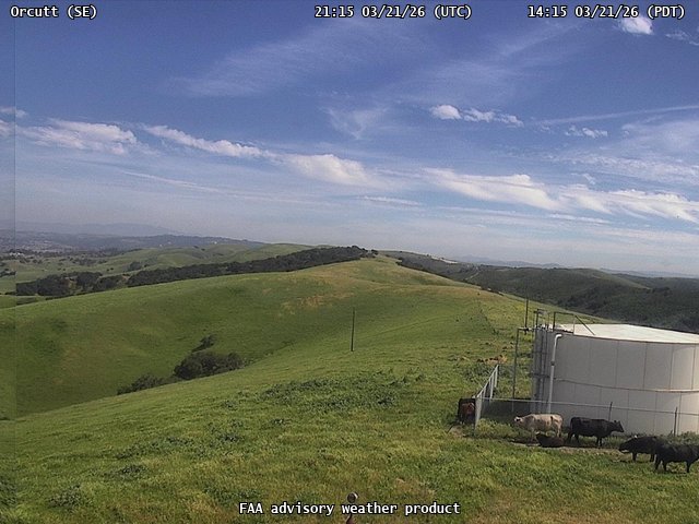
FAA weather camera at Orcutt (N/A). View: SouthEast.
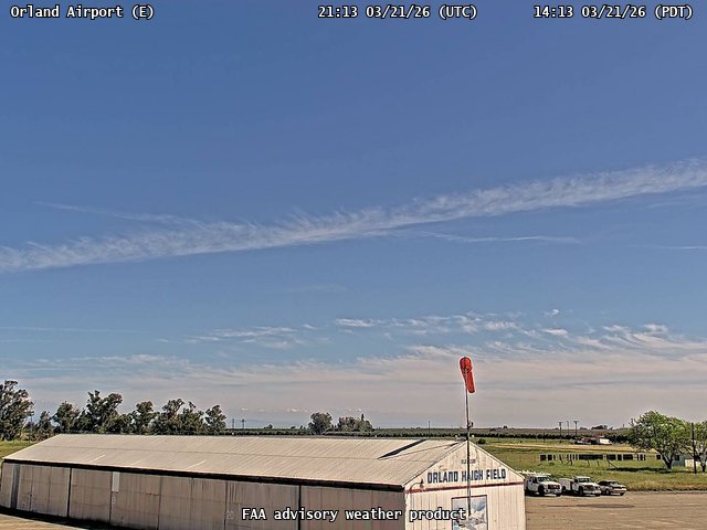
FAA weather camera at Orland Airport (O37). View: East.
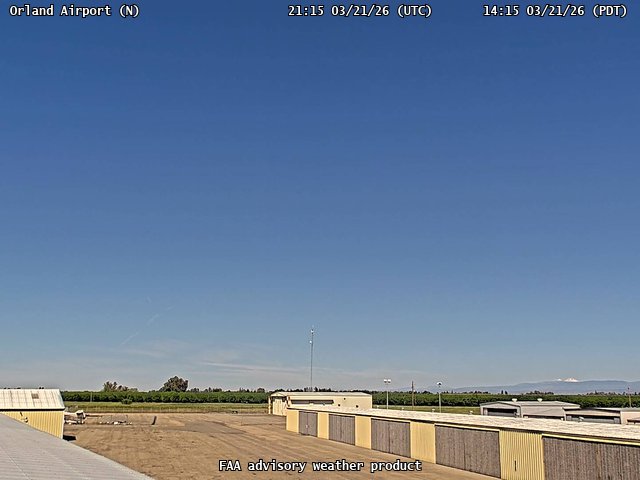
FAA weather camera at Orland Airport (O37). View: North.
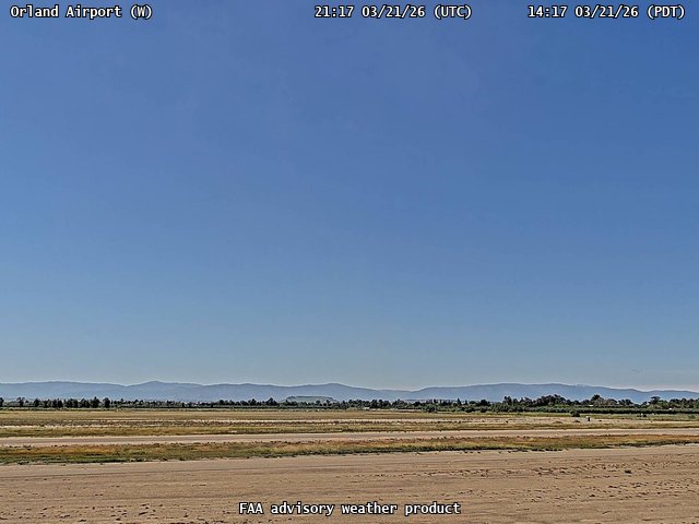
FAA weather camera at Orland Airport (O37). View: West.
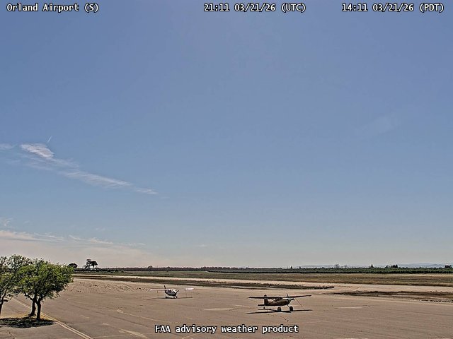
FAA weather camera at Orland Airport (O37). View: South.
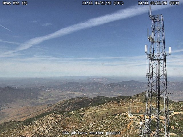
FAA weather camera at Otay Mtn (N/A). View: North.
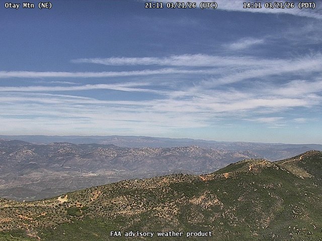
FAA weather camera at Otay Mtn (N/A). View: NorthEast.
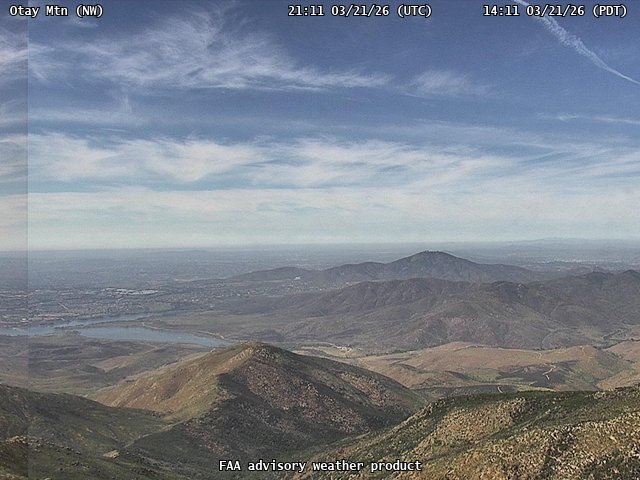
FAA weather camera at Otay Mtn (N/A). View: NorthWest.
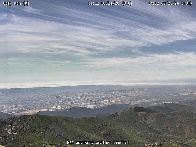
FAA weather camera at Otay Mtn (N/A). View: West.
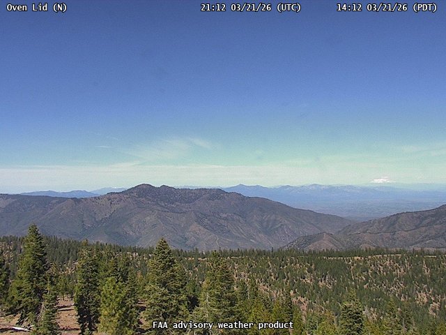
FAA weather camera at Oven Lid (N/A). View: North.
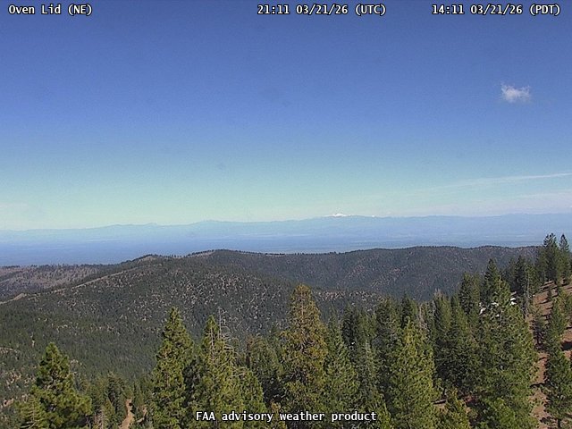
FAA weather camera at Oven Lid (N/A). View: NorthEast.
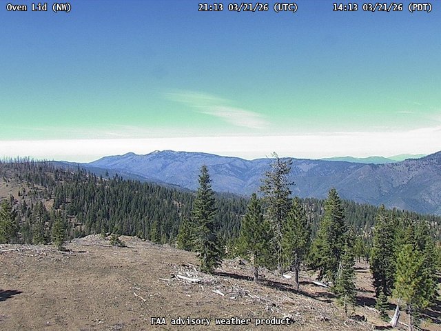
FAA weather camera at Oven Lid (N/A). View: NorthWest.
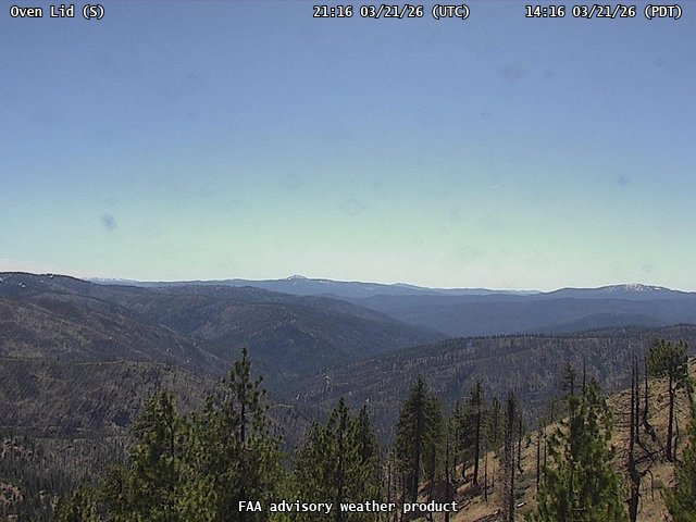
FAA weather camera at Oven Lid (N/A). View: South.
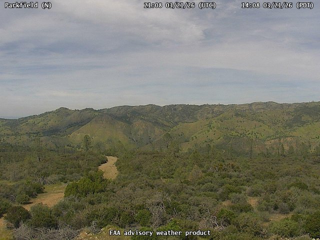
FAA weather camera at Parkfield (N/A). View: North.
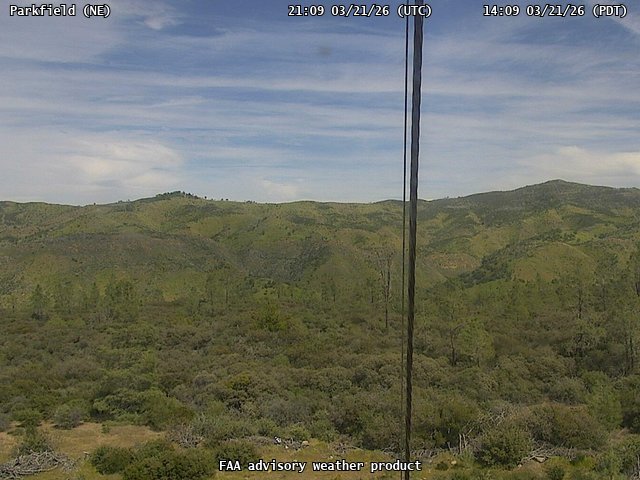
FAA weather camera at Parkfield (N/A). View: NorthEast.
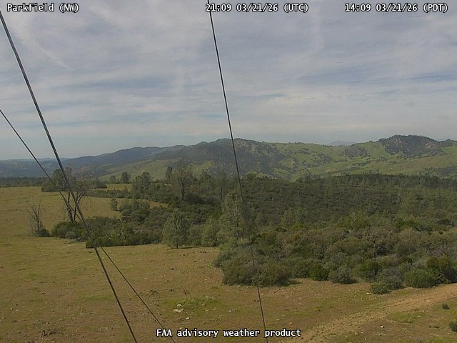
FAA weather camera at Parkfield (N/A). View: NorthWest.
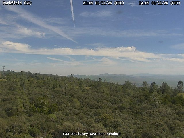
FAA weather camera at Parkfield (N/A). View: SouthEast.
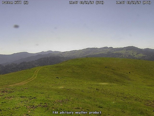
FAA weather camera at Patton Hill (N/A). View: South.
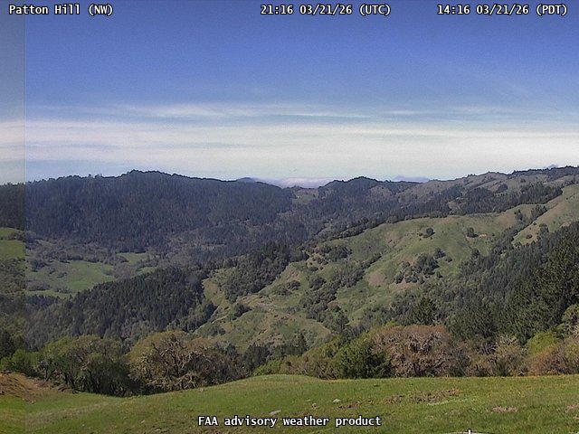
FAA weather camera at Patton Hill (N/A). View: NorthWest.
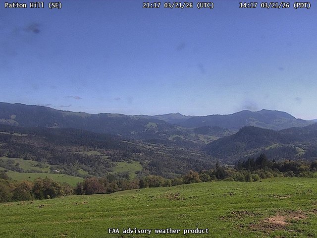
FAA weather camera at Patton Hill (N/A). View: SouthEast.
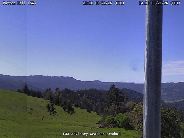
FAA weather camera at Patton Hill (N/A). View: SouthWest.
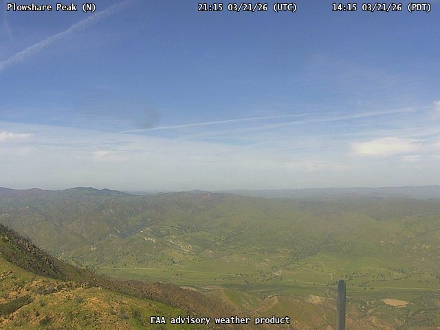
FAA weather camera at Plowshare Peak (N/A). View: North.
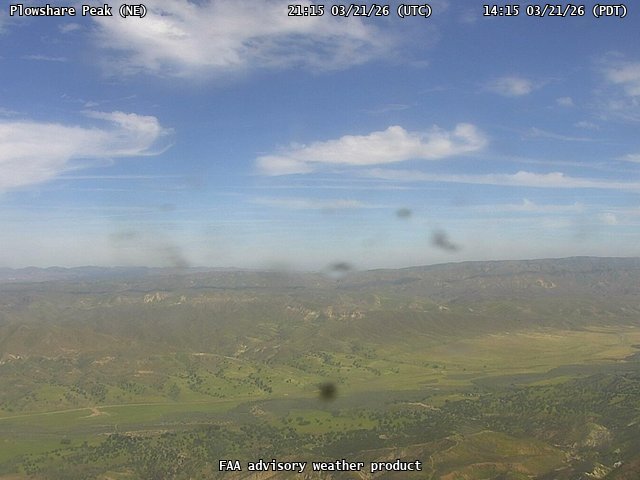
FAA weather camera at Plowshare Peak (N/A). View: NorthEast.
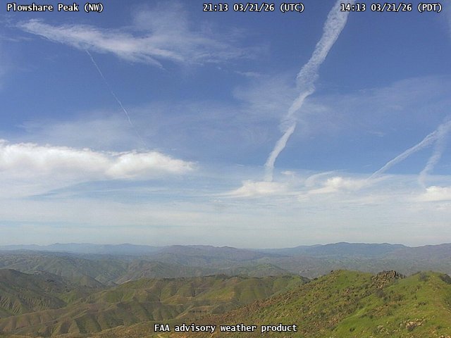
FAA weather camera at Plowshare Peak (N/A). View: NorthWest.
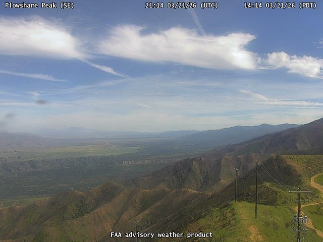
FAA weather camera at Plowshare Peak (N/A). View: SouthEast.

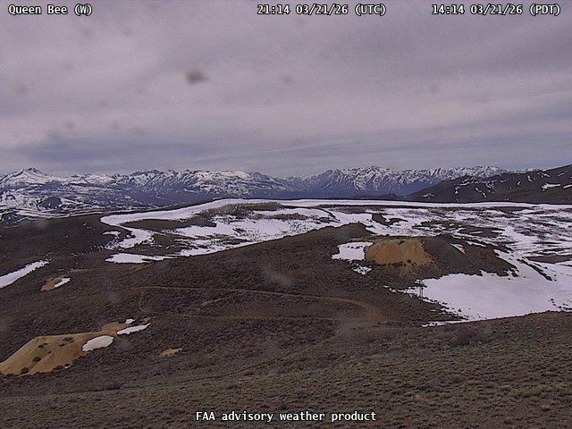
FAA weather camera at Queen Bee (N/A). View: NorthWest.
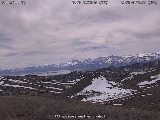
FAA weather camera at Queen Bee (N/A). View: South.
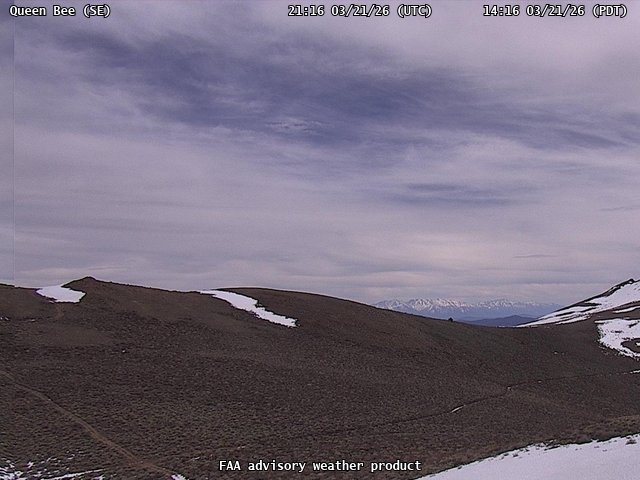
FAA weather camera at Queen Bee (N/A). View: SouthEast.
FAA weather camera at Queen Bee (N/A). View: West.
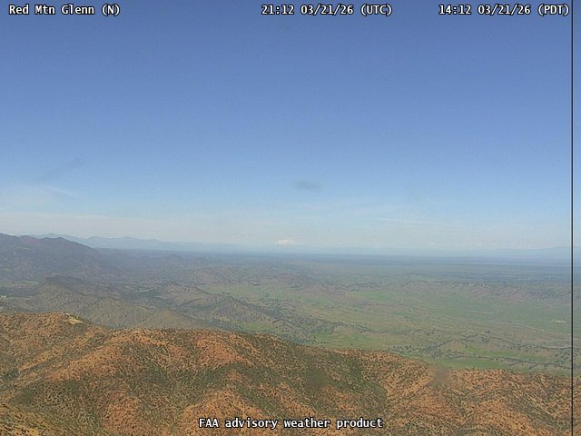
FAA weather camera at Red Mtn Glenn (N/A). View: North.
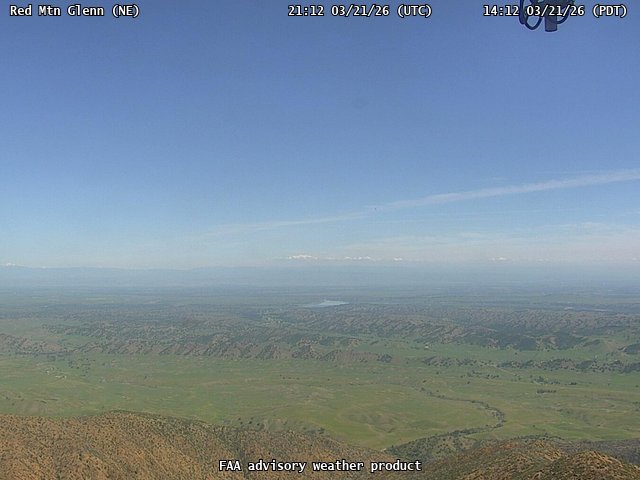
FAA weather camera at Red Mtn Glenn (N/A). View: NorthEast.
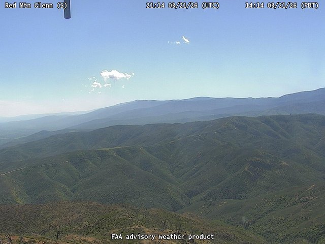
FAA weather camera at Red Mtn Glenn (N/A). View: South.
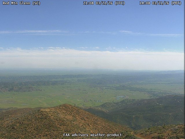
FAA weather camera at Red Mtn Glenn (N/A). View: SouthEast.

FAA weather camera at Ridgeline (N/A). View: South.
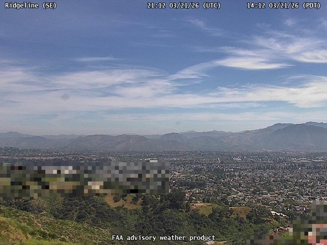
FAA weather camera at Ridgeline (N/A). View: SouthEast.
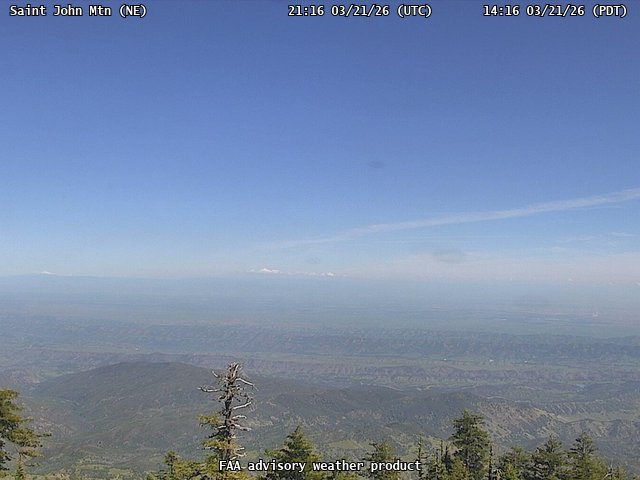
FAA weather camera at Saint John Mtn (N/A). View: NorthEast.
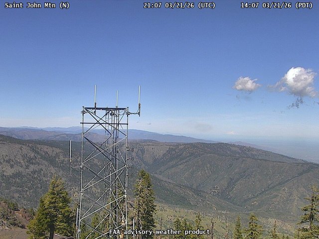
FAA weather camera at Saint John Mtn (N/A). View: North.
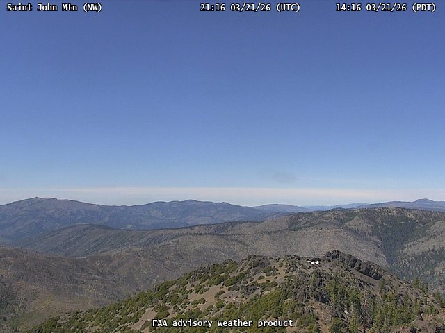
FAA weather camera at Saint John Mtn (N/A). View: NorthWest.
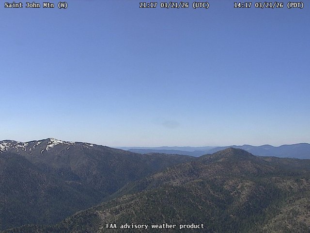
FAA weather camera at Saint John Mtn (N/A). View: West.
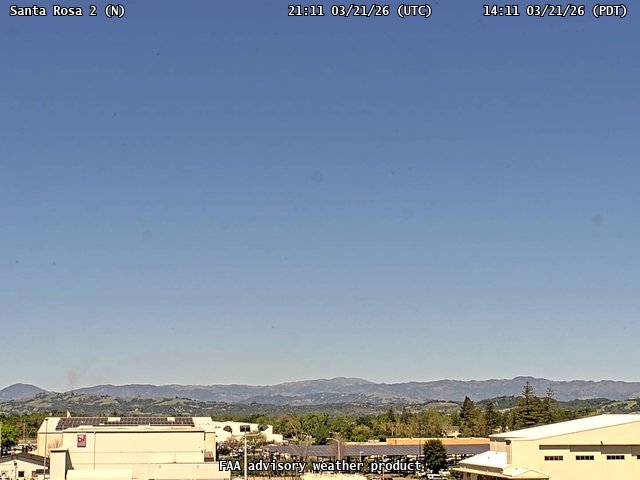
FAA weather camera at Santa Rosa 2 (N/A). View: North.
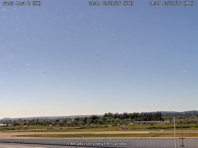
FAA weather camera at Santa Rosa 2 (N/A). View: SouthWest.
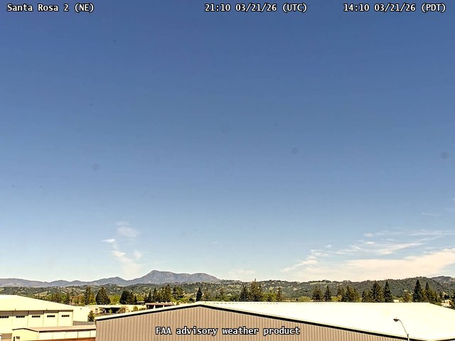
FAA weather camera at Santa Rosa 2 (N/A). View: NorthEast.
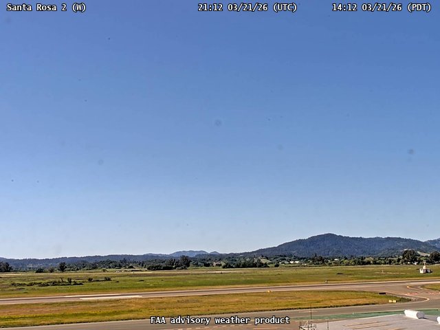
FAA weather camera at Santa Rosa 2 (N/A). View: West.
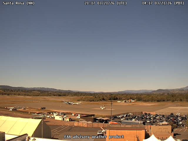
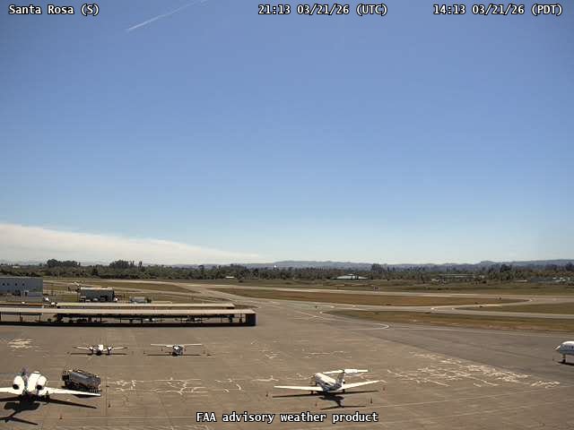
FAA weather camera at Santa Rosa (STS). View: NorthWest.
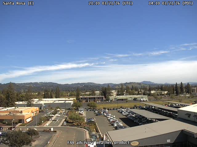
FAA weather camera at Santa Rosa (STS). View: East.
FAA weather camera at Santa Rosa (STS). View: South.
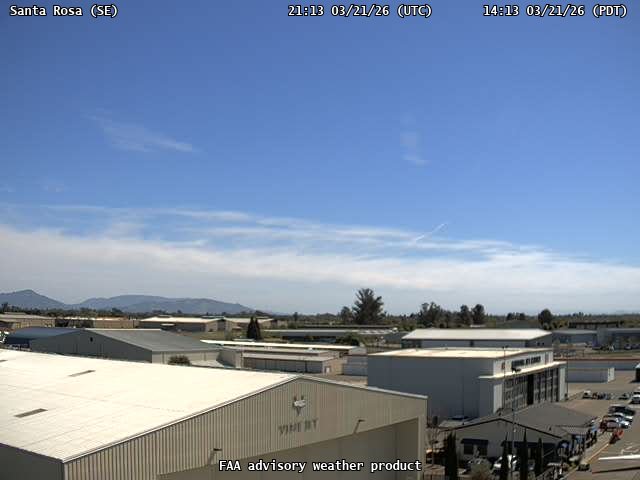
FAA weather camera at Santa Rosa (STS). View: SouthEast.
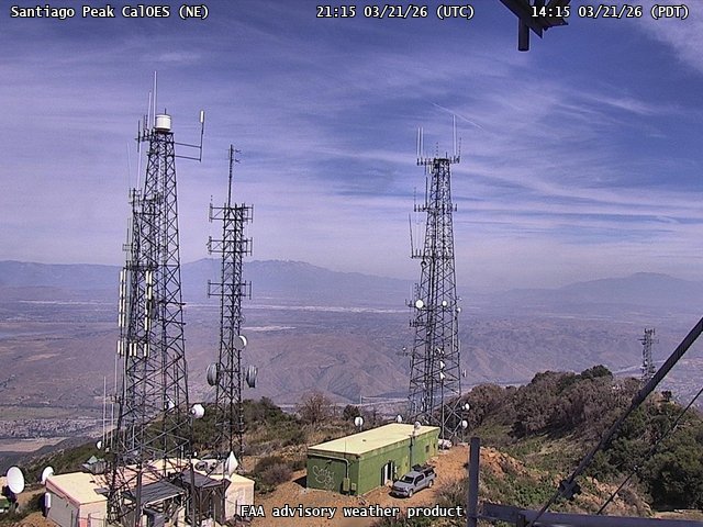
FAA weather camera at Santiago Peak CalOES (N/A). View: NorthEast.
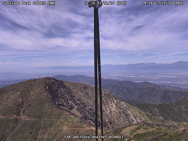
FAA weather camera at Santiago Peak CalOES (N/A). View: NorthWest.

FAA weather camera at Santiago Peak CalOES (N/A). View: West.
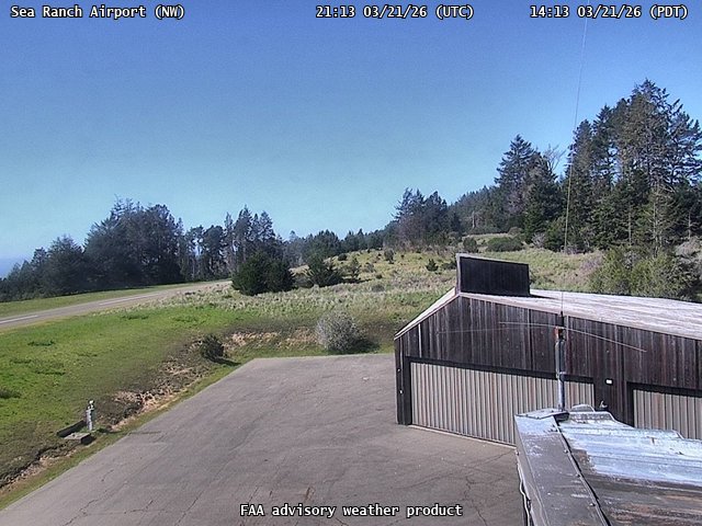
FAA weather camera at Sea Ranch Airport (CA51). View: NorthWest.
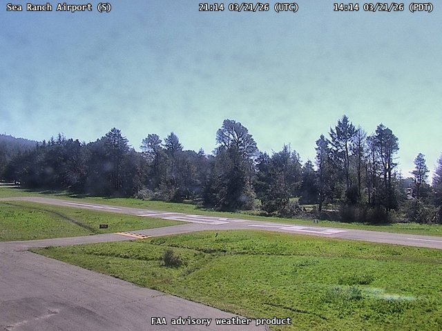
FAA weather camera at Sea Ranch Airport (CA51). View: South.
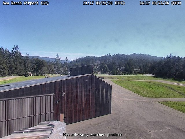
FAA weather camera at Sea Ranch Airport (CA51). View: SouthEast.
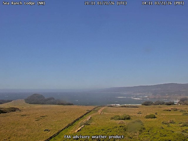
FAA weather camera at Sea Ranch Lodge (N/A). View: NorthWest.
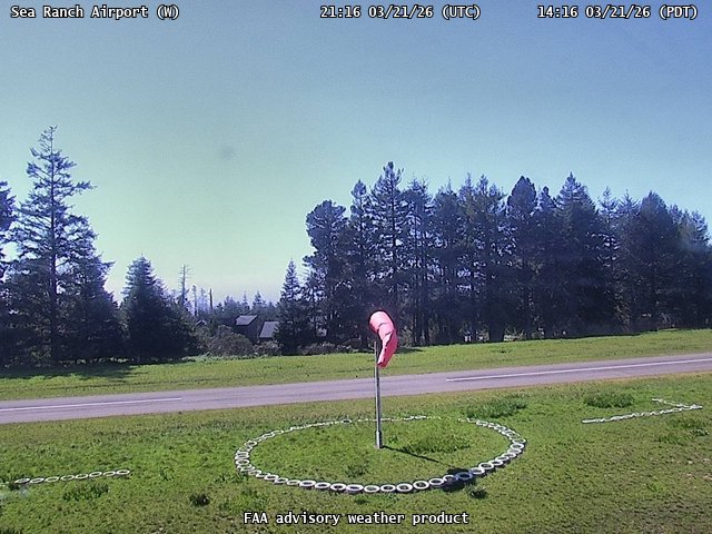
FAA weather camera at Sea Ranch Airport (CA51). View: West.
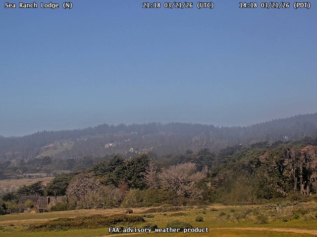
FAA weather camera at Sea Ranch Lodge (N/A). View: North.
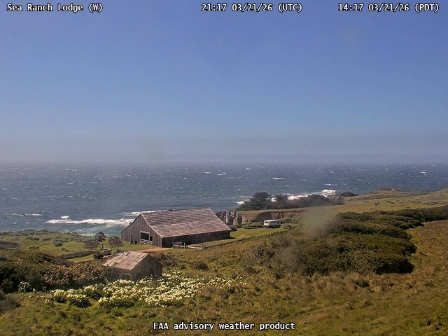
FAA weather camera at Sea Ranch Lodge (N/A). View: West.
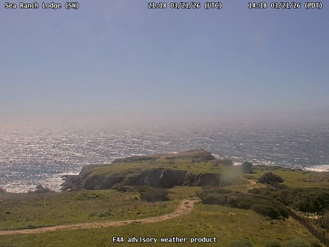
FAA weather camera at Sea Ranch Lodge (N/A). View: SouthWest.
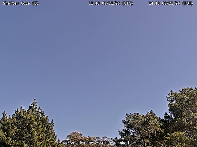
FAA weather camera at Shelter Cove (0Q5). View: East.
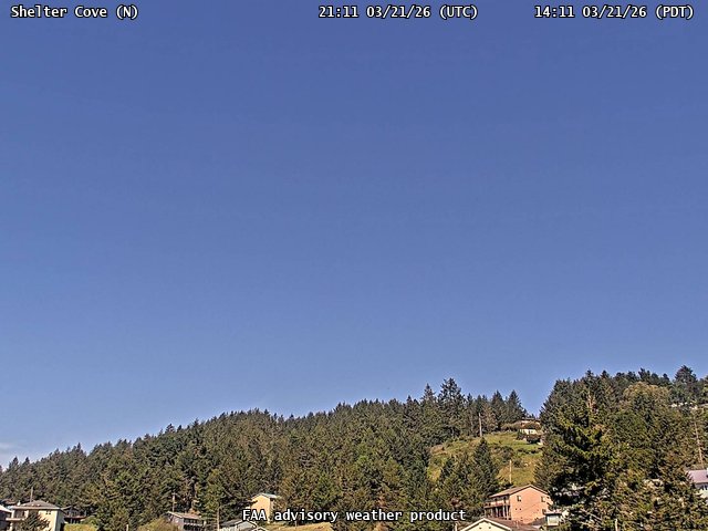
FAA weather camera at Shelter Cove (0Q5). View: North.
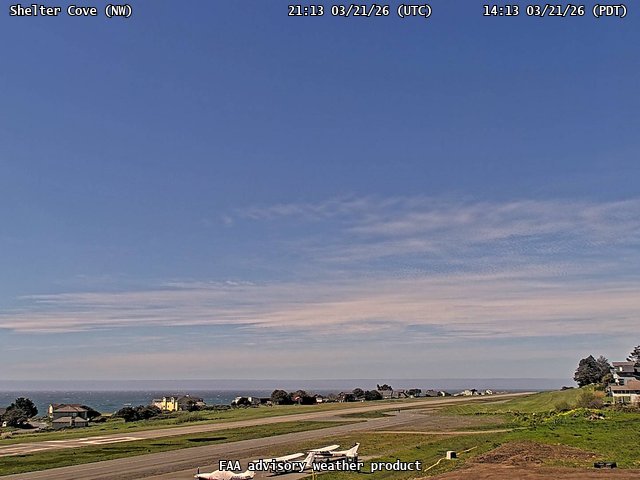
FAA weather camera at Shelter Cove (0Q5). View: NorthWest.
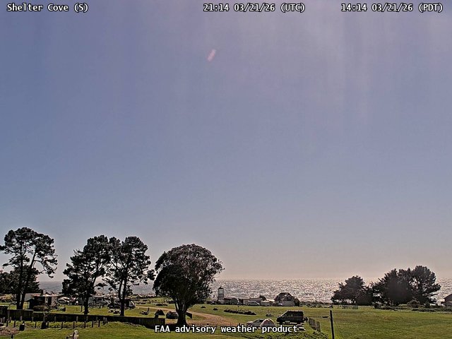
FAA weather camera at Shelter Cove (0Q5). View: South.
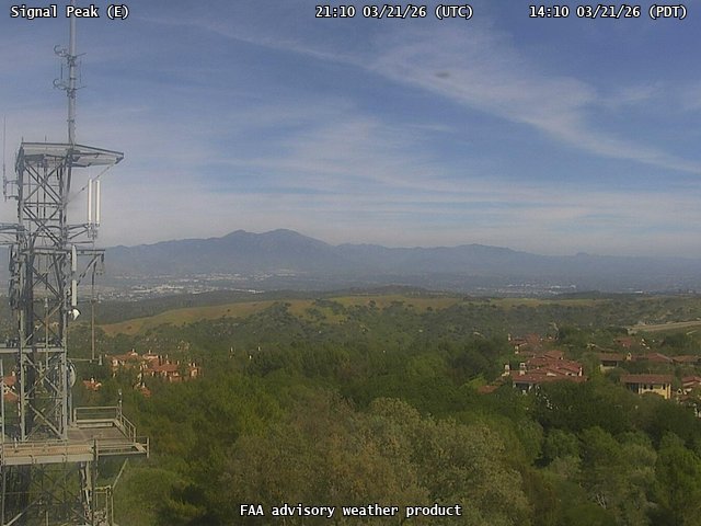
FAA weather camera at Signal Peak (N/A). View: East.
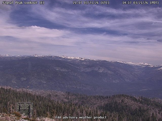
FAA weather camera at Signal Peak Lookout (N/A). View: East.
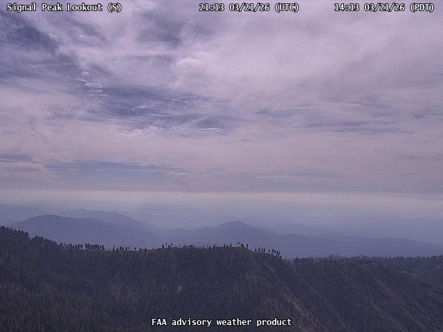
FAA weather camera at Signal Peak Lookout (N/A). View: South.
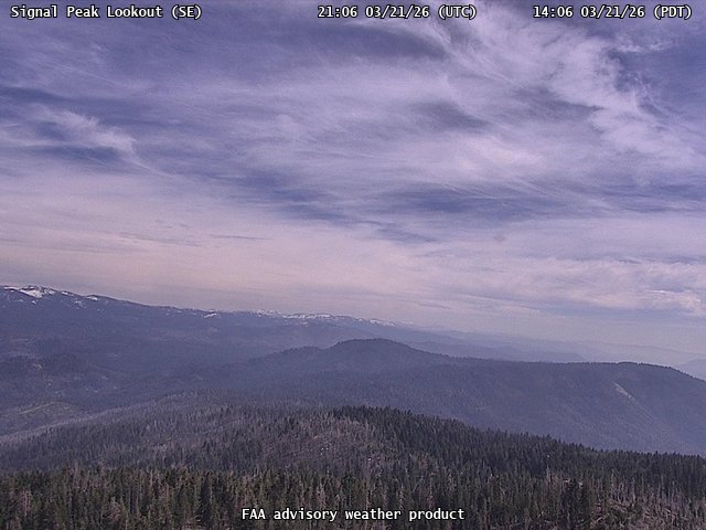
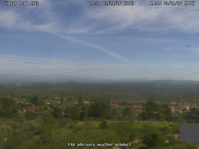
FAA weather camera at Signal Peak Lookout (N/A). View: SouthEast.
FAA weather camera at Signal Peak Lookout (N/A). View: West.
FAA weather camera at Signal Peak (N/A). View: SouthEast.
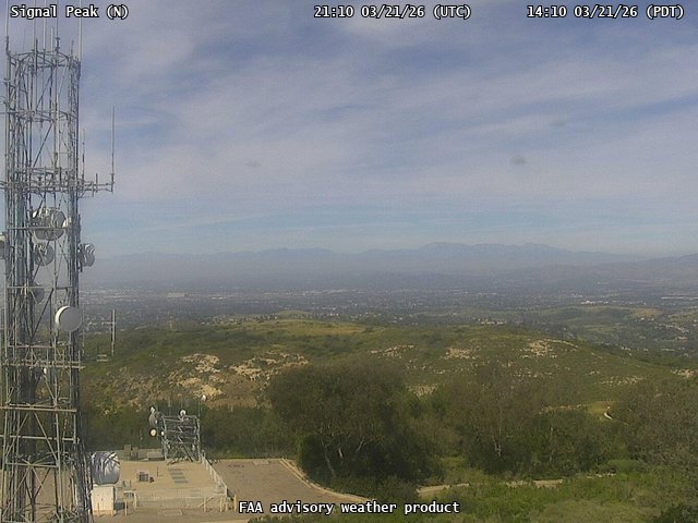
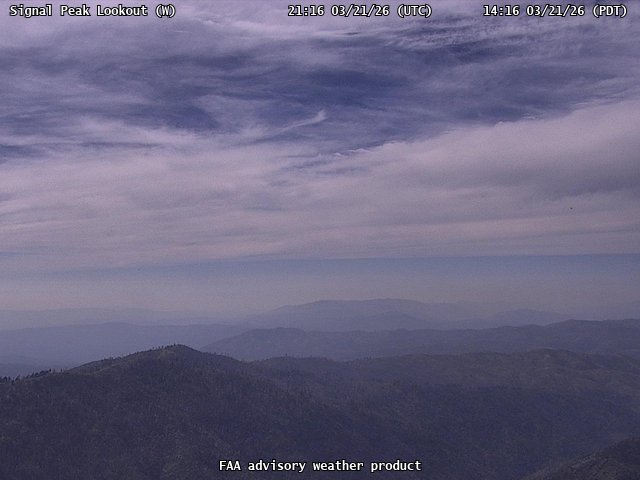
FAA weather camera at Signal Peak (N/A). View: North.
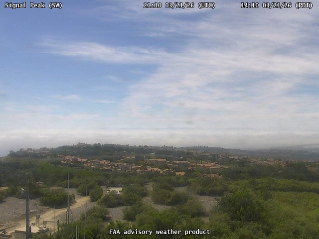
FAA weather camera at Signal Peak (N/A). View: SouthWest.
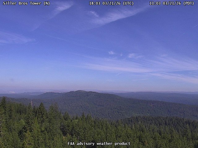
FAA weather camera at Siller Bros Tower (N/A). View: North.
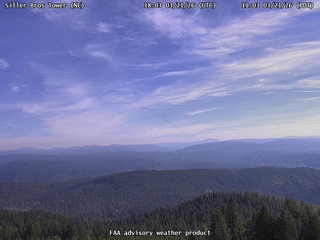
FAA weather camera at Siller Bros Tower (N/A). View: NorthEast.
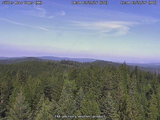
FAA weather camera at Siller Bros Tower (N/A). View: NorthWest.
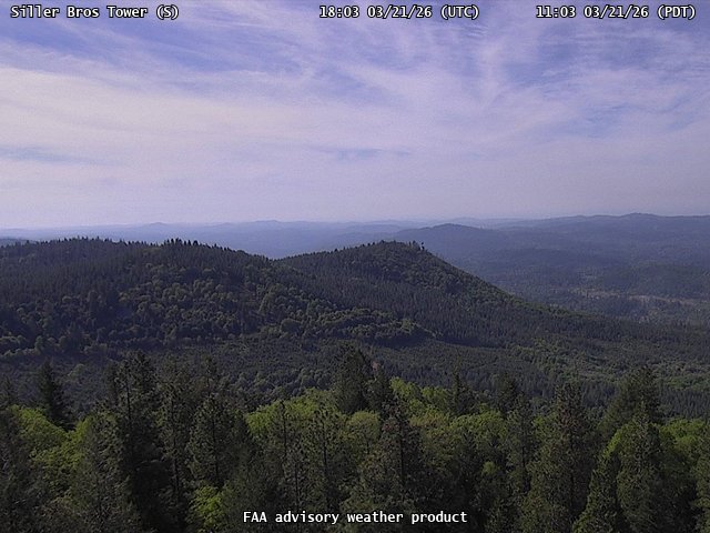
FAA weather camera at Siller Bros Tower (N/A). View: South.
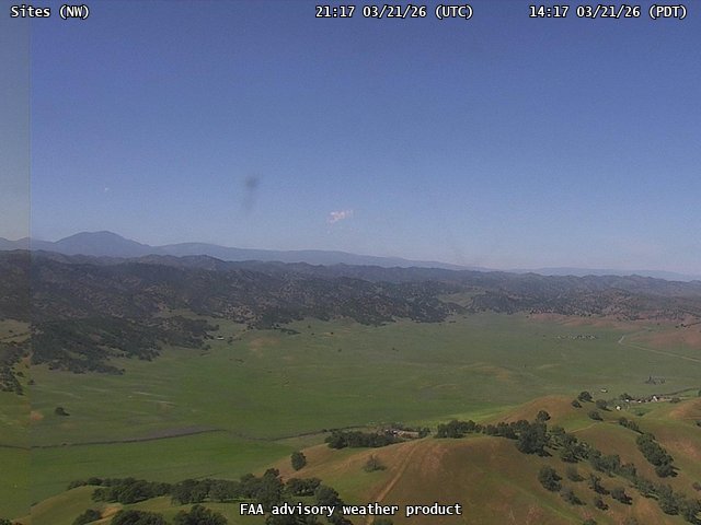
FAA weather camera at Sites (N/A). View: NorthWest.
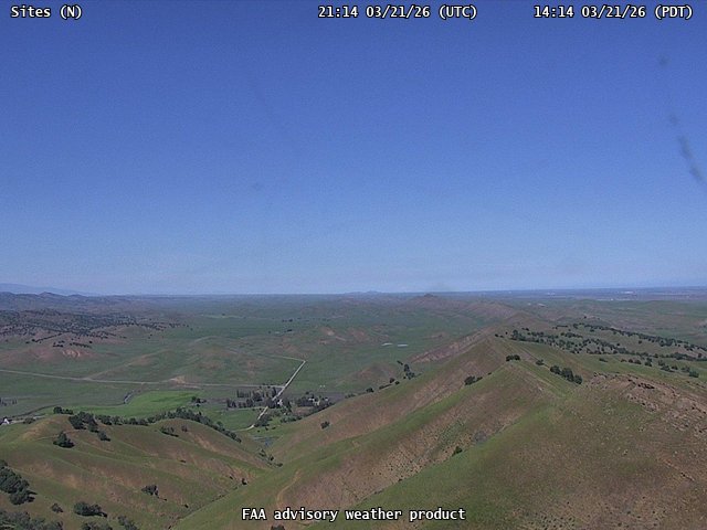
FAA weather camera at Sites (N/A). View: North.
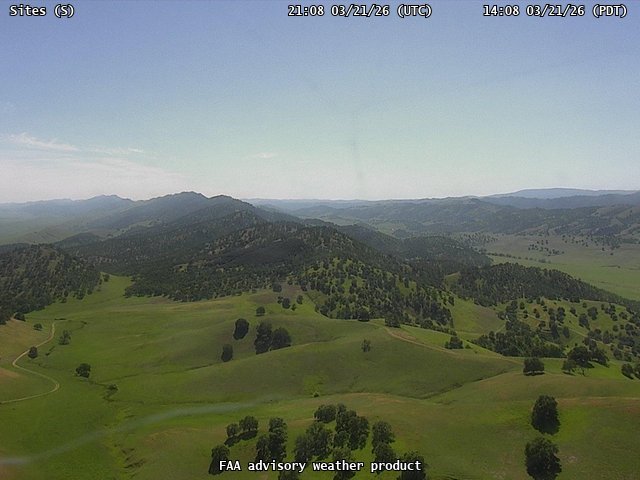
FAA weather camera at Sites (N/A). View: South.
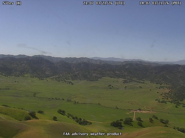
FAA weather camera at Sites (N/A). View: West.
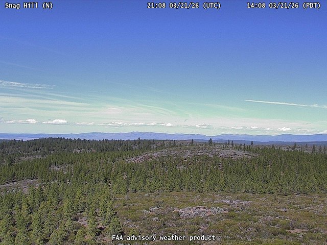
FAA weather camera at Snag Hill (N/A). View: North.
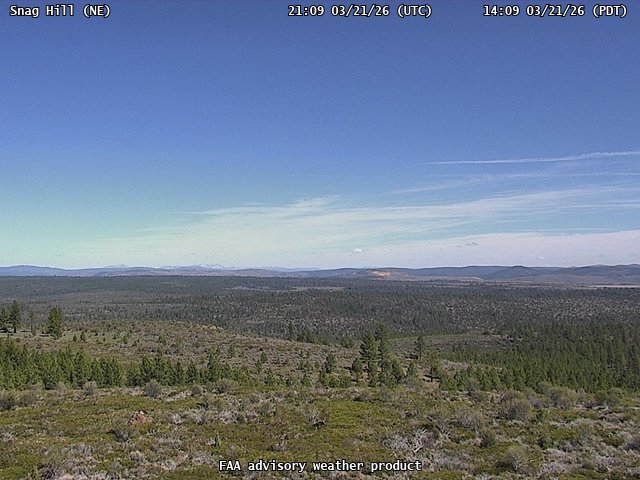
FAA weather camera at Snag Hill (N/A). View: NorthEast.
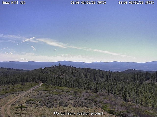
FAA weather camera at Snag Hill (N/A). View: South.
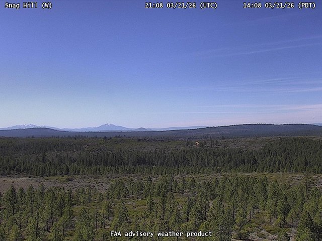
FAA weather camera at Snag Hill (N/A). View: West.
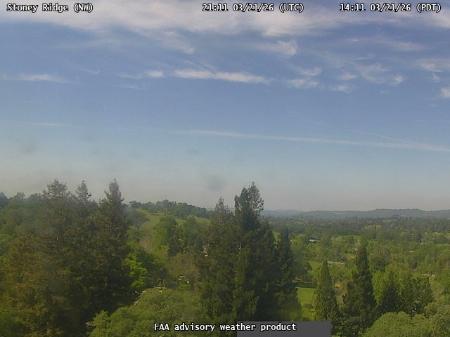
FAA weather camera at Stoney Ridge (N/A). View: NorthWest.
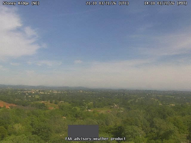
FAA weather camera at Stoney Ridge (N/A). View: NorthEast.
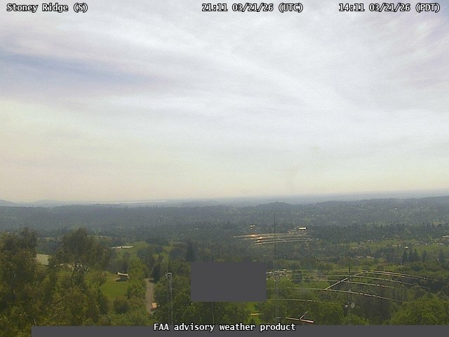
FAA weather camera at Stoney Ridge (N/A). View: South.
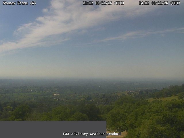
FAA weather camera at Stoney Ridge (N/A). View: West.
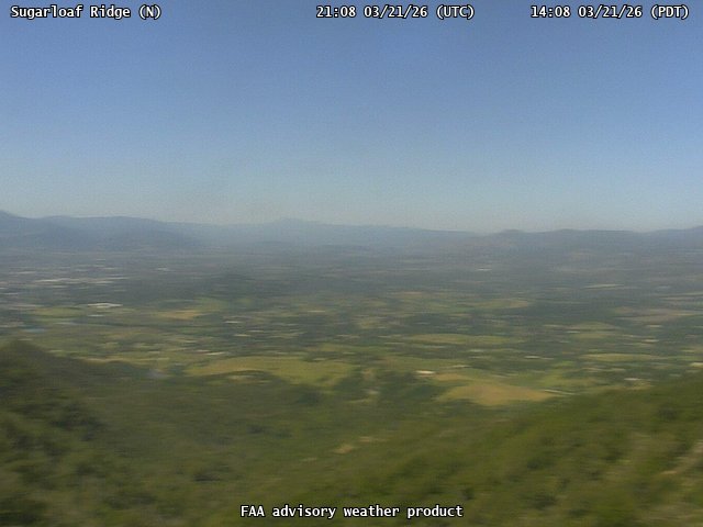
FAA weather camera at Sugarloaf Ridge (N/A). View: North.
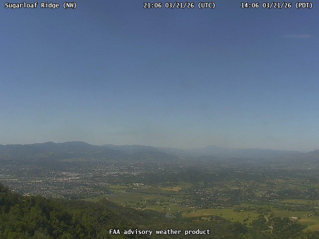
FAA weather camera at Sugarloaf Ridge (N/A). View: NorthWest.
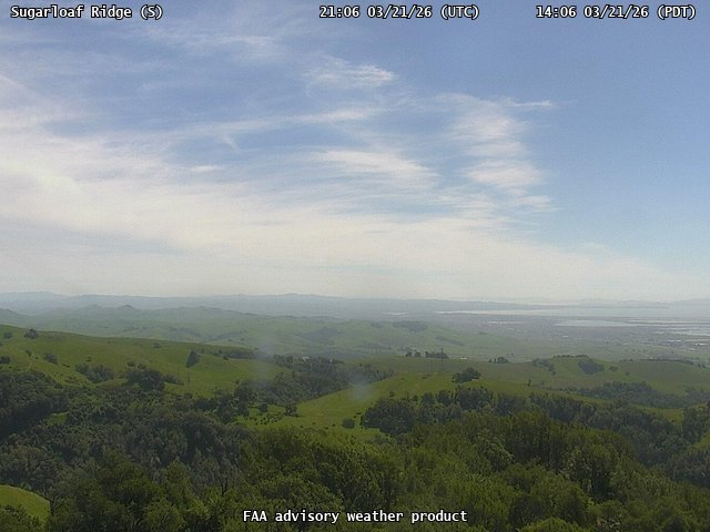
FAA weather camera at Sugarloaf Ridge (N/A). View: South.
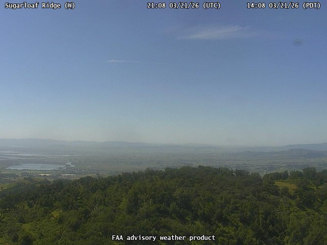
FAA weather camera at Sugarloaf Ridge (N/A). View: West.
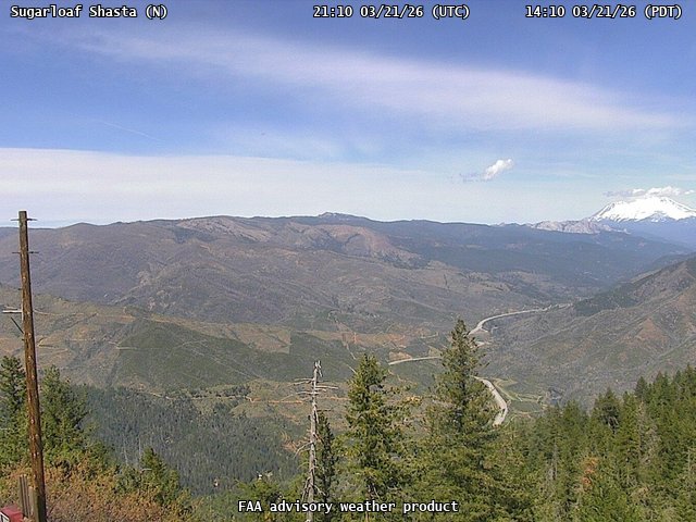
FAA weather camera at Sugarloaf Shasta (N/A). View: North.
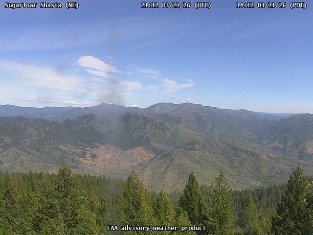
FAA weather camera at Sugarloaf Shasta (N/A). View: NorthEast.
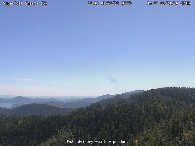
FAA weather camera at Sugarloaf Shasta (N/A). View: South.
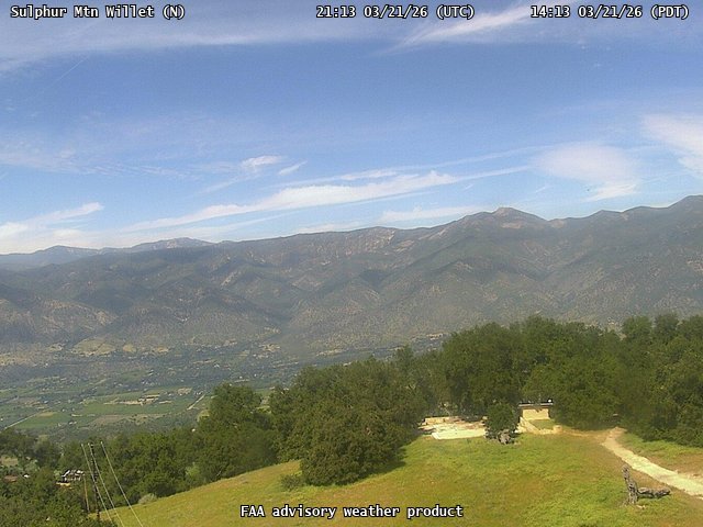
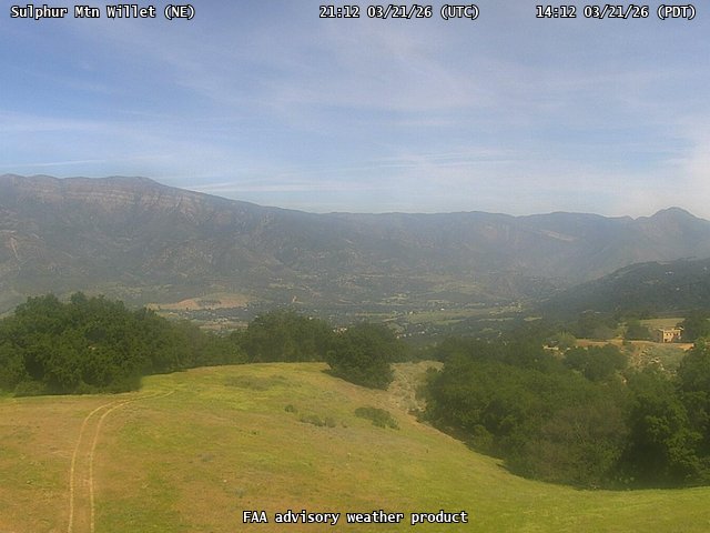
FAA weather camera at Sulphur Mtn Willet (N/A). View: North.
FAA weather camera at Sulphur Mtn Willet (N/A). View: NorthEast.
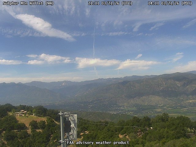
FAA weather camera at Sulphur Mtn Willet (N/A). View: NorthWest.
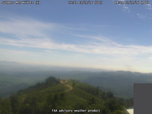
FAA weather camera at Sulphur Mtn Willet (N/A). View: South.
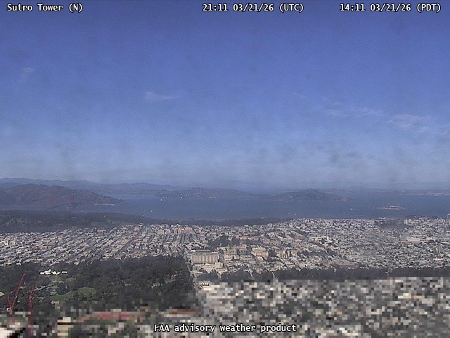
FAA weather camera at Sutro Tower (N/A). View: North.
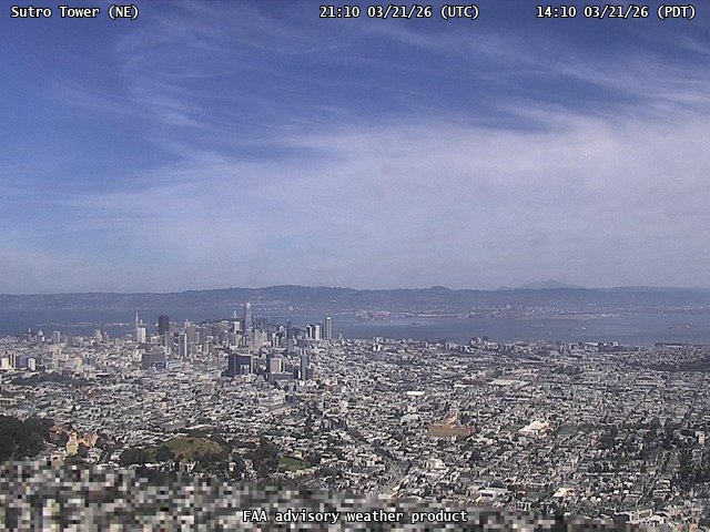
FAA weather camera at Sutro Tower (N/A). View: NorthEast.
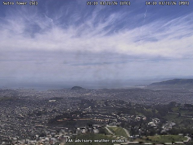
FAA weather camera at Sutro Tower (N/A). View: SouthEast.
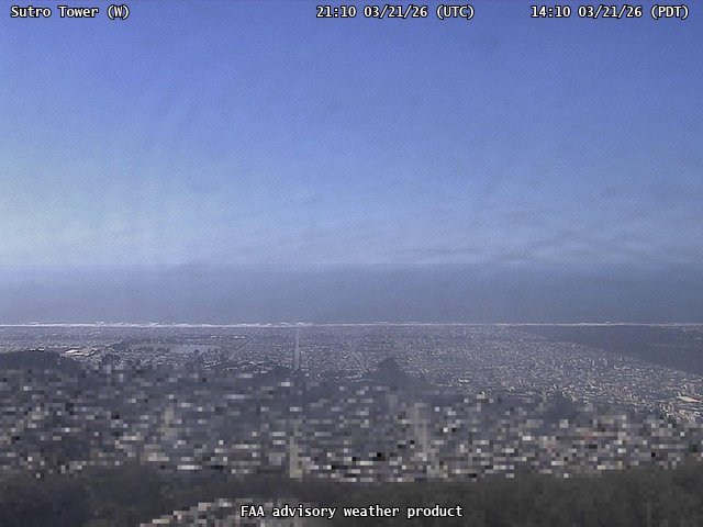
FAA weather camera at Sutro Tower (N/A). View: West.
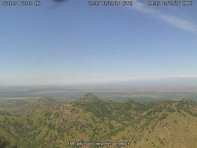
FAA weather camera at Sutter Buttes (N/A). View: North.
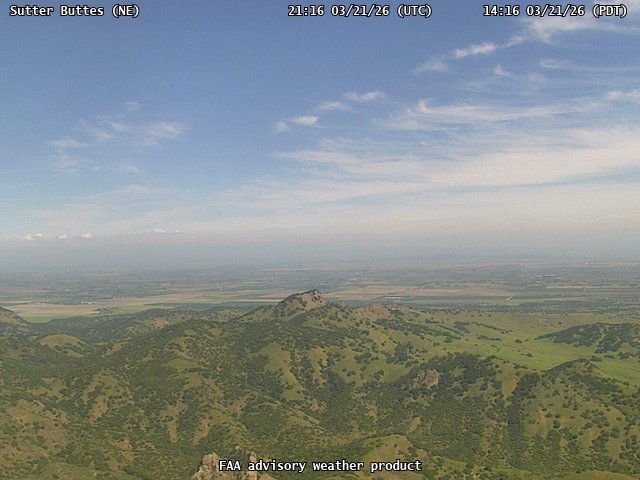
FAA weather camera at Sutter Buttes (N/A). View: NorthEast.
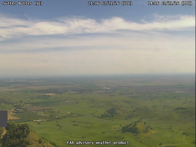
FAA weather camera at Sutter Buttes (N/A). View: SouthEast.
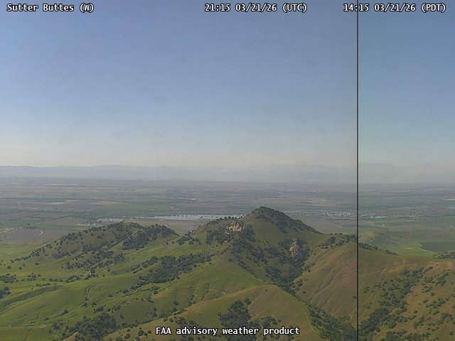
FAA weather camera at Sutter Buttes (N/A). View: West.

FAA weather camera at Talega (N/A). View: North.
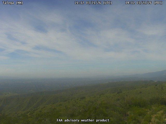
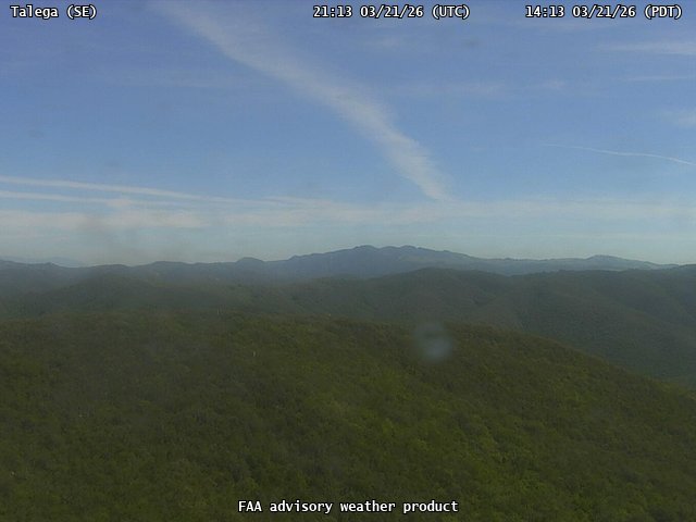
FAA weather camera at Talega (N/A). View: NorthWest.
FAA weather camera at Talega (N/A). View: SouthEast.
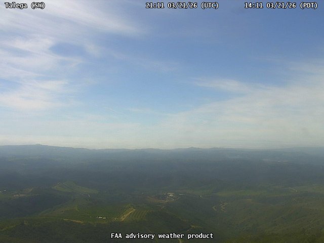
FAA weather camera at Talega (N/A). View: SouthWest.
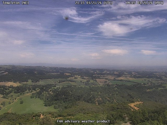
FAA weather camera at Templeton (N/A). View: NorthEast.
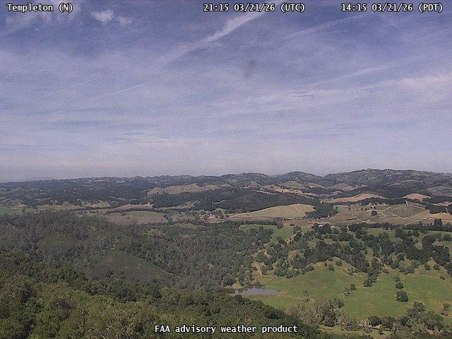
FAA weather camera at Templeton (N/A). View: North.
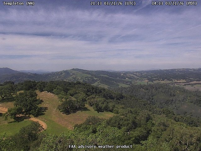
FAA weather camera at Templeton (N/A). View: NorthWest.
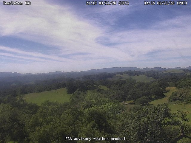
FAA weather camera at Templeton (N/A). View: West.
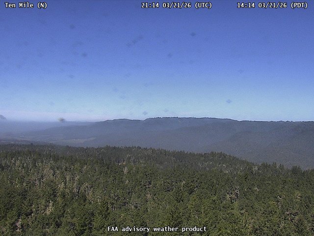
FAA weather camera at Ten Mile (N/A). View: North.
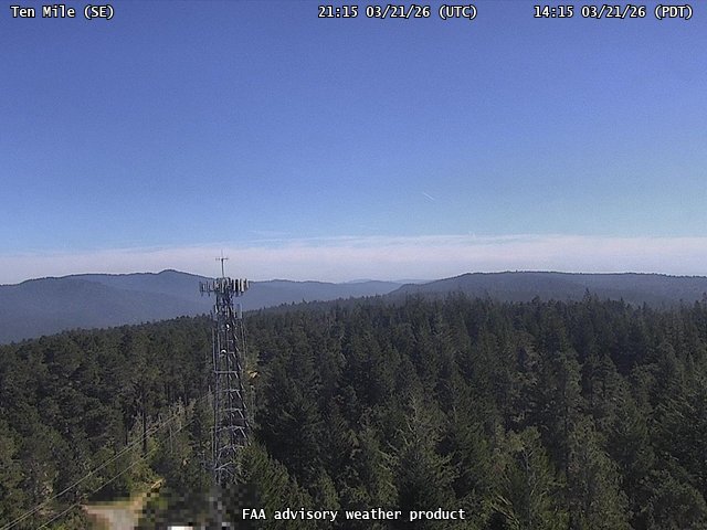
FAA weather camera at Ten Mile (N/A). View: SouthEast.

FAA weather camera at Ten Mile (N/A). View: West.
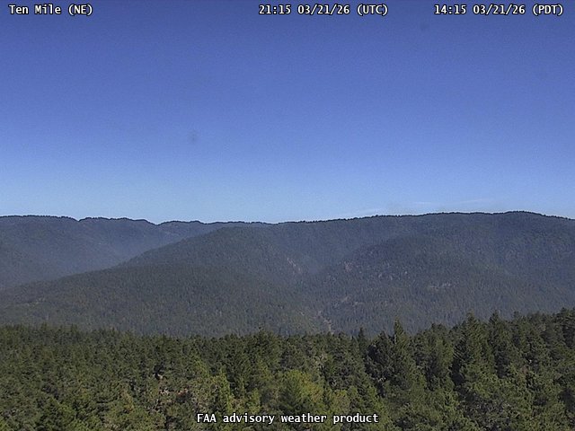
FAA weather camera at Ten Mile (N/A). View: NorthEast.
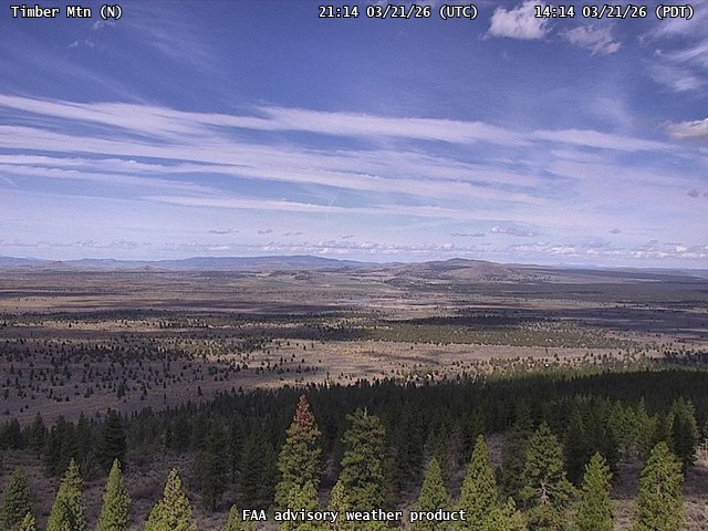
FAA weather camera at Timber Mtn (N/A). View: North.
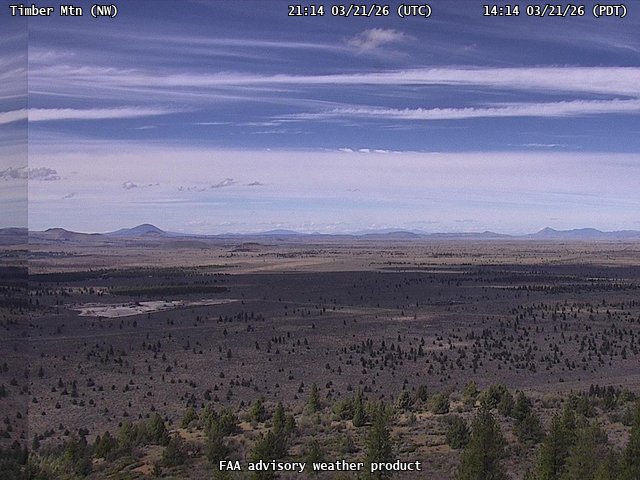
FAA weather camera at Timber Mtn (N/A). View: NorthWest.
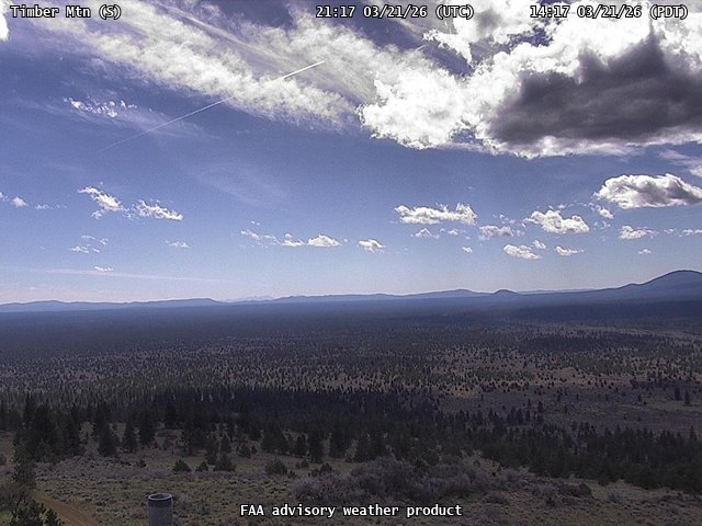
FAA weather camera at Timber Mtn (N/A). View: South.
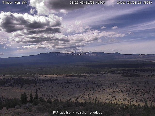
FAA weather camera at Timber Mtn (N/A). View: West.
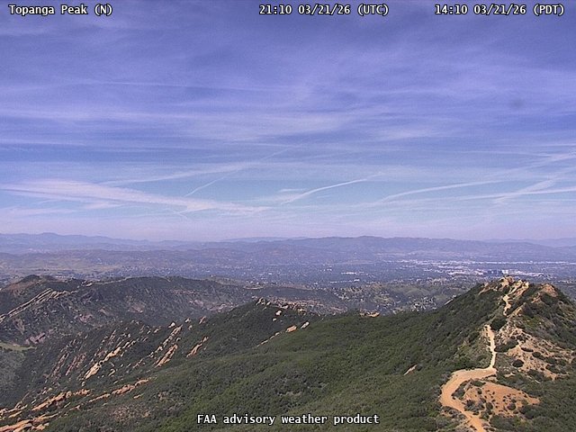
FAA weather camera at Topanga Peak (N/A). View: North.
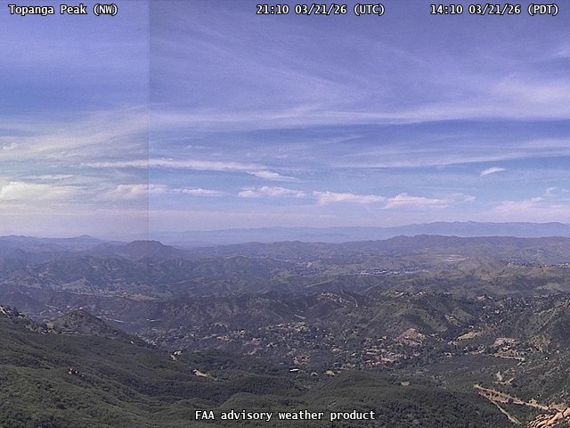
FAA weather camera at Topanga Peak (N/A). View: NorthWest.
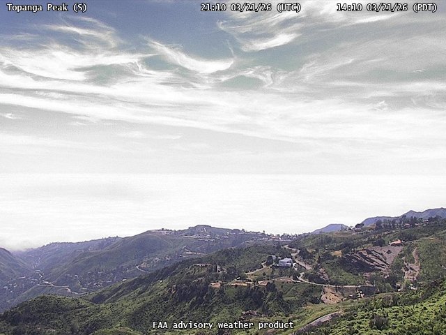
FAA weather camera at Topanga Peak (N/A). View: South.
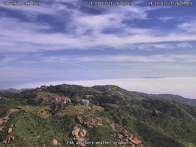
FAA weather camera at Topanga Peak (N/A). View: SouthEast.
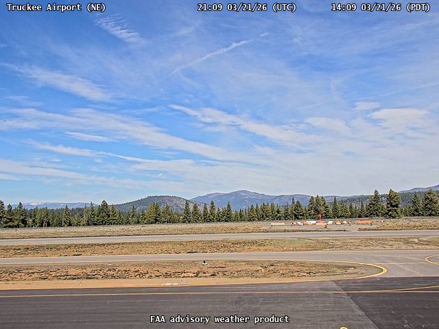
FAA weather camera at Truckee Airport (KTRK). View: NorthEast.
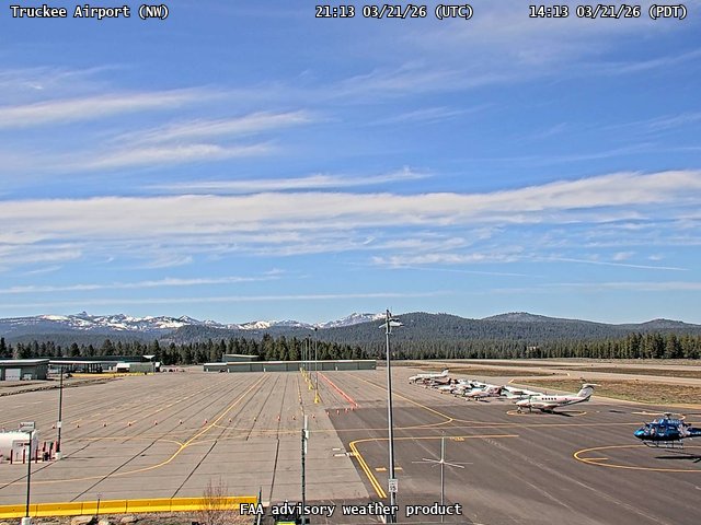
FAA weather camera at Truckee Airport (KTRK). View: NorthWest.
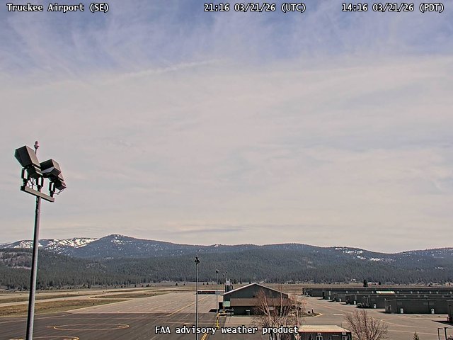
FAA weather camera at Truckee Airport (KTRK). View: SouthEast.
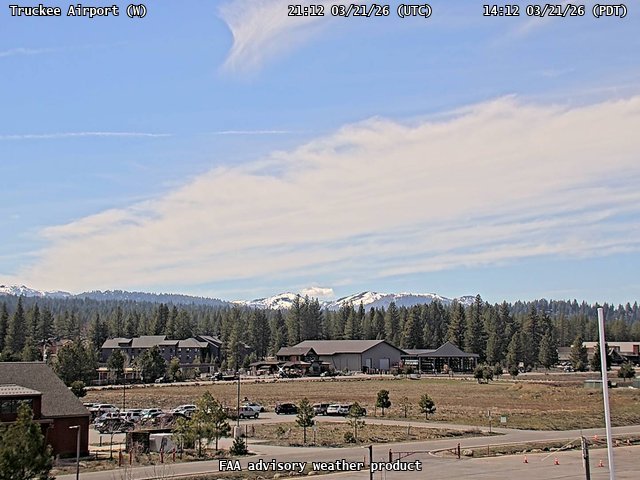
FAA weather camera at Truckee Airport (KTRK). View: West.
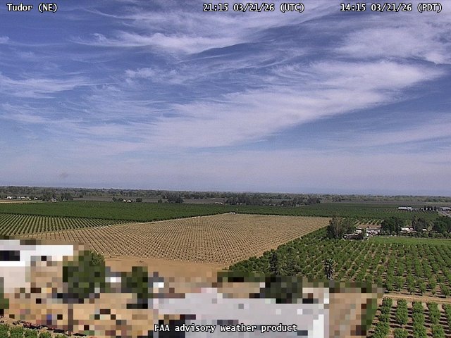
FAA weather camera at Tudor (N/A). View: NorthEast.
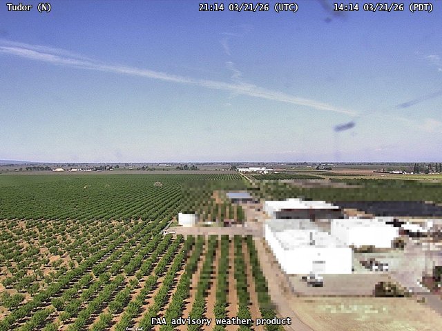
FAA weather camera at Tudor (N/A). View: North.
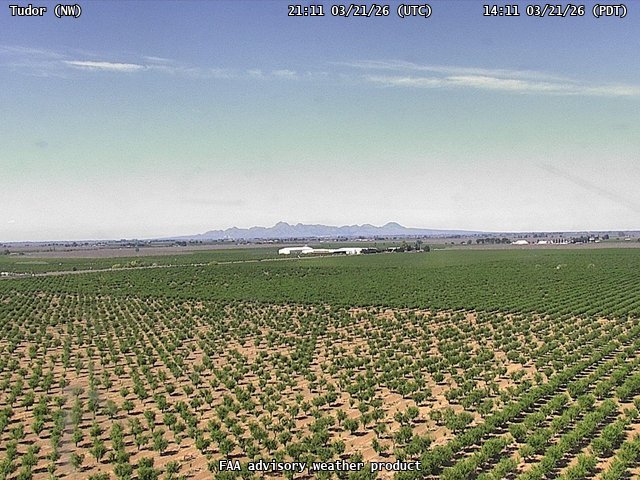
FAA weather camera at Tudor (N/A). View: NorthWest.
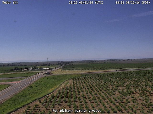
FAA weather camera at Tudor (N/A). View: West.
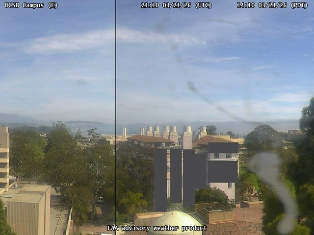
FAA weather camera at UCSB Campus (N/A). View: East.
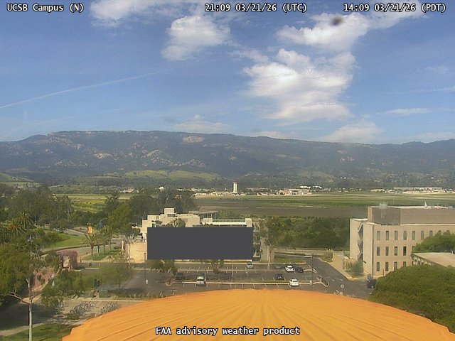
FAA weather camera at UCSB Campus (N/A). View: North.

FAA weather camera at UCSB Campus (N/A). View: NorthWest.
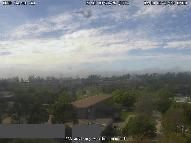
FAA weather camera at UCSB Campus (N/A). View: West.

FAA weather camera at Ukiah (N/A). View: East.

FAA weather camera at Ukiah (N/A). View: North.
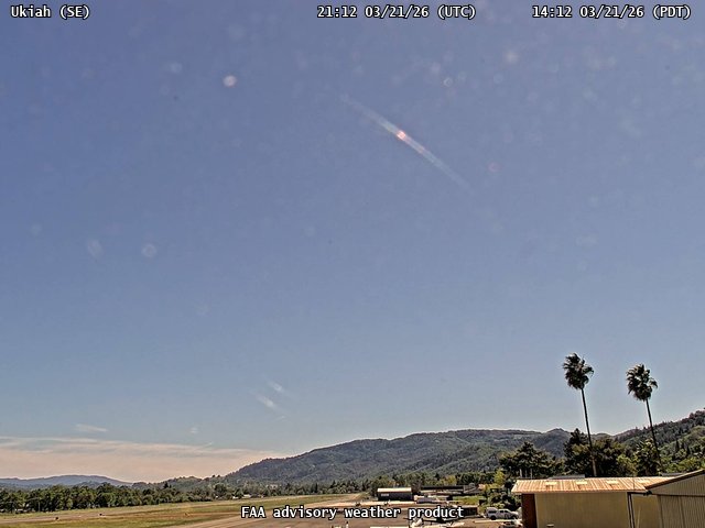
FAA weather camera at Ukiah (N/A). View: SouthEast.
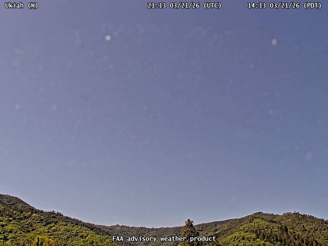
FAA weather camera at Ukiah (N/A). View: West.
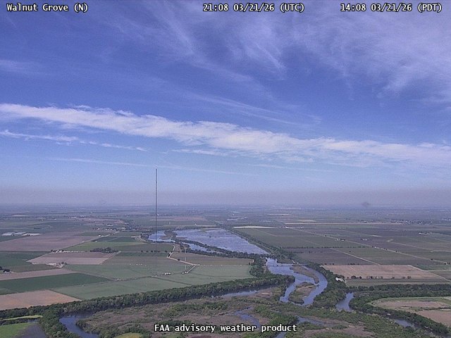
FAA weather camera at Walnut Grove (N/A). View: North.
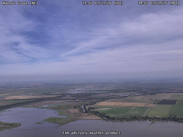
FAA weather camera at Walnut Grove (N/A). View: NorthEast.
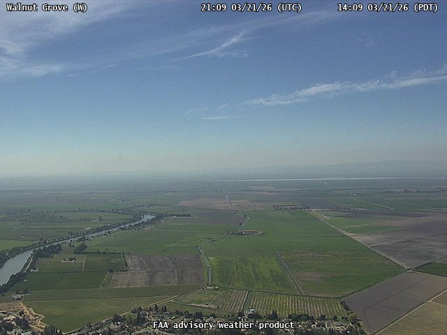
FAA weather camera at Walnut Grove (N/A). View: West.
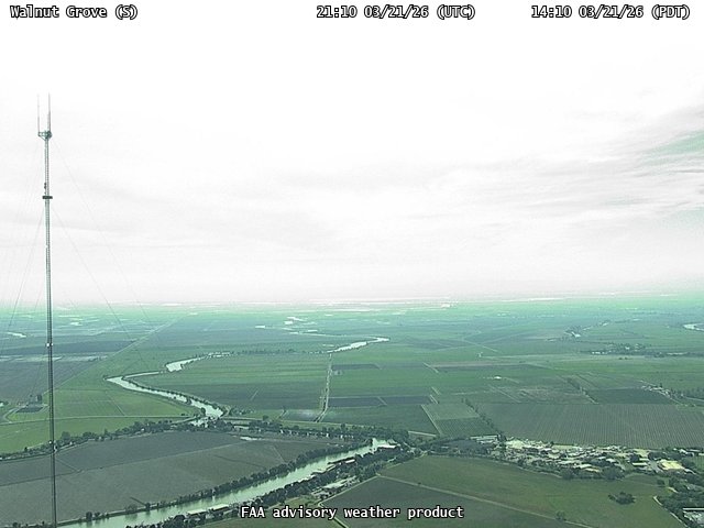
FAA weather camera at Walnut Grove (N/A). View: South.
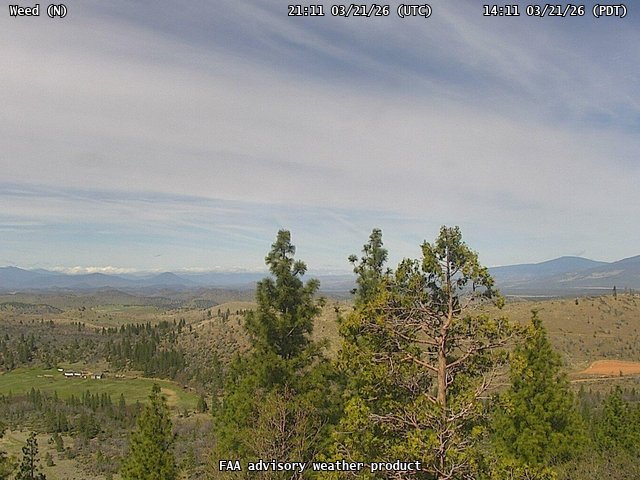
FAA weather camera at Weed (N/A). View: North.
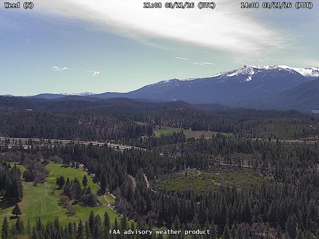
FAA weather camera at Weed (N/A). View: South.
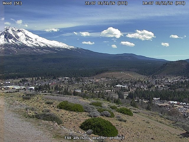
FAA weather camera at Weed (N/A). View: SouthEast.
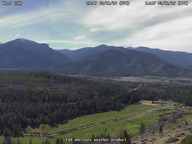
FAA weather camera at Weed (N/A). View: SouthWest.
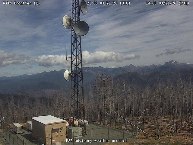
FAA weather camera at Wild Frontier (N/A). View: East.
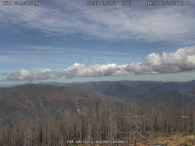
FAA weather camera at Wild Frontier (N/A). View: North.
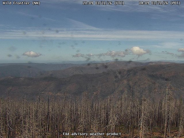
FAA weather camera at Wild Frontier (N/A). View: NorthWest.
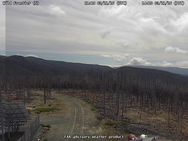
FAA weather camera at Wild Frontier (N/A). View: South.

FAA weather camera at Williams Glider Port (CN12). View: East.
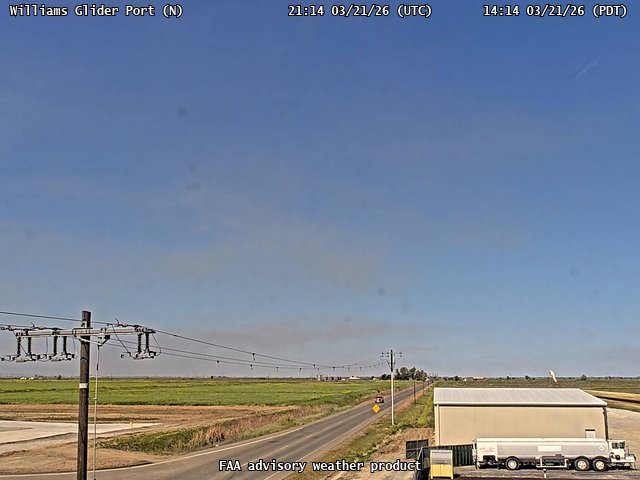
FAA weather camera at Williams Glider Port (CN12). View: North.
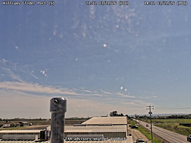
FAA weather camera at Williams Glider Port (CN12). View: South.
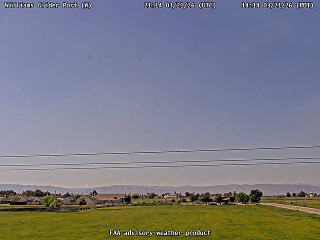
FAA weather camera at Williams Glider Port (CN12). View: West.
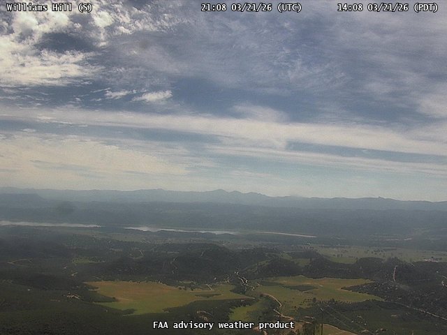
FAA weather camera at Williams Hill (N/A). View: South.
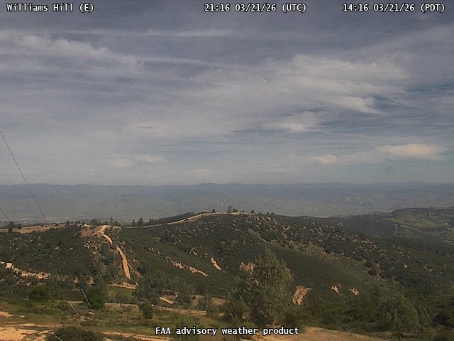
FAA weather camera at Williams Hill (N/A). View: East.

FAA weather camera at Williams Hill (N/A). View: SouthEast.

FAA weather camera at Williams Hill (N/A). View: West.
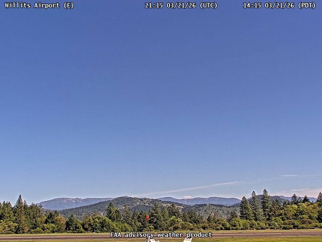
FAA weather camera at Willits Airport (O28). View: East.
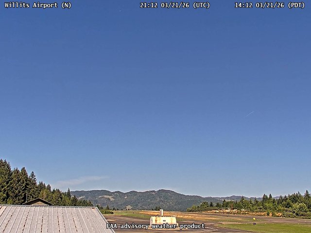
FAA weather camera at Willits Airport (O28). View: North.
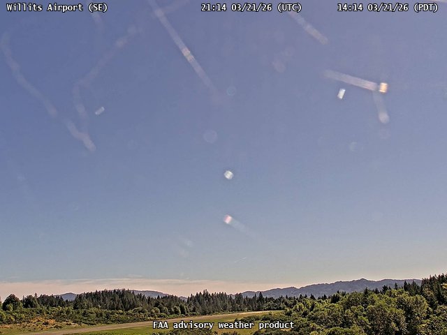
FAA weather camera at Willits Airport (O28). View: SouthEast.
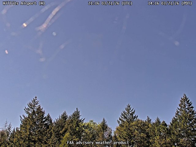
FAA weather camera at Willits Airport (O28). View: West.
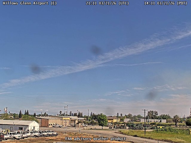
FAA weather camera at Willows Glenn Airport (WLW). View: East.
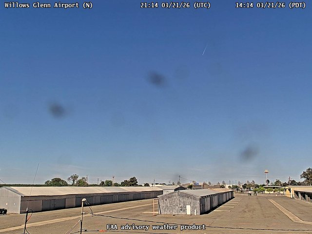
FAA weather camera at Willows Glenn Airport (WLW). View: North.
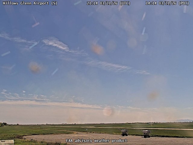
FAA weather camera at Willows Glenn Airport (WLW). View: South.
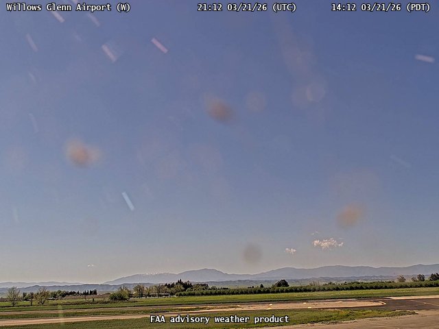
FAA weather camera at Willows Glenn Airport (WLW). View: West.
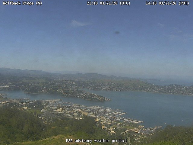
FAA weather camera at Wolfback Ridge (N/A). View: North.
FAA weather camera at Wolfback Ridge (N/A). View: NorthEast.
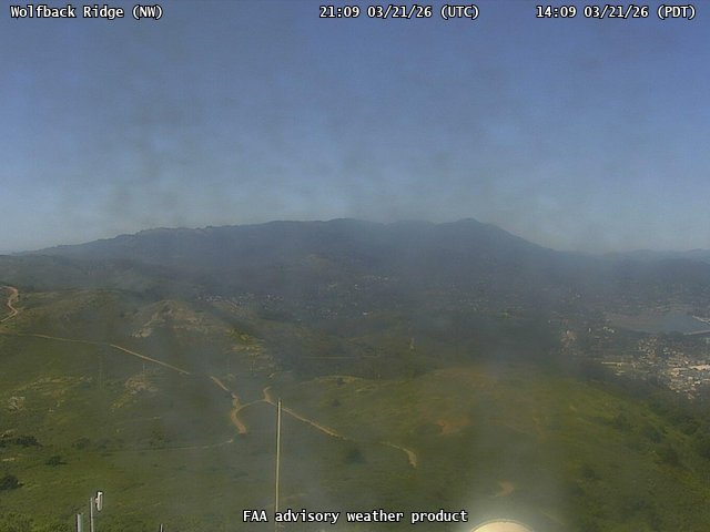
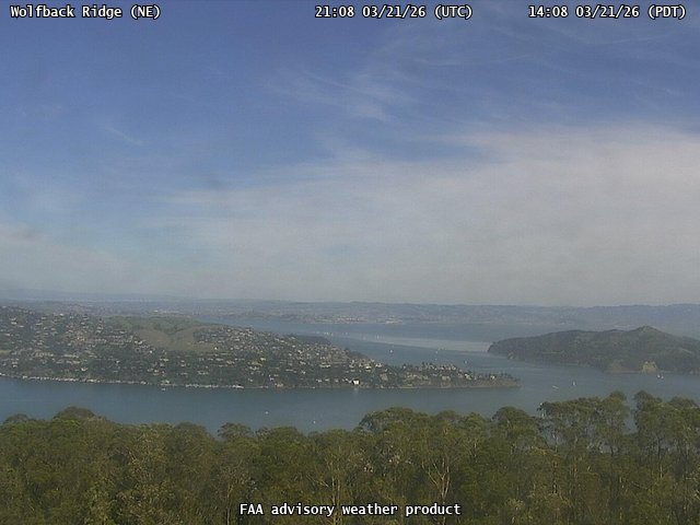
FAA weather camera at Wolfback Ridge (N/A). View: NorthWest.
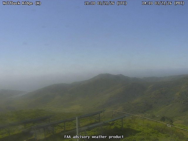
FAA weather camera at Wolfback Ridge (N/A). View: West.