Live Mt Webcams
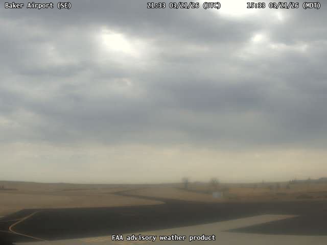
FAA weather camera at Baker Airport (BHK). View: SouthEast.
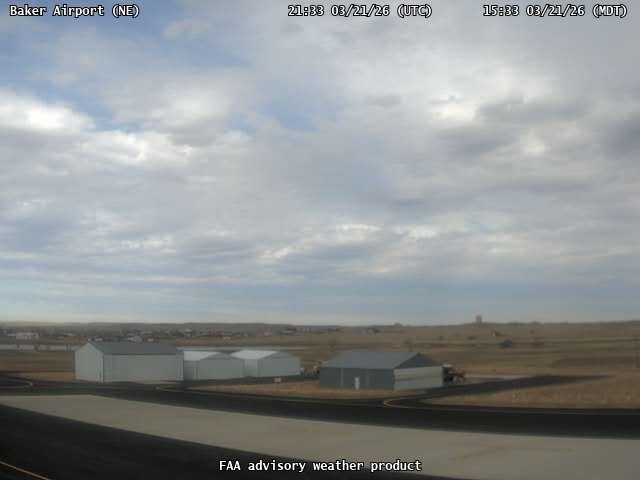
FAA weather camera at Baker Airport (BHK). View: NorthEast.
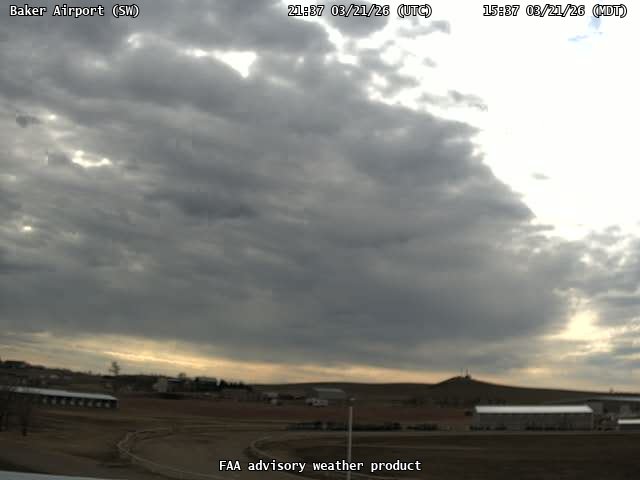
FAA weather camera at Baker Airport (BHK). View: SouthWest.
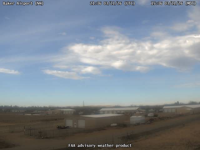
FAA weather camera at Baker Airport (BHK). View: NorthWest.
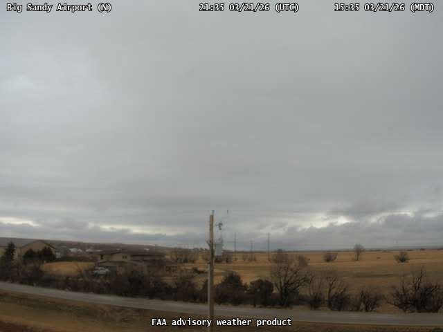
FAA weather camera at Big Sandy Airport (3U8). View: North.
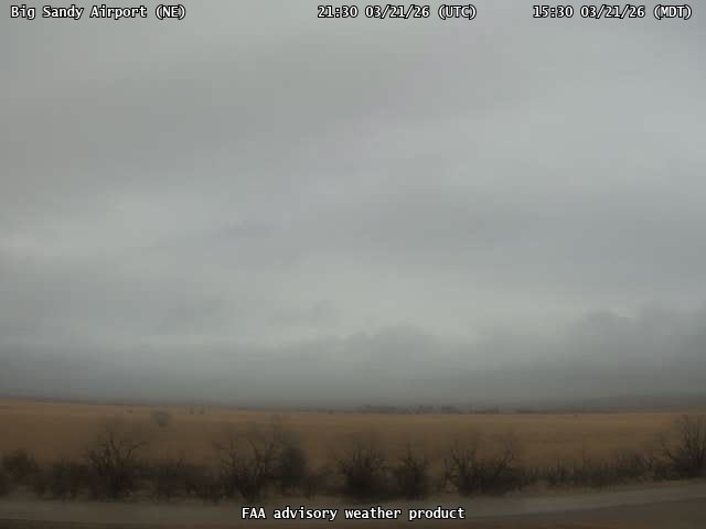
FAA weather camera at Big Sandy Airport (3U8). View: NorthEast.

FAA weather camera at Big Sandy Airport (3U8). View: SouthWest.
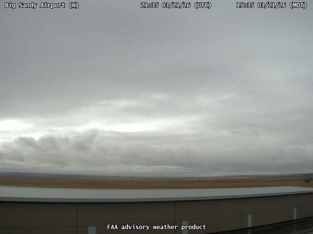
FAA weather camera at Big Sandy Airport (3U8). View: West.
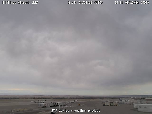
FAA weather camera at Billings Airport (N/A). View: NorthEast.
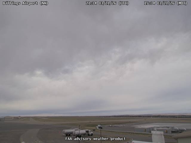
FAA weather camera at Billings Airport (N/A). View: NorthWest.
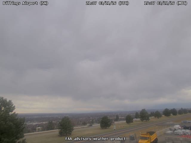
FAA weather camera at Billings Airport (N/A). View: SouthWest.
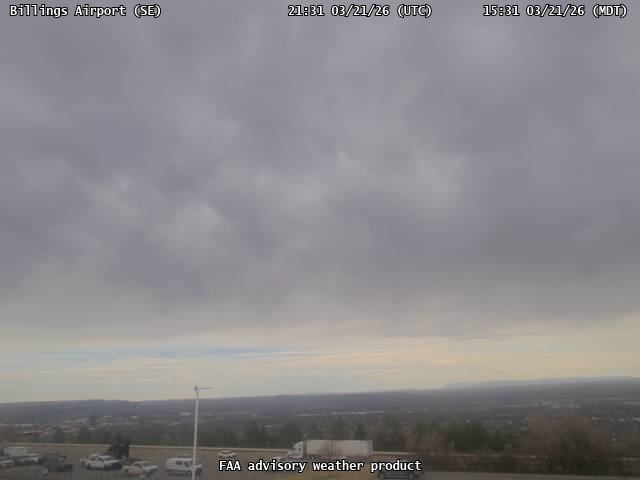
FAA weather camera at Billings Airport (N/A). View: SouthEast.
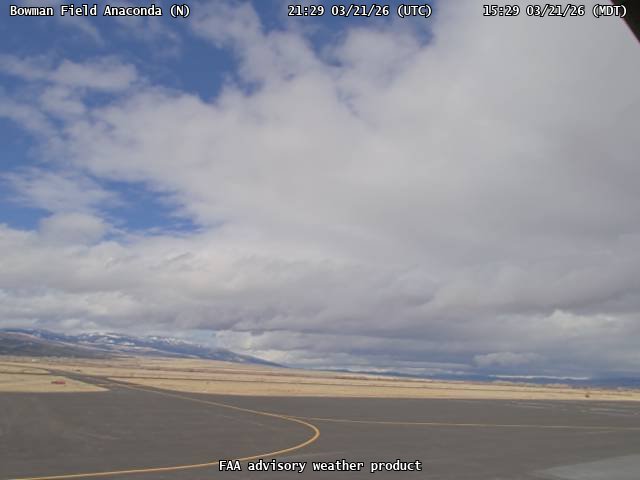
FAA weather camera at Bowman Field Anaconda (3U3). View: North.
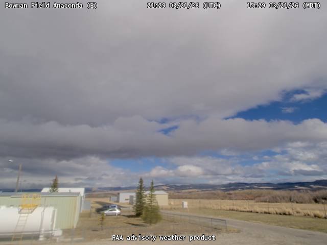
FAA weather camera at Bowman Field Anaconda (3U3). View: East.
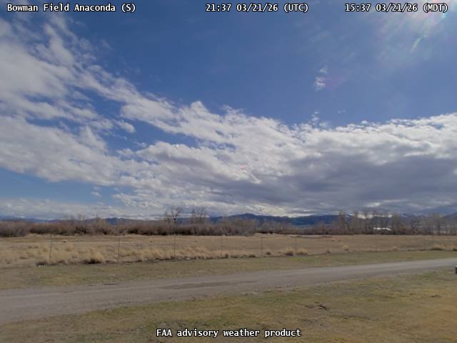
FAA weather camera at Bowman Field Anaconda (3U3). View: South.
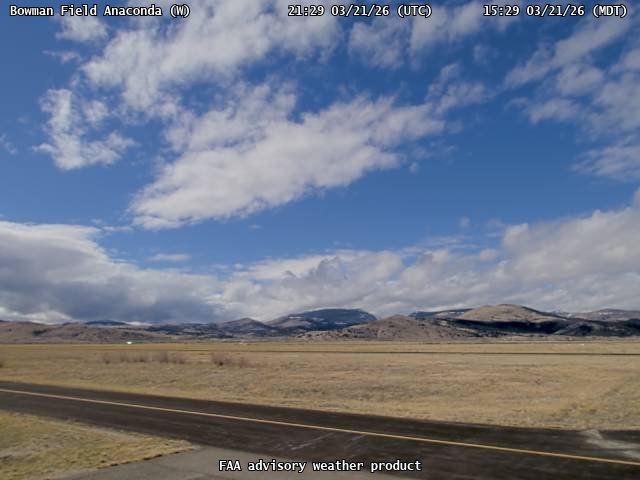
FAA weather camera at Bowman Field Anaconda (3U3). View: West.
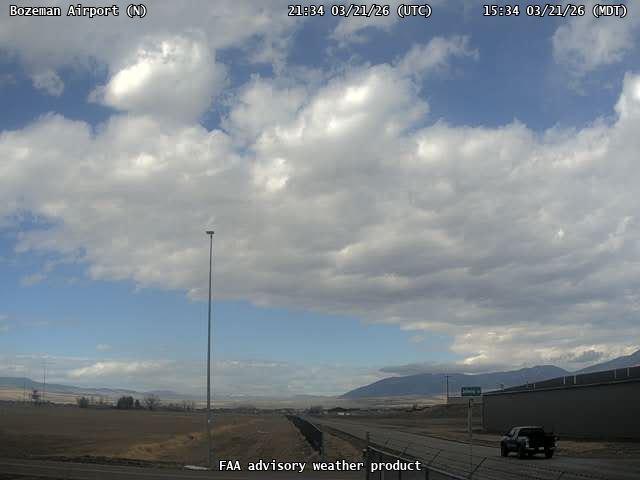
FAA weather camera at Bozeman Airport (KBZN). View: North.
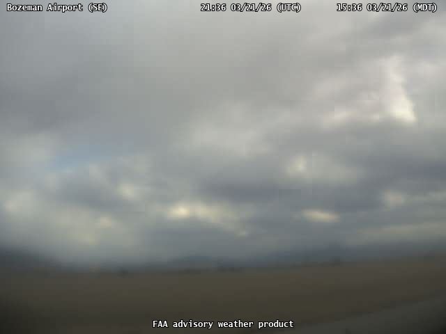
FAA weather camera at Bozeman Airport (KBZN). View: SouthEast.
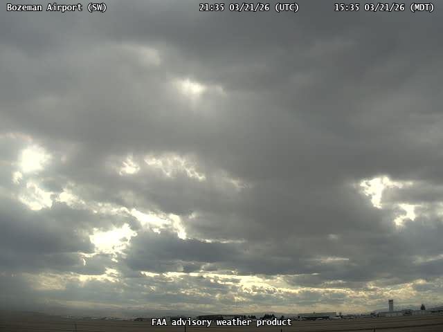
FAA weather camera at Bozeman Airport (KBZN). View: SouthWest.
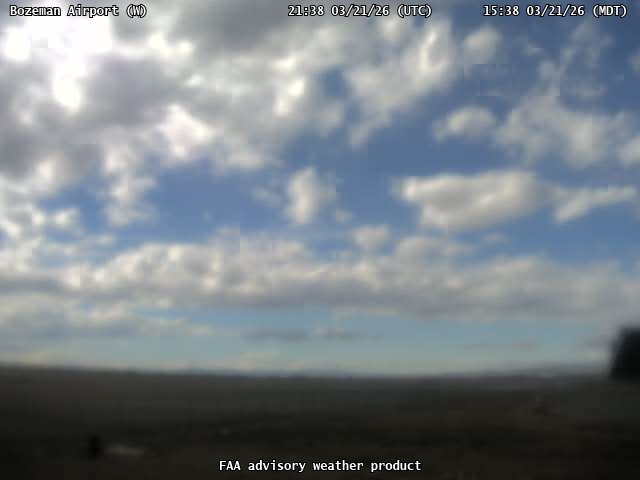
FAA weather camera at Bozeman Airport (KBZN). View: West.
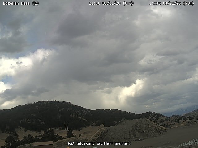
FAA weather camera at Bozeman Pass (N/A). View: East.
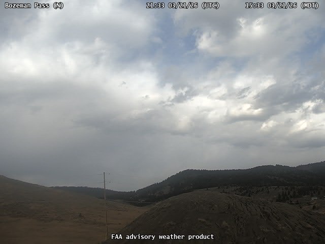
FAA weather camera at Bozeman Pass (N/A). View: North.
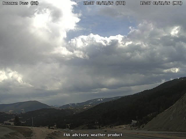
FAA weather camera at Bozeman Pass (N/A). View: SouthEast.
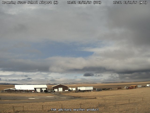
FAA weather camera at Browning Starr School Airport (8S0). View: North.
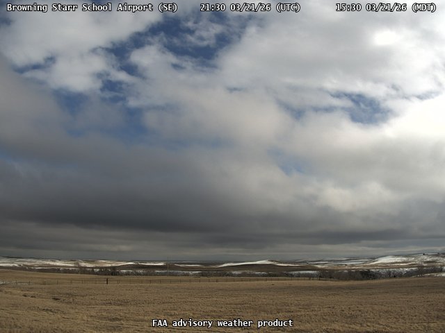
FAA weather camera at Browning Starr School Airport (8S0). View: SouthEast.
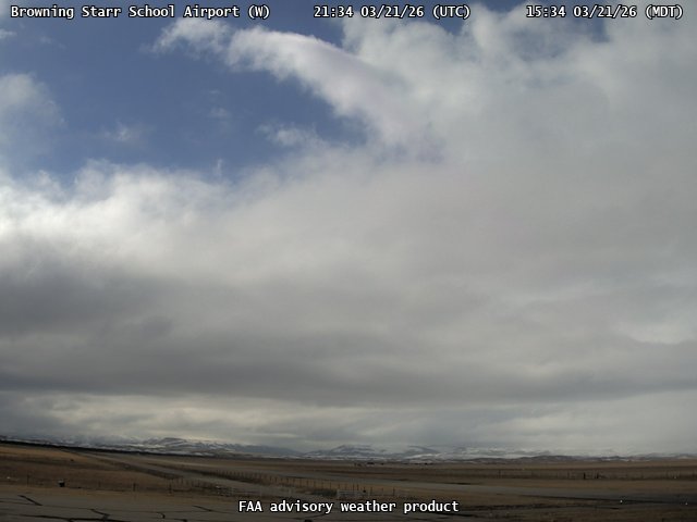
FAA weather camera at Browning Starr School Airport (8S0). View: West.
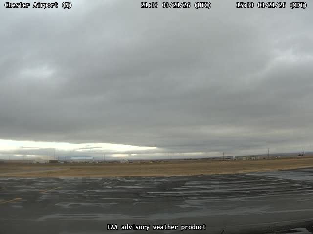
FAA weather camera at Chester Airport (LTY). View: North.
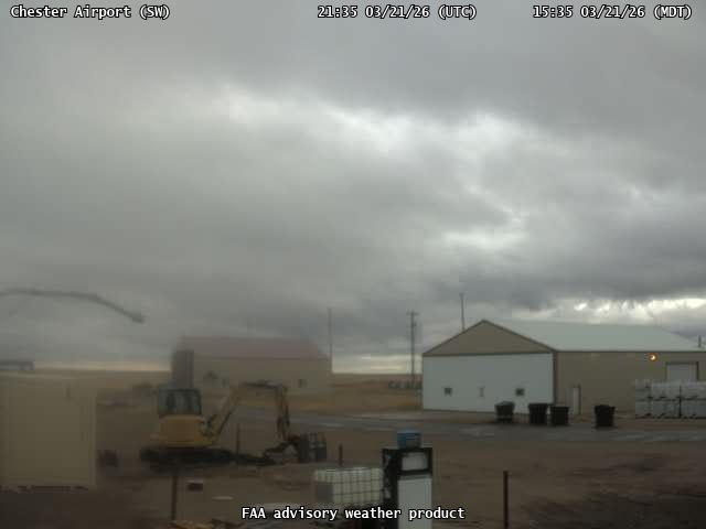
FAA weather camera at Chester Airport (LTY). View: SouthWest.
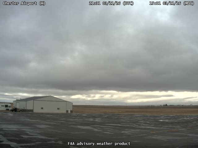
FAA weather camera at Chester Airport (LTY). View: West.
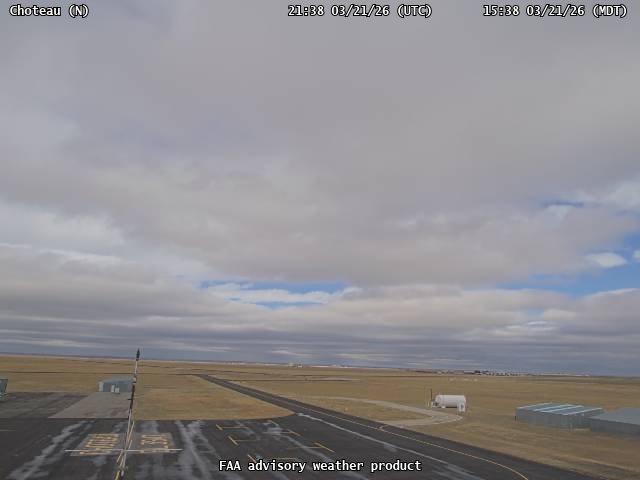
FAA weather camera at Choteau (CII). View: North.
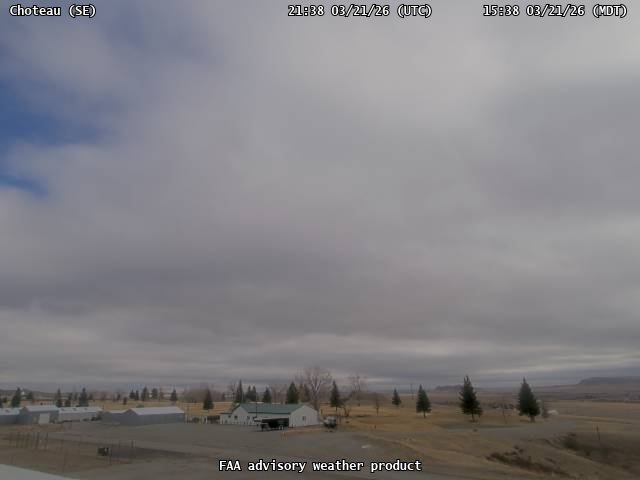
FAA weather camera at Choteau (CII). View: SouthEast.
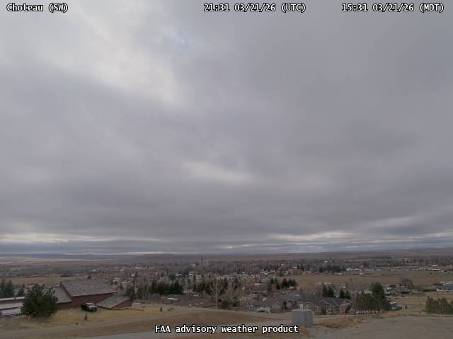
FAA weather camera at Choteau (CII). View: SouthWest.
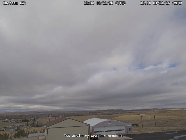
FAA weather camera at Choteau (CII). View: West.
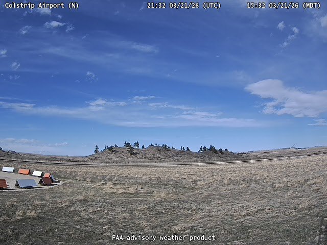
FAA weather camera at Colstrip Airport (M46). View: North.
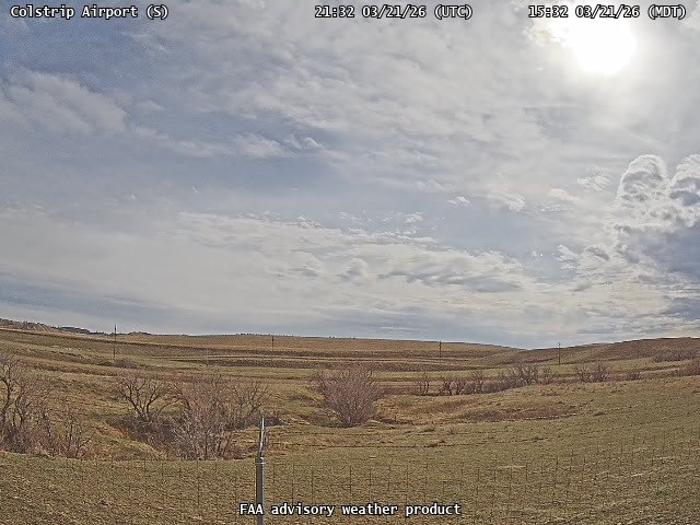
FAA weather camera at Colstrip Airport (M46). View: South.
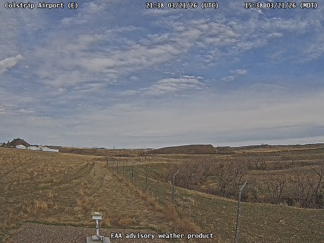
FAA weather camera at Colstrip Airport (M46). View: East.
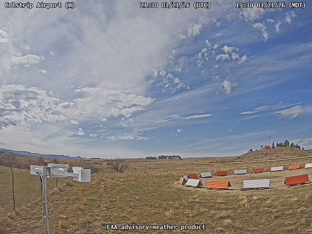
FAA weather camera at Colstrip Airport (M46). View: West.
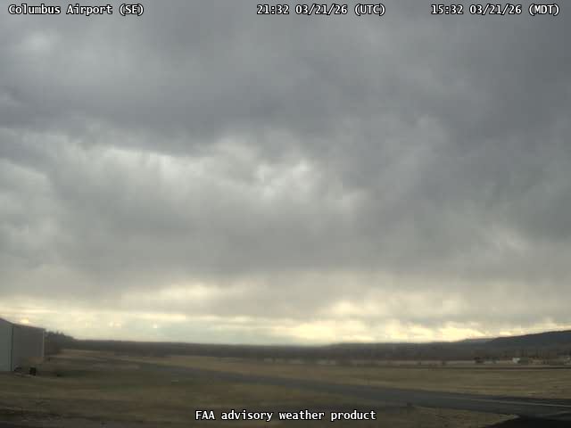
FAA weather camera at Columbus Airport (6S3). View: SouthEast.
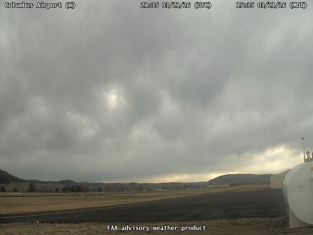
FAA weather camera at Columbus Airport (6S3). View: West.
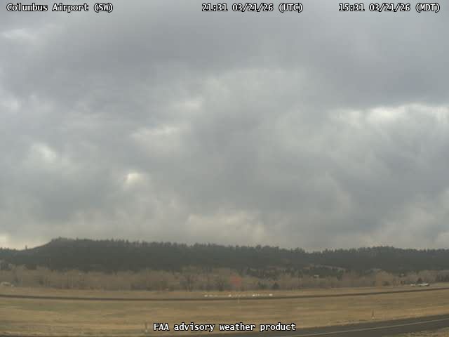
FAA weather camera at Columbus Airport (6S3). View: SouthWest.
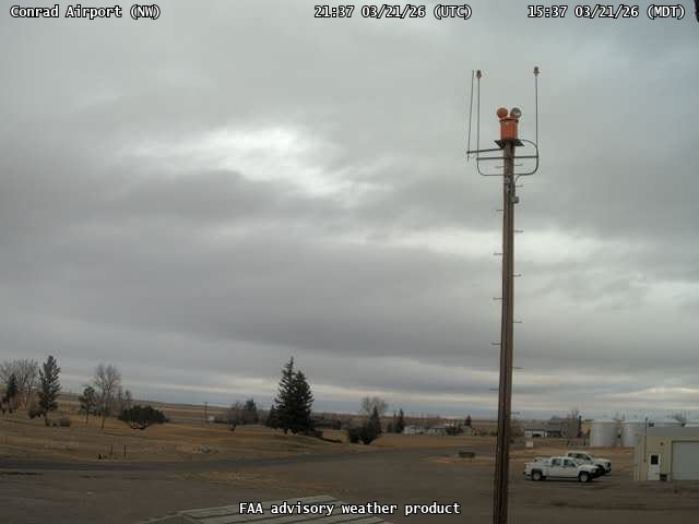
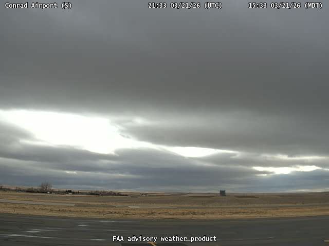
FAA weather camera at Conrad Airport (S01). View: NorthWest.
FAA weather camera at Conrad Airport (S01). View: South.
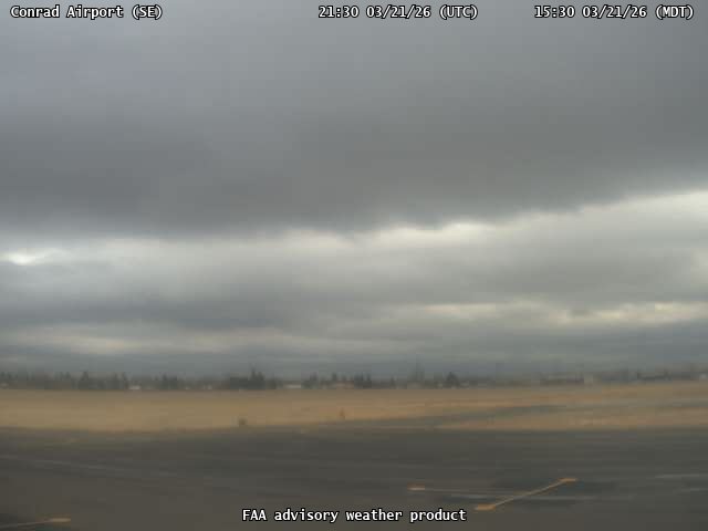
FAA weather camera at Conrad Airport (S01). View: SouthEast.
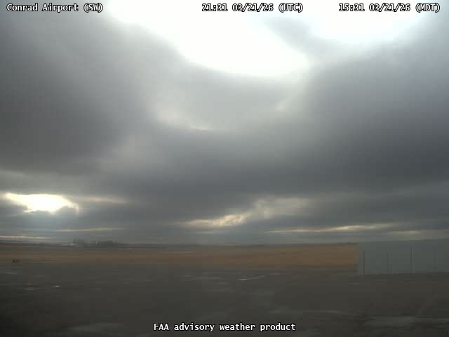
FAA weather camera at Conrad Airport (S01). View: SouthWest.

FAA weather camera at Cut Bank (CTB). View: NorthEast.
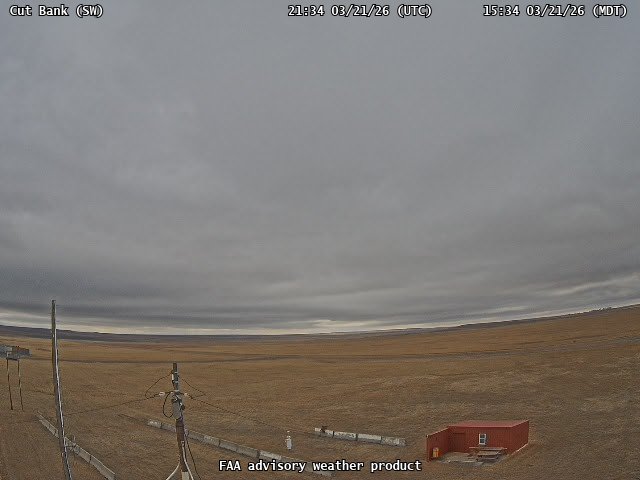
FAA weather camera at Cut Bank (CTB). View: SouthWest.
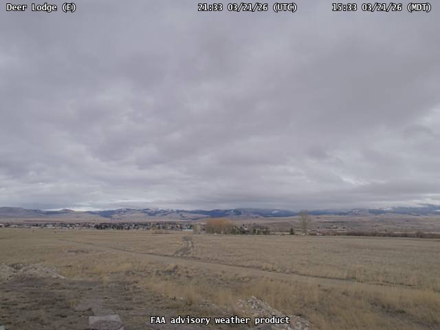
FAA weather camera at Deer Lodge (38S). View: East.
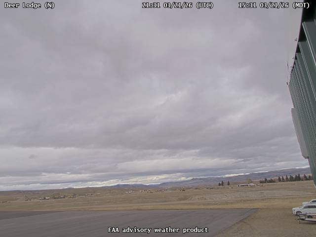
FAA weather camera at Deer Lodge (38S). View: North.
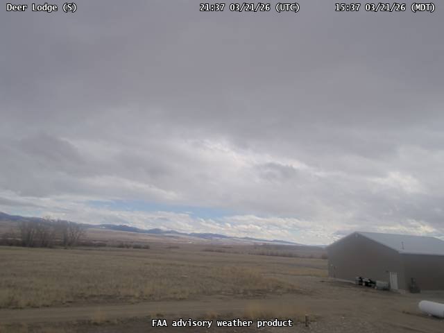
FAA weather camera at Deer Lodge (38S). View: South.
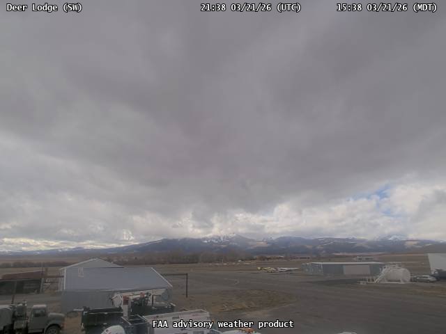
FAA weather camera at Deer Lodge (38S). View: SouthWest.
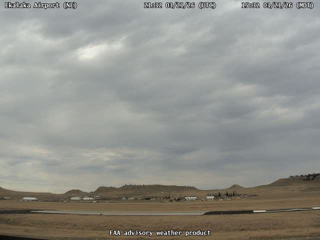
FAA weather camera at Ekalaka Airport (97M). View: NorthEast.
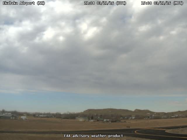
FAA weather camera at Ekalaka Airport (97M). View: NorthWest.
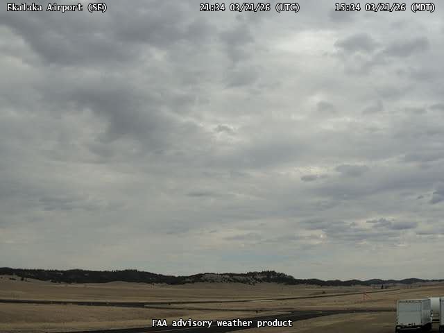
FAA weather camera at Ekalaka Airport (97M). View: SouthEast.
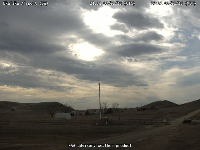
FAA weather camera at Ekalaka Airport (97M). View: SouthWest.
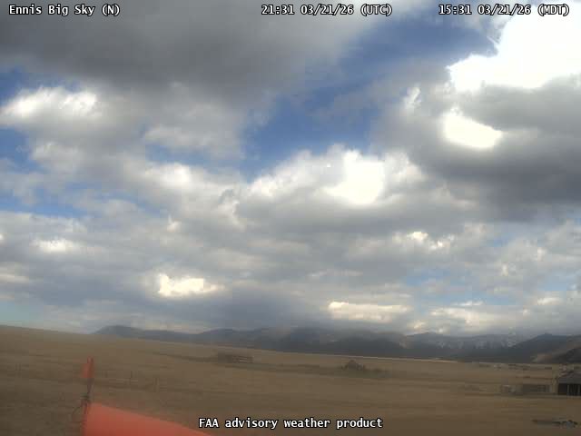
FAA weather camera at Ennis Big Sky (EKS). View: North.
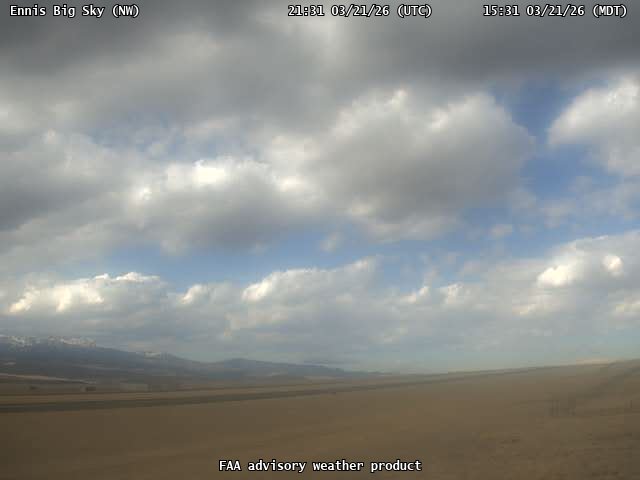
FAA weather camera at Ennis Big Sky (EKS). View: NorthWest.
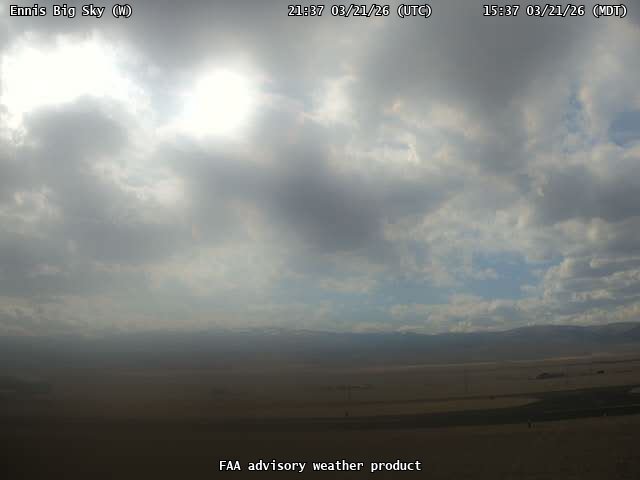
FAA weather camera at Ennis Big Sky (EKS). View: West.
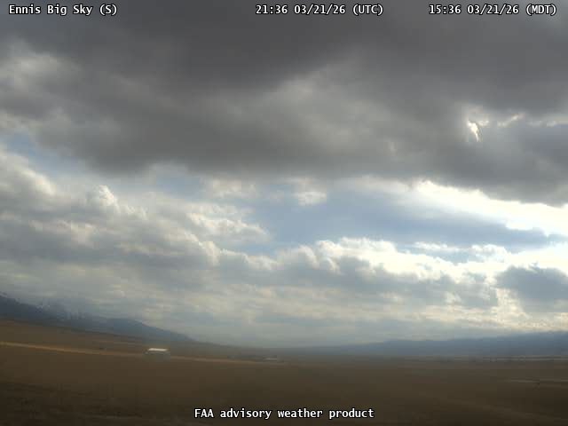
FAA weather camera at Ennis Big Sky (EKS). View: South.
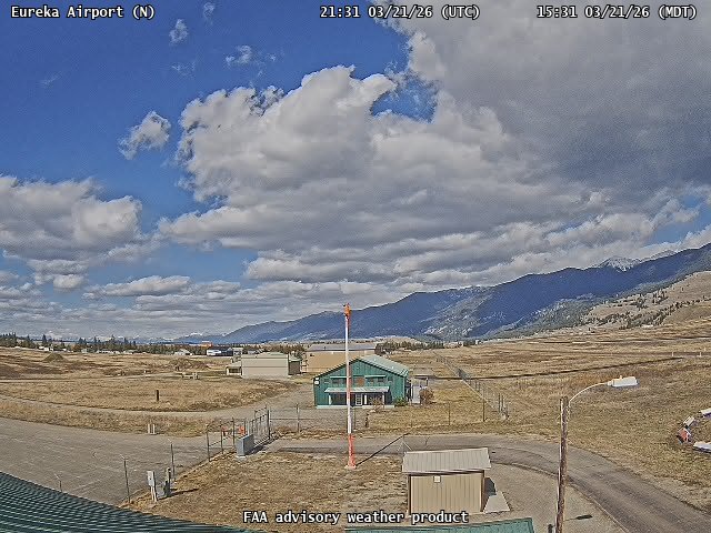
FAA weather camera at Eureka Airport (88M). View: North.
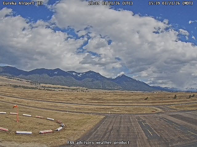
FAA weather camera at Eureka Airport (88M). View: East.
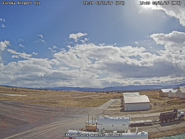
FAA weather camera at Eureka Airport (88M). View: South.

FAA weather camera at Eureka Airport (88M). View: West.
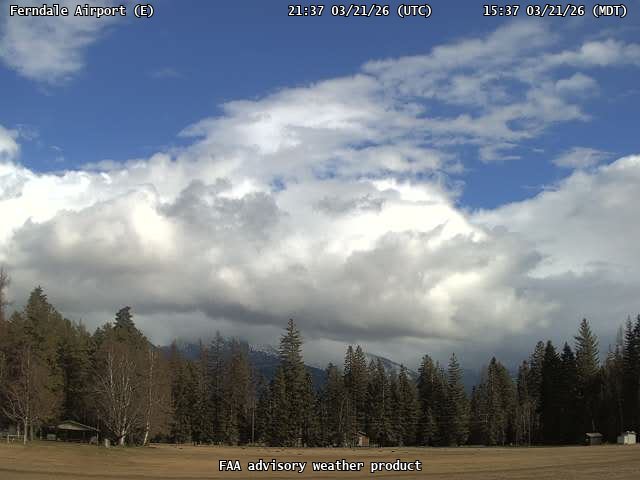
FAA weather camera at Ferndale Airport (53U). View: East.
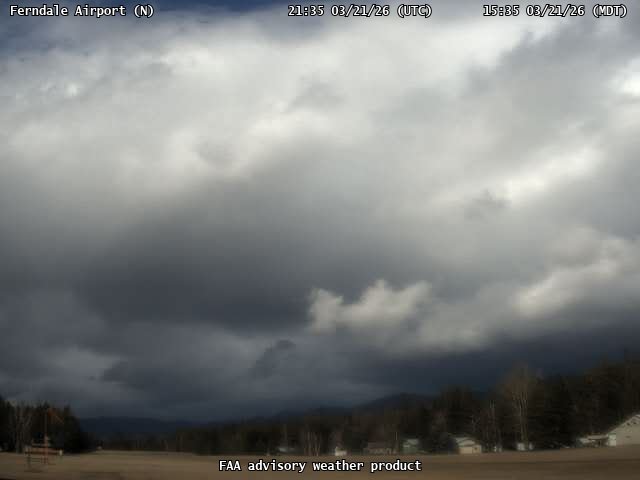
FAA weather camera at Ferndale Airport (53U). View: North.
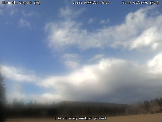
FAA weather camera at Ferndale Airport (53U). View: NorthWest.
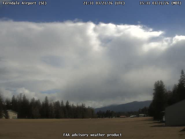
FAA weather camera at Ferndale Airport (53U). View: SouthEast.
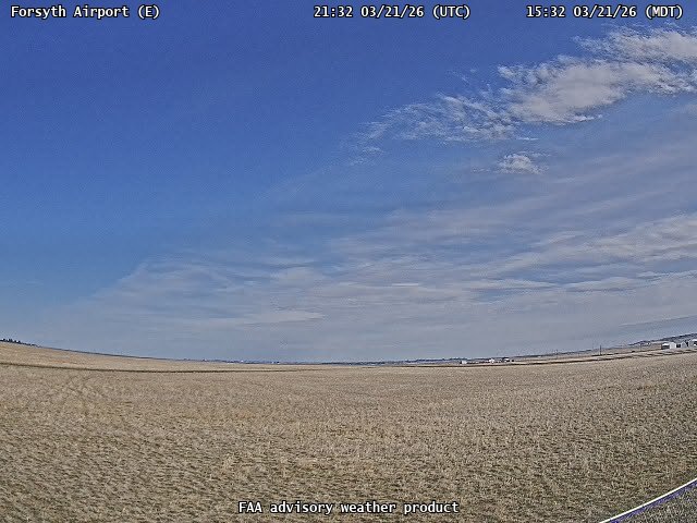
FAA weather camera at Forsyth Airport (1S3). View: East.
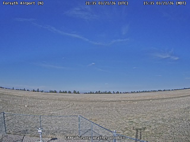
FAA weather camera at Forsyth Airport (1S3). View: North.
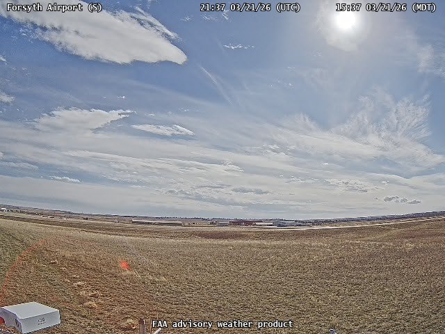
FAA weather camera at Forsyth Airport (1S3). View: South.
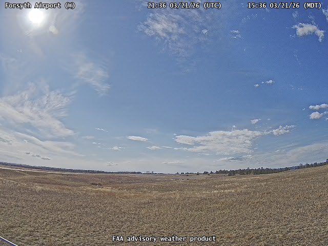
FAA weather camera at Forsyth Airport (1S3). View: West.

FAA weather camera at Fort Benton (79S). View: East.
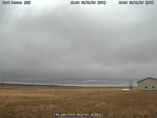
FAA weather camera at Fort Benton (79S). View: NorthEast.
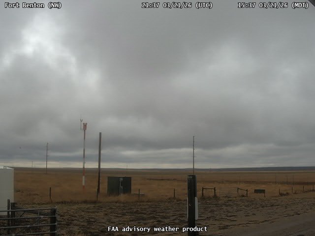
FAA weather camera at Fort Benton (79S). View: NorthWest.
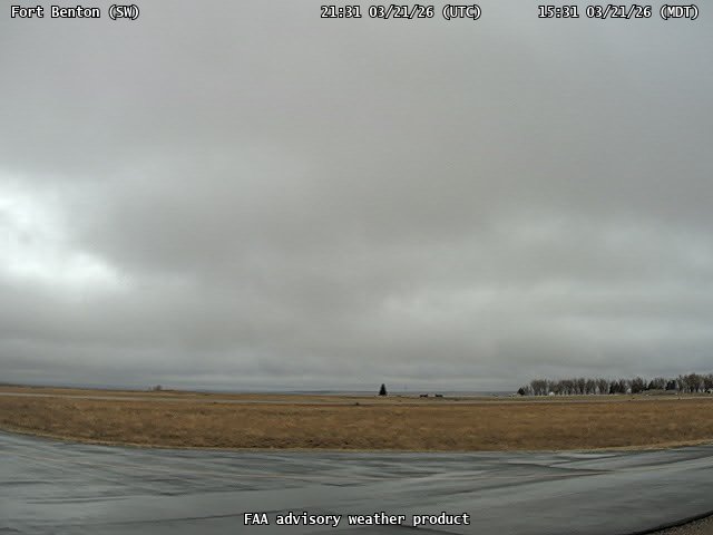
FAA weather camera at Fort Benton (79S). View: SouthWest.
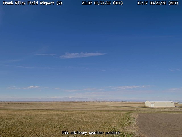
FAA weather camera at Frank Wiley Field Airport (MLS). View: North.
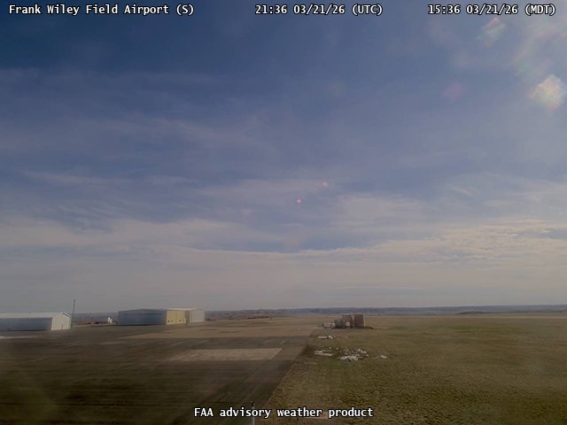
FAA weather camera at Frank Wiley Field Airport (MLS). View: South.
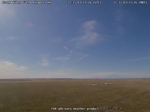
FAA weather camera at Frank Wiley Field Airport (MLS). View: West.
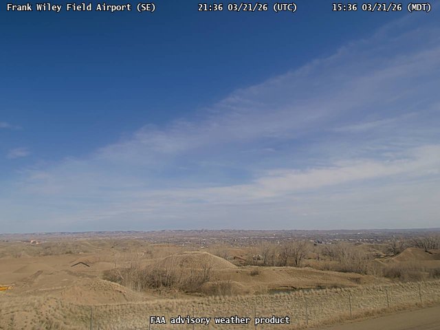
FAA weather camera at Frank Wiley Field Airport (MLS). View: SouthEast.
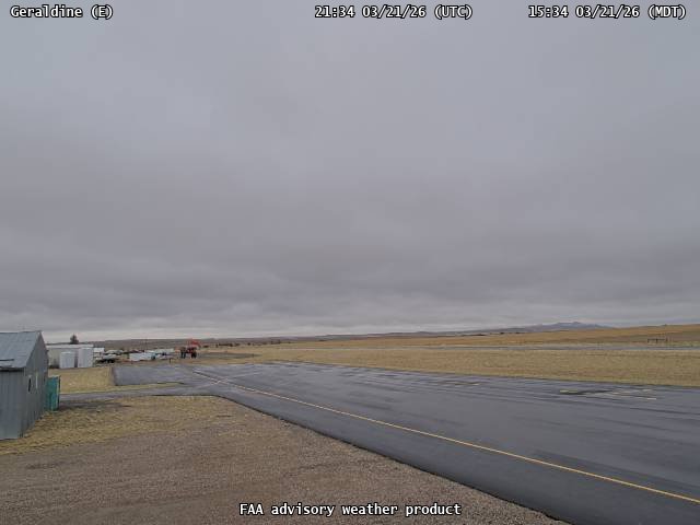
FAA weather camera at Geraldine (5U8). View: East.
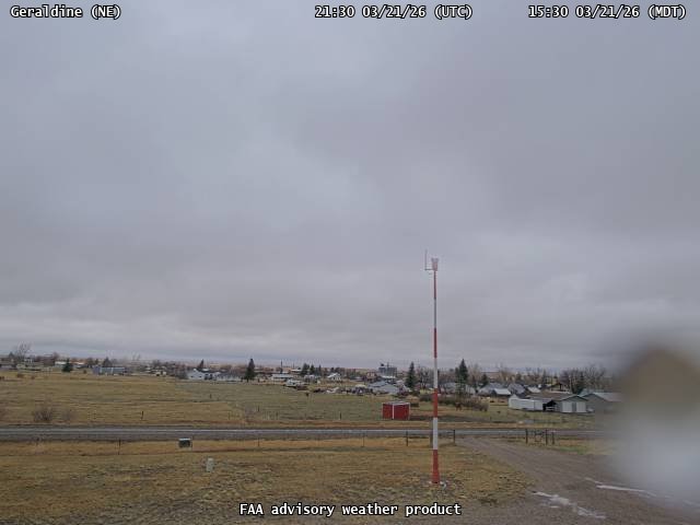
FAA weather camera at Geraldine (5U8). View: NorthEast.
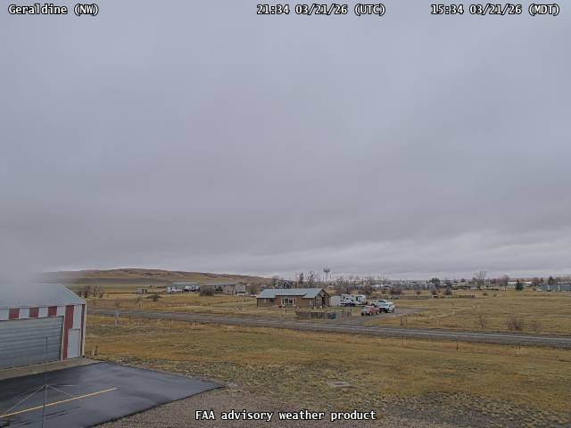
FAA weather camera at Geraldine (5U8). View: NorthWest.
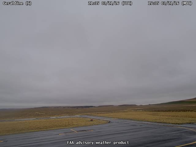
FAA weather camera at Geraldine (5U8). View: South.

FAA weather camera at Glasgow Valley Airport (KGGW). View: East.

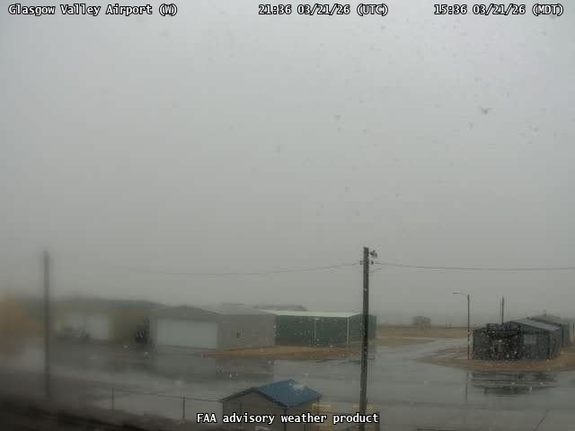
FAA weather camera at Glasgow Valley Airport (KGGW). View: North.

FAA weather camera at Glasgow Valley Airport (KGGW). View: South.
FAA weather camera at Glasgow Valley Airport (KGGW). View: West.
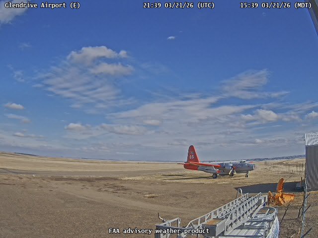
FAA weather camera at Glendrive Airport (GDV). View: East.
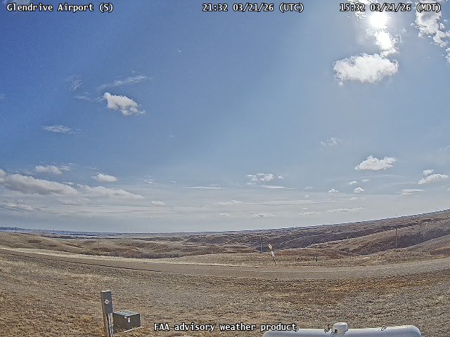
FAA weather camera at Glendrive Airport (GDV). View: South.
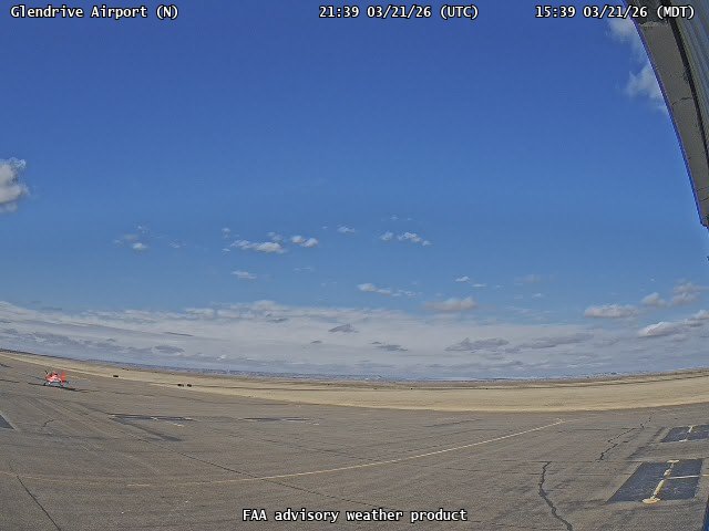
FAA weather camera at Glendrive Airport (GDV). View: North.
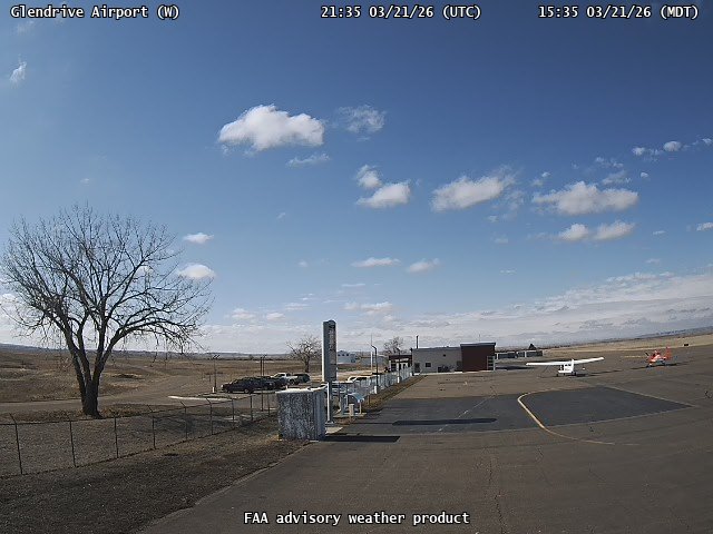
FAA weather camera at Glendrive Airport (GDV). View: West.
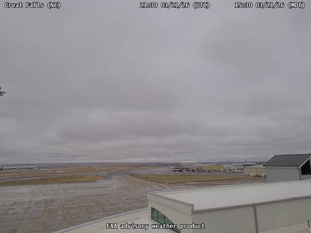
FAA weather camera at Great Falls (GTF). View: NorthEast.
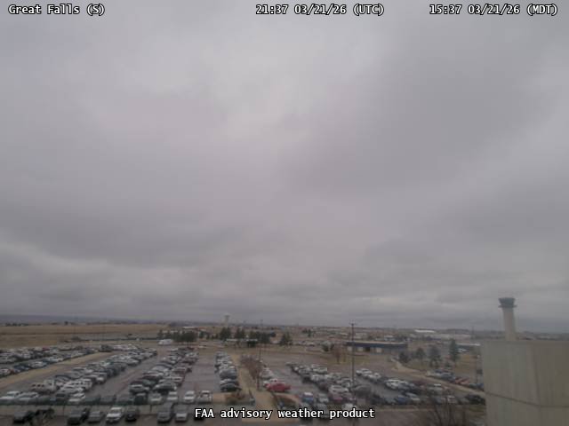
FAA weather camera at Great Falls (GTF). View: South.
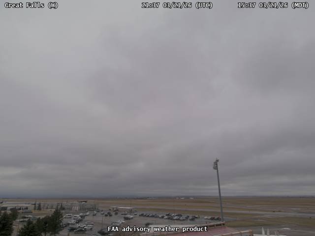
FAA weather camera at Great Falls (GTF). View: West.
FAA weather camera at Hamilton Airport (6S5). View: NorthEast.
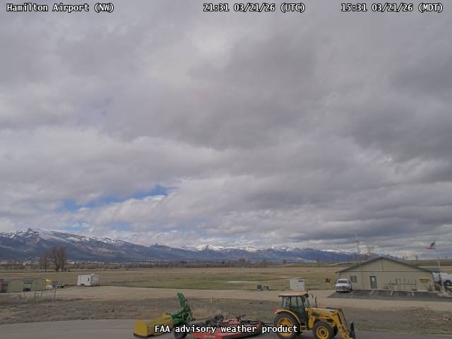
FAA weather camera at Hamilton Airport (6S5). View: NorthWest.
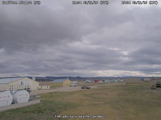
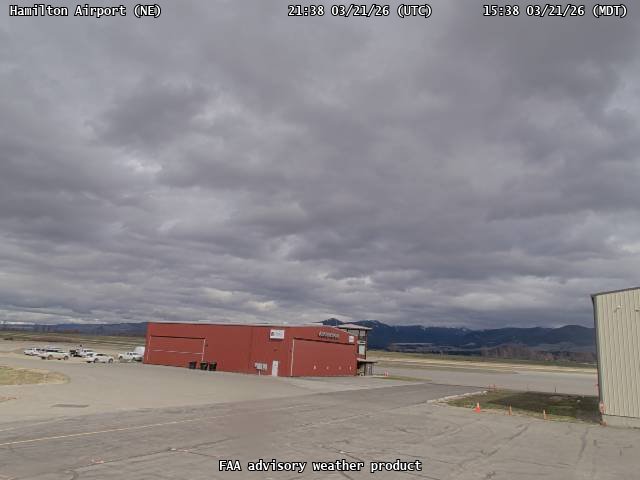
FAA weather camera at Hamilton Airport (6S5). View: SouthEast.
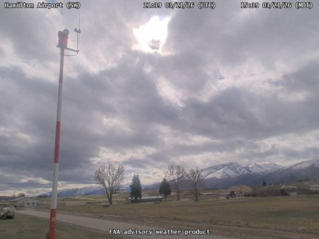
FAA weather camera at Hamilton Airport (6S5). View: SouthWest.
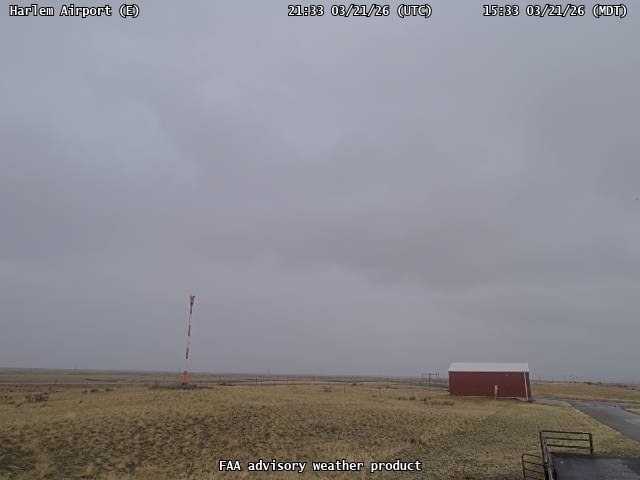
FAA weather camera at Harlem Airport (48S). View: East.
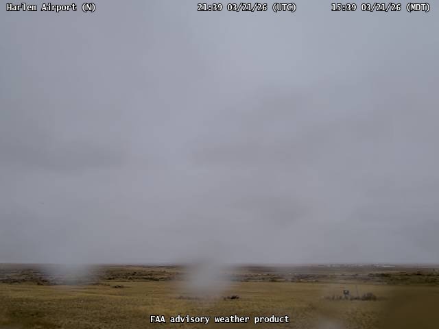
FAA weather camera at Harlem Airport (48S). View: North.
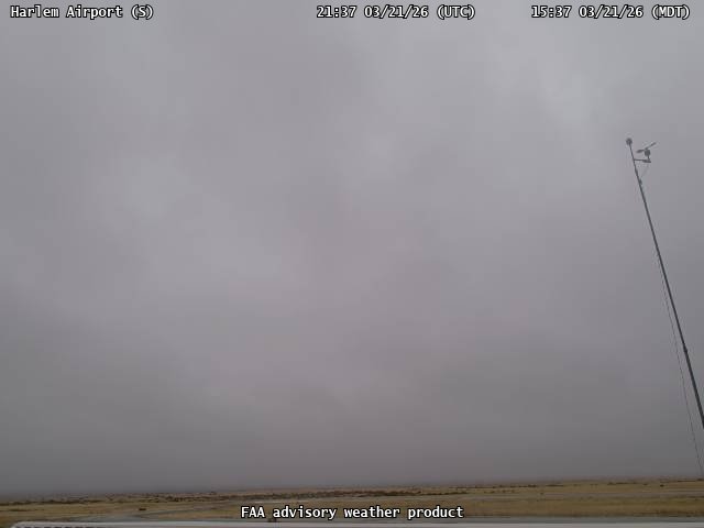
FAA weather camera at Harlem Airport (48S). View: South.
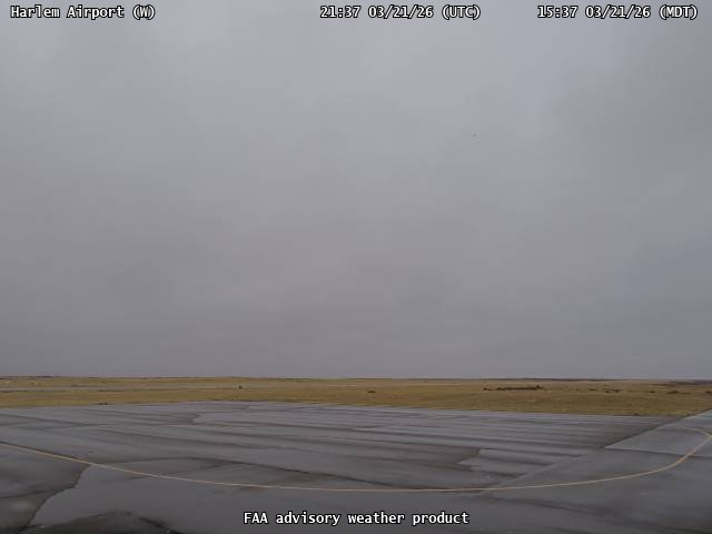
FAA weather camera at Harlem Airport (48S). View: West.
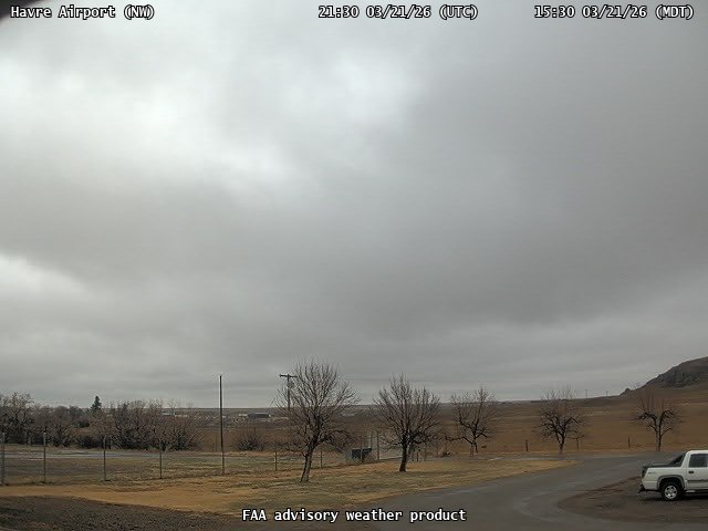
FAA weather camera at Havre Airport (HVR). View: NorthWest.
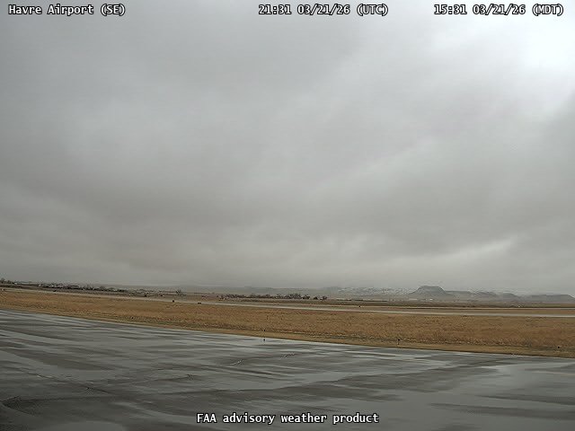
FAA weather camera at Havre Airport (HVR). View: SouthEast.
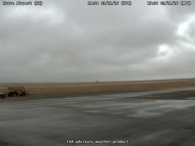
FAA weather camera at Havre Airport (HVR). View: SouthWest.
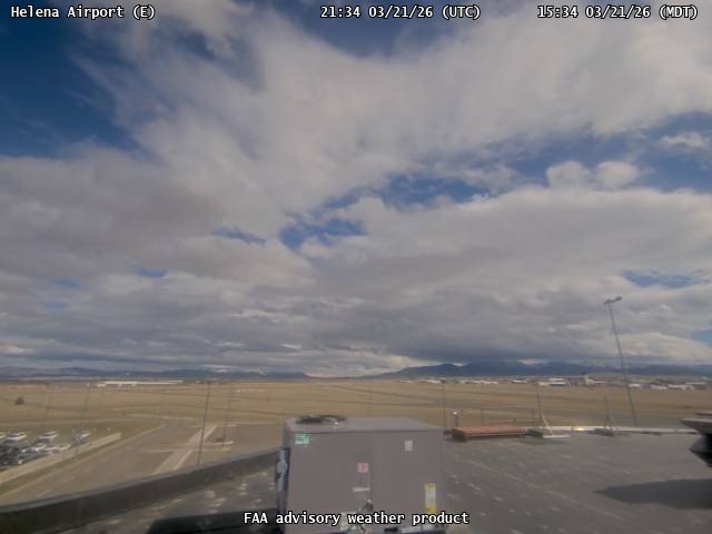
FAA weather camera at Helena Airport (HLN). View: East.
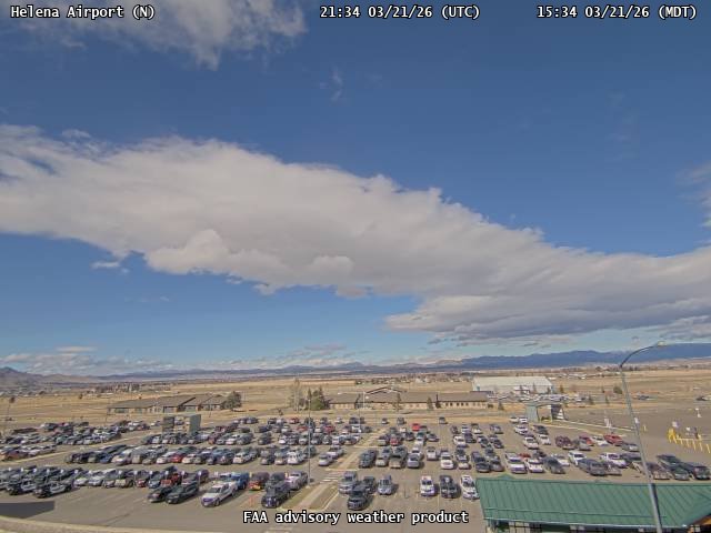
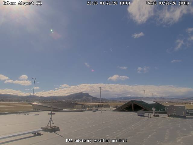
FAA weather camera at Helena Airport (HLN). View: North.
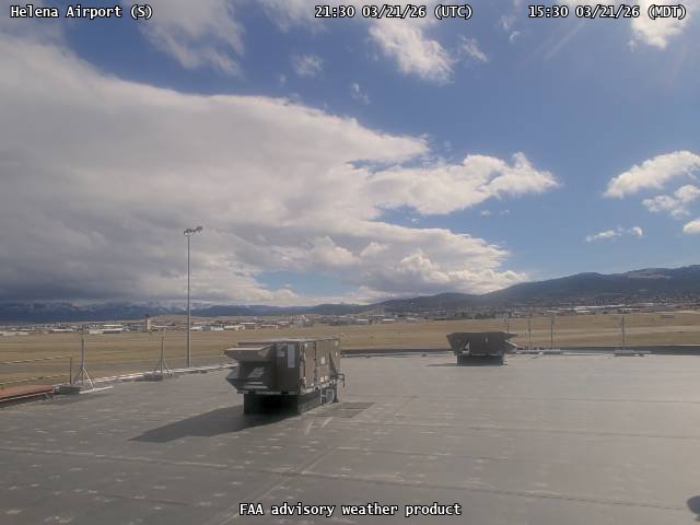
FAA weather camera at Helena Airport (HLN). View: South.
FAA weather camera at Helena Airport (HLN). View: West.
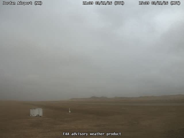
FAA weather camera at Jordan Airport (JDN). View: NorthWest.
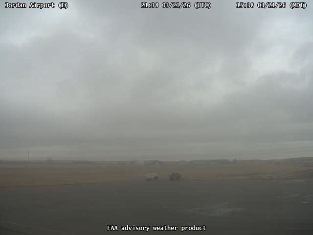
FAA weather camera at Jordan Airport (JDN). View: East.
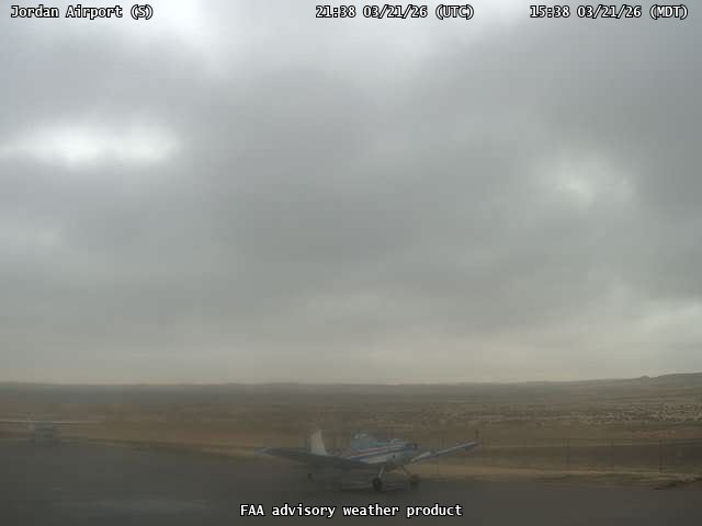
FAA weather camera at Jordan Airport (JDN). View: South.
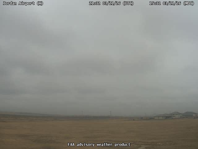
FAA weather camera at Jordan Airport (JDN). View: West.
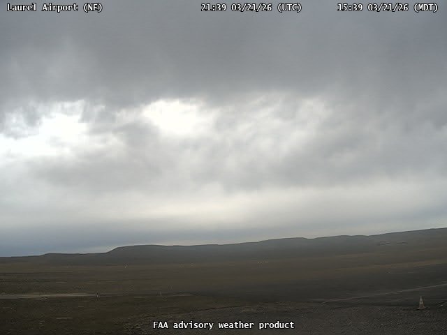
FAA weather camera at Laurel Airport (6S8). View: NorthEast.
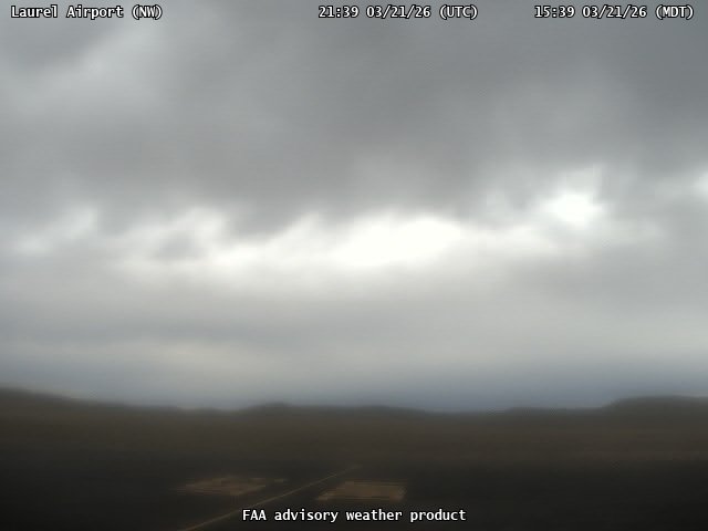
FAA weather camera at Laurel Airport (6S8). View: NorthWest.
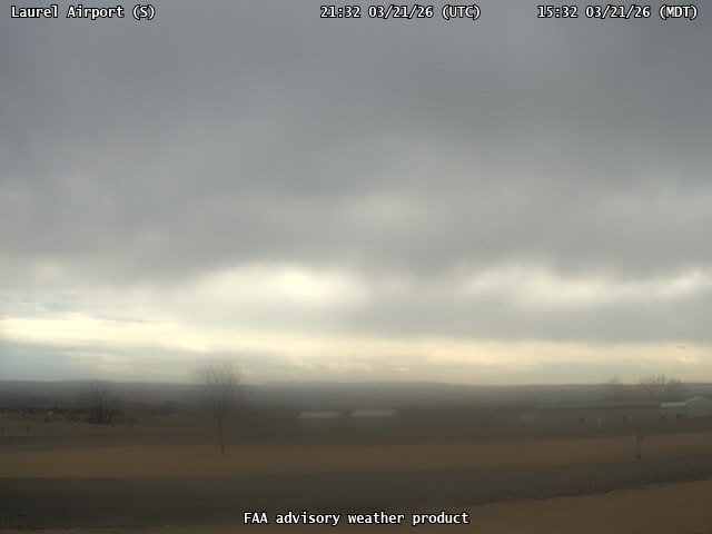
FAA weather camera at Laurel Airport (6S8). View: South.
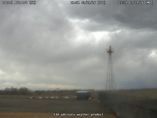
FAA weather camera at Laurel Airport (6S8). View: SouthWest.
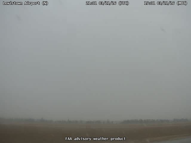
FAA weather camera at Lewistown Airport (LWT). View: North.
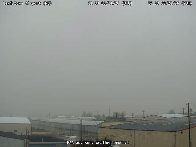
FAA weather camera at Lewistown Airport (LWT). View: NorthEast.
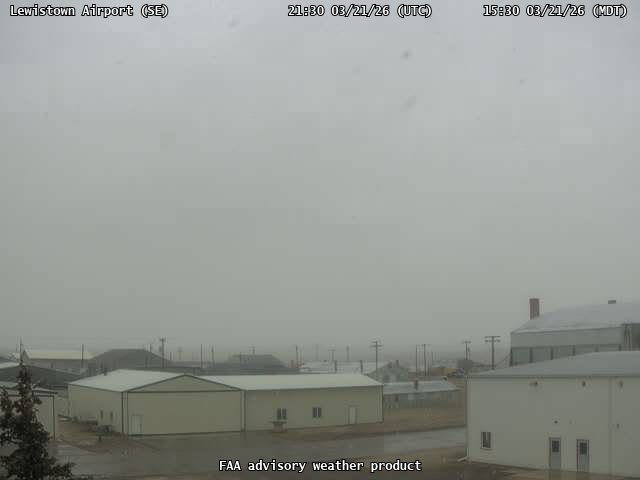
FAA weather camera at Lewistown Airport (LWT). View: SouthEast.
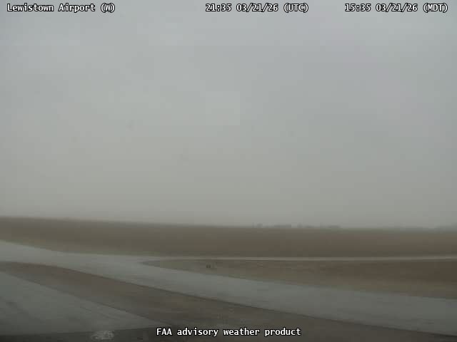
FAA weather camera at Lewistown Airport (LWT). View: West.
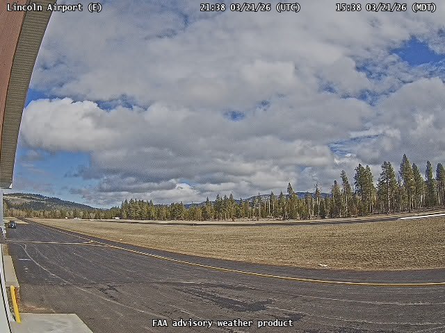
FAA weather camera at Lincoln Airport (S69). View: East.
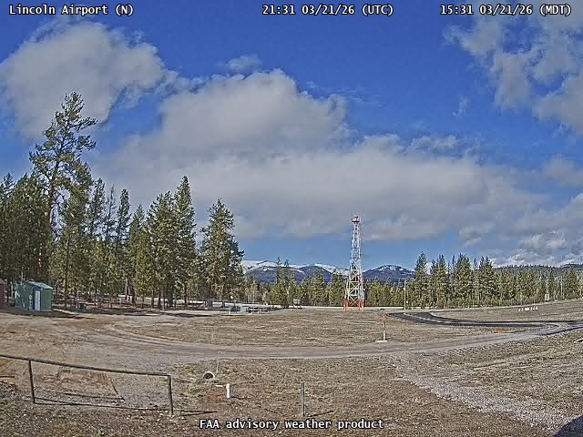
FAA weather camera at Lincoln Airport (S69). View: North.
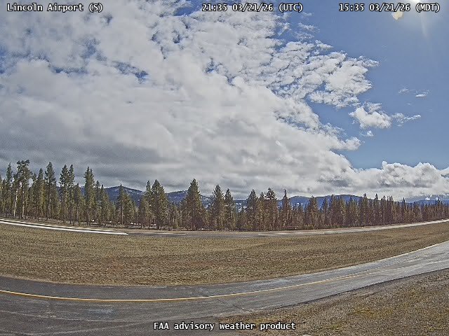
FAA weather camera at Lincoln Airport (S69). View: South.

FAA weather camera at Lincoln Airport (S69). View: SouthWest.
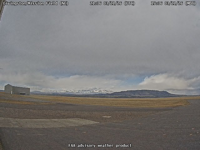
FAA weather camera at Livingston/Mission Field (LVM). View: NorthEast.
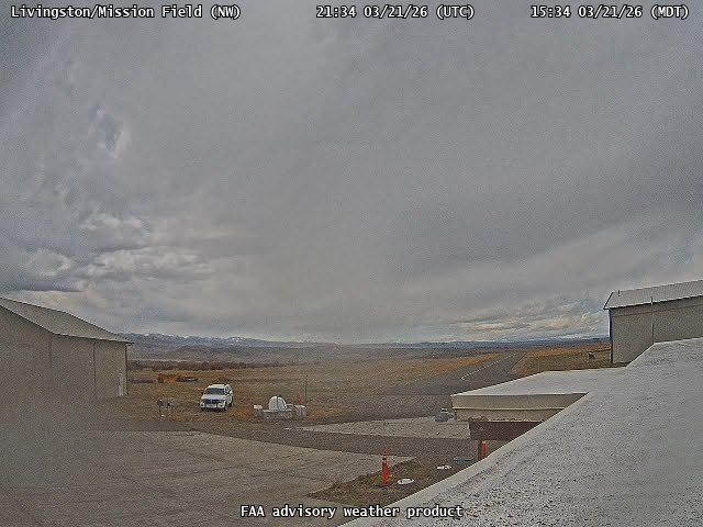
FAA weather camera at Livingston/Mission Field (LVM). View: NorthWest.
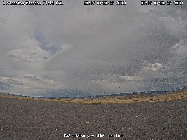
FAA weather camera at Livingston/Mission Field (LVM). View: SouthEast.
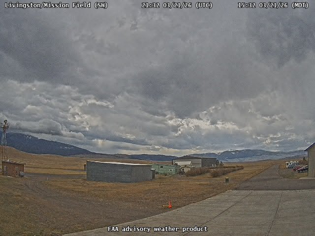
FAA weather camera at Livingston/Mission Field (LVM). View: SouthWest.
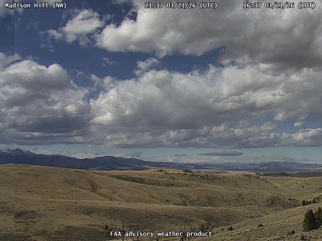
FAA weather camera at Madison Hill (N/A). View: NorthWest.
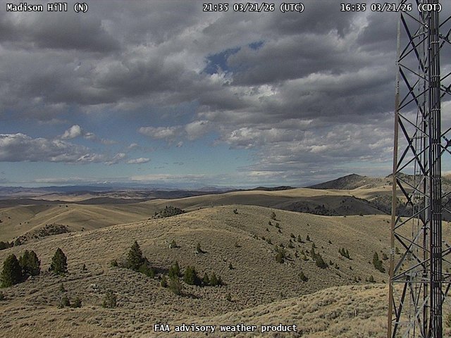
FAA weather camera at Madison Hill (N/A). View: North.
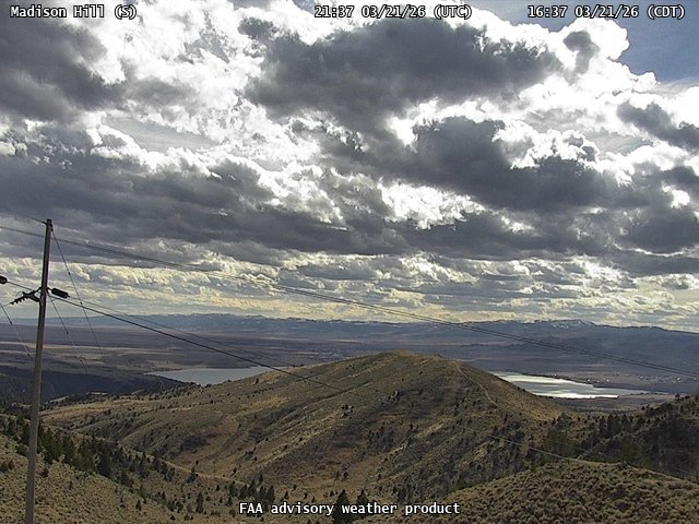
FAA weather camera at Madison Hill (N/A). View: South.
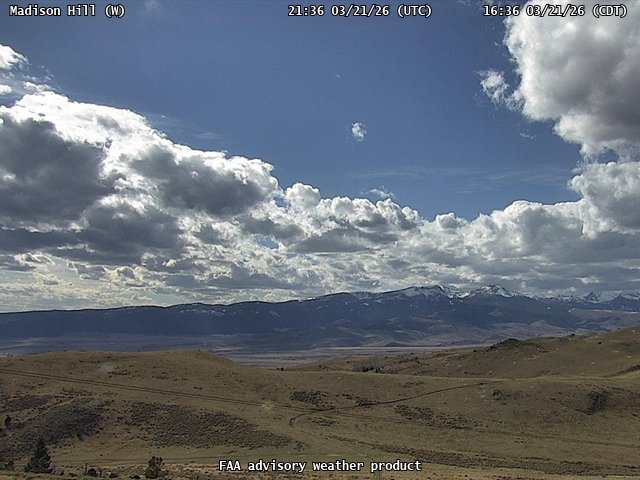
FAA weather camera at Madison Hill (N/A). View: West.
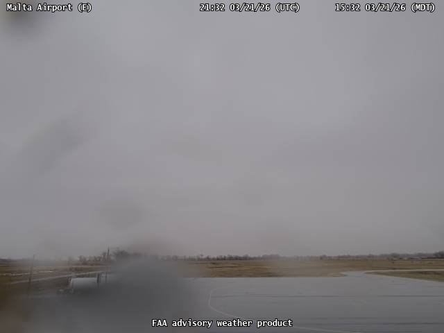
FAA weather camera at Malta Airport (M75). View: East.
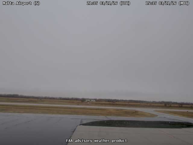
FAA weather camera at Malta Airport (M75). View: South.
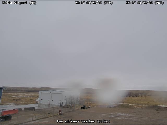
FAA weather camera at Malta Airport (M75). View: NorthWest.
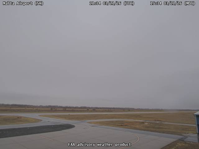
FAA weather camera at Malta Airport (M75). View: SouthWest.
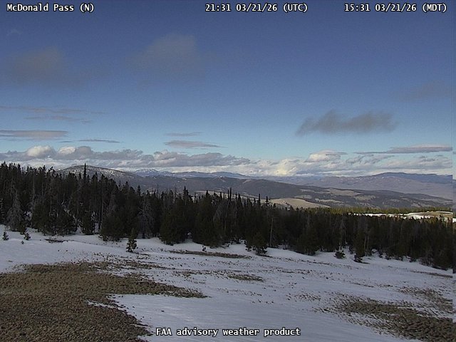
FAA weather camera at McDonald Pass (N/A). View: North.
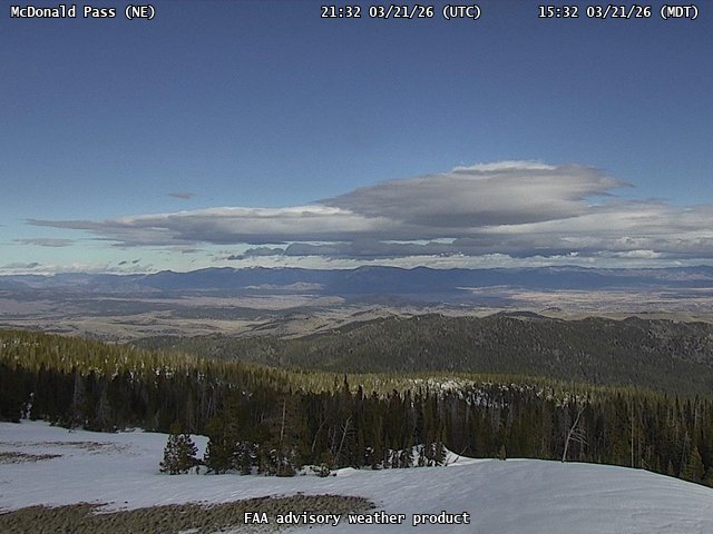
FAA weather camera at McDonald Pass (N/A). View: NorthEast.
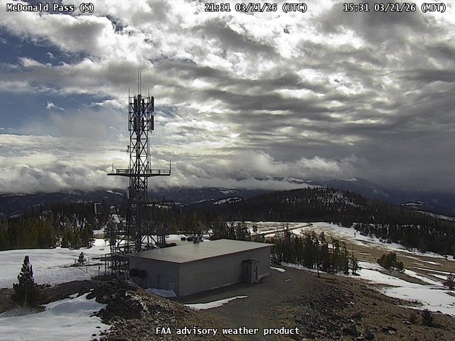
FAA weather camera at McDonald Pass (N/A). View: South.
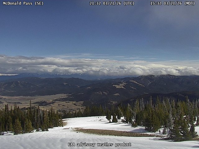
FAA weather camera at McDonald Pass (N/A). View: SouthEast.
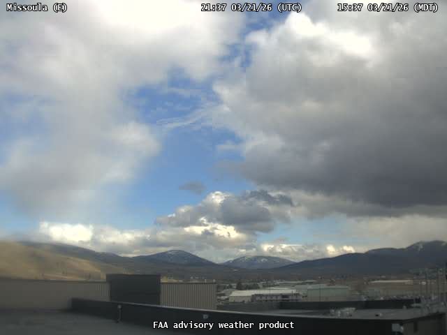
FAA weather camera at Missoula (MSO). View: East.
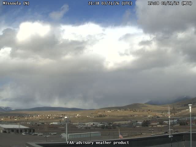
FAA weather camera at Missoula (MSO). View: North.
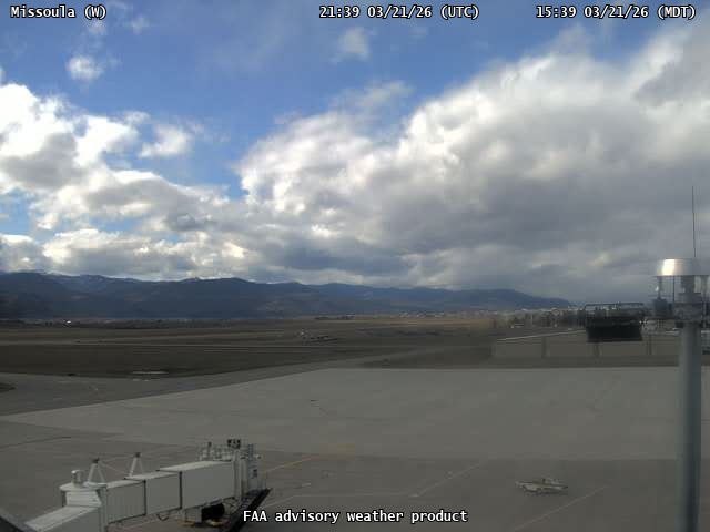
FAA weather camera at Missoula (MSO). View: West.
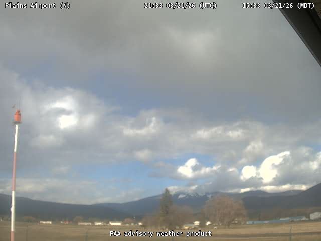
FAA weather camera at Plains Airport (S34). View: North.
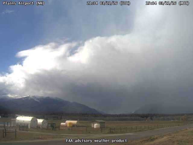
FAA weather camera at Plains Airport (S34). View: NorthWest.
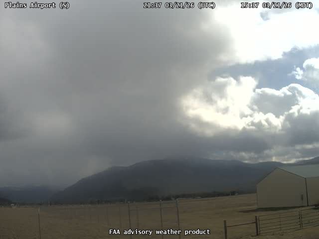
FAA weather camera at Plains Airport (S34). View: South.
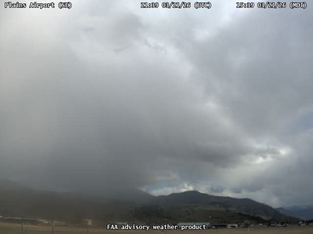
FAA weather camera at Plains Airport (S34). View: SouthEast.
FAA weather camera at Polson Airport (8S1). View: North.
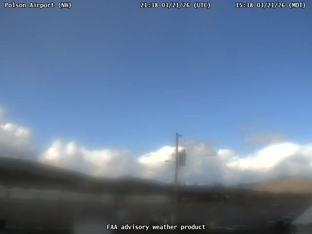
FAA weather camera at Polson Airport (8S1). View: NorthWest.
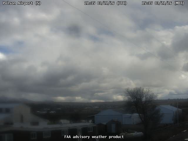
FAA weather camera at Polson Airport (8S1). View: South.
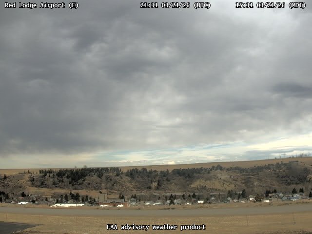
FAA weather camera at Red Lodge Airport (N/A). View: East.
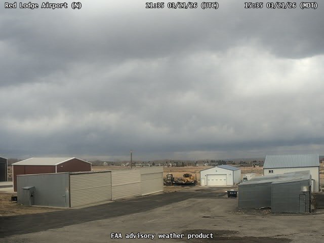
FAA weather camera at Red Lodge Airport (N/A). View: North.
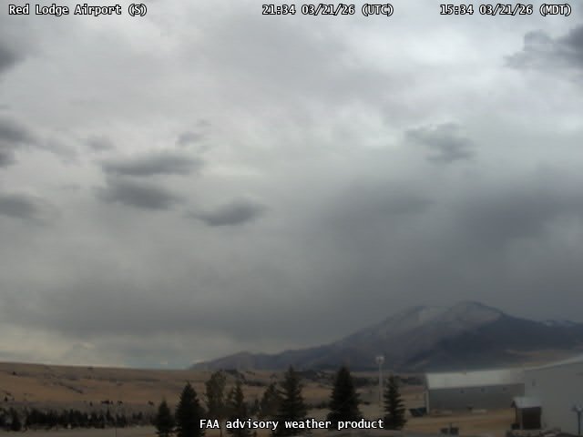
FAA weather camera at Red Lodge Airport (N/A). View: South.
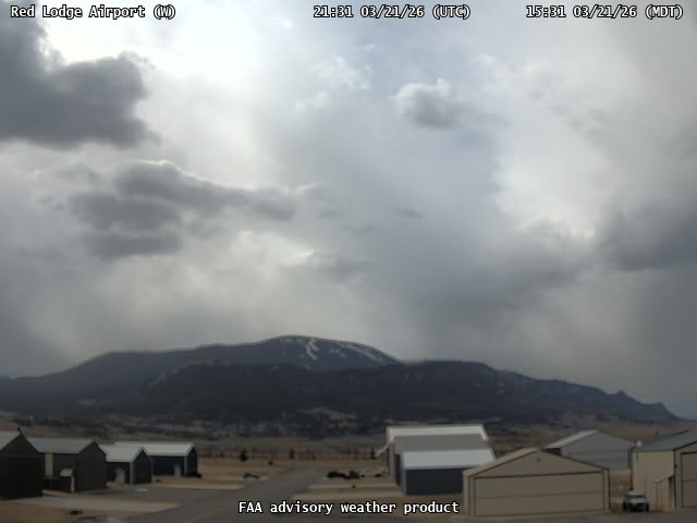
FAA weather camera at Red Lodge Airport (N/A). View: West.
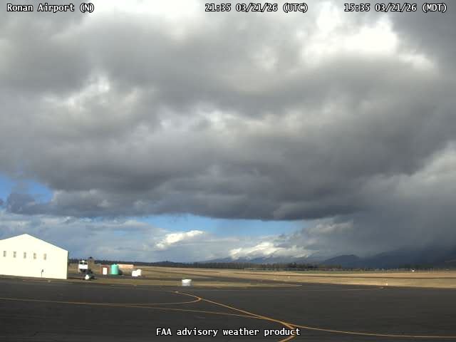
FAA weather camera at Ronan Airport (7S0). View: North.
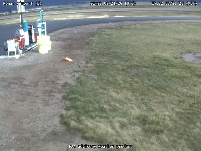
FAA weather camera at Ronan Airport (7S0). View: East.
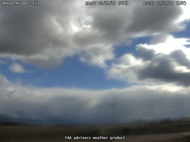
FAA weather camera at Ronan Airport (7S0). View: South.
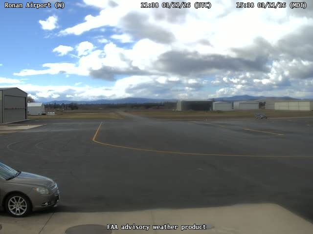
FAA weather camera at Ronan Airport (7S0). View: West.
FAA weather camera at Scobey Airport (9S2). View: East.
FAA weather camera at Scobey Airport (9S2). View: North.
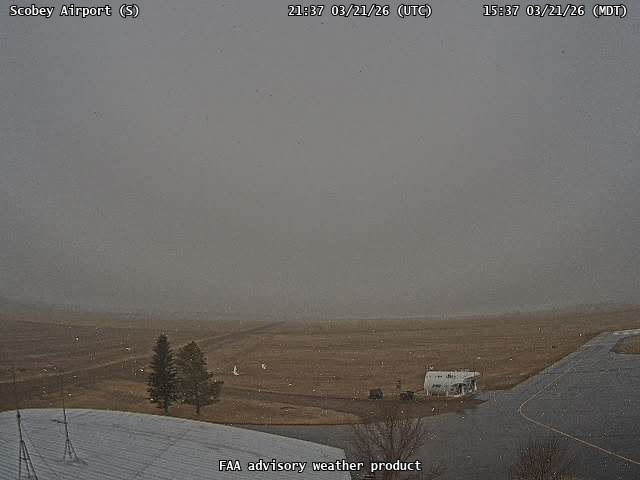
FAA weather camera at Scobey Airport (9S2). View: South.
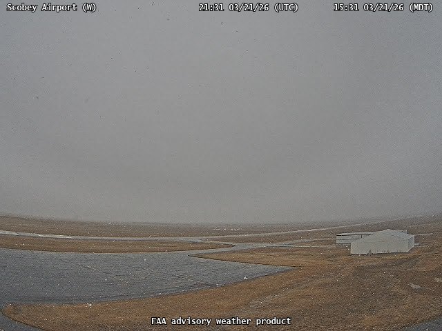
FAA weather camera at Scobey Airport (9S2). View: West.
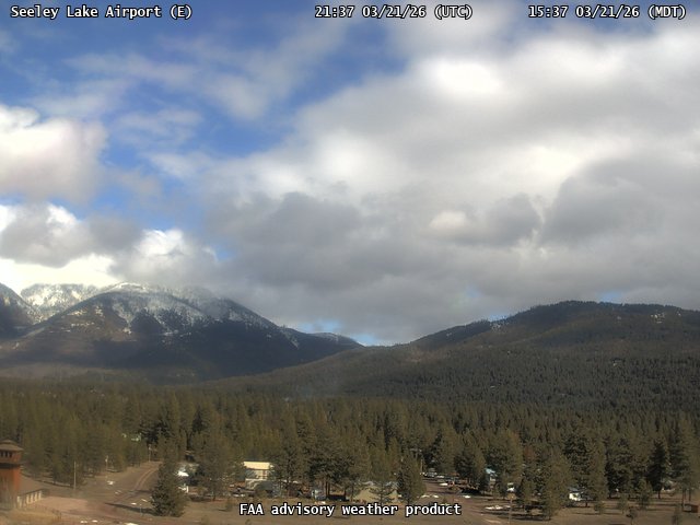
FAA weather camera at Seeley Lake Airport (23S). View: East.
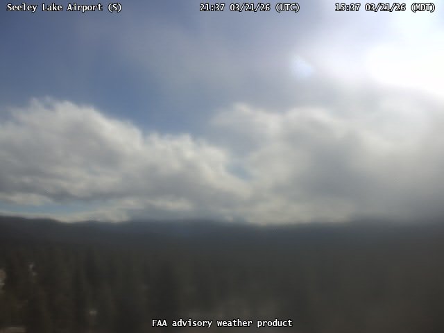
FAA weather camera at Seeley Lake Airport (23S). View: South.
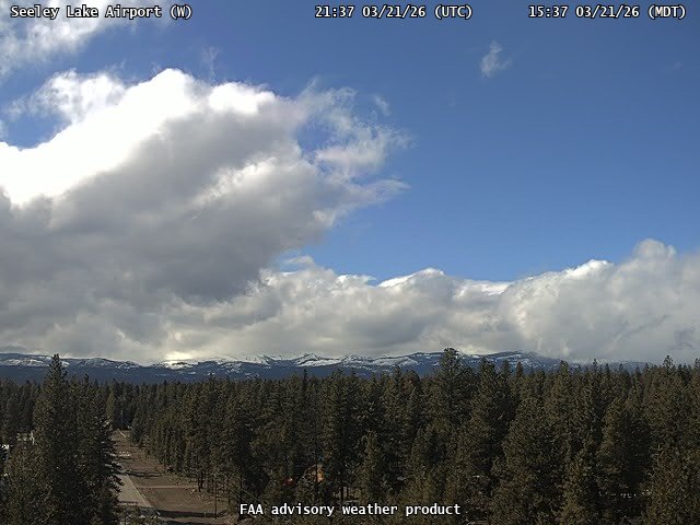
FAA weather camera at Seeley Lake Airport (23S). View: West.
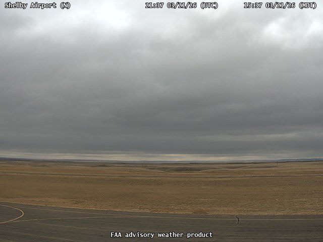
FAA weather camera at Shelby Airport (SBX). View: North.
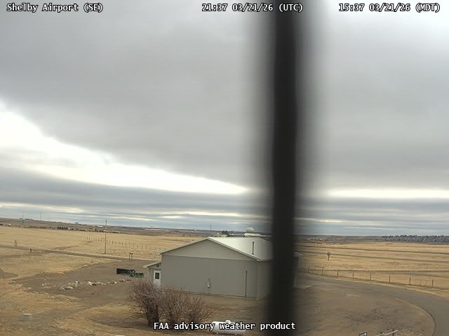
FAA weather camera at Shelby Airport (SBX). View: SouthEast.
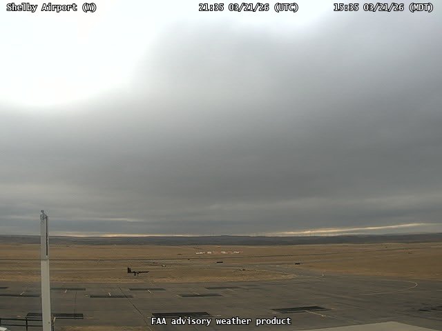
FAA weather camera at Shelby Airport (SBX). View: West.
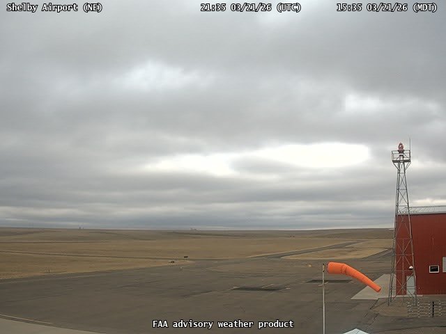
FAA weather camera at Shelby Airport (SBX). View: NorthEast.
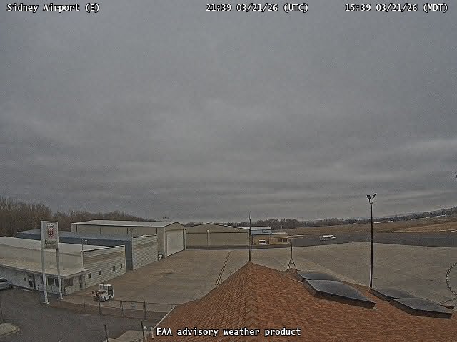
FAA weather camera at Sidney Airport (SDY). View: East.
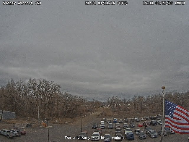
FAA weather camera at Sidney Airport (SDY). View: North.
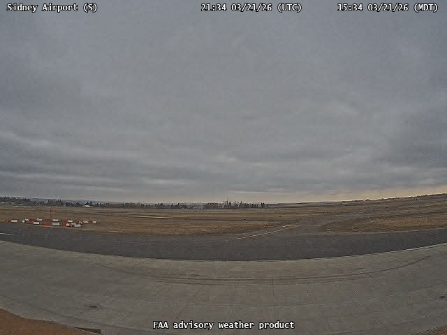
FAA weather camera at Sidney Airport (SDY). View: South.
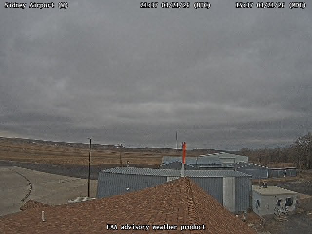
FAA weather camera at Sidney Airport (SDY). View: West.
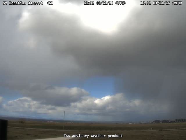
FAA weather camera at St Ignatius Airport (52S). View: North.
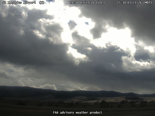
FAA weather camera at St Ignatius Airport (52S). View: South.
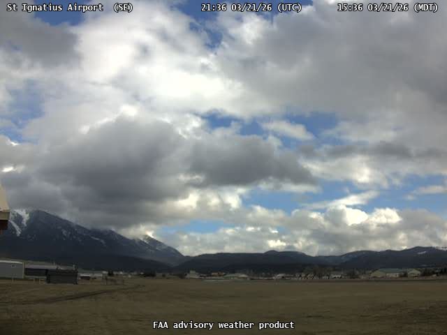
FAA weather camera at St Ignatius Airport (52S). View: SouthEast.
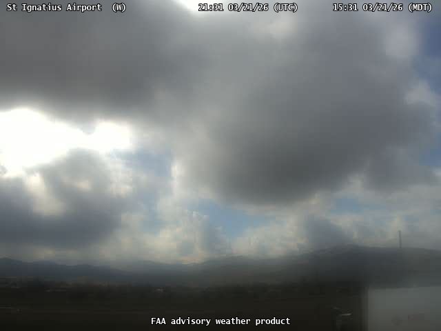
FAA weather camera at St Ignatius Airport (52S). View: West.
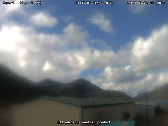
FAA weather camera at Superior Airport (9S4). View: NorthWest.
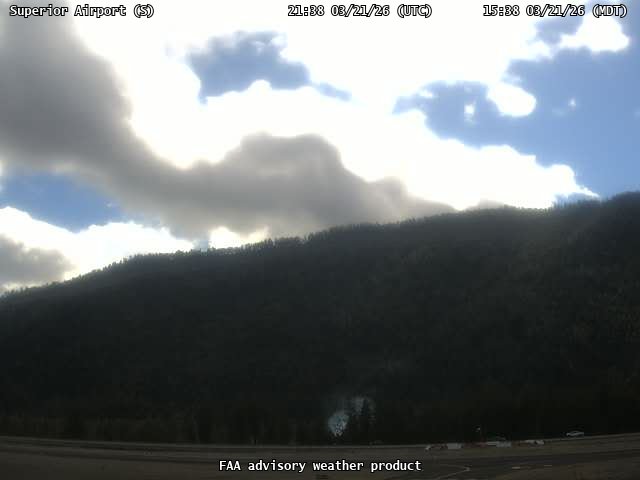
FAA weather camera at Superior Airport (9S4). View: South.
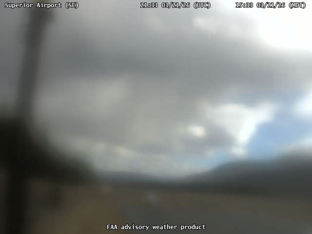
FAA weather camera at Superior Airport (9S4). View: SouthEast.

FAA weather camera at Terry Airport (8U6). View: NorthEast.

FAA weather camera at Terry Airport (8U6). View: NorthWest.
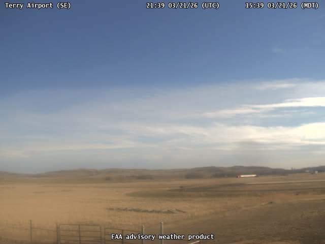
FAA weather camera at Terry Airport (8U6). View: SouthEast.
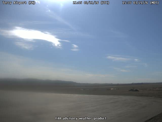
FAA weather camera at Terry Airport (8U6). View: SouthWest.
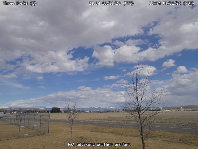
FAA weather camera at Three Forks (9S5). View: East.
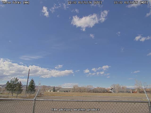
FAA weather camera at Three Forks (9S5). View: NorthWest.
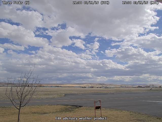
FAA weather camera at Three Forks (9S5). View: South.
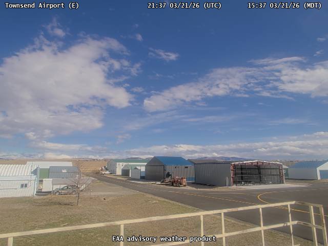
FAA weather camera at Townsend Airport (8U8). View: East.
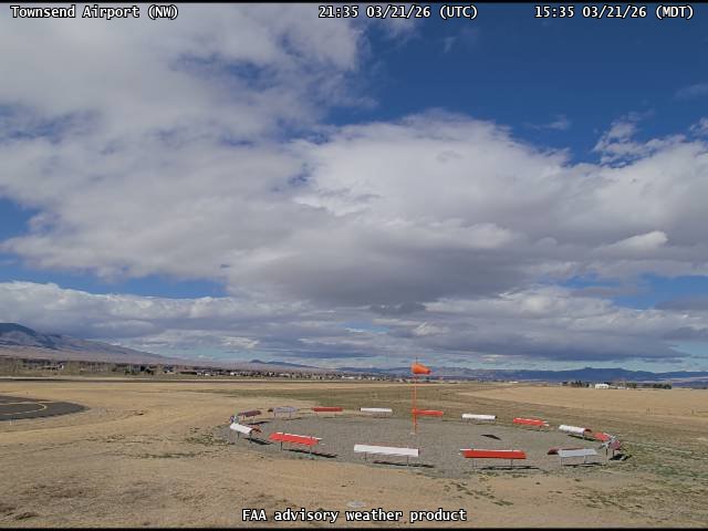
FAA weather camera at Townsend Airport (8U8). View: NorthWest.
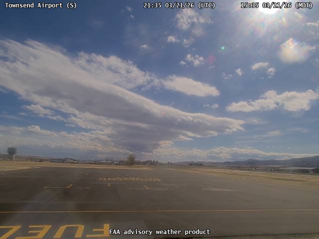
FAA weather camera at Townsend Airport (8U8). View: South.
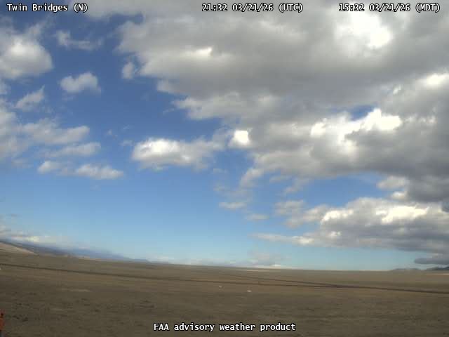
FAA weather camera at Twin Bridges (RVF). View: North.
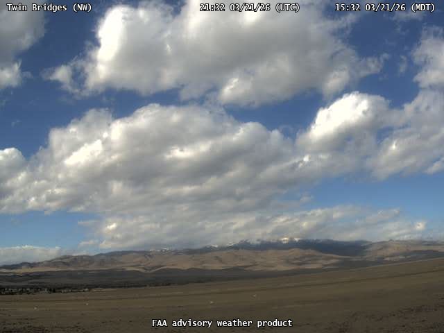
FAA weather camera at Twin Bridges (RVF). View: NorthWest.
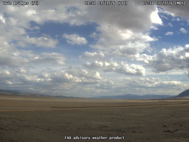
FAA weather camera at Twin Bridges (RVF). View: SouthEast.
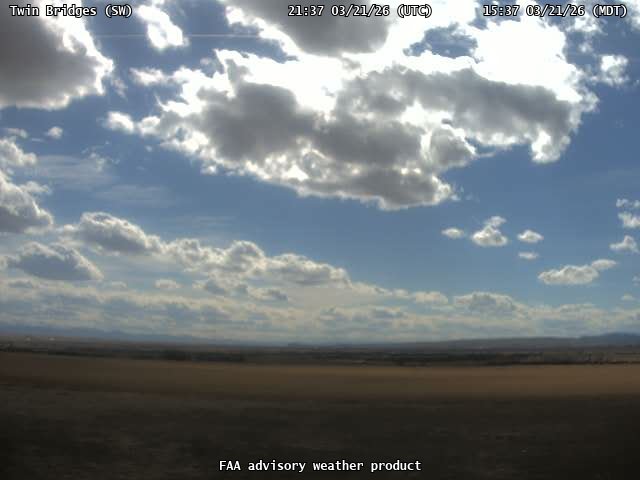
FAA weather camera at Twin Bridges (RVF). View: SouthWest.
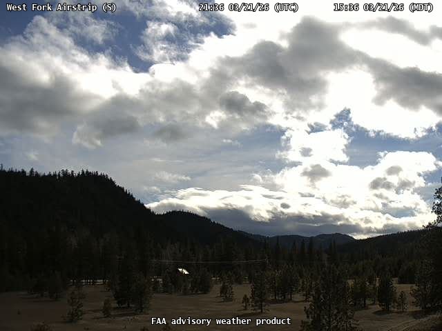
FAA weather camera at West Fork Airstrip (4U7). View: South.

FAA weather camera at West Fork Airstrip (4U7). View: NorthEast.
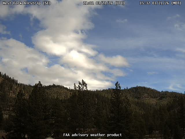
FAA weather camera at West Fork Airstrip (4U7). View: SouthEast.
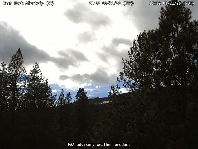
FAA weather camera at West Fork Airstrip (4U7). View: SouthWest.
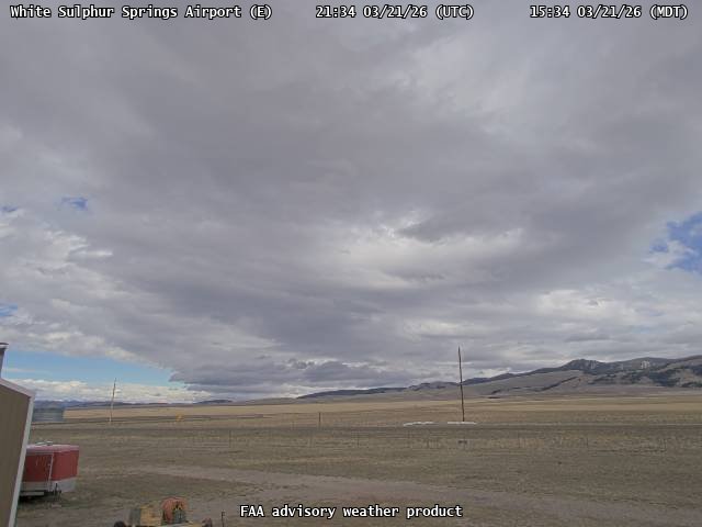
FAA weather camera at White Sulphur Springs Airport (7S6). View: East.
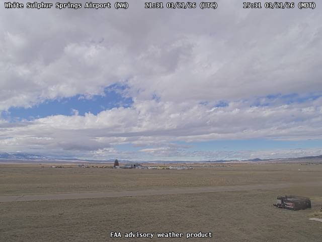
FAA weather camera at White Sulphur Springs Airport (7S6). View: NorthWest.
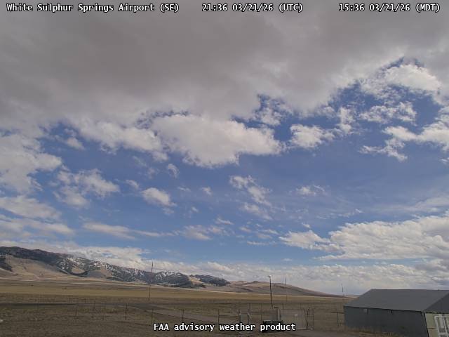
FAA weather camera at White Sulphur Springs Airport (7S6). View: SouthEast.
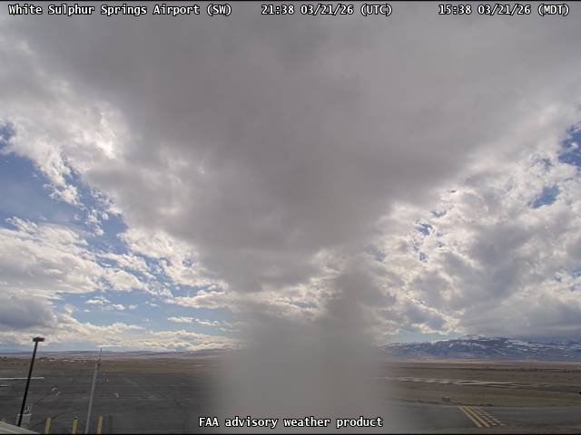
FAA weather camera at White Sulphur Springs Airport (7S6). View: SouthWest.
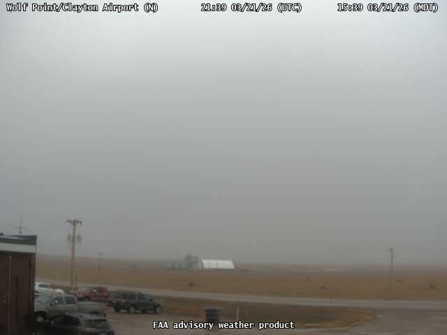
FAA weather camera at Wolf Point/Clayton Airport (OLF). View: North.
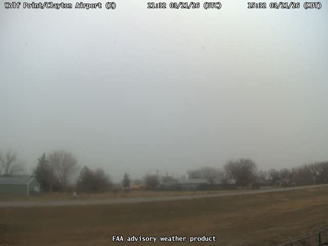
FAA weather camera at Wolf Point/Clayton Airport (OLF). View: East.
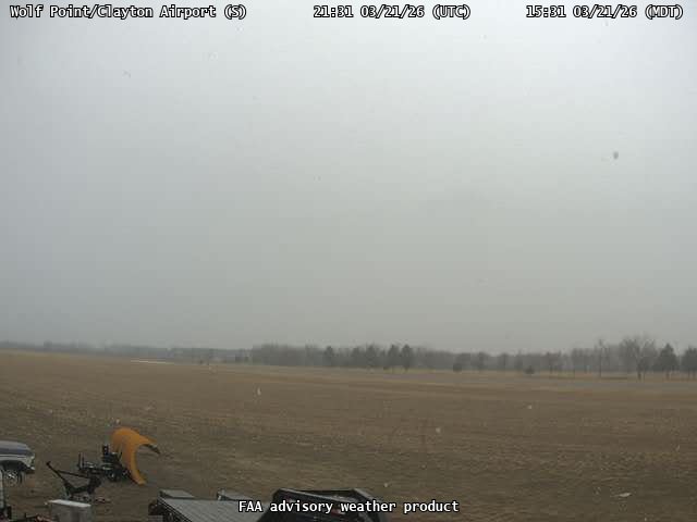
FAA weather camera at Wolf Point/Clayton Airport (OLF). View: South.
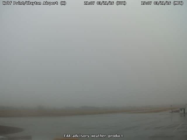
FAA weather camera at Wolf Point/Clayton Airport (OLF). View: West.