Live Nv Webcams
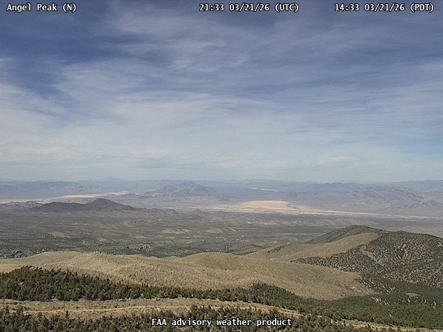
FAA weather camera at Angel Peak (N/A). View: North.
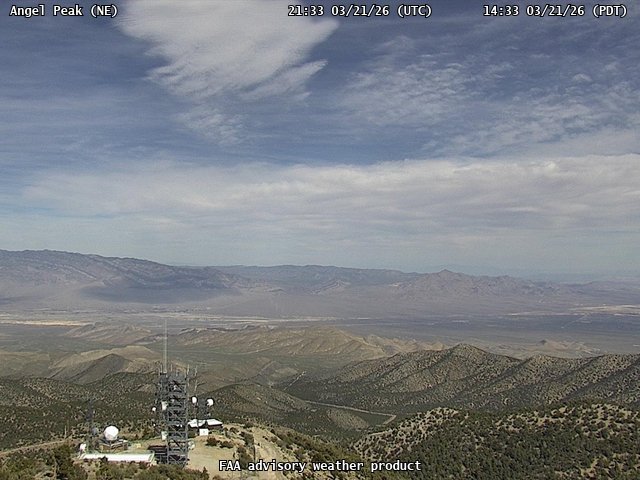
FAA weather camera at Angel Peak (N/A). View: NorthEast.
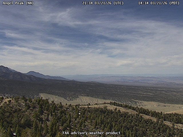
FAA weather camera at Angel Peak (N/A). View: NorthWest.
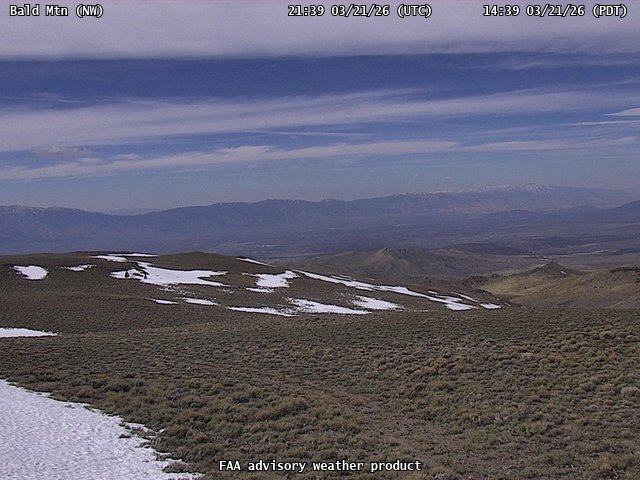
FAA weather camera at Bald Mtn (N/A). View: NorthWest.
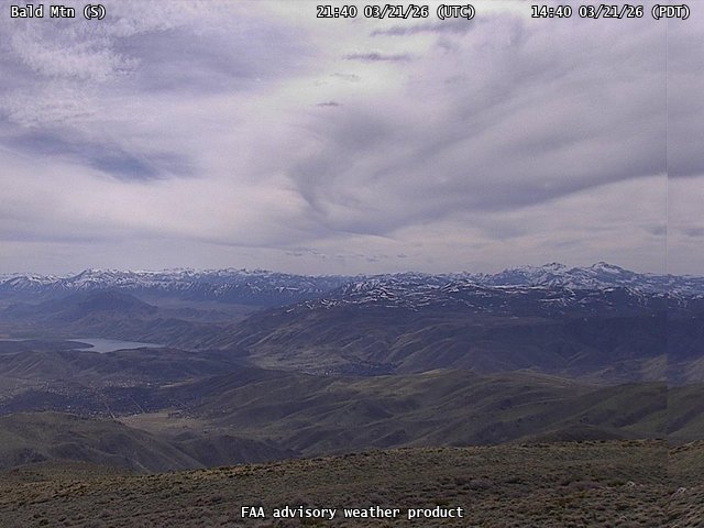
FAA weather camera at Bald Mtn (N/A). View: South.
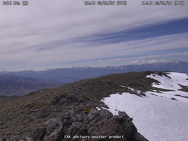
FAA weather camera at Bald Mtn (N/A). View: West.
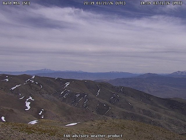
FAA weather camera at Bald Mtn (N/A). View: SouthEast.
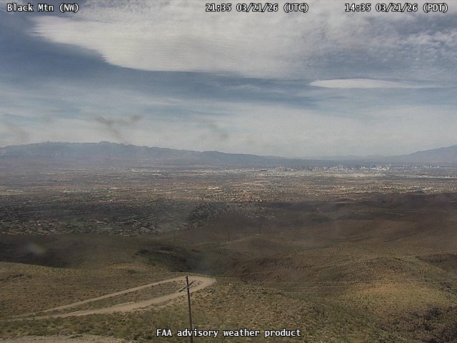
FAA weather camera at Black Mtn (N/A). View: NorthWest.
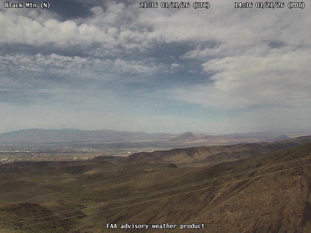
FAA weather camera at Black Mtn (N/A). View: North.
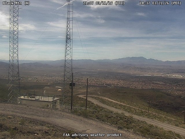
FAA weather camera at Black Mtn (N/A). View: West.
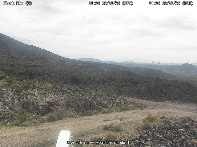
FAA weather camera at Black Mtn (N/A). View: South.
FAA weather camera at Callaghan Peak (N/A). View: NorthWest.
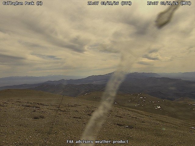
FAA weather camera at Callaghan Peak (N/A). View: South.
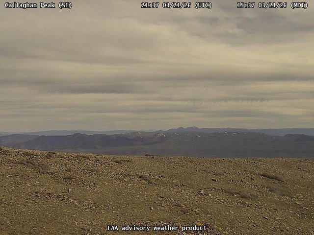
FAA weather camera at Callaghan Peak (N/A). View: SouthEast.
FAA weather camera at Callaghan Peak (N/A). View: West.
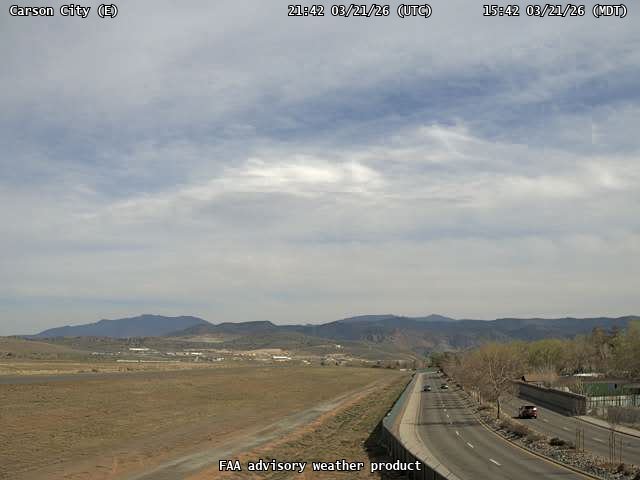
FAA weather camera at Carson City (CXP). View: East.
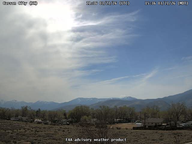
FAA weather camera at Carson City (CXP). View: SouthWest.
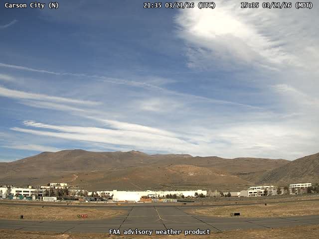
FAA weather camera at Carson City (CXP). View: North.
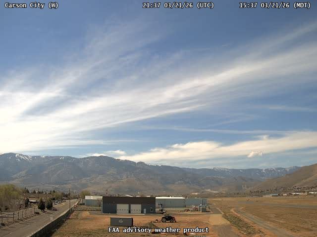
FAA weather camera at Carson City (CXP). View: West.
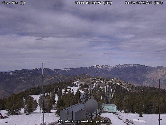
FAA weather camera at Cave Mtn (N/A). View: North.
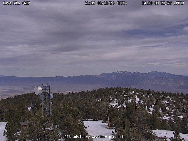
FAA weather camera at Cave Mtn (N/A). View: NorthEast.
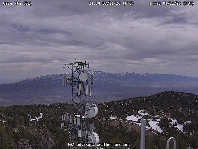
FAA weather camera at Cave Mtn (N/A). View: SouthEast.
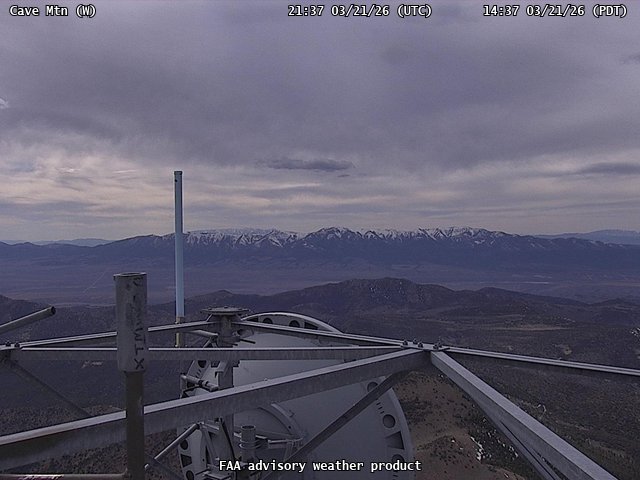
FAA weather camera at Cave Mtn (N/A). View: West.
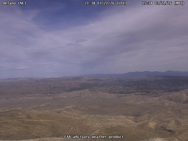
FAA weather camera at Delano (N/A). View: NorthEast.
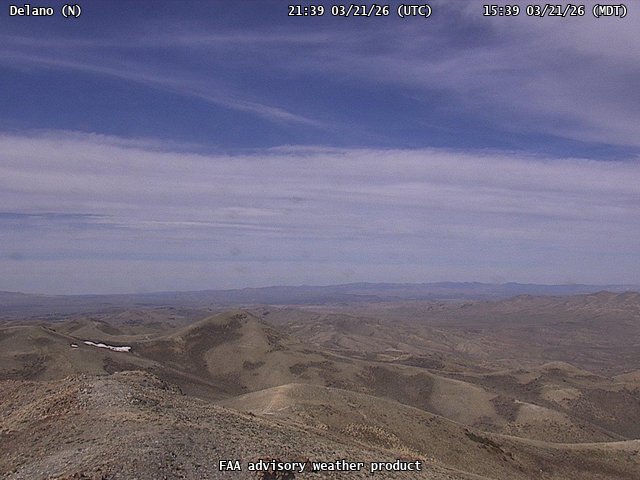
FAA weather camera at Delano (N/A). View: North.
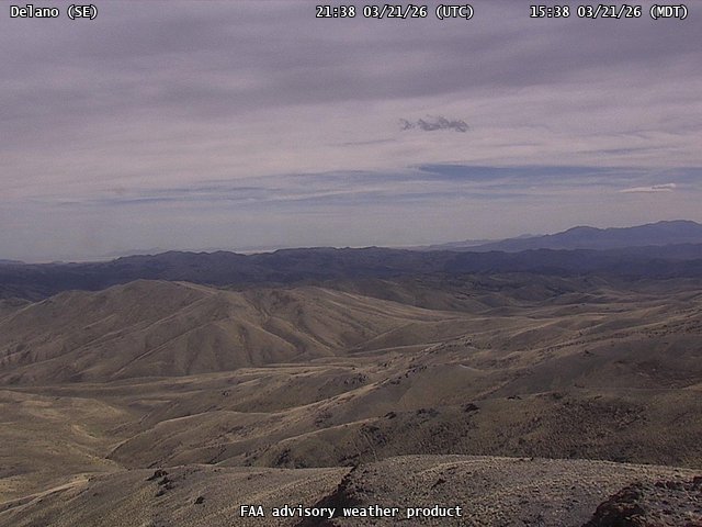
FAA weather camera at Delano (N/A). View: SouthEast.
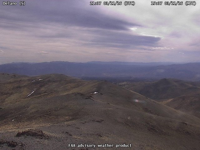
FAA weather camera at Delano (N/A). View: South.
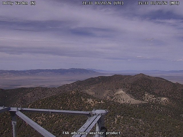
FAA weather camera at Dolly Varden (N/A). View: North.
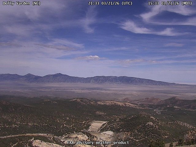
FAA weather camera at Dolly Varden (N/A). View: NorthEast.
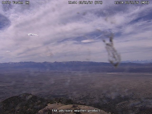
FAA weather camera at Dolly Varden (N/A). View: West.
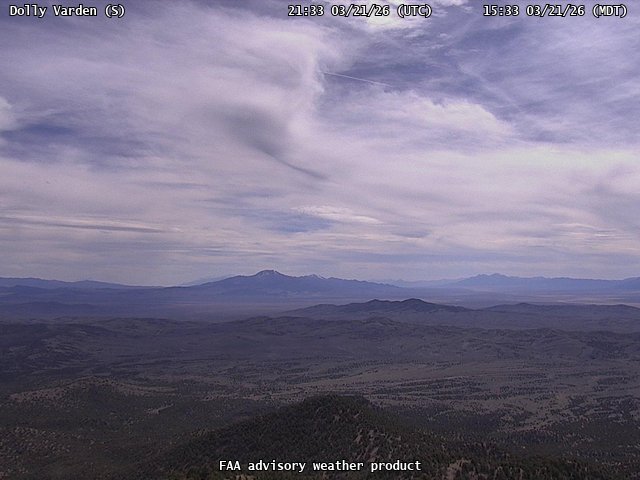
FAA weather camera at Dolly Varden (N/A). View: South.
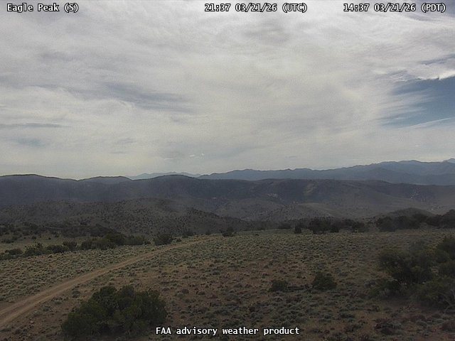
FAA weather camera at Eagle Peak (N/A). View: South.
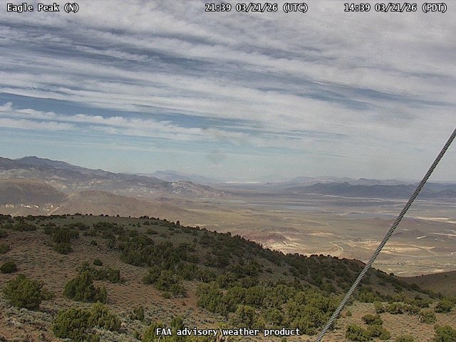
FAA weather camera at Eagle Peak (N/A). View: North.
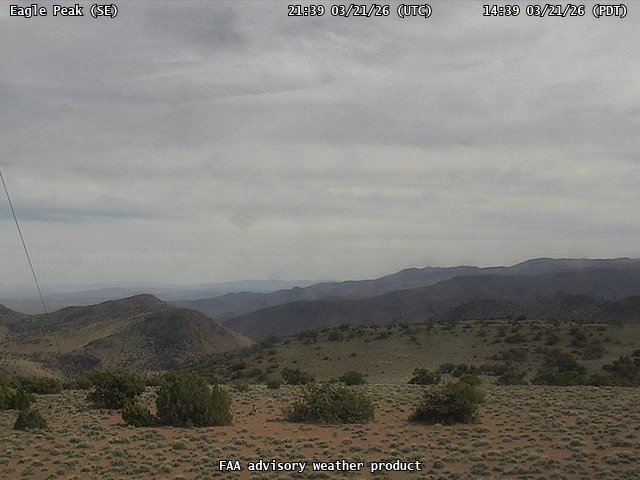
FAA weather camera at Eagle Peak (N/A). View: SouthEast.
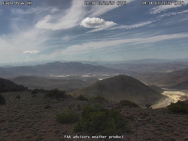
FAA weather camera at Eagle Peak (N/A). View: West.
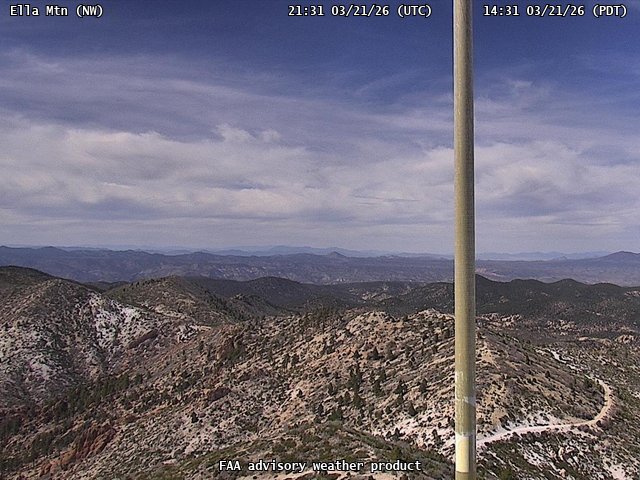
FAA weather camera at Ella Mtn (N/A). View: NorthWest.
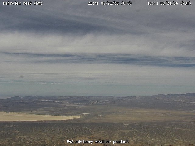
FAA weather camera at Fairview Peak (N/A). View: NorthWest.
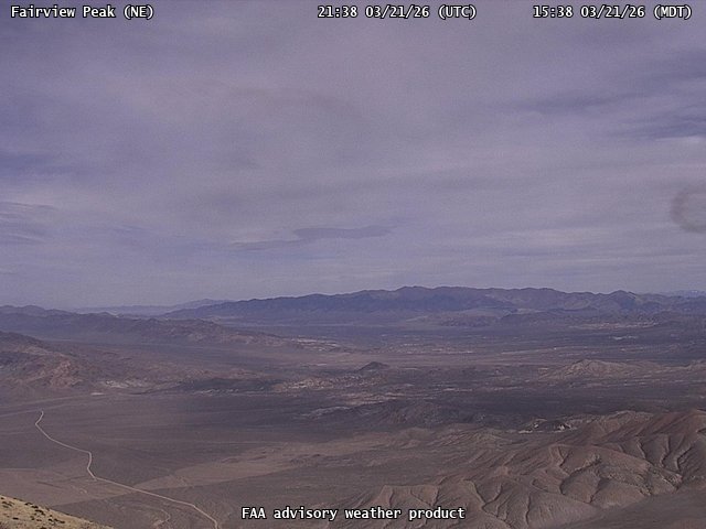
FAA weather camera at Fairview Peak (N/A). View: NorthEast.
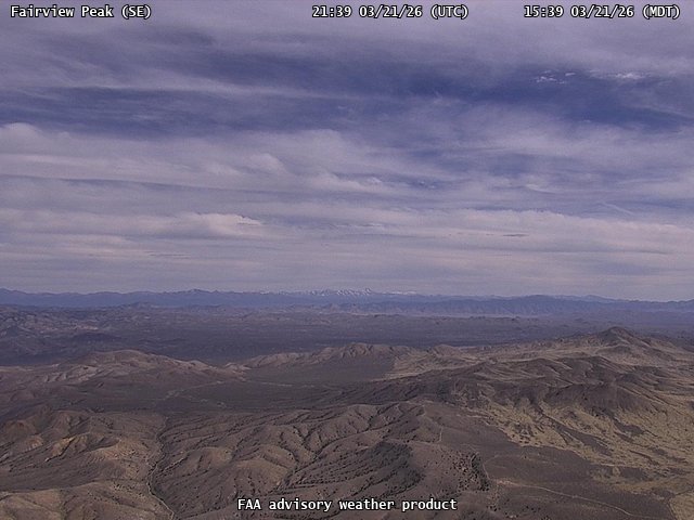
FAA weather camera at Fairview Peak (N/A). View: SouthEast.
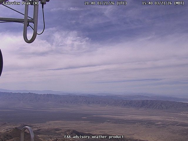
FAA weather camera at Fairview Peak (N/A). View: West.
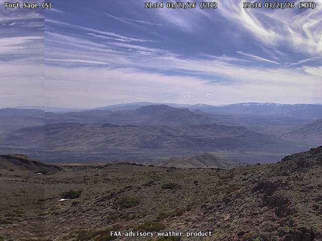
FAA weather camera at Fort Sage (N/A). View: South.
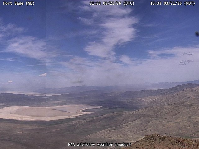
FAA weather camera at Fort Sage (N/A). View: NorthEast.
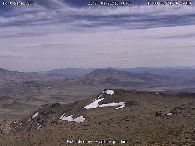
FAA weather camera at Fort Sage (N/A). View: SouthEast.
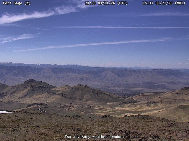
FAA weather camera at Fort Sage (N/A). View: West.
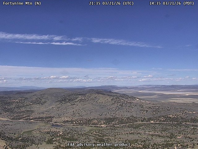
FAA weather camera at Fortynine Mtn (N/A). View: North.
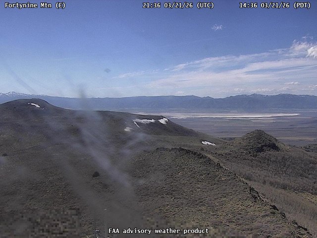
FAA weather camera at Fortynine Mtn (N/A). View: East.
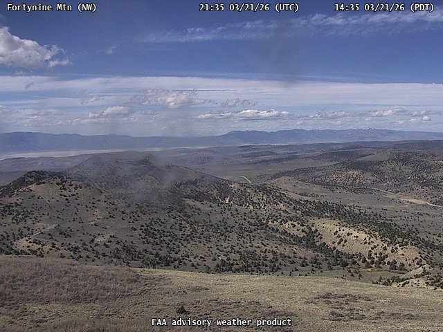
FAA weather camera at Fortynine Mtn (N/A). View: NorthWest.
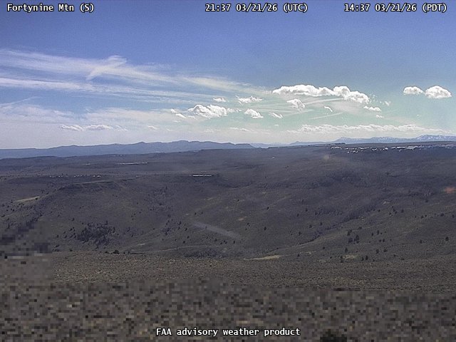
FAA weather camera at Fortynine Mtn (N/A). View: South.
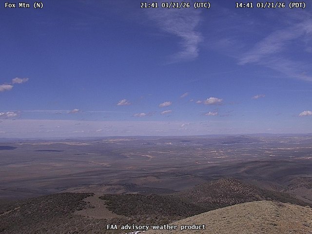
FAA weather camera at Fox Mtn (N/A). View: North.
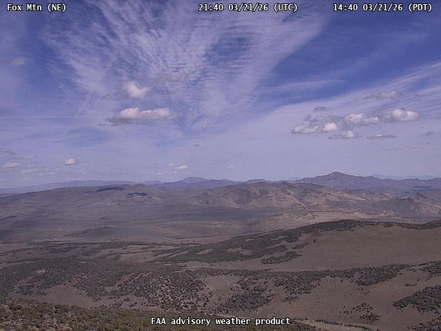
FAA weather camera at Fox Mtn (N/A). View: NorthEast.
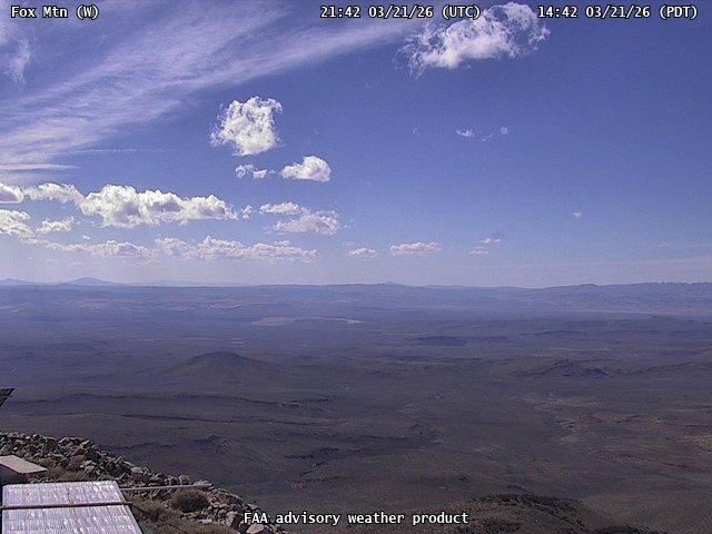
FAA weather camera at Fox Mtn (N/A). View: West.
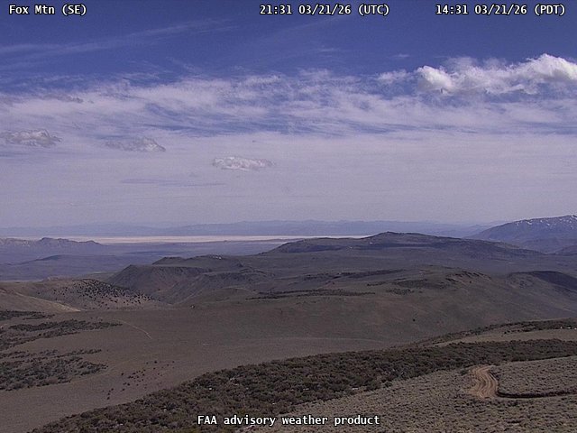
FAA weather camera at Fox Mtn (N/A). View: SouthEast.
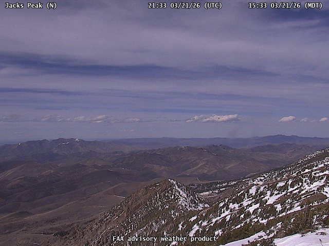
FAA weather camera at Jacks Peak (N/A). View: North.
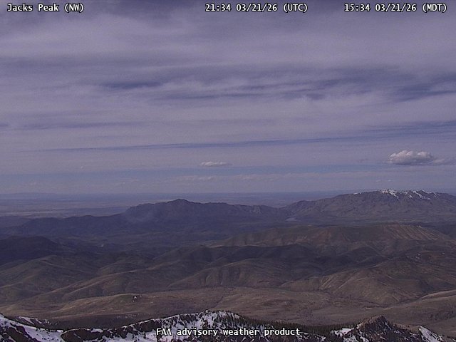
FAA weather camera at Jacks Peak (N/A). View: NorthWest.
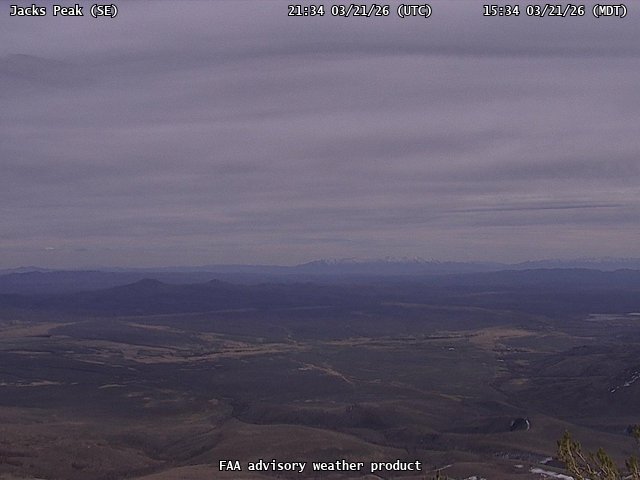
FAA weather camera at Jacks Peak (N/A). View: SouthEast.
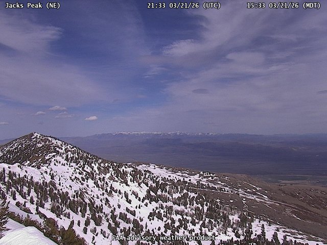
FAA weather camera at Jacks Peak (N/A). View: NorthEast.
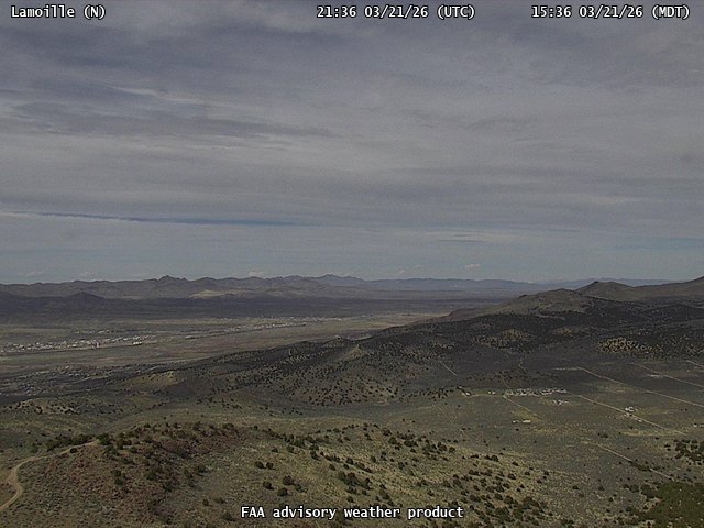
FAA weather camera at Lamoille (N/A). View: North.
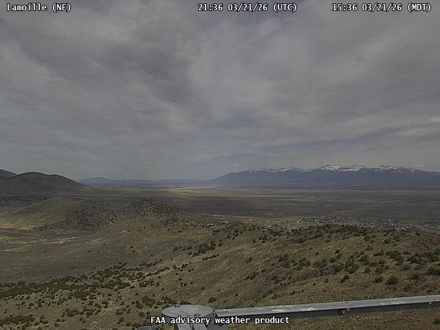
FAA weather camera at Lamoille (N/A). View: NorthEast.
FAA weather camera at Lamoille (N/A). View: South.

FAA weather camera at Lamoille (N/A). View: West.
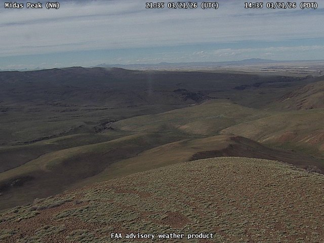
FAA weather camera at Midas Peak (N/A). View: NorthWest.
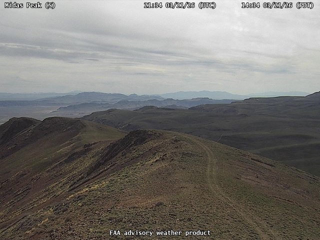
FAA weather camera at Midas Peak (N/A). View: South.

FAA weather camera at Midas Peak (N/A). View: SouthEast.

FAA weather camera at Midas Peak (N/A). View: West.
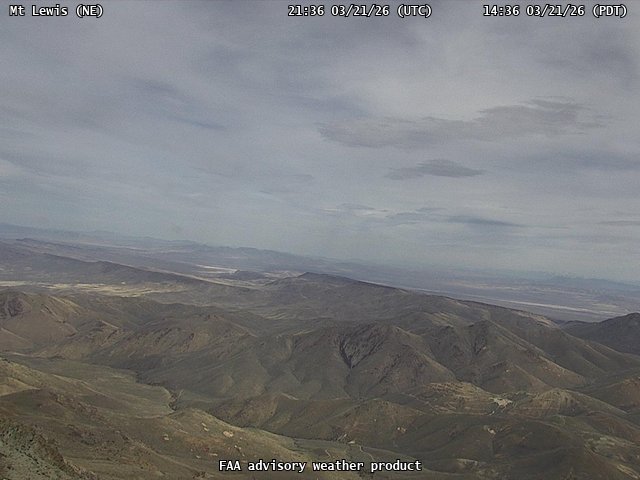
FAA weather camera at Mt Lewis (N/A). View: NorthEast.
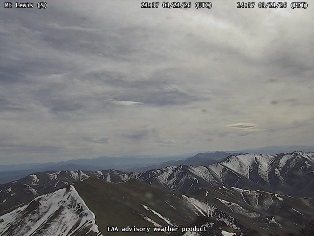
FAA weather camera at Mt Lewis (N/A). View: South.
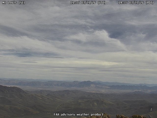
FAA weather camera at Mt Lewis (N/A). View: SouthEast.
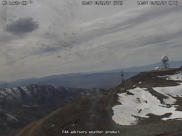
FAA weather camera at Mt Lewis (N/A). View: West.
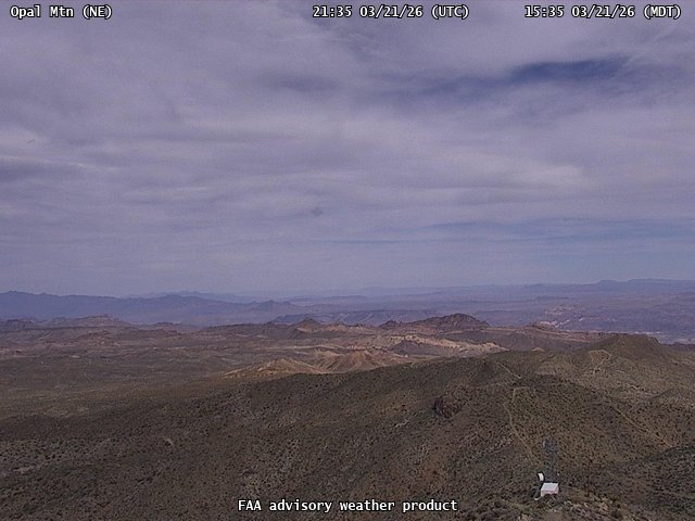
FAA weather camera at Opal Mtn (N/A). View: NorthEast.
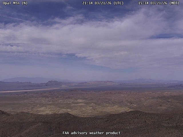
FAA weather camera at Opal Mtn (N/A). View: North.
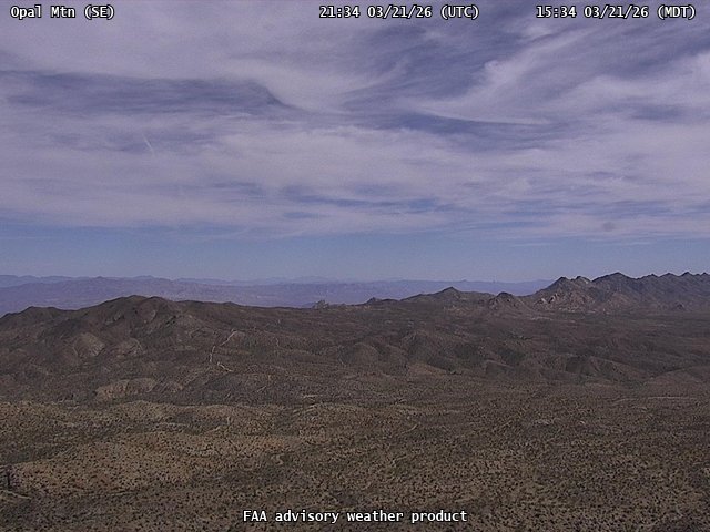
FAA weather camera at Opal Mtn (N/A). View: SouthEast.
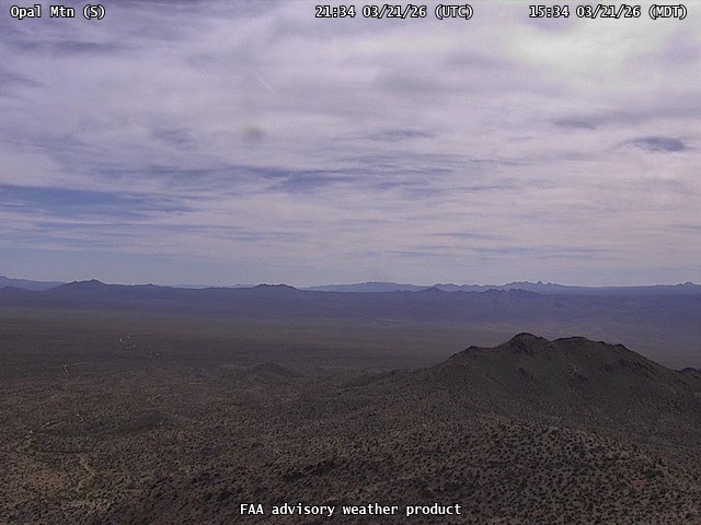
FAA weather camera at Opal Mtn (N/A). View: South.
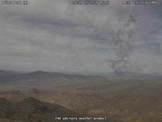
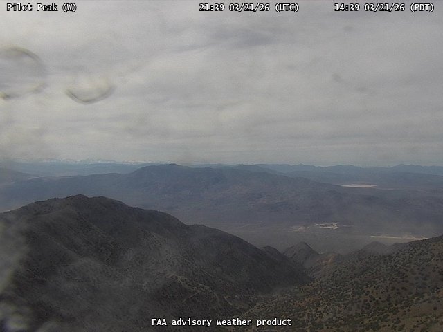
FAA weather camera at Pilot Peak (N/A). View: North.
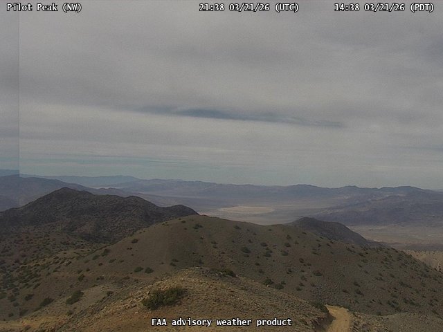
FAA weather camera at Pilot Peak (N/A). View: NorthWest.
FAA weather camera at Pilot Peak (N/A). View: South.
FAA weather camera at Pilot Peak (N/A). View: West.
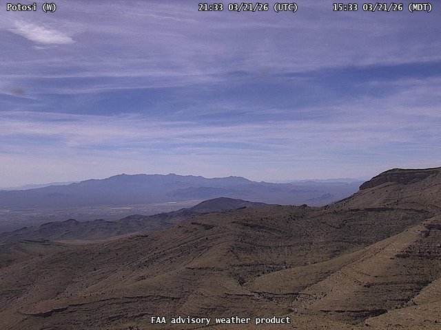
FAA weather camera at Potosi (N/A). View: West.
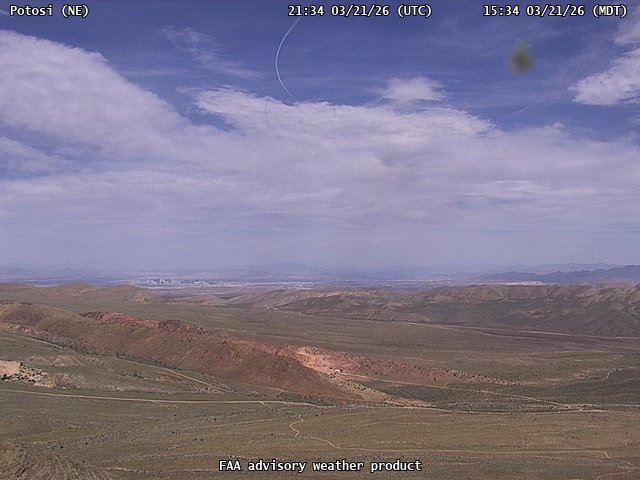
FAA weather camera at Potosi (N/A). View: NorthEast.
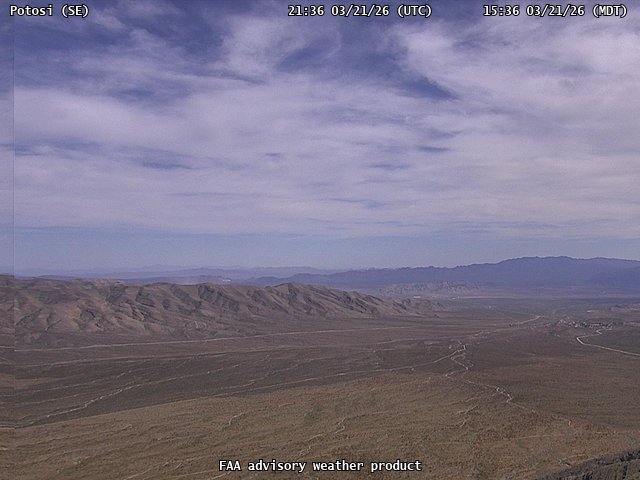
FAA weather camera at Potosi (N/A). View: SouthEast.
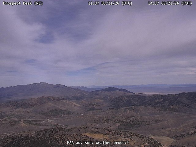
FAA weather camera at Prospect Peak (N/A). View: NorthEast.
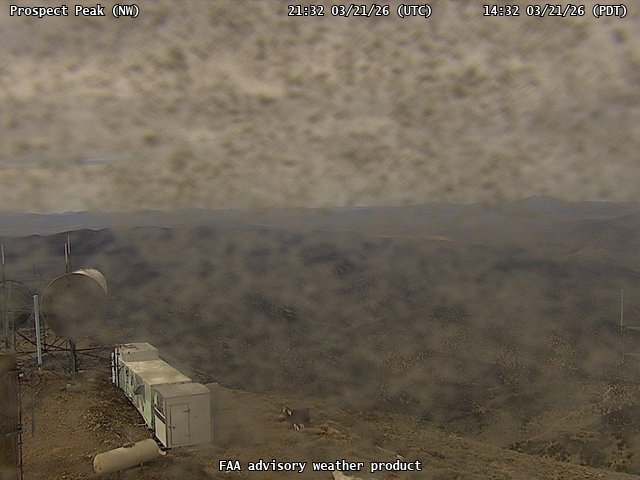
FAA weather camera at Prospect Peak (N/A). View: NorthWest.
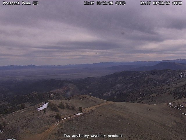
FAA weather camera at Prospect Peak (N/A). View: South.
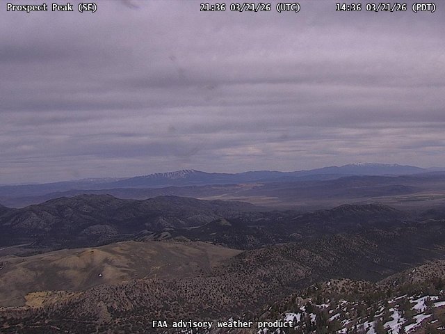
FAA weather camera at Prospect Peak (N/A). View: SouthEast.
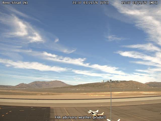
FAA weather camera at Reno-Stead (RTS). View: North.
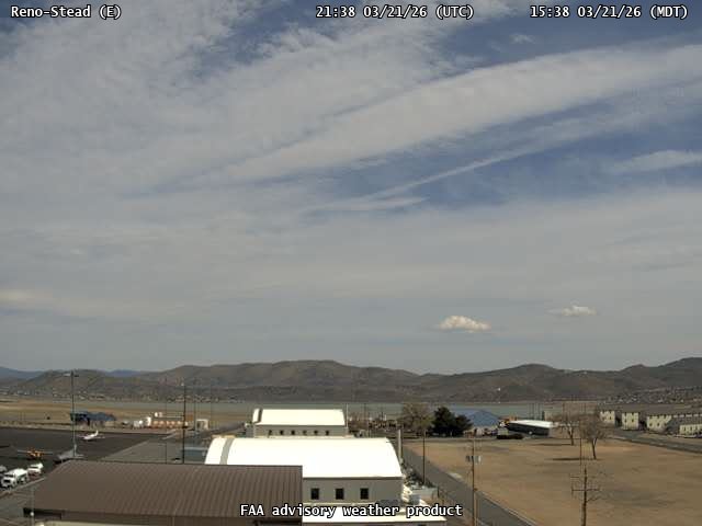
FAA weather camera at Reno-Stead (RTS). View: East.
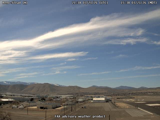
FAA weather camera at Reno-Stead (RTS). View: West.
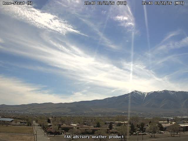
FAA weather camera at Reno-Stead (RTS). View: South.
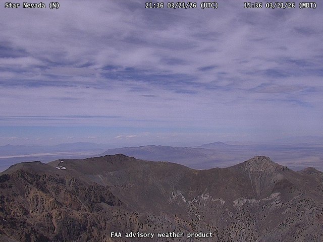
FAA weather camera at Star Nevada (N/A). View: North.
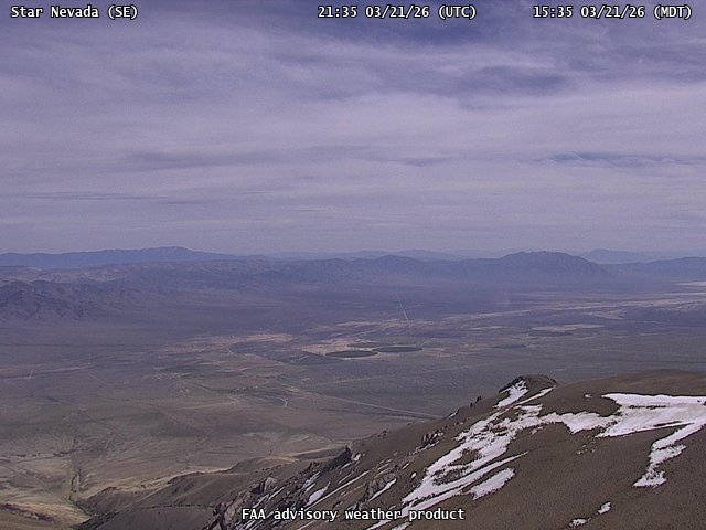
FAA weather camera at Star Nevada (N/A). View: SouthEast.
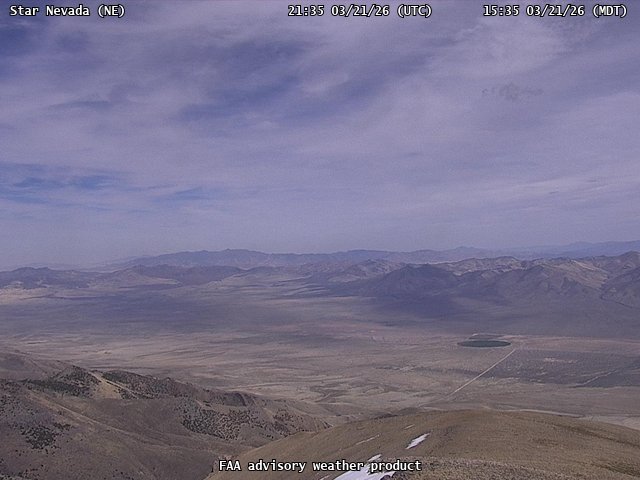
FAA weather camera at Star Nevada (N/A). View: NorthEast.
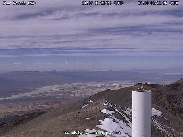
FAA weather camera at Star Nevada (N/A). View: NorthWest.
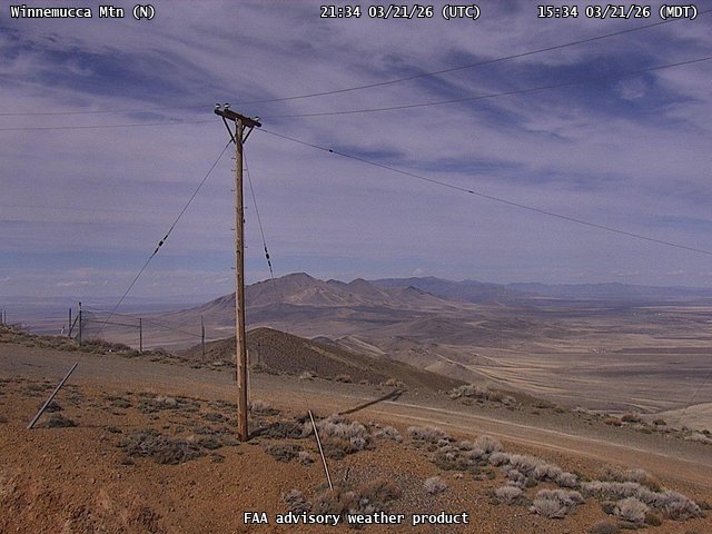
FAA weather camera at Winnemucca Mtn (N/A). View: North.
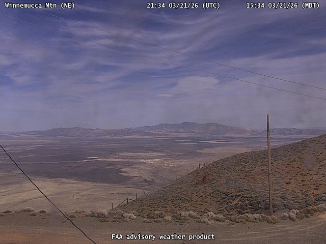
FAA weather camera at Winnemucca Mtn (N/A). View: NorthEast.
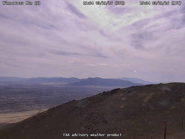
FAA weather camera at Winnemucca Mtn (N/A). View: South.
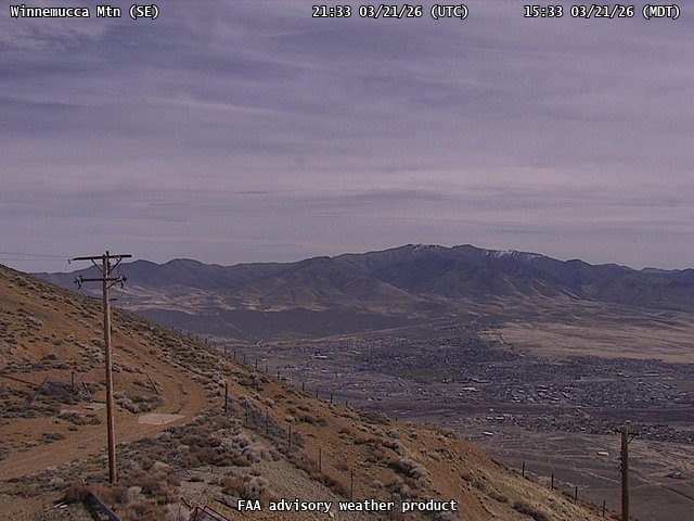
FAA weather camera at Winnemucca Mtn (N/A). View: SouthEast.
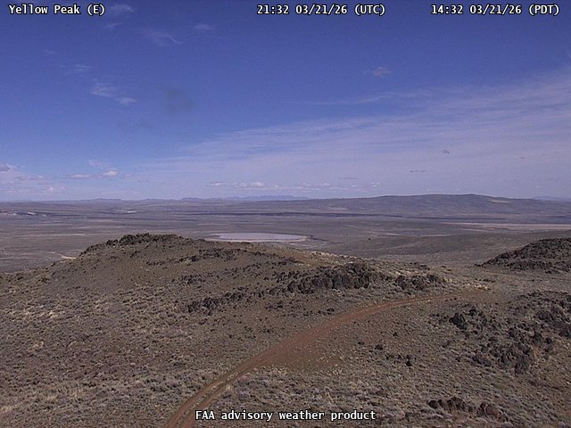
FAA weather camera at Yellow Peak (N/A). View: East.
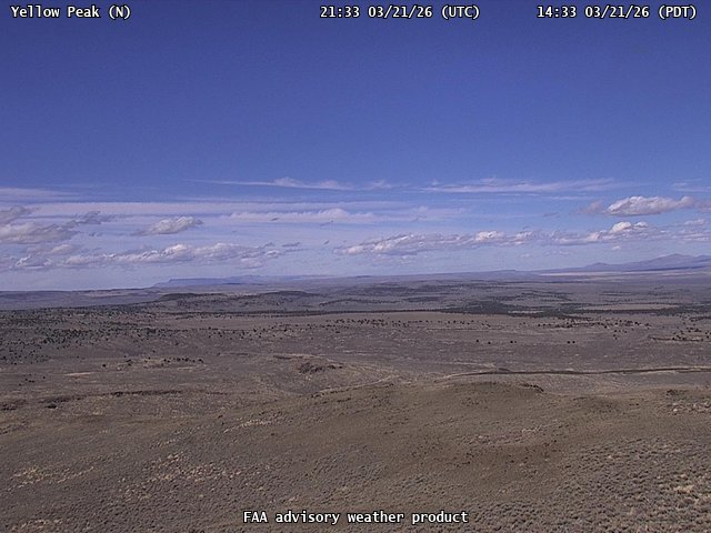
FAA weather camera at Yellow Peak (N/A). View: North.
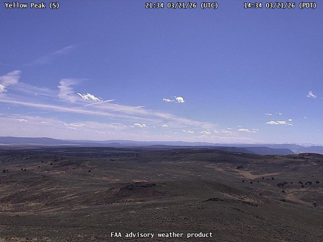
FAA weather camera at Yellow Peak (N/A). View: South.
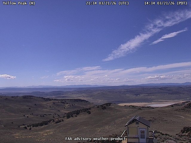
FAA weather camera at Yellow Peak (N/A). View: West.