

About This Camera
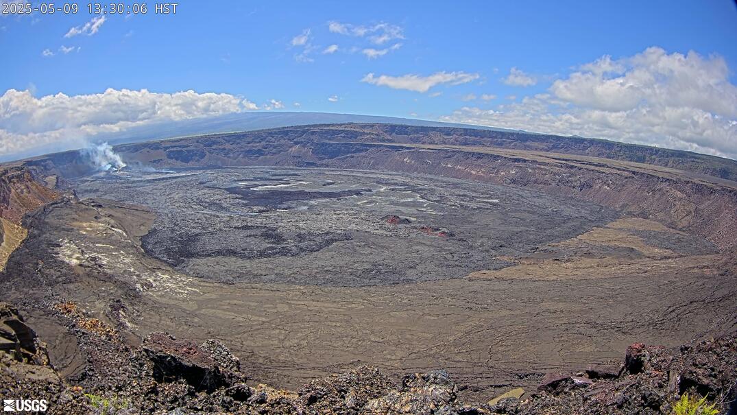
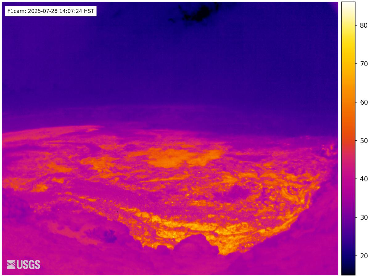
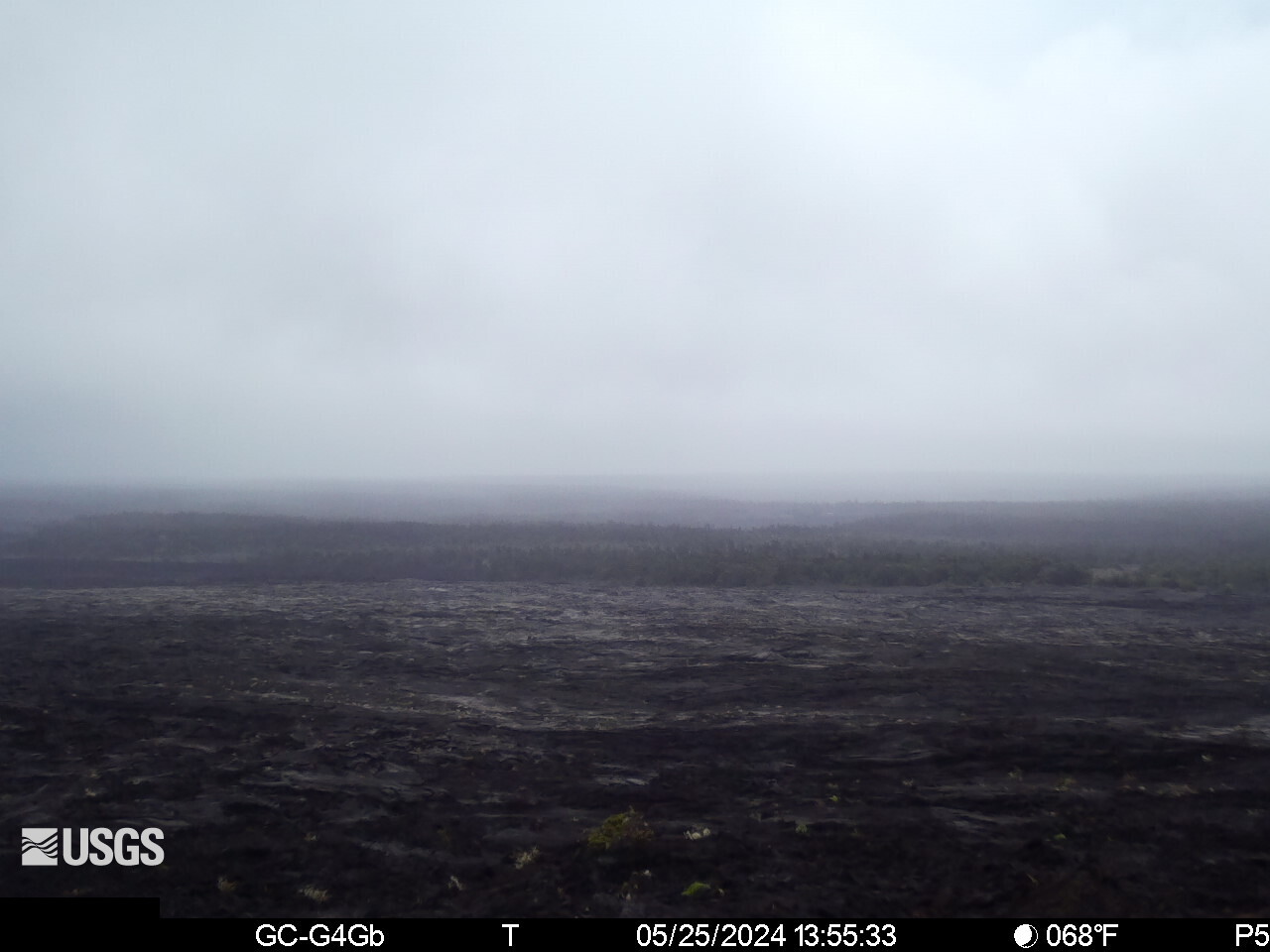
This USGS camera (R3) monitors a stretch of Kīlauea's rift zone on Hawaii Island, part of the continuous instrument network the Hawaiian Volcano Observatory uses to track where magma is moving. Kīlauea's rifts are lines of structural weakness radiating from the summit; when pressure builds, eruptions often break out along them rather than at the top. The view shows the lava terrain of the rift, where early signs of renewed activity — ground cracks, steam, incandescence — would appear. Conditions vary with elevation and the trade winds. Within Hawaiʻi Volcanoes National Park; Hawaii does not observe daylight saving.
Heading to Kilauea, Usgs? See the weather, the light and how busy it is for yourself before you go — this is the view right now, not a photo from a brochure.
Advertisement
‹/› Embed this camera on your website Free for any site — copy the code, keep the credit line.
The player stays live and auto-updates — no maintenance on your end. Feed problems? It falls back gracefully.
Advertisement
You Might Also Like
Fetching local weather…
Volcano & Seismic Activity
PRO Volcano & Seismic Activity — Premium
Live alert level cues and recent earthquakes near the cam.
Unlock Premium — $1 first monthAlready Premium? Sign in to view.
Forecast data: Open-Meteo · NOAA SWPC · USGS. Conditions are estimates.
Recommended Gear

As an Amazon Associate, we earn from qualifying purchases.