Live Kilauea Volcano Cams
Every camera pointed at Kilauea, in one place — the USGS Hawaiian Volcano Observatory network around Halemaʻumaʻu crater, the rift zones, and the summit.

Live stream of Kīlauea Volcano's West Halemaʻumaʻu crater. Watch lava activity and volcanic events in real-time.

USGS research camera monitoring Kilauea's Halema'uma'u crater. Watch for lava glow at night, steam venting, and active volcanic activity in real time.
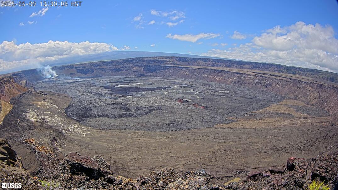
USGS HVO 'B1cam' monitoring Kīlauea's summit volcanic activity. Operational during heightened alert levels and live during caldera eruption episodes. Part of the USGS Hawaiian Volcano Observatory's continuous 24/7 summit surveillance network.
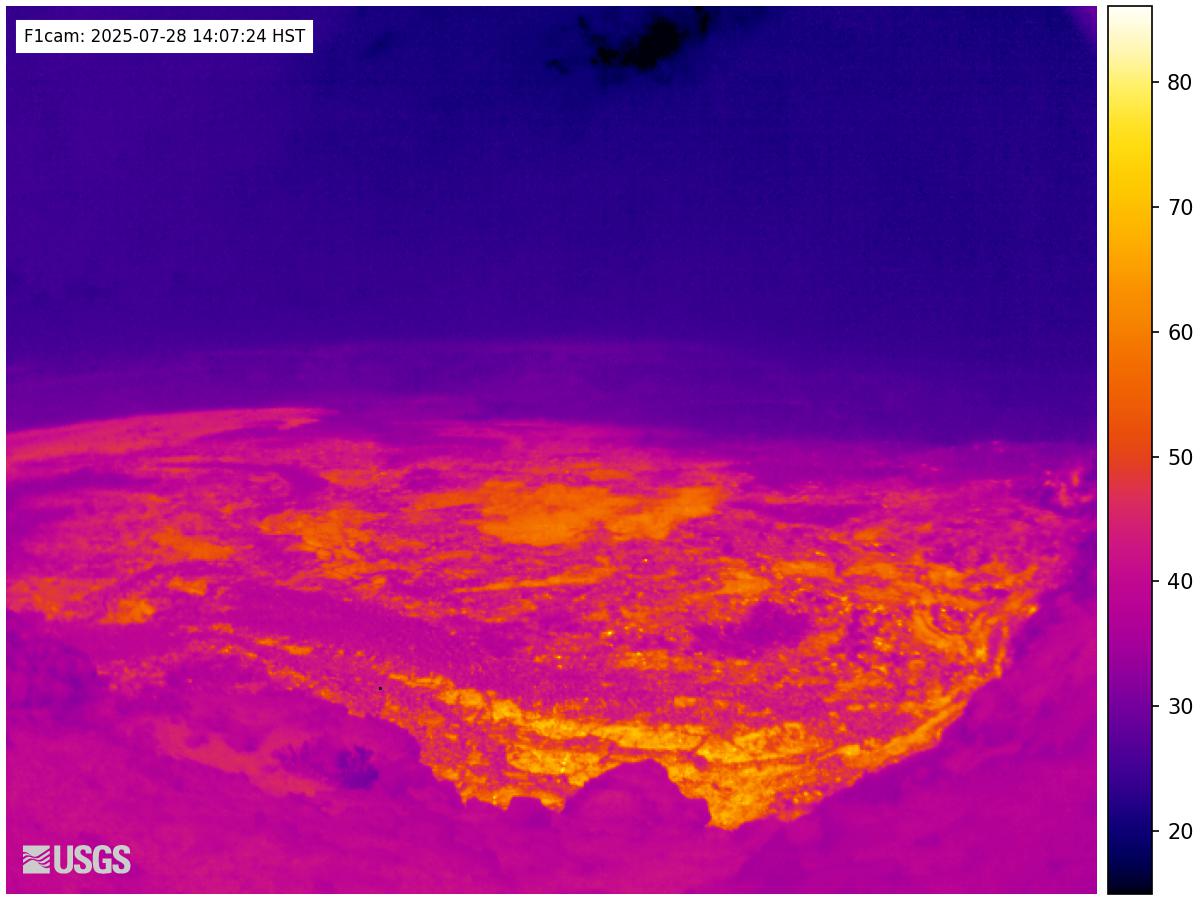
USGS HVO fissure camera deployed along Kīlauea's East Rift Zone during active eruptions. Shows lava outbreak areas, spatter cones, and active fissures when the rift zone opens. Went active during the catastrophic 2018 Lower East Rift Zone eruption that destroyed Leilani Estates.
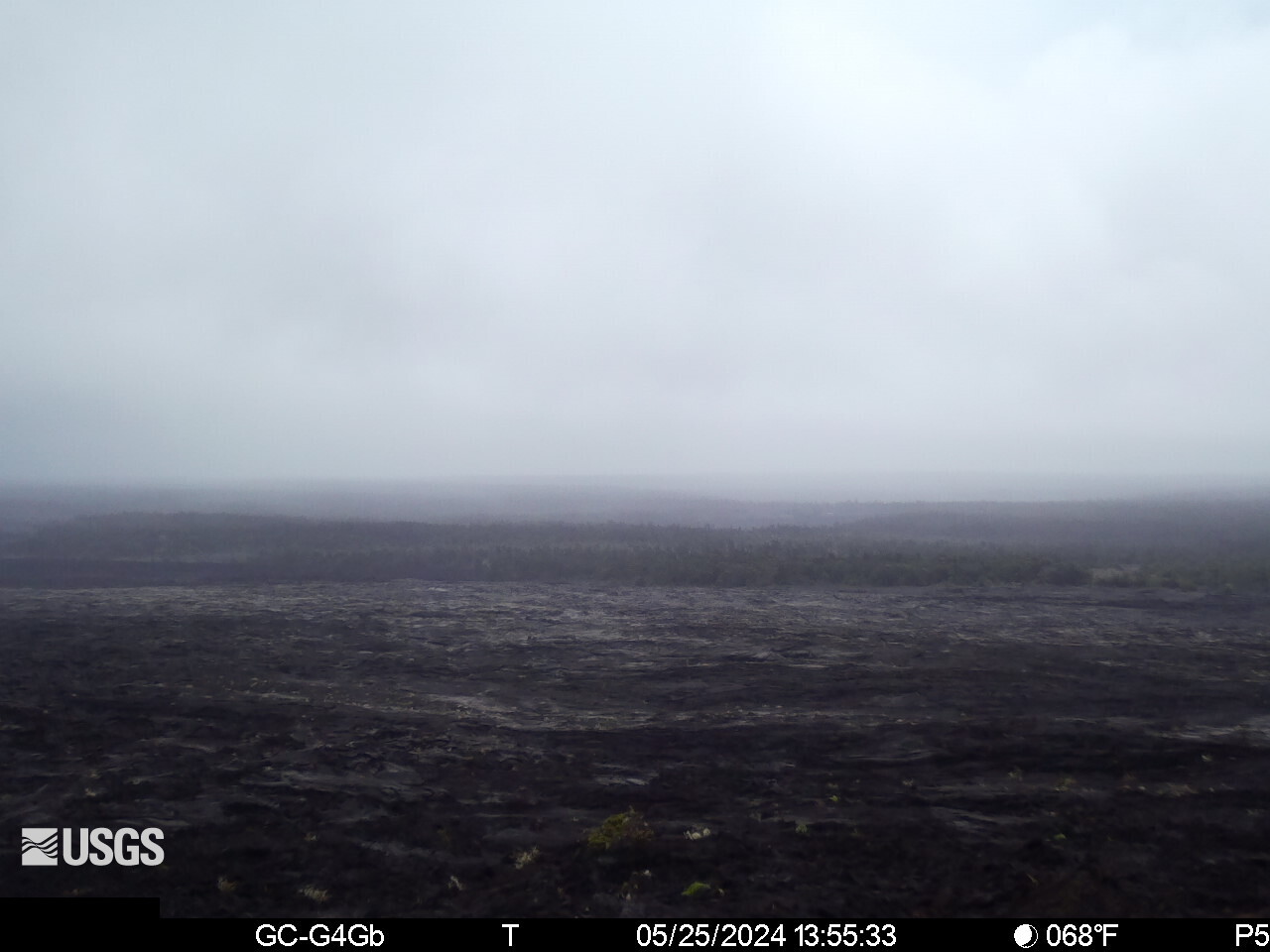
USGS HVO 'KOcam' on Kīlauea's East Rift Zone near the Mauna Ulu area. Mauna Ulu last erupted 1969–1974, producing the iconic Chain of Craters Road lava flows. Watches the rift corridor for renewed fissure activity and degassing from the 50-year-old lava field.
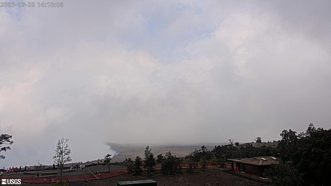
USGS HVO 'K2cam' from Uekahuna Bluff, highest point on Kīlauea caldera's rim at ~4,009 ft. Elevated overlook showing the full Halemaʻumaʻu depression and lava lake depth. Above the clouds on clear mornings — dramatic wide view of the entire caldera.
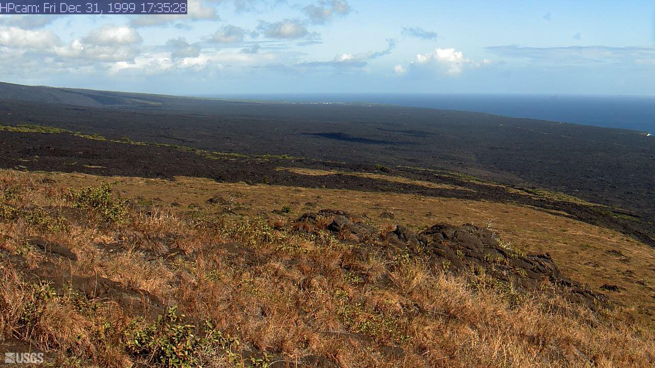
USGS HVO 'HPcam' — high-position camera covering Kīlauea's summit and upper caldera. Wide-angle context shot for eruption monitoring; shows caldera geometry and steam plume direction. Part of the HVO's 24/7 summit surveillance grid covering all caldera quadrants.
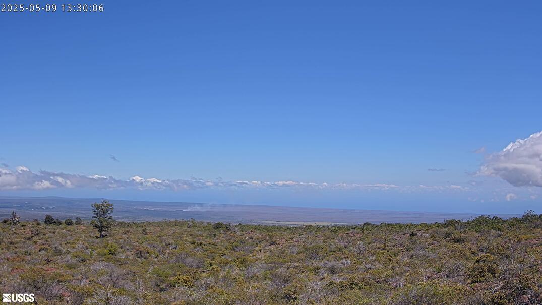
USGS HVO 'KPcam' scanning the Kīlauea summit caldera area near park visitor viewpoints. Pan-tilt camera that rotates to active areas during eruptions and heightened volcano unrest. Watches the caldera viewpoint area visible from the Hawaiʻi Volcanoes NP overlook.
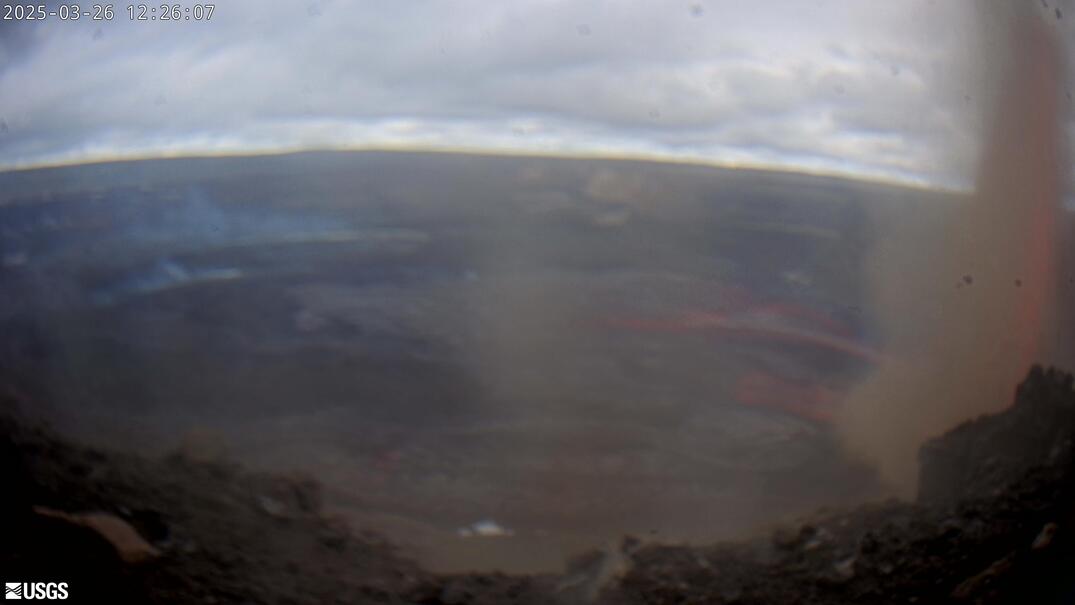
USGS HVO 'KWcam' covering Kīlauea's summit — companion wide-angle to the V-series cameras. Shows overall caldera floor and rift zone horizon. Useful for tracking plume direction, eruption column height, and lava visible at the caldera rim.
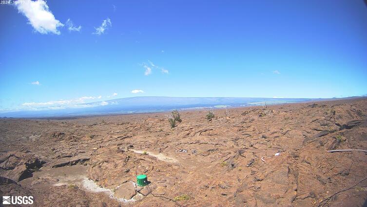
USGS HVO camera at Kīlauea Iki, the smaller crater that drained and resolidified after a 1959 eruption. Watch steam vents rising from the hardened lava floor and hikers crossing the solidified lava lake. A striking demonstration of how fast Hawaiian volcanic surfaces are created and cool.

USGS HVO 'MUcam' on Mauna Ulu, a shield vent on Kīlauea's East Rift Zone active 1969–1974. Shows the barren lava landscape of the Chain of Craters area and any ongoing degassing from the vent. Accessible to hikers via Chain of Craters Road in Hawaiʻi Volcanoes NP.

USGS HVO 'PEcam' east of Puʻu Pohaku on Kīlauea's summit rim. Monitors eruption activity on the eastern caldera wall and tracks lava lake level changes. Paired with PWcam to bracket the summit vent from both sides around the clock.
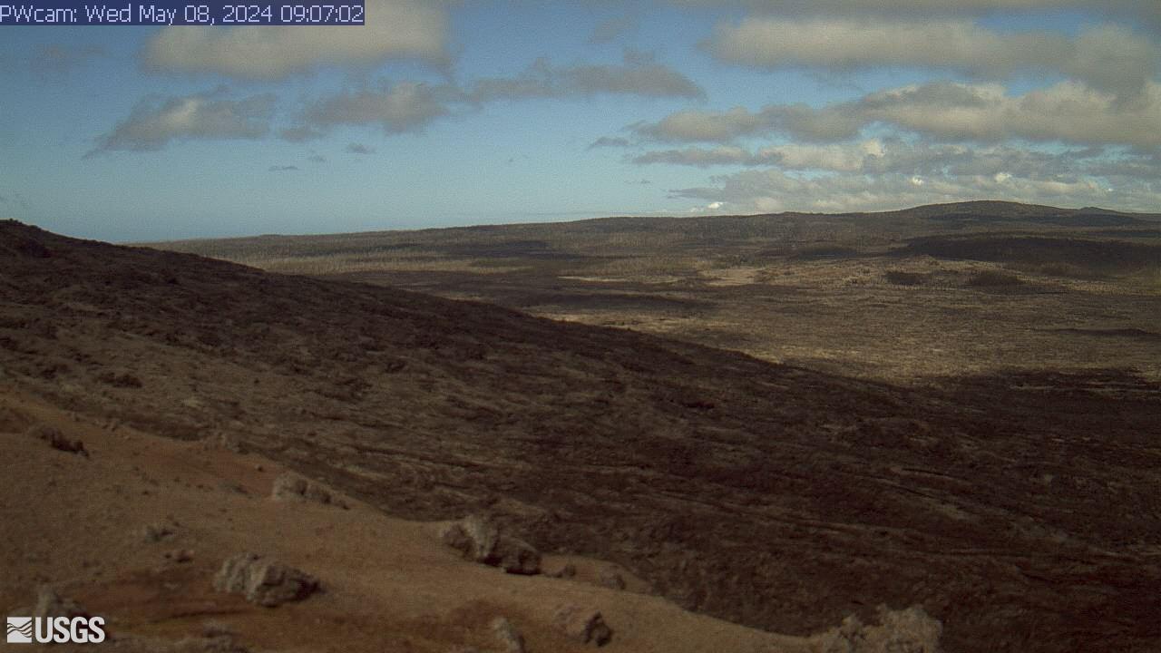
USGS HVO 'PWcam' west of Puʻu Pohaku near Kīlauea caldera. Partner to PEcam; together they watch for fissure breakouts on both sides of the summit vent. Livestreamed continuously by the USGS Hawaiian Volcano Observatory.

Live webcam at R3cam Halemaʻumaʻu Rim in Kilauea.
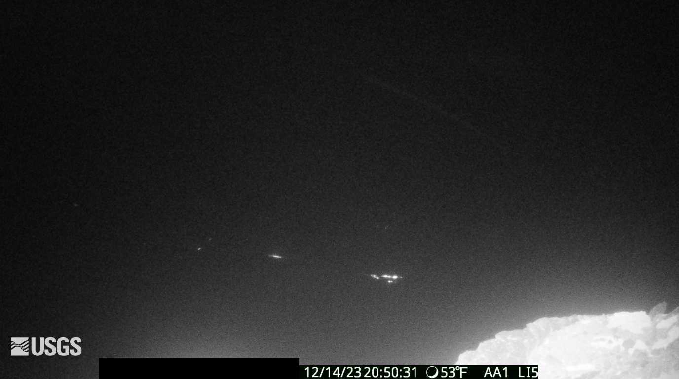
USGS HVO 'S1cam' at the Sulfur Banks (Haʻakulamanu) on Kīlauea's caldera rim. Watch yellow sulfur deposits, steam venting, and colorful hydrothermal alteration of the volcanic rock. One of the few spots where volcanic gases are visible year-round, even between eruptions.

USGS HVO 'S2cam' monitors Kīlauea's South Rift Zone, part of the volcano's active rift system where magma migrates away from the summit toward the coast. One of HVO's network of remote cameras used to track surface activity and ground changes along the rift between eruptions.
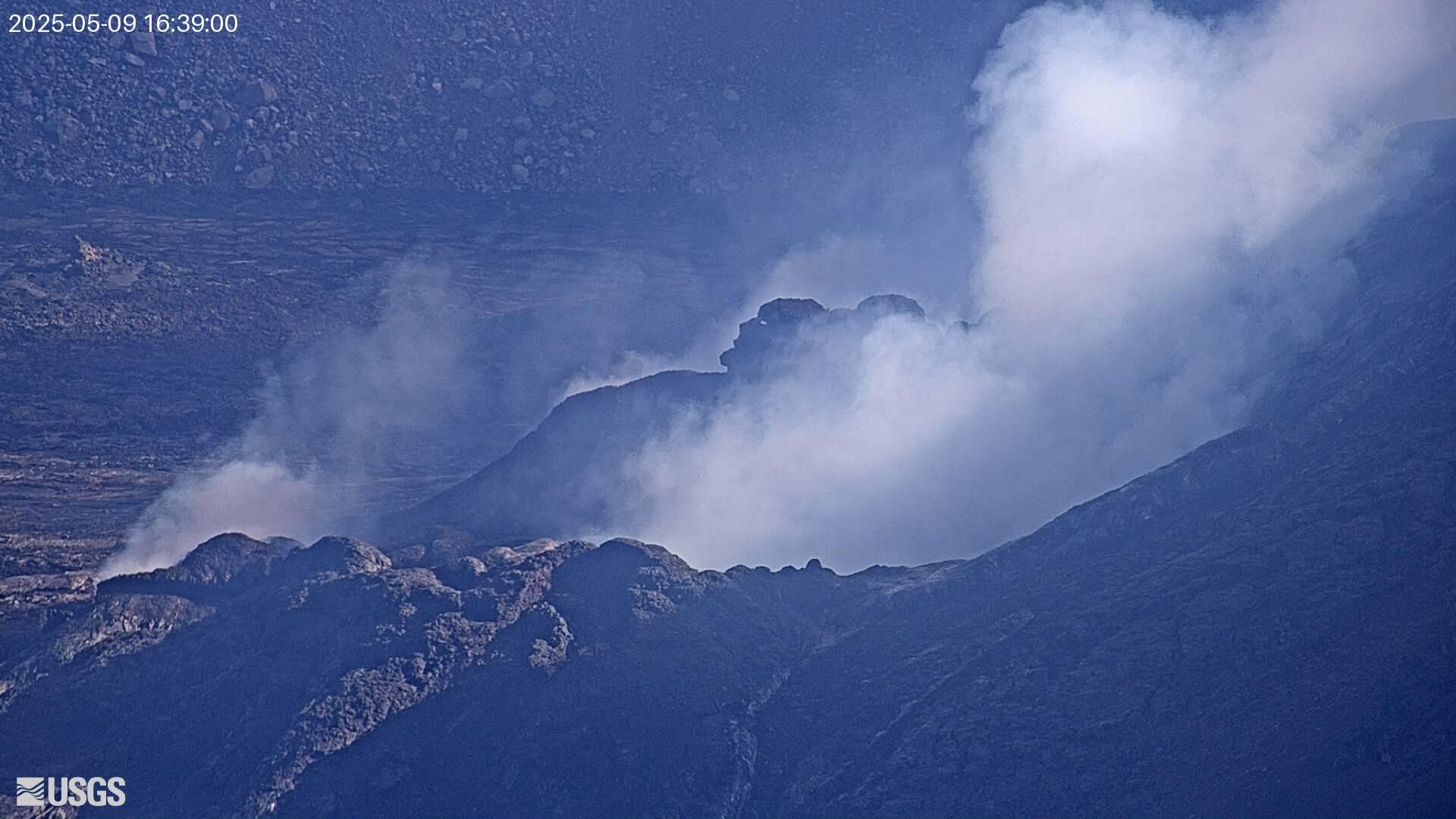
USGS HVO 'V1cam' on the west rim of Halemaʻumaʻu crater — the primary eruption-watch angle. Captures lava fountain activity and spattering directly below the crater wall during summit eruptions. First camera to show fissure breakouts on the western caldera wall.
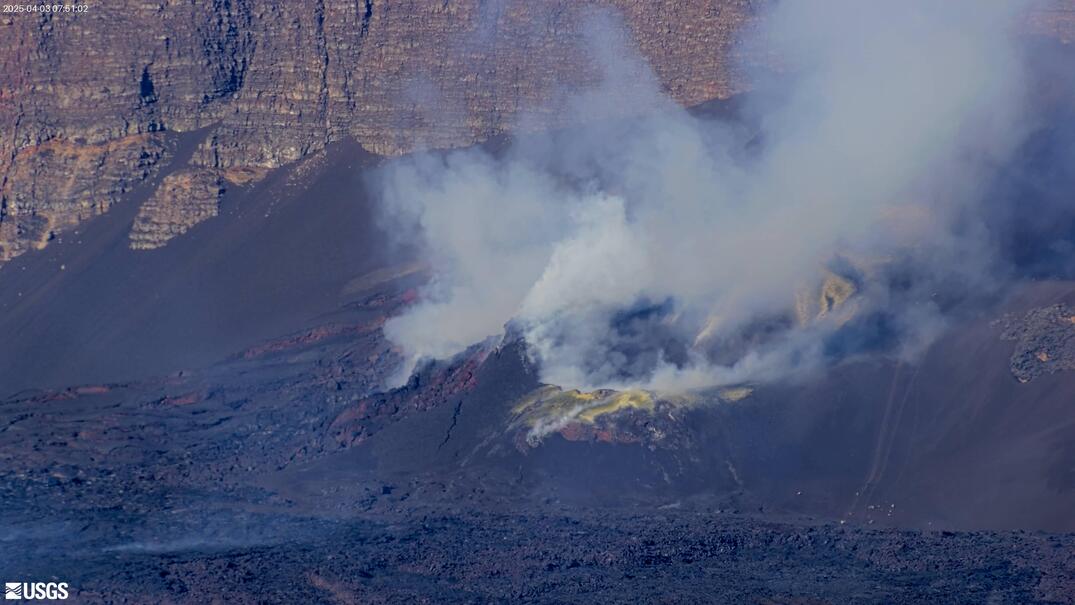
USGS HVO 'V2cam' on the east rim of Halemaʻumaʻu crater, Kīlauea's active summit vent. Looks across the full crater floor and lava lake — catches eruption columns and spattering from the far wall. Companion to V1cam for stereo coverage of the summit vent.
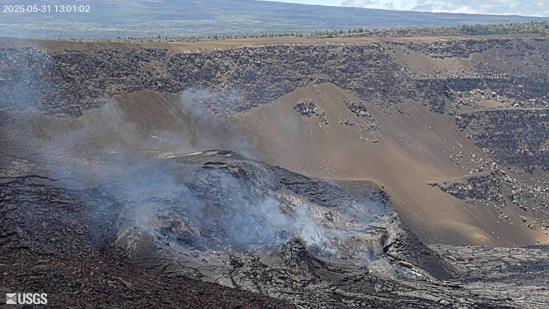
USGS HVO 'V3cam' — south-facing pan-tilt-zoom camera on Kīlauea's Halemaʻumaʻu crater. Wide view of the crater rim and outer caldera; rotates to track active venting and lava flows in real time. Particularly useful for following vent migration during multi-day eruptions.

Live stream of Kīlauea Volcano's East Crater. Watch real-time volcanic activity, lava flows, and eruption events from the eastern vent area.

Live USGS HVO webcam from the Halemaʻumaʻu Perimeter. Wide-angle view capturing eruption events from the rim.

Live USGS HVO webcam at Puʻuʻōʻō South. East Rift Zone monitoring; lava field landscape with native vegetation regrowth.

Live USGS HVO webcam from the Rift Zone (R3cam). Monitoring active deformation and any new vent activity.

Live stream of Kīlauea Volcano's South Caldera. Watch real-time volcanic activity and lava events from the southern vent.
About these cameras
Kilauea is the most thoroughly covered subject on this site, because the USGS Hawaiian Volcano Observatory runs cameras on nearly every flank of it: multiple angles on Halemaʻumaʻu crater (west, east and south views), the Kilauea Overlook, rift-zone stations, and thermal cameras that keep watching when darkness or volcanic gas hides the crater from normal lenses.
During active episodes the difference between angles matters — fountaining that is hidden from one rim camera is often in full view from another, and the thermal views show lava through plumes that white-light cameras cannot penetrate. If you are trying to work out which camera to watch tonight, our guides below compare the angles directly.