1 Honokōwai: the sanctuary cam
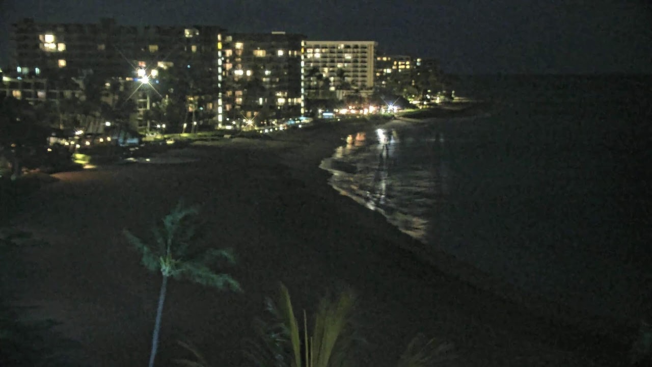
Maui Sands, Honokōwai, West Maui
Live videoafarTV (Maui Sands)
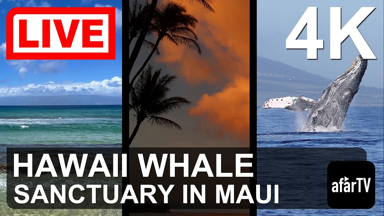
Sweeps the channel to Molokaʻi and Lānaʻi: the best whale view from November to April.


Tuesday, November 10 at 4:22 PM HST
Daylight on Maui.
Drier right now: Kīhei and Wailea (South Maui), as usual.
Partly cloudy · 79°F · 42% cloud
Next 6 h: no rain.
Wind NNW 6 mph.
Overcast · 79°F · 90% cloud
Next 6 h: no rain.
Wind NE 11 mph.
Drizzle · 73°F · 92% cloud
Next 6 h: 0.16 in rain.
Wind E 5 mph.
Open-ocean waves: off the north shore (Peʻahi) 6.6 ft from the NNE at 9 s; off Wailea 4.1 ft from the ESE at 8 s (model, not breaking surf).
Open-Meteo, 4:15 p.m. HST; showers are local, so check the cams.
Coastline © OpenStreetMap contributors. Interactive map
Hawaiʻi time; offline cameras drop to the bottom.
The sunny lee of the West Maui Mountains, facing Molokaʻi and Lānaʻi.
Maui Sands, Honokōwai, West Maui
Live videoafarTV (Maui Sands)
Sweeps the channel to Molokaʻi and Lānaʻi: the best whale view from November to April.
Black Rock, Kāʻanapali Beach
Live videoOzolio for Sheraton Maui Resort & Spa
Down Kāʻanapali Beach from Black Rock, with the channel and the sunset on the right.
Napili Kai Beach Resort, Nāpili Bay
Provider playerOzolio for Napili Kai Beach Resort
The sand and water of Nāpili Bay through a row of palms, in Ozolio’s player.
The driest coast here: Kīhei averages under 11 inches of rain a year.
Polo Beach, Wailea
Live videoOzolio for Fairmont Kea Lani
Mostly open ocean: calm mornings, afternoon wind lines, whale blows in season.
Wailea Beach Resort, Wailea
Live videoOzolio for Wailea Beach Resort Marriott
Across Māʻalaea Bay: shows whether West Maui is clear or under cloud.
Hale Pau Hana, Kīhei
Live videoThe Hale Pau Hana
A rooftop view of the Kīhei shore, its small surf and the afternoon trade wind.
Often above the cloud that covers the island below.
Puʻuʻulaʻula, Haleakalā summit
SnapshotNational Park Service
The park’s still camera for checking crater conditions; each frame carries its time.
Molokaʻi and Lānaʻi have no streaming camera on Port of Cams. These FAA weather cameras are the nearest thing:
From Maui, the Honokōwai and Kāʻanapali cameras look across to both islands.
Trade winds drop their rain on windward coasts; leeward areas tend to be sunny and dry (NWS). NOAA’s 1991–2020 averages:
| Station | Year · Dec–Feb · Jun–Aug |
|---|---|
| KīheiSouth Maui (leeward) | 10.82 in · 5.57 in · 0.45 in |
| Kahului AirportCentral Maui | 16.21 in · 7.22 in · 1.23 in |
| Hāna AirportEast Maui (windward) | 72.15 in · 17.68 in · 15.93 in |
| KaunakakaiMolokaʻi, south coast | 12.26 in · 5.35 in · 0.78 in |
| Molokaʻi AirportMolokaʻi, central plain | 21.72 in · 8.74 in · 2.07 in |
| Lānaʻi AirportLānaʻi | 15.72 in · 6.30 in · 2.03 in |
Hāna Airport gets about 7 times the rain of Kīhei.
Sources: NWS Honolulu: Climate of Hawaii · NOAA NCEI U.S. Climate Normals, 1991–2020 (USC00514489, USW00022516, USC00511125, USC00513541, USW00022534, USC00515275)
Daylight in Hawaiʻi, which has no daylight saving.
| Kāʻanapali, the 15th | Sunrise · sunset (HST) |
|---|---|
| December | 6:57 a.m. · 5:49 p.m. |
| January | 7:07 a.m. · 6:07 p.m. |
| March | 6:36 a.m. · 6:37 p.m. |
| June | 5:46 a.m. · 7:10 p.m. |
| September | 6:15 a.m. · 6:31 p.m. |
No streaming ones on Port of Cams. There is the FAA weather camera at Molokaʻi Airport, and the Honokōwai camera on West Maui looks across to Molokaʻi.
Only the FAA weather cameras at Lānaʻi Airport and on the Munro Trail. From Maui, the Kāʻanapali and Honokōwai cameras look across to Lānaʻi.
Usually South and West Maui: NOAA’s normals give Kīhei 10.82 inches of rain a year and Hāna, on the windward east coast, 72.15.
Yes, the National Park Service’s crater cam at Puʻuʻulaʻula, a still camera. Watching sunrise at the summit needs a reservation from the park.
Sometimes, from November to April (peak January to March, per NOAA). The Honokōwai and Wailea cameras show the most open water.
Yes: the map near the top numbers every Maui camera we carry, with Molokaʻi, Lānaʻi and Kahoʻolawe around it.
Feeds belong to their operators. Weather: Open-Meteo. Climate: NWS and NOAA NCEI. Summit: NPS sunrise reservations, NPS crater cam.
Sell tickets for the room. Make a plan to stream your next show beyond it.
Try another place or clear your filters.
Bring your coastline, harbor or mountain view to Port of Cams.
Explore camera hosting →Plan cameras, mixer audio and a ticketed livestream. Onsite installation or remote-assisted setup, scoped for your venue.
Plan a concert livestream →