1 V1cam: west rim of Halemaʻumaʻu
West rim of Halemaʻumaʻu, Kīlauea summit
Live videoUSGS Hawaiian Volcano Observatory
The livestream to open first when lava is up; glow shows best after dark.


Tuesday, November 10 at 4:21 PM HST
Daylight on the Big Island.
Drier right now: Kailua-Kona (Kona coast), as usual.
Overcast · 81°F · 96% cloud
Next 6 h: no rain.
Wind SW 3 mph.
Drizzle · 76°F · 100% cloud
Next 6 h: 0.14 in rain.
Wind NE 4 mph.
Overcast · 64°F · 99% cloud
Next 6 h: 0.01 in rain.
Wind NNE 12 mph.
Open-ocean waves: off Kona 3.4 ft from the WNW at 11 s; off Hilo 7.4 ft from the NE at 9 s (model, not breaking surf).
Open-Meteo, 4:15 p.m. HST; showers are local, so check the cams.
Volcano cams sit at the feature each is named for. Coastline © OpenStreetMap contributors. Interactive map

Hawaiʻi time; offline cameras drop to the bottom.
USGS streams Halemaʻumaʻu crater from three rims and posts stills from more cameras.
West rim of Halemaʻumaʻu, Kīlauea summit
Live videoUSGS Hawaiian Volcano Observatory
The livestream to open first when lava is up; glow shows best after dark.
East rim of Halemaʻumaʻu
Live videoUSGS Hawaiian Volcano Observatory
The same crater from the other side, often clearer when the plume blows west.
South rim of Halemaʻumaʻu
Live videoUSGS Hawaiian Volcano Observatory
Side-on to the crater floor, the view for judging fountain height.
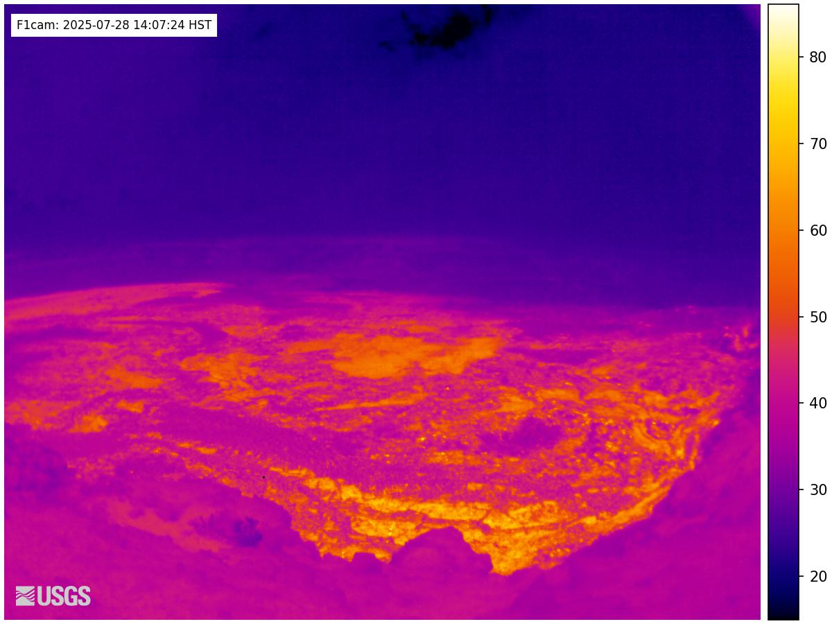
Halemaʻumaʻu rim
SnapshotUSGS Hawaiian Volcano Observatory
Colour is temperature, so it tells fresh lava from mere light, day or night.
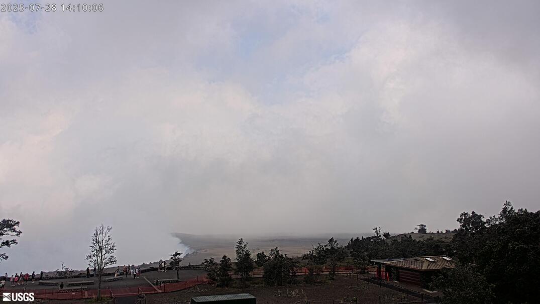
Uēkahuna bluff, north-west rim of the caldera
SnapshotUSGS Hawaiian Volcano Observatory
The wide view of the summit and its gas plume from the high north-west rim.
Mauna Ulu, on Kīlauea’s East Rift Zone
SnapshotUSGS Hawaiian Volcano Observatory
A still camera on the upper East Rift Zone, quiet unless magma moves east.
Earth’s largest active volcano, and the observatories above the clouds.
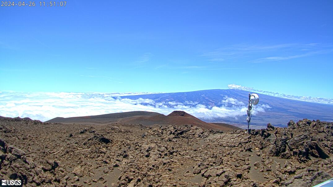
Maunakea, looking south
SnapshotUSGS Hawaiian Volcano Observatory
The long view of Mauna Loa, often above a sea of cloud; clearest in the morning.
Mauna Loa Observatory, high on Mauna Loa’s north flank
SnapshotNOAA Global Monitoring Laboratory
NOAA’s view across the saddle to Maunakea, usually above the cloud deck.
Since 23 December 2024 Kīlauea has erupted in episodes: hours of fountaining, then days of pause. Is Kīlauea erupting right now? shows USGS’s current alert level; Kīlauea live has every crater cam.
No Big Island beach cam is live on Port of Cams. FAA weather cameras cover the coasts:
Sources: USGS: Kīlauea · USGS: Mauna Loa · all Hawaiʻi FAA cameras
Trade winds drop their rain on windward coasts; leeward areas tend to be sunny and dry (NWS). NOAA’s 1991–2020 averages:
| Station | Year · Dec–Feb · Jun–Aug |
|---|---|
| Kona International Airport (Keāhole)Kona coast (leeward) | 9.87 in · 3.58 in · 1.79 in |
| Hilo International AirportHilo side (windward) | 120.39 in · 30.15 in · 27.84 in |
Hilo International Airport gets about 12 times the rain of Kona International Airport (Keāhole).
Sources: NWS Honolulu: Climate of Hawaii · NOAA NCEI U.S. Climate Normals, 1991–2020 (USW00021510, USW00021504)
Daylight for the summit views, night for lava glow.
| Kailua-Kona, the 15th | Sunrise · sunset (HST) |
|---|---|
| December | 6:52 a.m. · 5:49 p.m. |
| January | 7:02 a.m. · 6:06 p.m. |
| March | 6:33 a.m. · 6:34 p.m. |
| June | 5:46 a.m. · 7:05 p.m. |
| September | 6:12 a.m. · 6:28 p.m. |
Yes: USGS streams Halemaʻumaʻu, the summit crater, live from three rims, plus stills from more cameras including a thermal one. All are on this page.
Not on Port of Cams right now: we haven’t found a beach stream we can verify and keep running. The FAA weather cameras linked here cover the coasts.
Kona, by far: NOAA’s normals give Kona International Airport 9.87 inches of rain a year and Hilo International Airport 120.39.
Yes: USGS points a camera from Maunakea at Mauna Loa, and NOAA’s observatory camera on Mauna Loa looks across at Maunakea.
Hawaiʻi Standard Time (UTC−10) all year, with no daylight saving. Lava glow shows best at night.
Feeds belong to their operators. Weather: Open-Meteo. Climate: NWS and NOAA NCEI.
Sell tickets for the room. Make a plan to stream your next show beyond it.
Try another place or clear your filters.
Bring your coastline, harbor or mountain view to Port of Cams.
Explore camera hosting →Plan cameras, mixer audio and a ticketed livestream. Onsite installation or remote-assisted setup, scoped for your venue.
Plan a concert livestream →