

About This Camera
This USGS camera (MU) overlooks the Mauna Ulu area on Kīlauea's East Rift Zone, Hawaii Island — the site of a landmark eruption that ran from 1969 to 1974 and reshaped this part of the volcano. Mauna Ulu ("growing mountain") built a new lava shield, sent flows all the way to the ocean, and was one of the longest and most-studied rift-zone eruptions of the twentieth century, advancing scientists' understanding of how Hawaiian volcanoes work.
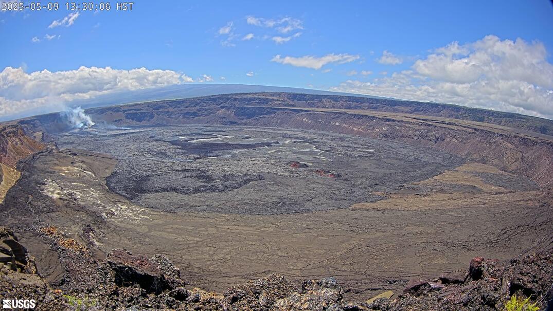
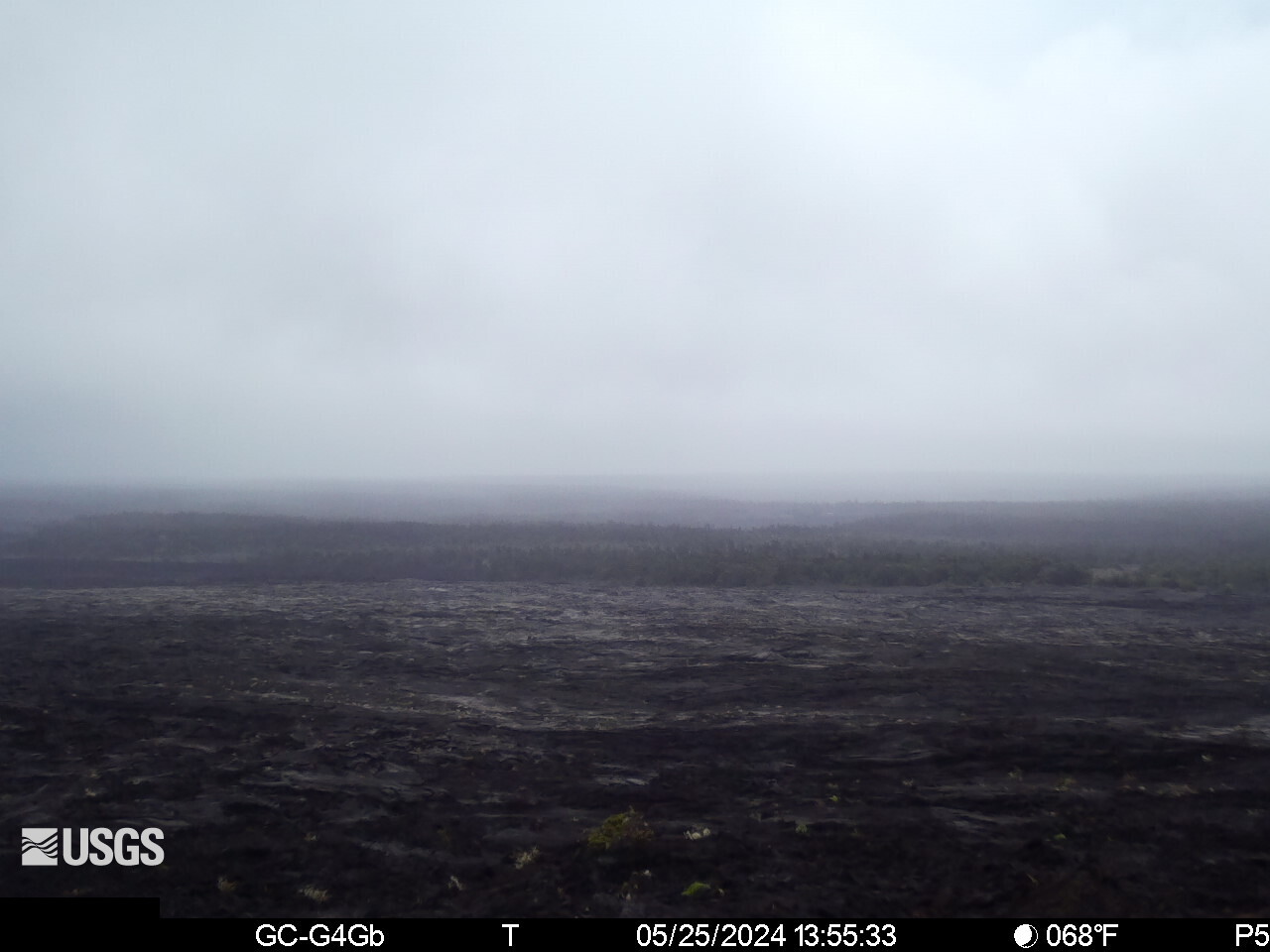
The camera shows the rift-zone landscape of old lava shields, cooled flows, and revegetating terrain along the volcano's flank. While Mauna Ulu is not currently active, the East Rift Zone is where much of Kīlauea's eruptive activity has historically occurred, including the long-lived Puʻu ʻŌʻō eruption nearby. Conditions along the rift change with elevation and the trade winds, ranging from clear to misty and vog-laden. Hawaii does not observe daylight saving.
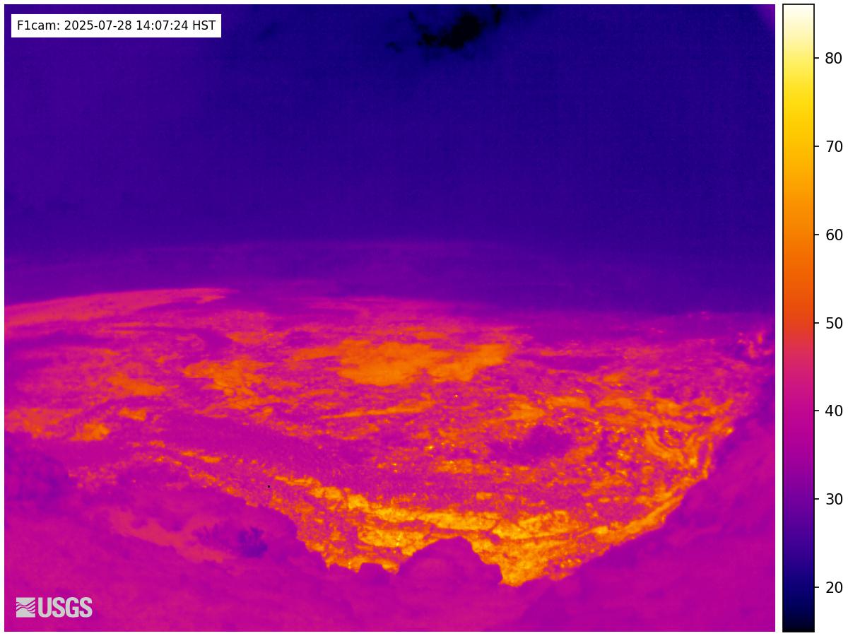
Part of the USGS Hawaiian Volcano Observatory's monitoring array within Hawaiʻi Volcanoes National Park, the feed watches a stretch of rift that scientists keep under close observation. The Mauna Ulu trail crosses this dramatic landscape of hardened lava and offers a tangible record of the 1969–74 eruption.
Heading to Kilauea, Usgs? See the weather, the light and how busy it is for yourself before you go — this is the view right now, not a photo from a brochure.
Advertisement
‹/› Embed this camera on your website Free for any site — copy the code, keep the credit line.
The player stays live and auto-updates — no maintenance on your end. Feed problems? It falls back gracefully.
Advertisement
You Might Also Like
Fetching local weather…
Volcano & Seismic Activity
PRO Volcano & Seismic Activity — Premium
Live alert level cues and recent earthquakes near the cam.
Unlock Premium — $1 first monthAlready Premium? Sign in to view.
Forecast data: Open-Meteo · NOAA SWPC · USGS. Conditions are estimates.
Recommended Gear

As an Amazon Associate, we earn from qualifying purchases.