Share your scenic view.
Bring your coastline, harbor or mountain view to Port of Cams.
Explore camera hosting →

In the lower 48 the aurora is a storm-night event: it usually takes Kp 5 or more before it shows low in the northern sky from the border states. These cameras sit in dark places along that edge, so when NOAA’s storm watch goes up you can see from home whether it has reached them.
The live planetary K-index loads from NOAA in your browser.
Roughly what puts aurora in Grand Forks, ND’s sky on a dark, clear night. Higher Kp brings it overhead and brighter.
Tonight’s verdict compares NOAA’s Kp forecast for Grand Forks, ND’s dark hours with the Kp needed here.
A dark live-video camera with the least cloud; a snapshot camera only when no video camera here is dark. Press play to watch it here.
Ranking the cameras by darkness and cloud…
Live video first, then snapshot cameras (still images that refresh every few minutes, including science all-sky cameras). Within each group: dark now first, then least cloud. “Dark” means the sun is more than 12° below the horizon at that camera; cloud is Open-Meteo’s current model value for the spot.
 Mt. Katahdin, Maine, USA Millinocket Lake, Maine Live video Dark (sun below −12°): 6:36 PM EDT – 6:06 AM EDT
 Sebec Lake, Maine, USA Sebec Lake, Maine Live video Dark (sun below −12°): 6:41 PM EDT – 6:06 AM EDT
 Grand Forks skycam, North Dakota University of North Dakota, Grand Forks, ND Live video Dark (sun below −12°): 7:26 PM CDT – 7:01 AM CDT
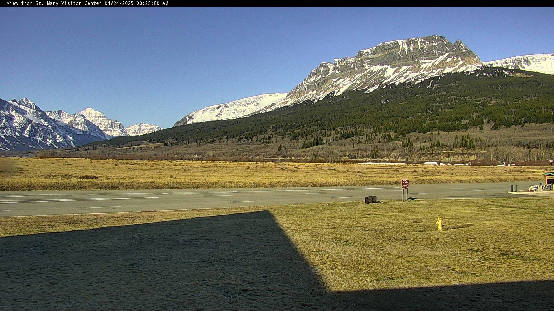 St. Mary, Glacier National Park, MT Glacier NP, Montana Snapshot Dark (sun below −12°): 7:36 PM MDT – 7:06 AM MDT
Because the north magnetic pole is on the Canadian side of the Arctic, the US sees aurora further south than Europe does at the same latitude. Grand Forks at 48°N has about the same geomagnetic latitude as Copenhagen at 56°N. Even so, the border states need a geomagnetic storm:
| Kp | NOAA storm level | Where it usually shows, low in the north |
|---|---|---|
| 5 | G1 minor | Northern Minnesota and North Dakota, Montana’s Hi-Line, Glacier NP, northern Maine |
| 6 | G2 moderate | Michigan’s Upper Peninsula, Wisconsin, Washington, the rest of Maine, Vermont |
| 7 | G3 strong | Chicago, upstate New York, Oregon, Iowa, South Dakota |
| 8–9 | G4–G5 severe | Much of the country; in May 2024 it reached the Gulf Coast and northern Mexico |
NOAA’s aurora dashboard draws a “view line”, the southern edge of where aurora may be seen low on the horizon for the next half hour. If your town is near that line, face north and use a phone camera: it will often show colour, especially the high red glow of a big storm, before your eyes can.
A US aurora night usually starts with a coronal mass ejection forecast to arrive within a day or two. NOAA issues a geomagnetic storm watch, which is what turns on the storm banner at the top of this page. Arrival times are uncertain by several hours, and the storm’s strength depends on the direction of its magnetic field, which is only measured about an hour before it reaches Earth. So the useful habit is to check after dark and keep checking: the best displays in the lower 48 often come in a burst of 20–40 minutes, sometimes before midnight and sometimes in the small hours.
Unlike the Arctic, the northern US has real darkness all year, so a storm in June can be seen, if only for a few hours around midnight. The equinox months of March and September to October are statistically the most active.
Get a clear view to the north, away from towns. Good choices: Voyageurs National Park and the Boundary Waters in northern Minnesota, both certified dark-sky places; the Lake Superior shore of the Upper Peninsula, and the Headlands International Dark Sky Park at Mackinaw City at the tip of the Lower Peninsula; the open prairie of North Dakota anywhere north of I-94; Glacier National Park’s east side in Montana; and in Maine the Katahdin region or the Down East coast. Lake-effect cloud off the Great Lakes is the main spoiler from November to February, while the northern Plains often clear sharply behind a cold front.
For alerts, NOAA’s Space Weather Prediction Center sends free email notices of storm watches and warnings, and the camera ranking above tells you which of these skies is dark and clear at that moment.
Kp: NOAA Space Weather Prediction Center. Cloud: Open-Meteo. Camera feeds belong to their operators, named on each camera page.
Sell tickets for the room. Make a plan to stream your next show beyond it.
Try another place or clear your filters.
Bring your coastline, harbor or mountain view to Port of Cams.
Explore camera hosting →Plan cameras, mixer audio and a ticketed livestream. Onsite installation or remote-assisted setup, scoped for your venue.
Plan a concert livestream →