Live Mt. Rainier Webcams
The volcano that defines the Seattle skyline, from inside its own national park.
Live 360° summit view from Crystal Mountain Resort in the Cascade Range, Washington, near Mt. Rainier.

Live webcam on Mt. Rainier's east side at Sunrise, 6,400 ft — the highest point reachable by vehicle in the park, and the start of some of its best subalpine hiking.

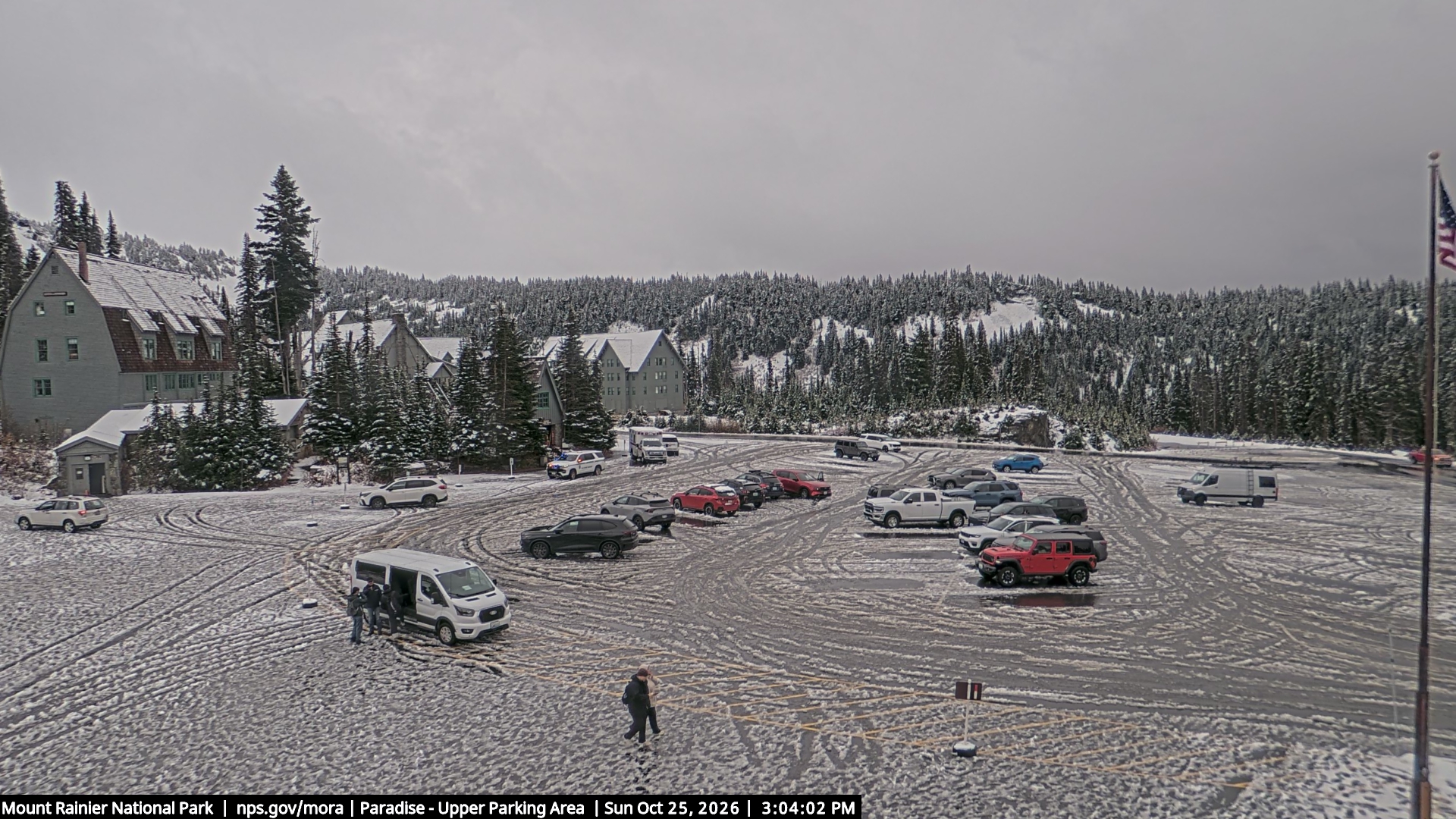
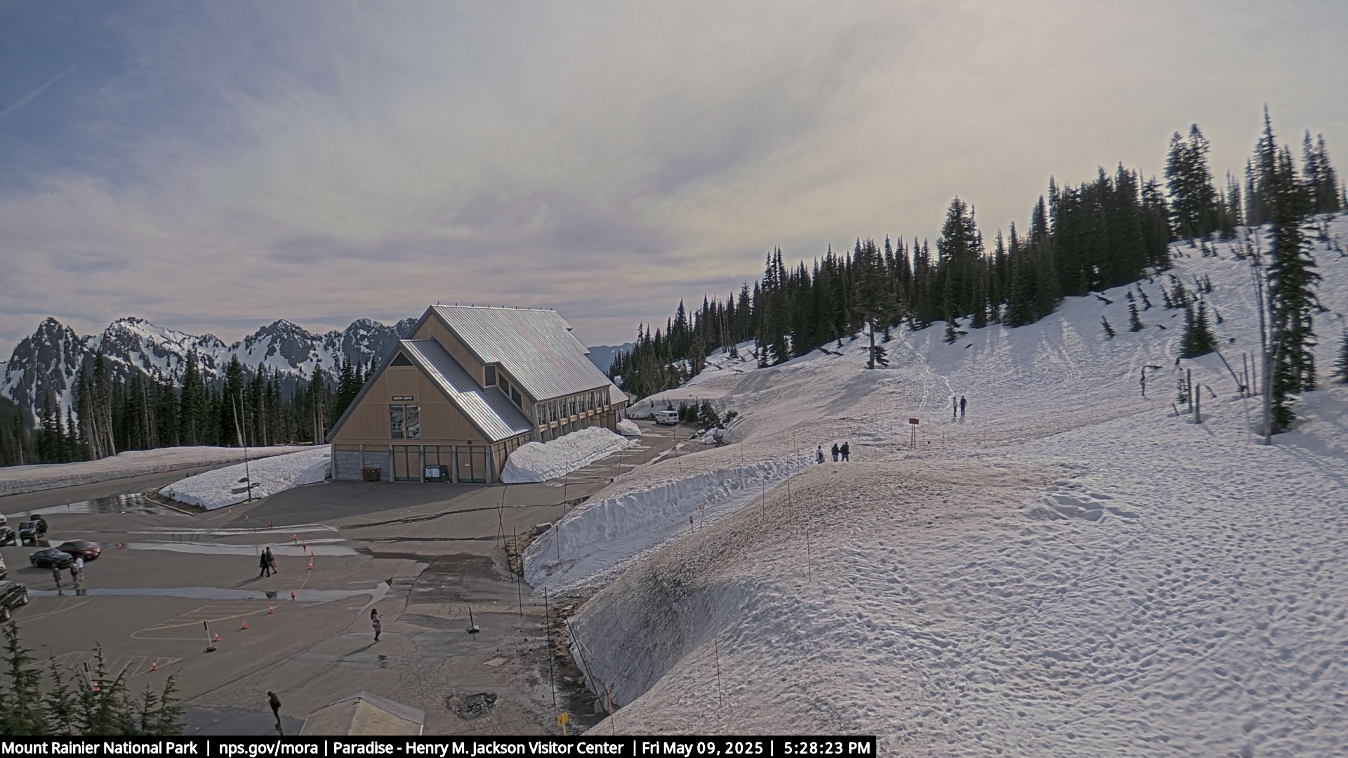
Live webcam of the Jackson Visitor Center at Paradise, Mt. Rainier National Park — the park's main hub for trailheads, ranger programs, and the mountain's most-photographed approach.

Live webcam at Longmire, Mt. Rainier National Park's historic year-round gateway at 2,761 ft. National Park Inn, museum, hot springs, and old-growth forest mark this historic founding site. First glimpse of Rainier's glaciated cone rising above the Nisqually River drainage.
NPS webcam on Mt. Rainier's east side at Sunrise, 6,400 ft — highest point reachable by car in Washington. Subalpine wildflower meadows blanket the slopes late July through August. Sunrise area typically open July through early October; shorter season than Paradise.
NPS webcam near the Grove of the Patriarchs, Mt. Rainier National Park's Ohanapecosh area. Ancient Douglas firs and western red cedars up to 1,000 years old line the Ohanapecosh River. One of the finest old-growth forest groves in the Pacific Northwest — a short trail loop leads through.
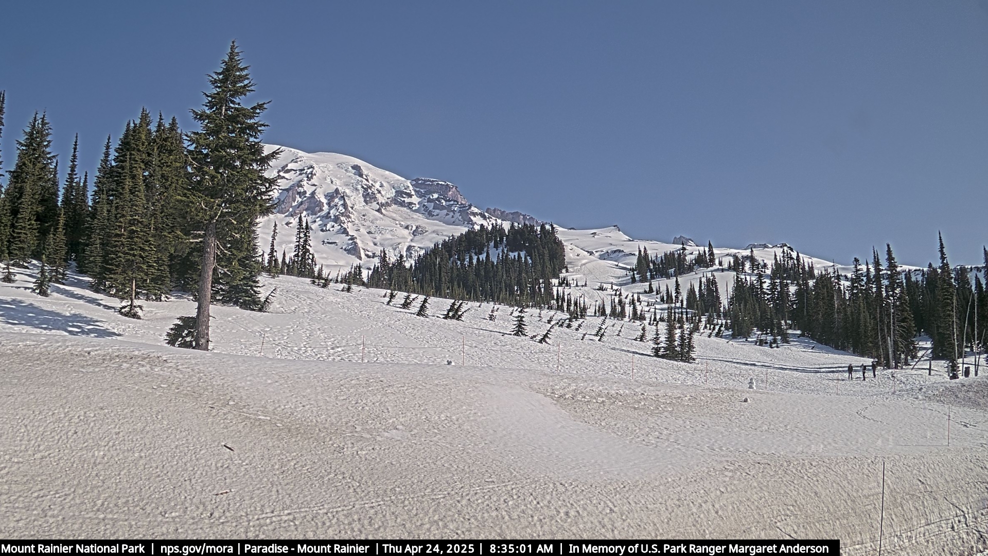
NPS webcam trained on Mt. Rainier's 14,411-ft summit — an active stratovolcano towering above Seattle. Clouds build around the summit by afternoon; clearest views at sunrise. Rainier holds more glacial ice than any other peak in the contiguous United States.

Live webcam at the Sunrise parking area, Mt. Rainier National Park — at 6,400 ft, the highest point in the park reachable by car, and the start of some of its best subalpine hiking.
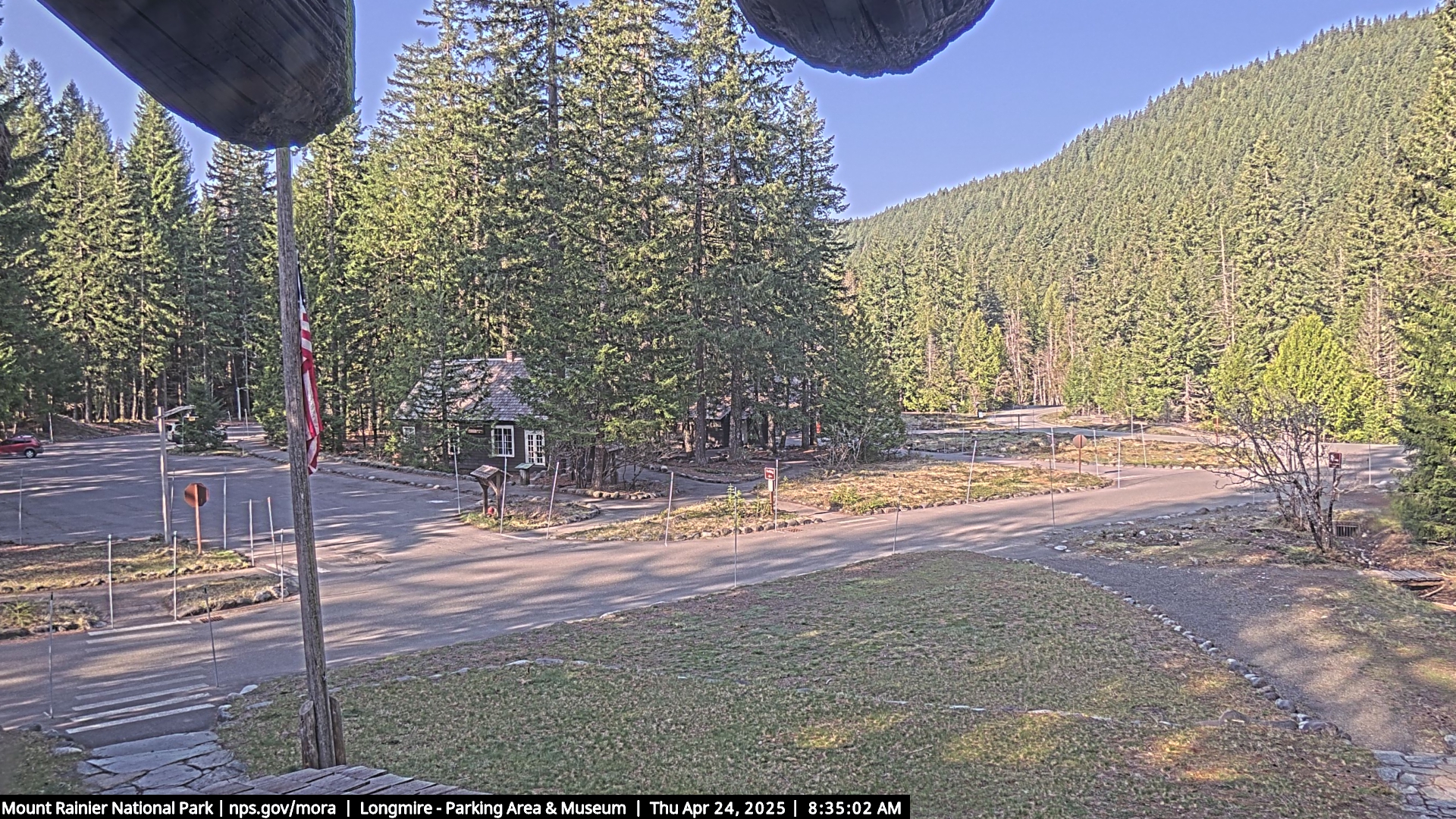
NPS webcam at Longmire, Mt. Rainier National Park's historic year-round gateway at 2,761 ft. National Park Inn, museum, hot springs, and old-growth forest mark this historic founding site. First glimpse of Rainier's glaciated cone rising above the Nisqually River drainage.
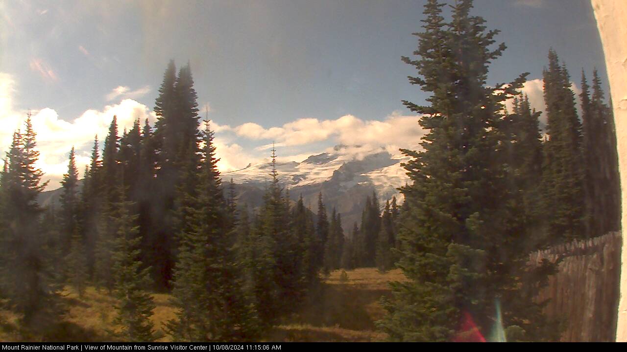
Live webcam view of Mount Rainier from the Sunrise area, the park’s highest drivable point at 6,400 ft. Wildflower meadows through midsummer, often the clearest mountain views in the park.

NPS webcam at the Tatoosh Range south of Mt. Rainier, viewed from the Paradise area. Rugged subalpine ridge with views of Rainier's south face, Reflection Lakes, and Pinnacle Peak. Elk graze the open Tatoosh slopes in summer — herds frequently visible on the ridgeline.

NPS webcam on Mt. Rainier's west side covering the Nisqually Entrance approach. Watch the Paradise road corridor, lower Nisqually Glacier, and old-growth forest below the park boundary. The Nisqually Entrance is the park's main year-round gateway for visitors from Tacoma and Seattle.
About these cameras
Mount Rainier makes its own weather, and the park’s cameras show it: the mountain view cameras catch the summit when it is out, the Paradise-area and Tatoosh Range views show the alpine meadows and snowpack, and Longmire — the historic park headquarters in old-growth forest at the mountain’s foot — is often clear when everything above it is in cloud.
The practical use is trip timing: Rainier is famously visible or invisible with little in between, and a camera check beats any forecast for deciding whether today is a Paradise day. Snow lingers at Paradise well into July most years, which surprises first-time visitors more than anything else in the park.